Schnebly Hill Radio Towers
Total Miles
1.5
Elevation
2,016.53 ft
Duration
0.5 Hours
Technical Rating
Best Time
Spring, Summer, Fall
Trail Overview
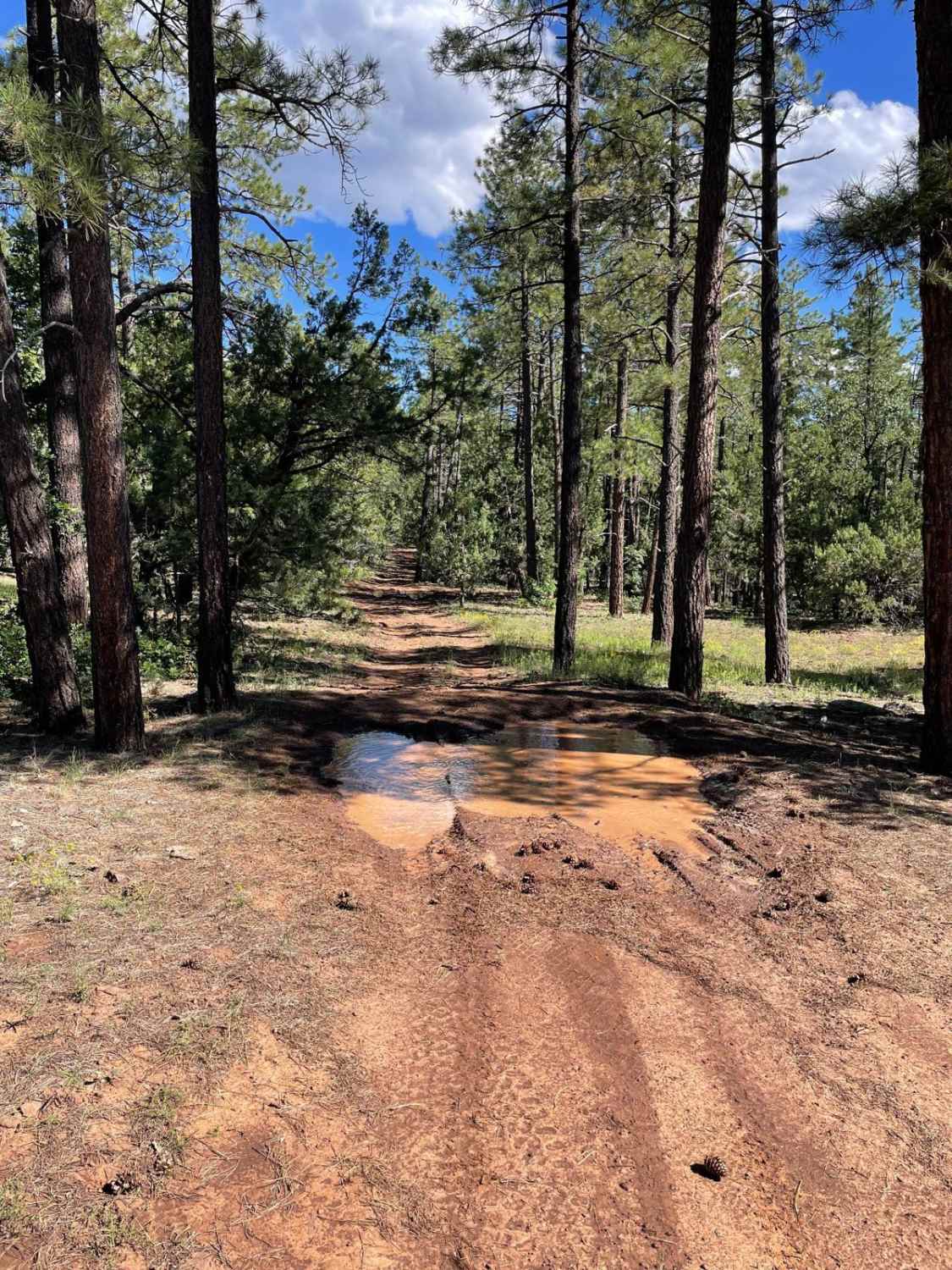
This short trail takes you up across Shnebly Hill and down to Schnebly Hill Trail which is a guided route. This trail is a dirt road that has some small erosion ruts from water runoff. After a good rain, there is potential for some small mud holes. There are a few small rocky surfaces on this trail in the areas climbing towards the radio towers on top of the hill. As you descend from the radio towers, you will travel next to power lines. After these power lines, the trail traverses a little farther and ends on Schebly Hill Trail.
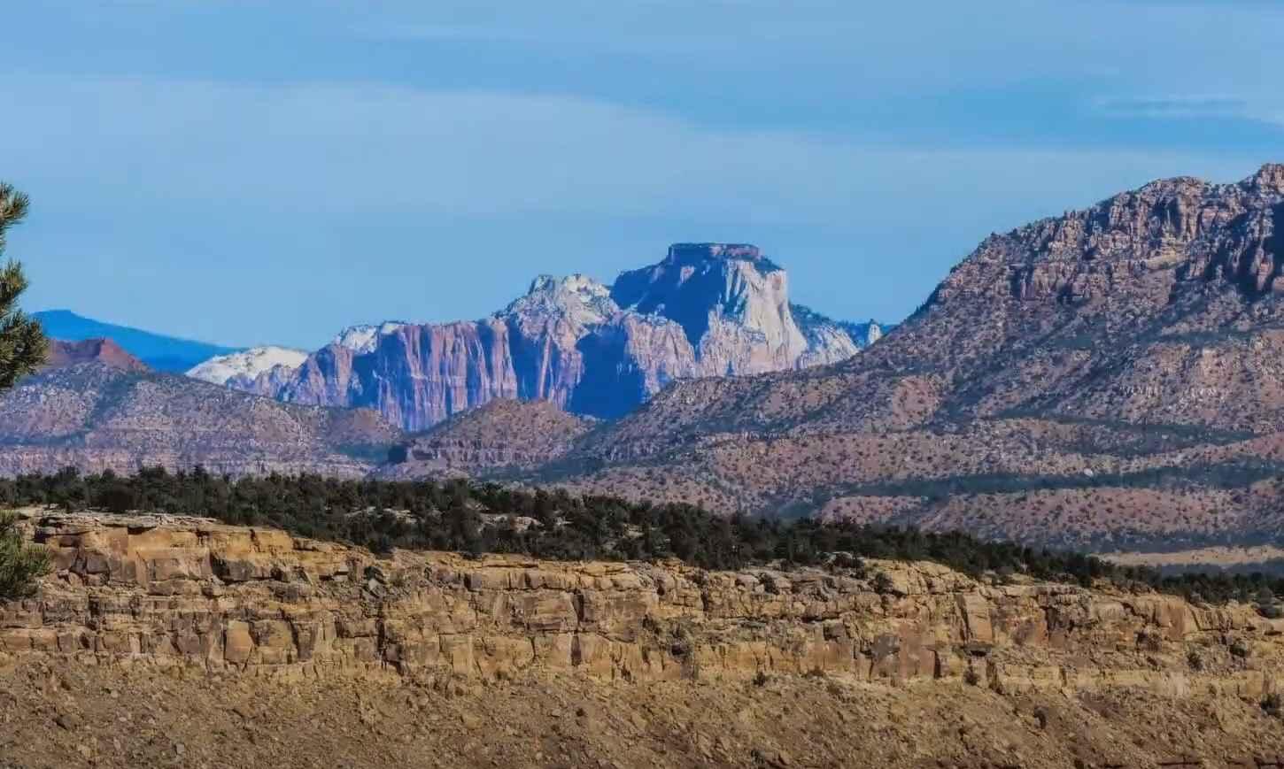
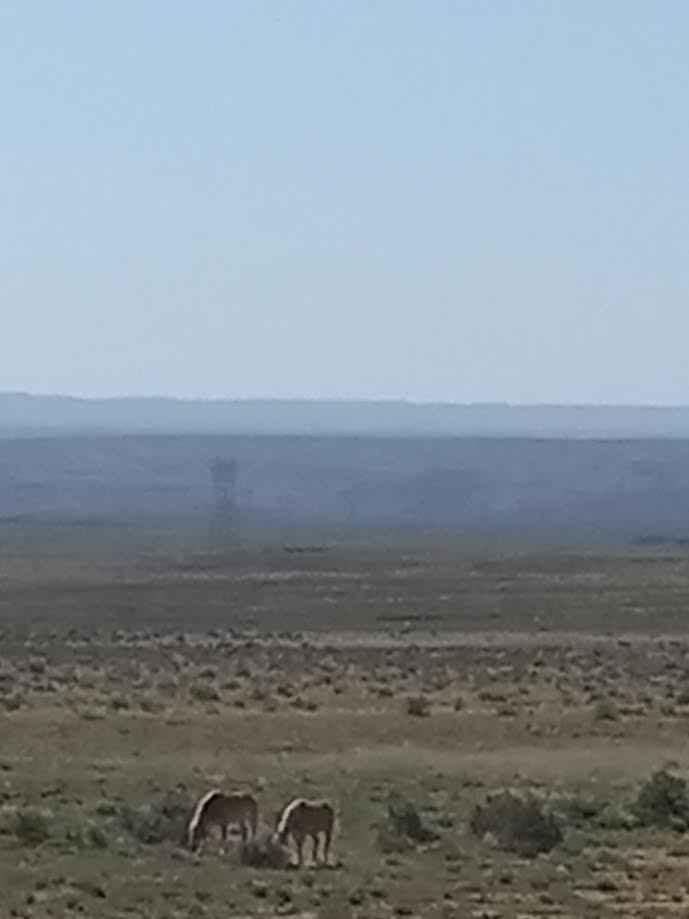
Photos of Schnebly Hill Radio Towers
Difficulty
Expect an uneven, rutted dirt trail with the potential for mud holes.
Status Reports
Popular Trails

Shoemaker Connector

Lost Spring Mesa BLM 2100

County Hwy 109/Mt. Trumbull Road

Mount Trumbull Interconnect
The onX Offroad Difference
onX Offroad combines trail photos, descriptions, difficulty ratings, width restrictions, seasonality, and more in a user-friendly interface. Available on all devices, with offline access and full compatibility with CarPlay and Android Auto. Discover what you’re missing today!

