South Power Slog
Total Miles
5.0
Elevation
2,181.30 ft
Duration
1.25 Hours
Technical Rating
Best Time
Spring, Summer, Fall
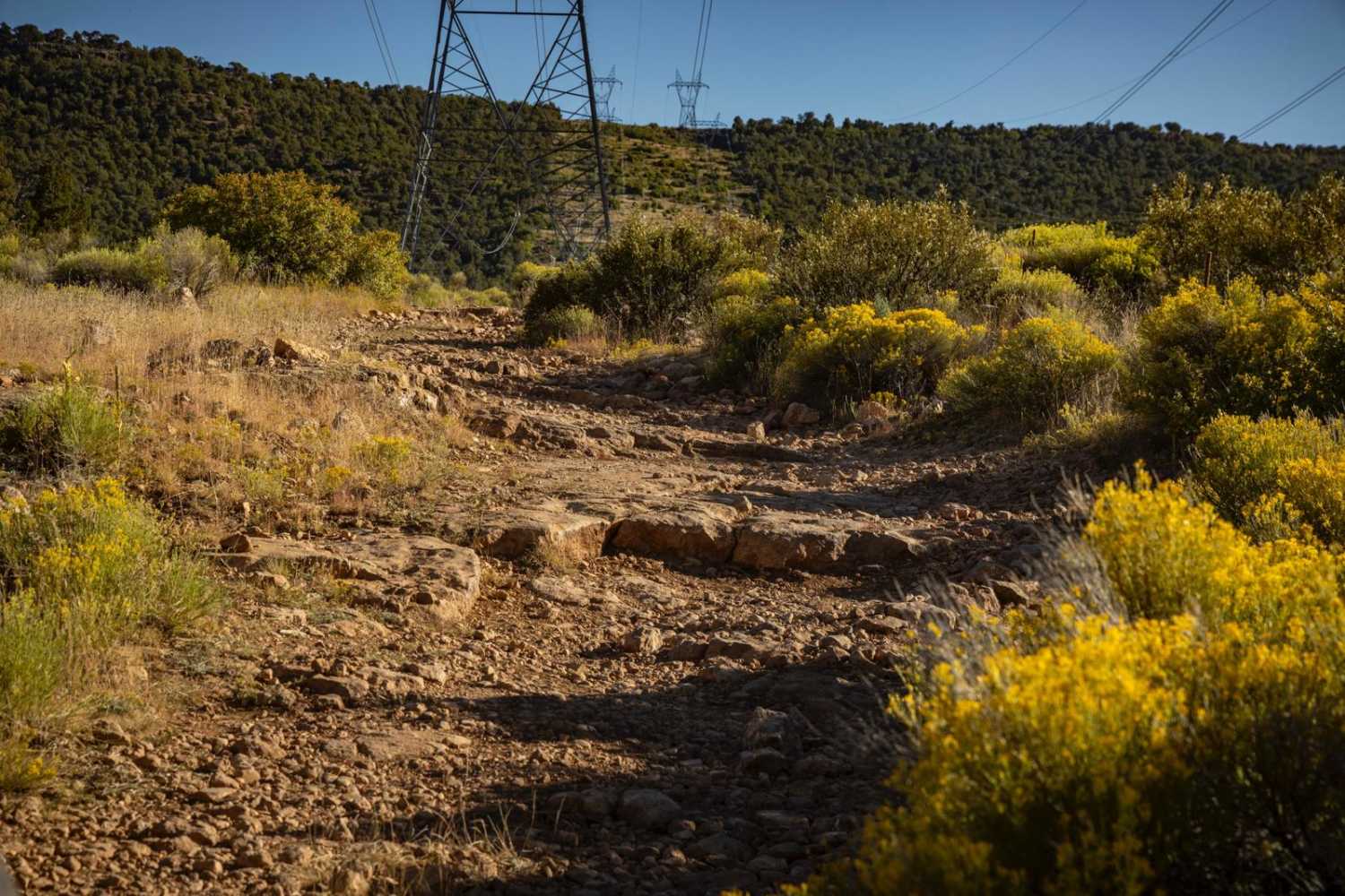
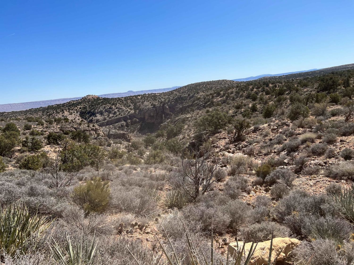
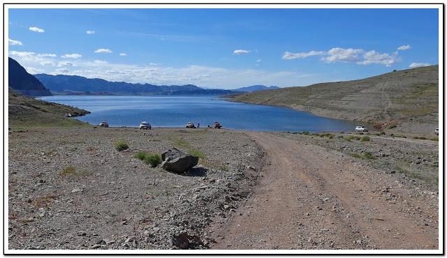
Trail Overview
South Power Slog was run from its South end to the North. It consists of large rocks, and what seems to be an endless rock garden, from the high start at Ashurst Lake all the way until you drop into the lower elevations. The route is comprised of ledges, boulders, a rocky creek section, erosion, washouts, water damage, and challenging sections of steep grades filled with large shifting rocks and hairpin turns. In short, it's a slow slog. Along the trail, you might see hunters, as this area is popular for elk, deer, and antelope. There is no service in this area, so offline maps are essential. There are numerous trails that intersect this one, so there might be numerous ways to opt out of the challenging rock landscape for smoother trails if that's what you're looking for.
Photos of South Power Slog

Difficulty
This is an unmaintained rocky trail consisting of obstacles, large, loose, shifting rocks, hairpin turns on steep downhill grades and hazardous terrain. Caution is urged.
Status Reports
Popular Trails
Segmiller - Sunshine Trail Interconnect
Kingman Wash
Jacob Lake Burn Piles

86 Road to Closed Gate
The onX Offroad Difference
onX Offroad combines trail photos, descriptions, difficulty ratings, width restrictions, seasonality, and more in a user-friendly interface. Available on all devices, with offline access and full compatibility with CarPlay and Android Auto. Discover what you’re missing today!