Segmiller - Sunshine Trail Interconnect
Total Miles
6.3
Elevation
1,491.10 ft
Duration
0.5 Hours
Technical Rating
Best Time
Summer, Fall
Trail Overview
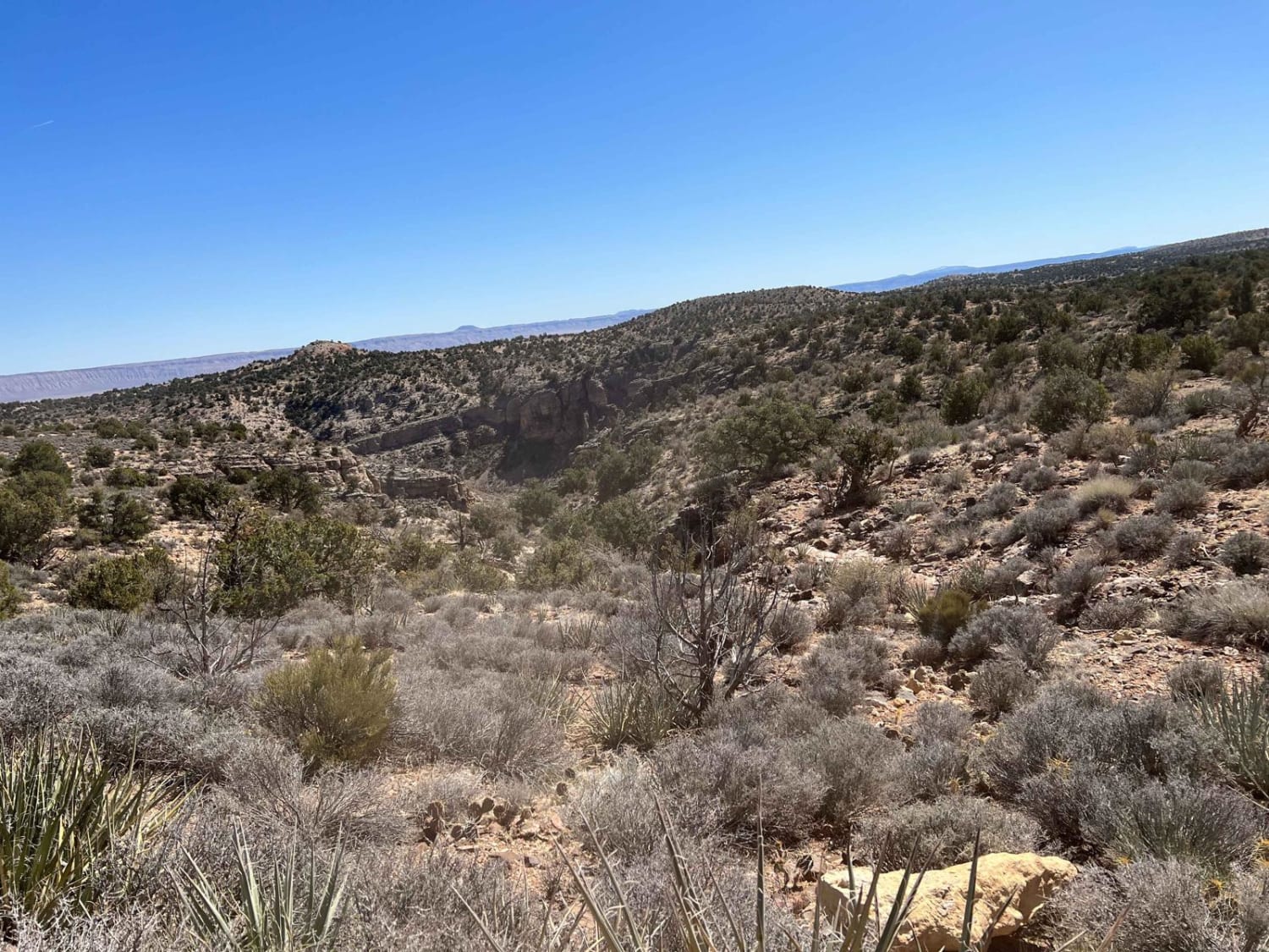
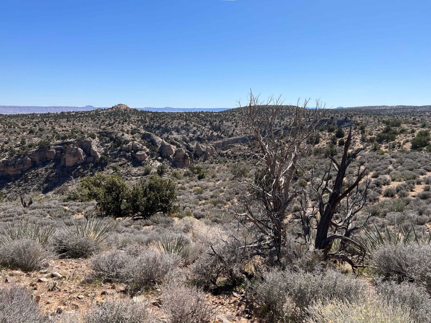
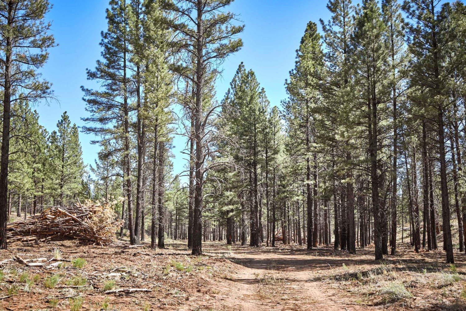
When added to another submitted trail this route provides a link between County Road 5 and the Sunshine Trail. Along the way, you will potentially see cattle and wild animals. There are numerous side trails that can explore and the Sunshine trail provides a quick way back to the St. George area.
Photos of Segmiller - Sunshine Trail Interconnect
Difficulty
The western end of this trail is rocky and you will be climbing going west to east. The trail is relatively easy however there are some deeper wash areas that can require a little maneuvering.
Status Reports
Popular Trails

Cedar Train

South Mesa

Upstream Access to China Dam
The onX Offroad Difference
onX Offroad combines trail photos, descriptions, difficulty ratings, width restrictions, seasonality, and more in a user-friendly interface. Available on all devices, with offline access and full compatibility with CarPlay and Android Auto. Discover what you’re missing today!


