Upstream Access to China Dam
Total Miles
0.8
Technical Rating
Best Time
Spring, Summer, Fall, Winter
Trail Type
Full-Width Road
Accessible By
Trail Overview
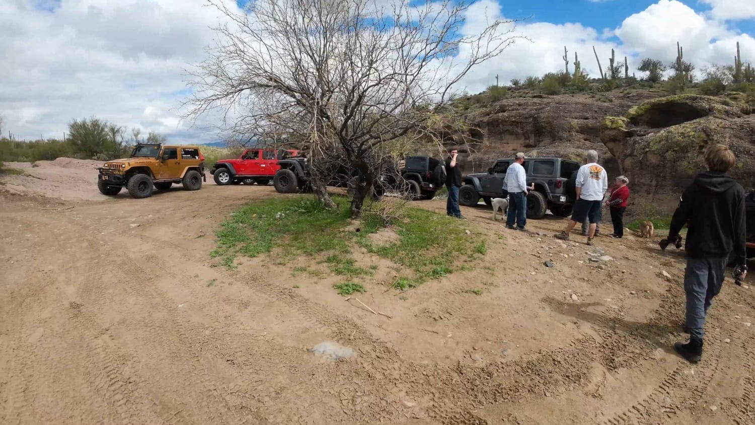
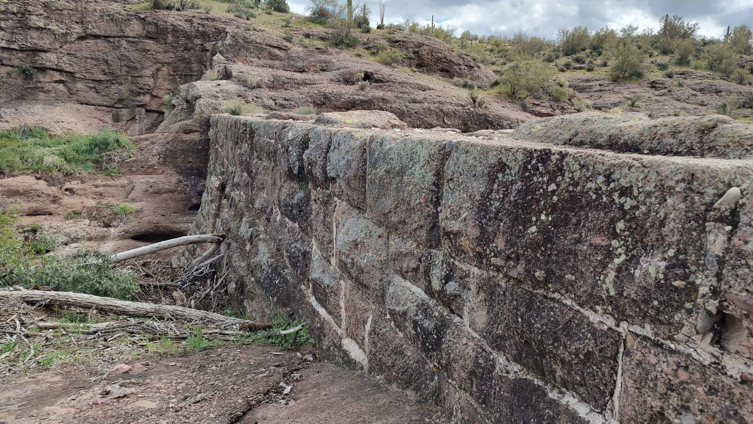
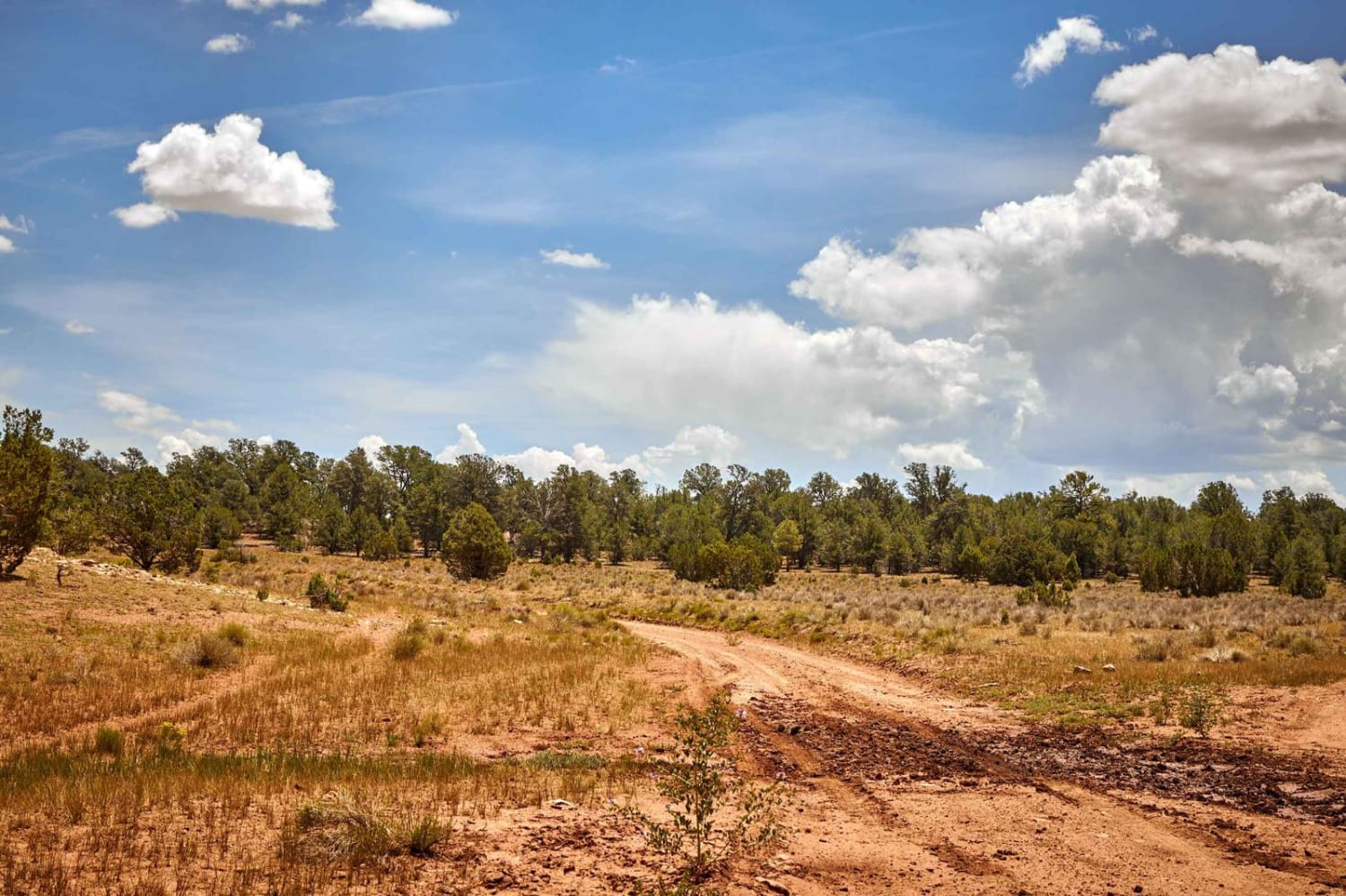
At these coordinates (33.97503 N, -112.30643 W) on Cow Creek Road, there is a Y in the road. If you take a right here, the trail will continue to the creek and eventually, Tule Homestead. If you take a left here, you can continue down into the creek to a small staging area upstream from the China Dam for a nice side trip. From this staging area, you will have access to the area around the dam for pictures, some brief hiking, and some exploration. Please take care to know your limitations hiking in this area. Also, take care during the monsoon season if you plan on visiting this area. The trail is easy except for the final descent into the creek. It is steep but not difficult. The staging area is small but you could likely fit 7-10 small vehicles here. Please be respectful to other visitors. Follow Tread Lightly principles; take only pictures and leave only footprints.
Photos of Upstream Access to China Dam
Difficulty
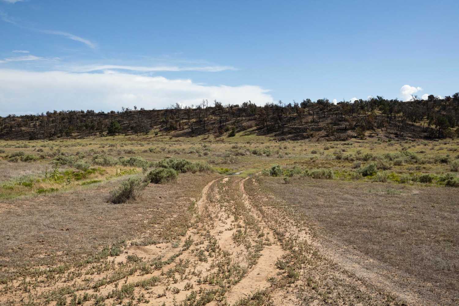
This route is bumpy and dirt but it is easy. The only difficult section is the last decent into the creek, which is easy on the way to the creek but will be a little steep on the climb out. It will likely require 4 low for safety and added vehicle control. The staging area is sandy but should be easily passable. Drivers should exercise common sense and judgement about approaching the creek in high water level times of the year, including monsoon season.
Popular Trails

3 Hills Mine View Point
Old 301 Road (Southern Section)
The onX Offroad Difference
onX Offroad combines trail photos, descriptions, difficulty ratings, width restrictions, seasonality, and more in a user-friendly interface. Available on all devices, with offline access and full compatibility with CarPlay and Android Auto. Discover what you’re missing today!
