Straight Line Down
Total Miles
1.2
Technical Rating
Best Time
Spring, Summer, Fall
Trail Type
Full-Width Road
Accessible By
Trail Overview
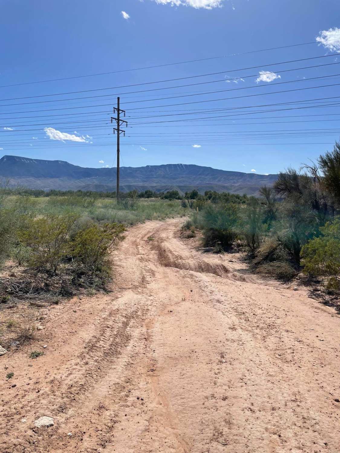
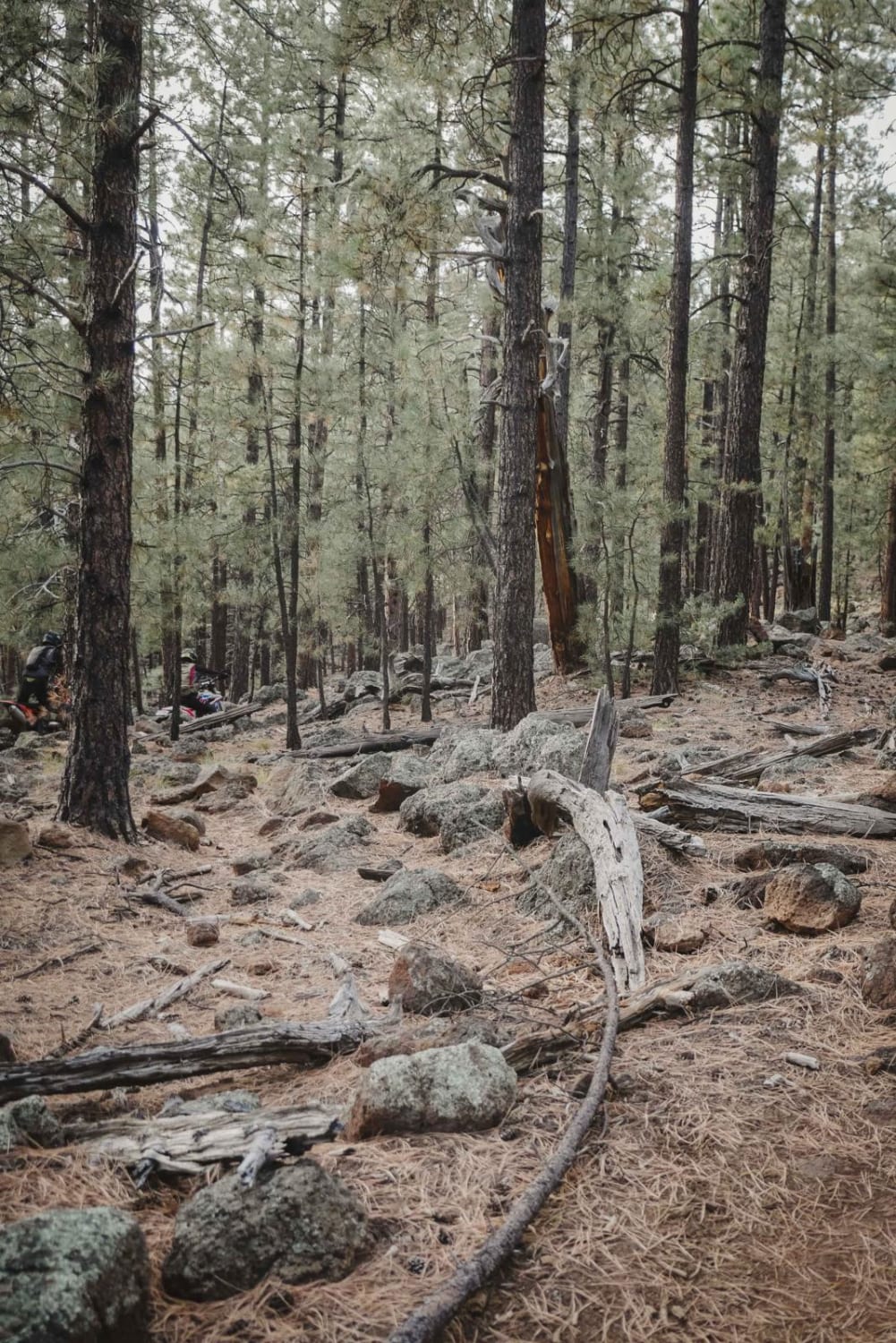
This short 1.2-mile trail follows a natural gas line down several rolling hills and washes. The trail starts off with a small uneven rut and is fairly easy until the series of downhill sections. The first downhill section has a big washout on your left that's right next to the trail. After this first downhill section, there is a decent-sized erosion rut that will tilt your rig heavily to the right. The next hill descent is very rocky with loose rocks everywhere and erosion ruts running along the road. Several sharp rocks are sticking out on this hill, so keep your eyes open. The trail mellows for a short while before another eroded downhill section starts. This hill has a huge erosion rut on one side and a smaller one on the other. The hill is also littered with loose rocks along the rutted road. You have two options. You can straddle the huge rut all the way down or hug the left side of the road. If you choose to straddle the big rut, use caution because the trail is sloping heavily towards the rut on your right side. This rut could definitely cause you problems if you slide into it. If you choose to hug the left side of the road, you must ride the smaller rut with loose rocks all the way down the hill while making sure you don't get too close on your right to the bigger rut. After this rutted hill, the trail opens up and travels toward Sycamore Canyon Road. You take a hard right past a line of green fence posts and you are back on Sycamore Canyon Road. These three downhill sections of this trail are definitely technical. High-clearance 4x4s with longer wheelbases need to pick good lines to avoid bumps and bruises on their rigs. It is recommended to air down on this short but technical trail. You may also run this trail in reverse if you prefer climbing obstacles instead of crawling down them.
Photos of Straight Line Down
Difficulty
This is a rutted dirt road with very uneven areas covered with large loose rocks and ledges with steep grades.
Status Reports
Popular Trails

The Blocked Wash

Princess 4x4 Telephone Line Trail

Atkins Cutoff
The onX Offroad Difference
onX Offroad combines trail photos, descriptions, difficulty ratings, width restrictions, seasonality, and more in a user-friendly interface. Available on all devices, with offline access and full compatibility with CarPlay and Android Auto. Discover what you’re missing today!


