Sullivan Draw Road South - BLM 1040
Total Miles
6.9
Technical Rating
Best Time
Spring, Fall, Winter
Trail Type
Full-Width Road
Accessible By
Trail Overview
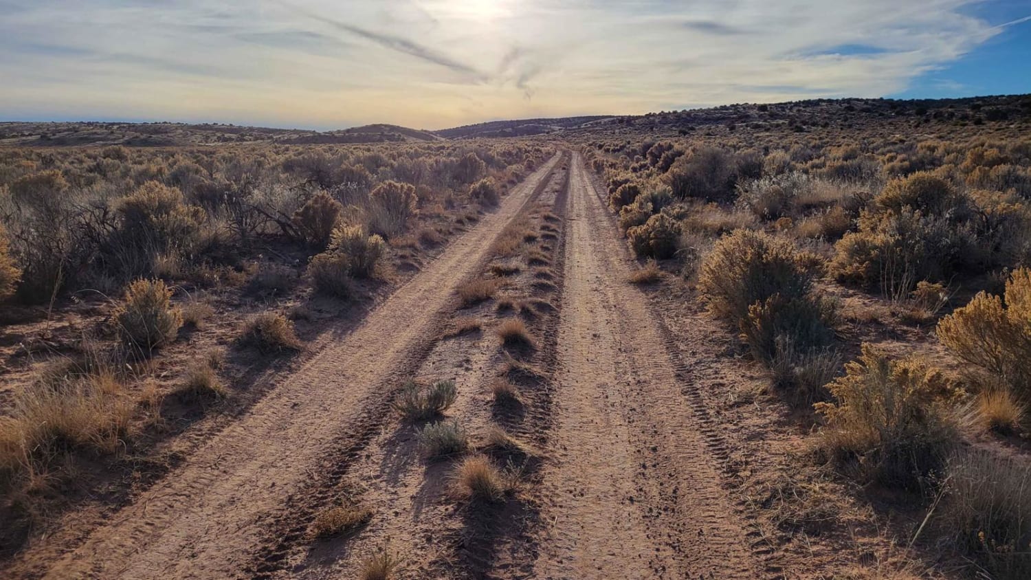
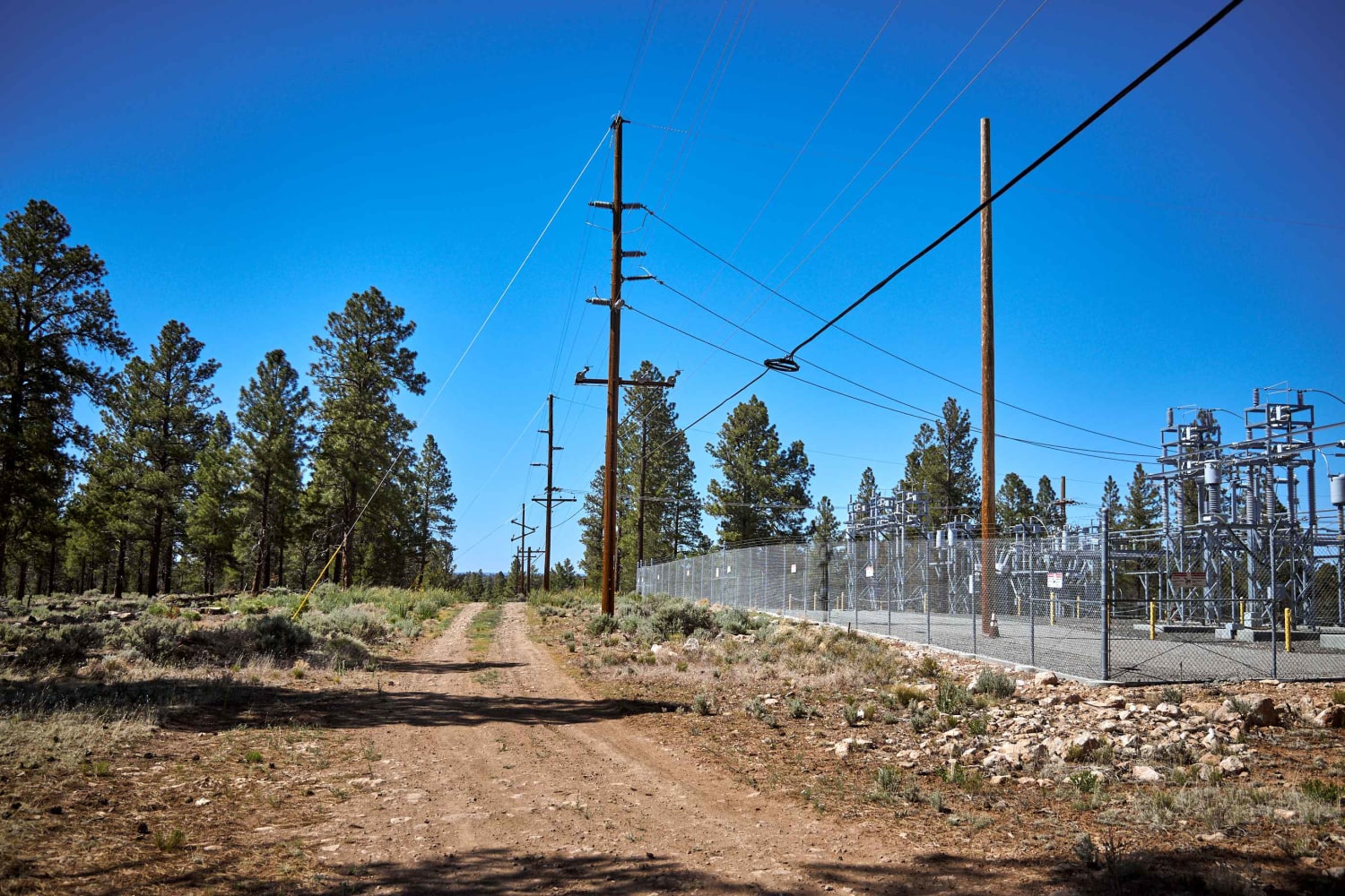
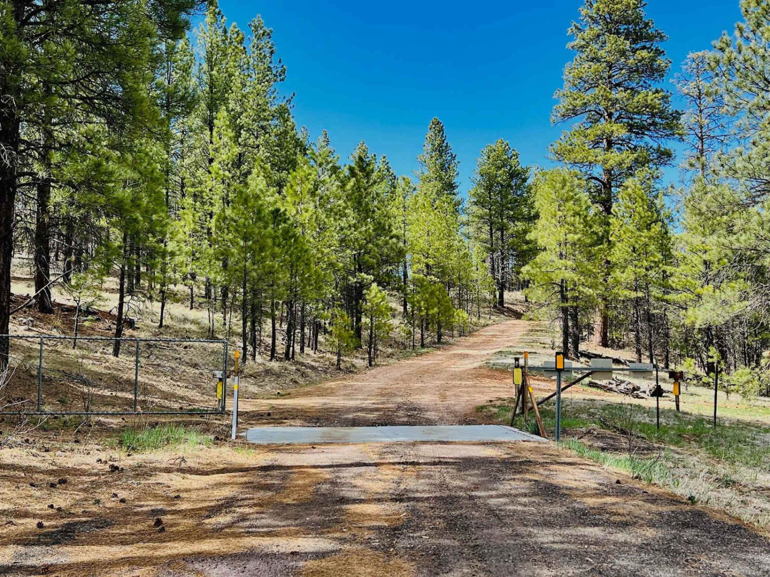
This is the southern half of Sullivan Draw Road (BLM 1040). It is a main road that connects to several other trails in the area. The trail is an established two-track that is wide enough for one vehicle. You will encounter a handful of rutted spots throughout, as well as some silt bed sections that may hinder visibility if traveling in a group. Aside from that it is a scenic, easy-going route that takes you through the high-desert landscape. You'll pass Sullivan Reservoir and Engelstead Tank (which had no water at the time of mapping), likely there for livestock in the area. The Arizona Strip is incredibly remote with no service and hardly any visitors. Summer months will reach triple-digit temperatures and freezing temperatures in the winter months. Be prepared when venturing out here.
Photos of Sullivan Draw Road South - BLM 1040
Difficulty
The trail is an established two-track that is wide enough for one vehicle. You will encounter a handful of rutted spots throughout, as well as some silt bed sections that may hinder visibility if traveling in a group. Aside from that it is a scenic, easy-going route that takes you through the high-desert landscape.
Status Reports
Popular Trails
Blue Tree Road
Joe Tank Road (FR136)
FR 211G-Camping
The onX Offroad Difference
onX Offroad combines trail photos, descriptions, difficulty ratings, width restrictions, seasonality, and more in a user-friendly interface. Available on all devices, with offline access and full compatibility with CarPlay and Android Auto. Discover what you’re missing today!

