Tanks Scenic Bypass
Total Miles
4.4
Technical Rating
Best Time
Spring, Summer, Fall
Trail Type
Full-Width Road
Accessible By
Trail Overview
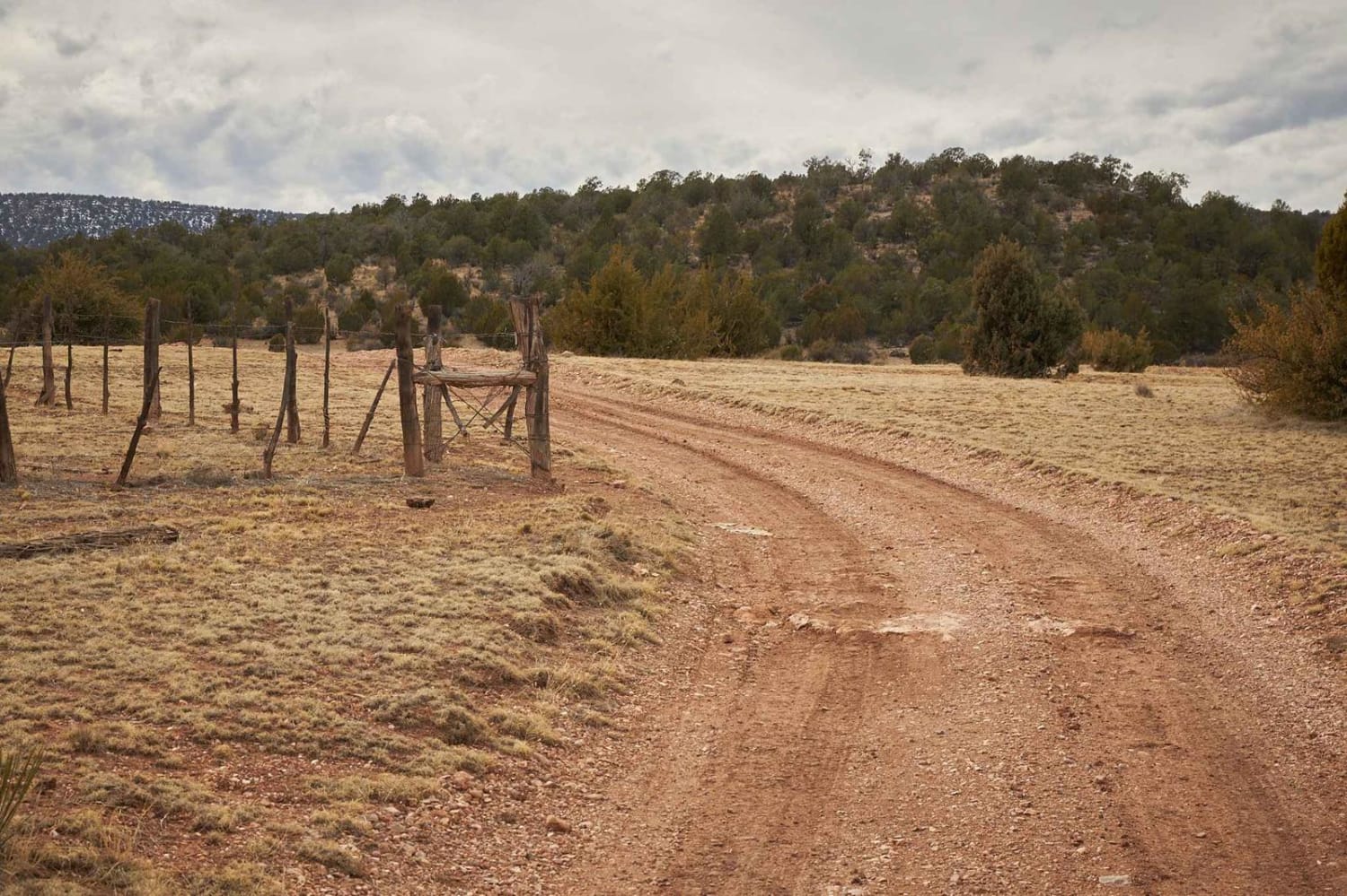
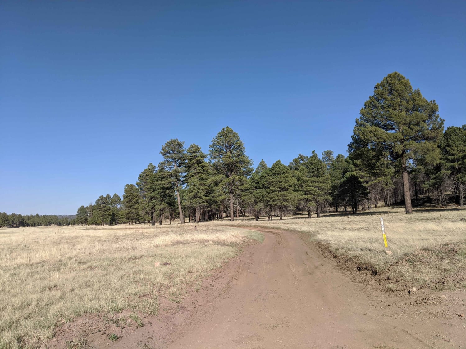
Tanks Scenic Bypass is a dirt trail that passes no less than 4 tanks on its way through some of the hills of the Prescott National Forest. On this road, you'll find no obstructions over 12 inches though some of the erosion and mud ruts may prove challenging after a moisture event. Cattle are present, as well as sneaky rocks, so some caution is urged. There is no cell service in the area, so offline maps are a must.
Photos of Tanks Scenic Bypass
Difficulty
There are no obstacles on this trail, though some mud ruts and erosion may present challenges during the rainy season.
Status Reports
Tanks Scenic Bypass can be accessed by the following ride types:
- High-Clearance 4x4
- SUV
- SxS (60")
- ATV (50")
- Dirt Bike
Tanks Scenic Bypass Map
Popular Trails
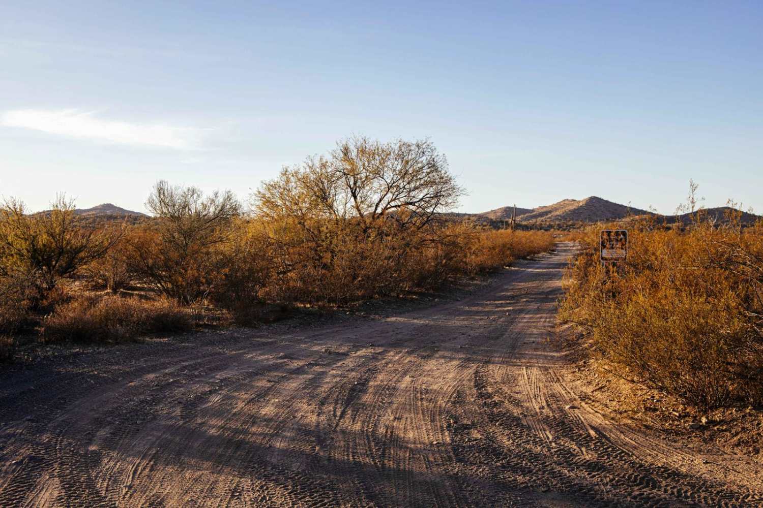
Little Horn Peak Road
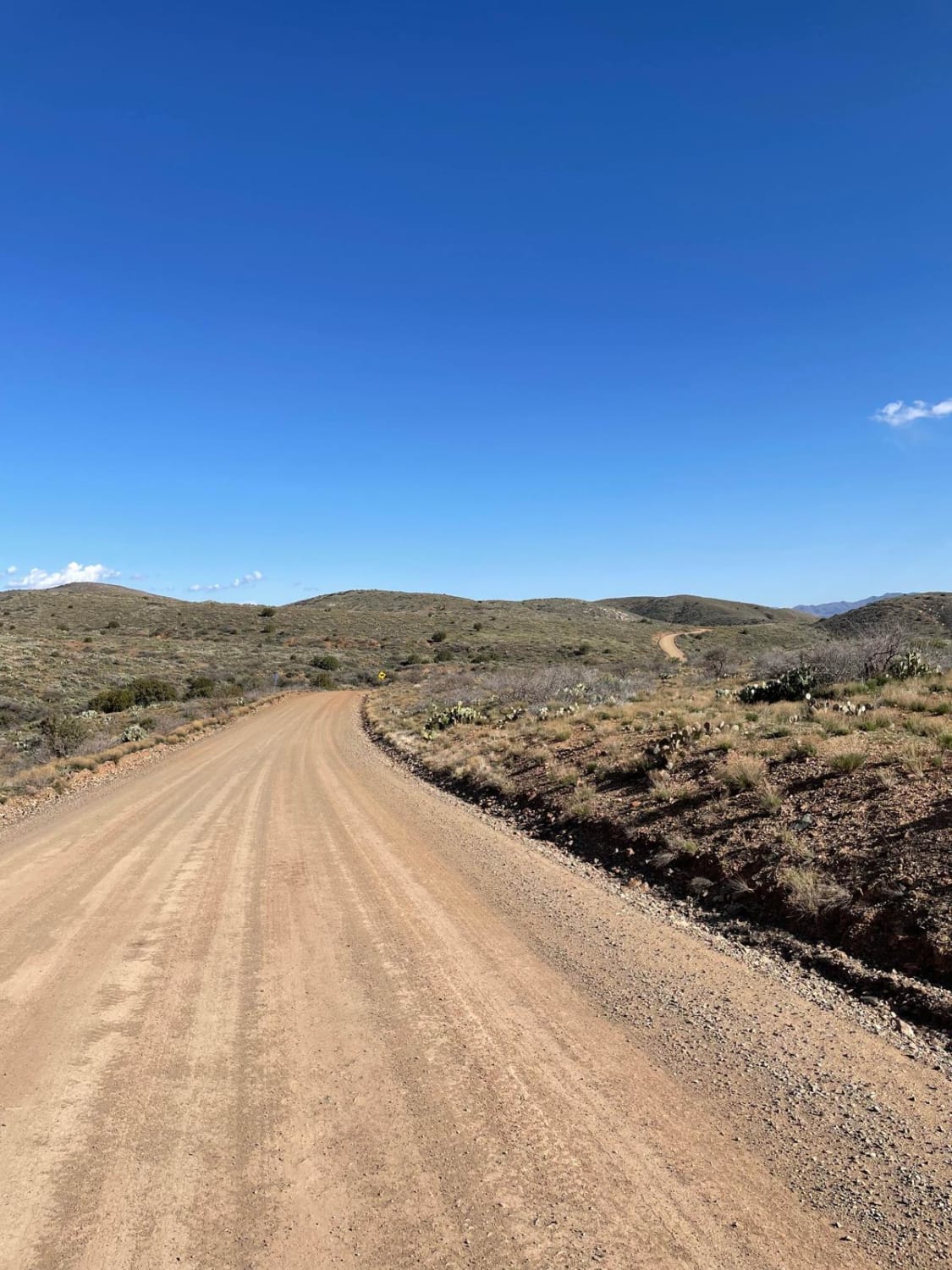
Bloody Basin Road West
The onX Offroad Difference
onX Offroad combines trail photos, descriptions, difficulty ratings, width restrictions, seasonality, and more in a user-friendly interface. Available on all devices, with offline access and full compatibility with CarPlay and Android Auto. Discover what you’re missing today!

