Tarantula
Total Miles
4.9
Technical Rating
Best Time
Spring, Summer, Fall
Trail Type
Full-Width Road
Accessible By
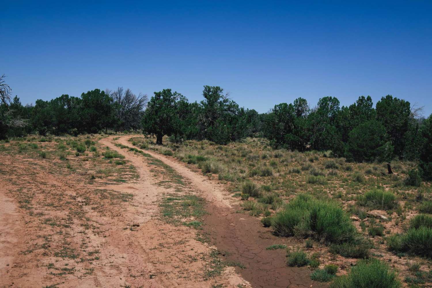
Trail Overview
The Tarantula Trail is named for the cattle and wildlife water collection tank that it travels by. This trail cuts from the checkerboarded section of Northern Arizona into the Kaibab National Forest. Please remember to adhere to the signage on the gates and close them behind you as this area is an active cattle grazing ground. There are numerous spots of erosion and water damage along this trail, resulting in deep mud ruts that might put your vehicle off-camber, and that have steep sections. Due to the water damage, parts of this trail may become rocky. This trail might also be muddy and house puddles or bogs that could cause a vehicle to get stuck. There is no cell service along this trail, and other than the mud, there are no major obstacles. Offline maps are recommended for the area, especially if traveling up into the national forest, as this is one of the more remote areas of the national forest and is rarely traveled. Along this trail, you might see elk, antelope, cattle, coyotes, and other species of wildlife.
Photos of Tarantula

Difficulty
This is an unmaintained trail with rocky sections, water damage, and mud ruts. These features may result in mud bogs or puddles. Caution is urged.
Status Reports

Popular Trails
Palomas Trail - 083
FS 538B Buckner Ridge Trail
Stockyard Junction

9093b Wash Bypass
The onX Offroad Difference
onX Offroad combines trail photos, descriptions, difficulty ratings, width restrictions, seasonality, and more in a user-friendly interface. Available on all devices, with offline access and full compatibility with CarPlay and Android Auto. Discover what you’re missing today!