Texas Gulch
Total Miles
9.1
Technical Rating
Best Time
Spring, Fall, Winter
Trail Type
Full-Width Road
Accessible By
Trail Overview
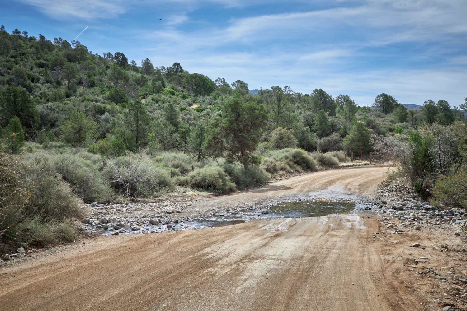
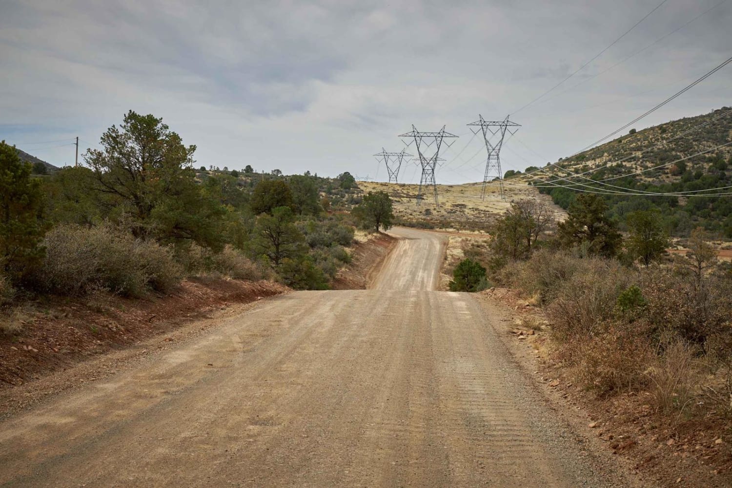
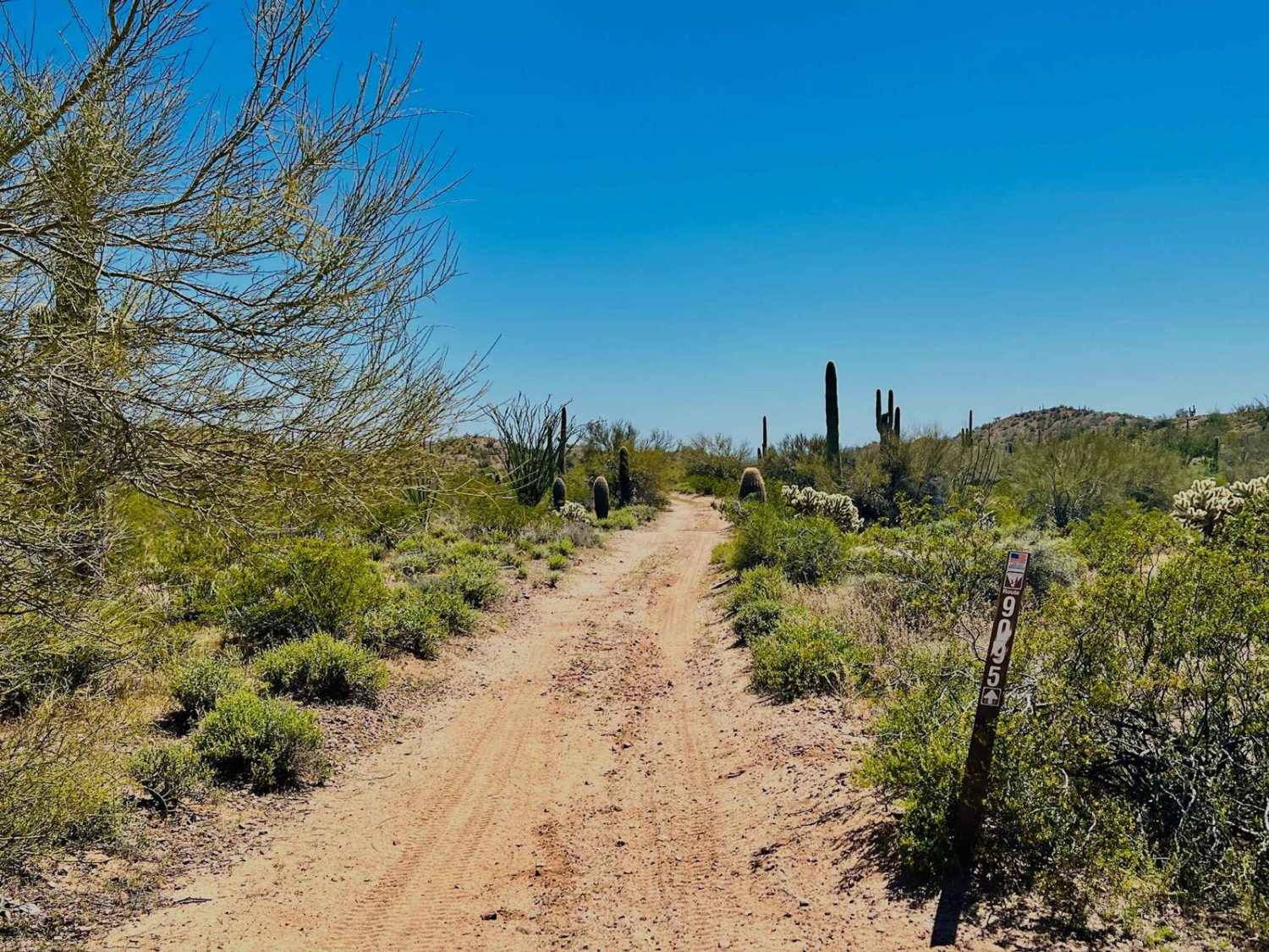
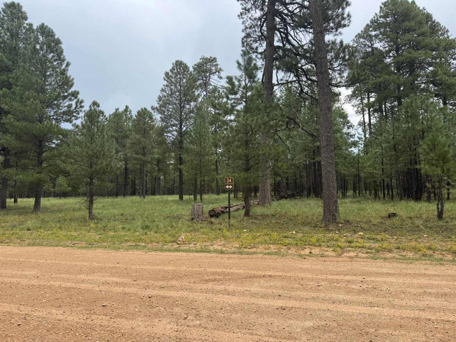
Texas Gulch starts as a wide, dirt road, gently rolling through the large power line towers. Quickly though, it becomes a rugged, single-lane two-track with erosion and washouts peppering its path. Be thankful for the 2 bars of LTE on this trail, because one wrong move may have you calling for help, as some of the ruts are quite deep. Hill climbs with loose rocks, off-camber erosion ruts, and sneaky rocks are some of what you'll encounter on this trail. Evidence of coyotes and deer, as well as cattle grazing, are the animals along the trail. The views are quite nice, with vistas of Prescott Valley below. There are multiple campsites along the trail, with wide, level spots available.
Photos of Texas Gulch
Difficulty
This trail is an uneven, rutted dirt trail with loose rocks, sand, erosion, and washes. Potential water crossings up to a foot deep, mud holes, and obstacles up to 18", including ledges and short, steep grades. Roads are typically one vehicle wide with places to pass.
Status Reports
Texas Gulch can be accessed by the following ride types:
- High-Clearance 4x4
- SUV
- SxS (60")
- ATV (50")
- Dirt Bike
Texas Gulch Map
Popular Trails
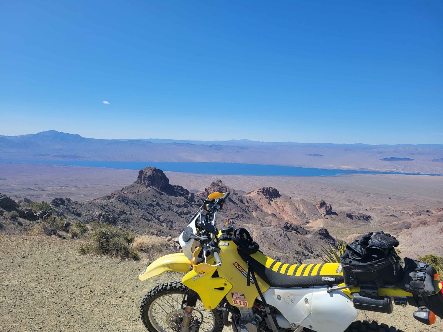
Lake Mead View Trail

Red Lake to Pipeline
The onX Offroad Difference
onX Offroad combines trail photos, descriptions, difficulty ratings, width restrictions, seasonality, and more in a user-friendly interface. Available on all devices, with offline access and full compatibility with CarPlay and Android Auto. Discover what you’re missing today!
