Total Wreck Mine
Total Miles
14.9
Technical Rating
Best Time
Winter, Fall, Spring, Summer
Trail Type
Full-Width Road
Accessible By
Trail Overview
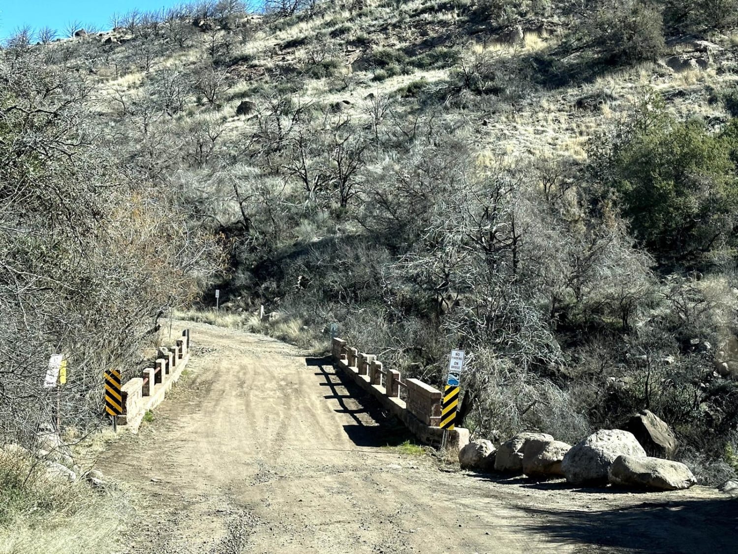
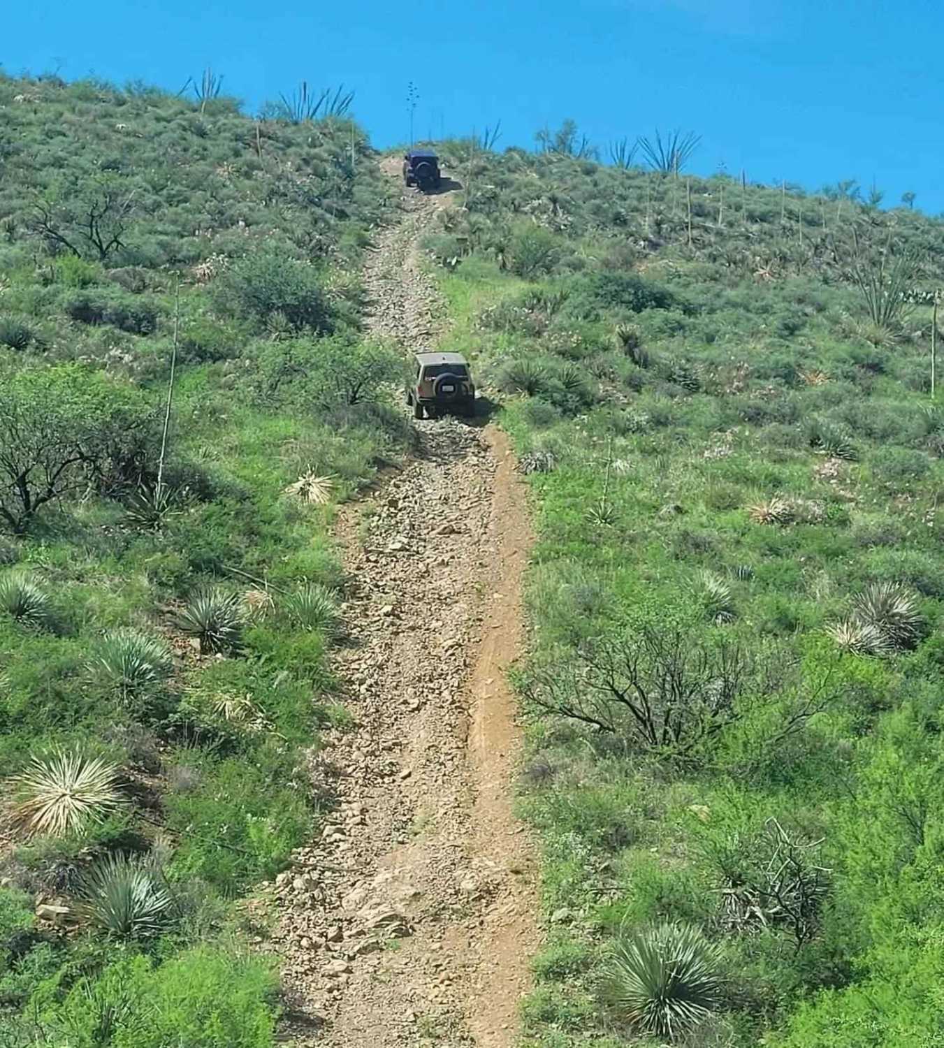
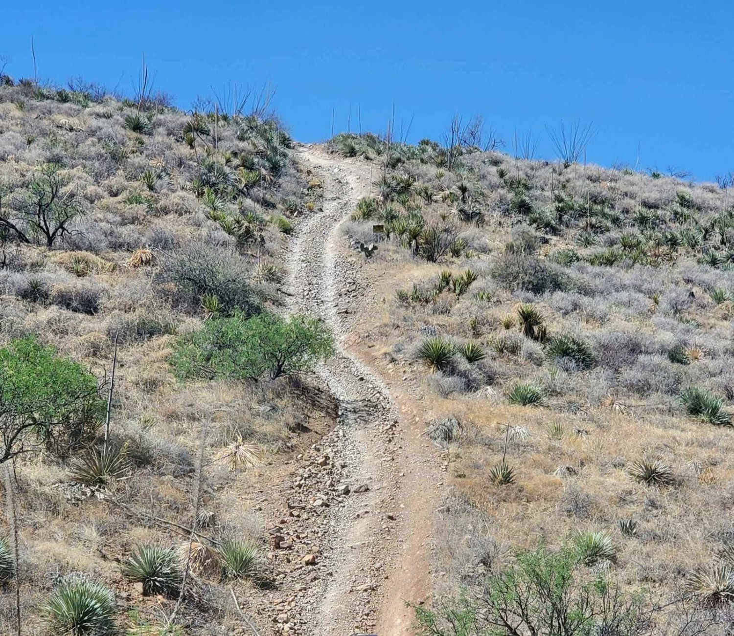
The Total Wreck Mine Trail is perfect for off-road enthusiasts seeking an exhilarating adventure. The trail features challenging terrain with rocky, rutted, off-camber areas, and steep inclines that will test your skills and your vehicle's capabilities. You can start the trail from the Power Line Trail to the north or begin at East Yucca Farm Road or East Empire Ranch Road, which is typically considered riding backward. Be sure to check the weather conditions before heading out, as rain or snow could affect the road. Traveling on back roads can be risky, so always be mindful of weather and road conditions. Carry plenty of water, never travel alone, and inform someone of your plans. State Trust Permits are required for this area. Since cell service is unreliable, it's a good idea to download your map before your trip. The time to complete the trail and its difficulty depend on various factors, including the type of vehicle used and the riders' capabilities.
Photos of Total Wreck Mine
Difficulty
This trail includes multiple wash crossings that may have water, depending on recent rainfall. It also features several steep and rocky hill climbs, where having at least a rear locker will be beneficial. It is highly recommended to have a spare tire, as well as being prepared to encounter several large to medium ruts.
History
The Total Wreck Mine has a rich historical significance in the mining industry. It was initially discovered in 1879 by a cowboy named John Dilden, who also is credited with naming the Empire Mountains, and his boss, Walter L. Vail, owner of the Empire Ranch and the namesake (along with his brother Edward) for the town of Vail. In 1883, with the mine in full swing, there were about 50 homes, four saloons, three hotels, a bank, and a brewery. Around 1884 or 1885, the mining operation lessened and eventually stopped. In 1890, with just a small population remaining, the post office closed, and most of the residents slowly moved away in search of work elsewhere in Arizona's thriving mining districts.
Status Reports
Total Wreck Mine can be accessed by the following ride types:
- High-Clearance 4x4
- SUV
- SxS (60")
- ATV (50")
- Dirt Bike
Total Wreck Mine Map
Popular Trails

Fossil Creek to Irving Trailhead

Alamo Springs

Windmill CrossPlay
The onX Offroad Difference
onX Offroad combines trail photos, descriptions, difficulty ratings, width restrictions, seasonality, and more in a user-friendly interface. Available on all devices, with offline access and full compatibility with CarPlay and Android Auto. Discover what you’re missing today!


