Warm Fire Resto
Total Miles
3.2
Technical Rating
Best Time
Spring, Summer, Fall
Trail Type
Full-Width Road
Accessible By
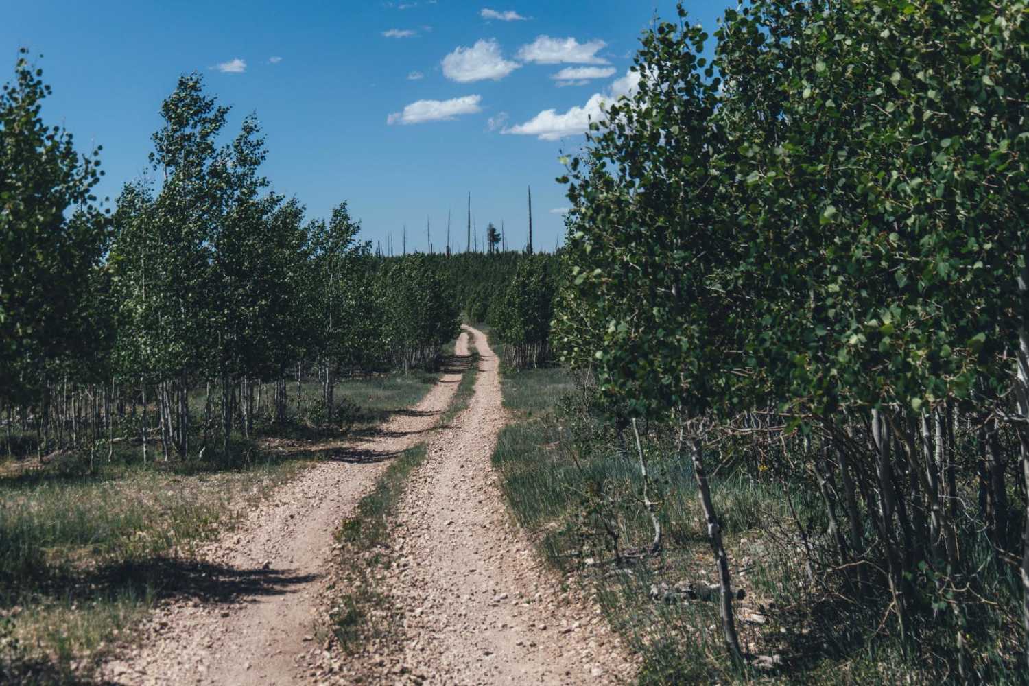
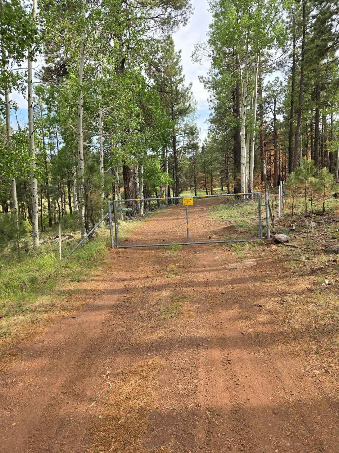
Trail Overview
The Warm Fire Resto Trail is an easy gravel road that's wide with plenty of places to pass. This trail is marked by a placard at the beginning detailing the damage done to the area by the Warm Fire in 2006, where roughly 59,000 acres burned. This trail was put in to facilitate the regrowth and rehabilitation of that area. The placard has some great information on it, so feel free to stop and check it out. The trail itself is nice, winding and rolling through new-growth ponderosa pine seedlings and aspen groves. There is some erosion on this trail, no doubt shaped by the monsoon rains that come to this area every summer. Other than that, there are no obstacles on this trail, but also no cell service, so offline maps are recommended. The trail terminates at an off-level campsite and turnaround surrounded by aspen trees.
Photos of Warm Fire Resto

Difficulty
This is an unmaintained trail that is wide enough to pass others and has no obstacles. There is some light erosion that may prove challenging if visited during the monsoon season or after a rain event.
Status Reports

Popular Trails
Pole Knoll Summit
Telegraph Pass

Donna's Overlook
Coral Canyons Rocky Revenge
The onX Offroad Difference
onX Offroad combines trail photos, descriptions, difficulty ratings, width restrictions, seasonality, and more in a user-friendly interface. Available on all devices, with offline access and full compatibility with CarPlay and Android Auto. Discover what you’re missing today!