West Checker
Total Miles
5.6
Technical Rating
Best Time
Spring, Summer, Fall
Trail Type
Full-Width Road
Accessible By
Trail Overview
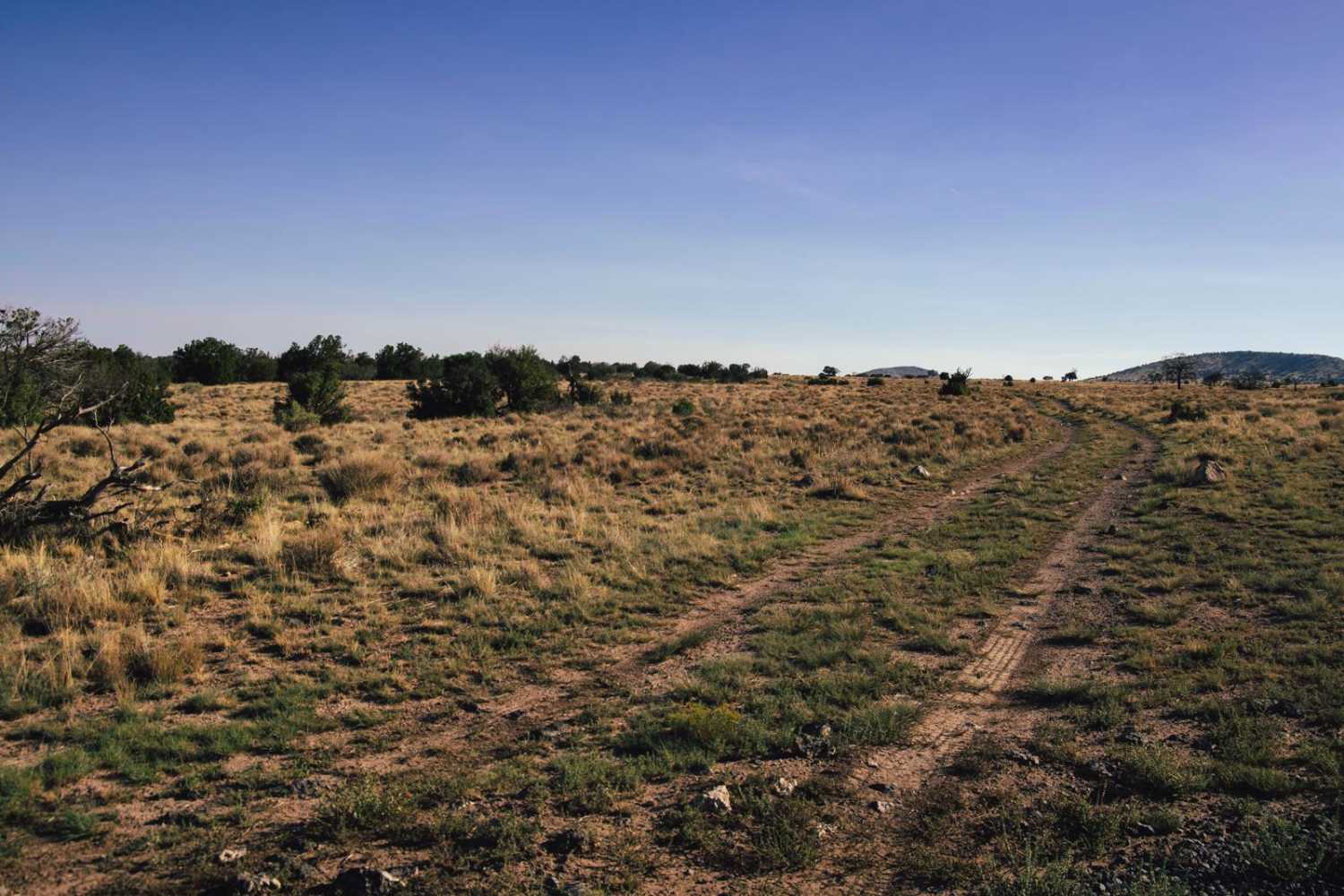
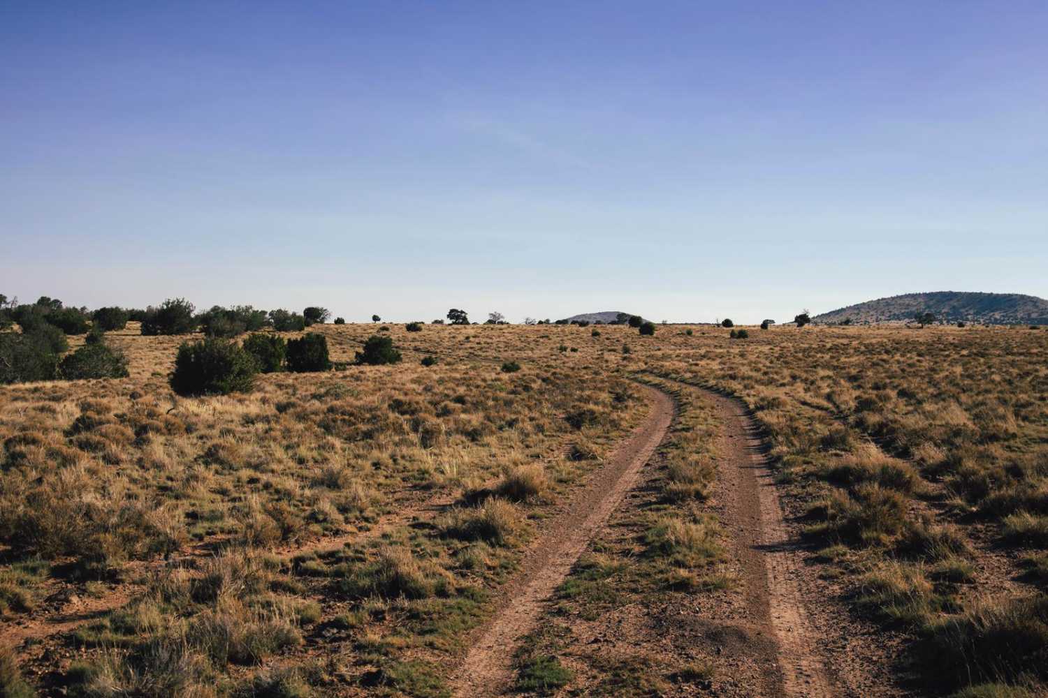
West Checker is a two-track dirt and rock trail that has no obstacles on it. This trail is primarily an access trail used predominantly by ranchers and hunters to access the checkerboard of Arizona State Land Trust land and what was once the larger Babbitt Ranch. Along this trail, you might see Antelope, Deer, Elk, Prairie Dog towns, Coyotes, and various species of birdlife. There is no cell service along this trail so you'll want to have offline maps downloaded, as this area is remote and at times rugged. There are numerous other trails in the area that lead North, to the National Forest, or East, toward the windmills and beyond.
Photos of West Checker
Difficulty
This is an unmaintained trail that at times could become muddy and rutted. This area is prone to large monsoon rain events that shape this environment. There are plenty of places to pass or turn around, but as always, if you must pull off the established path, please remember to TREAD LIGHTLY as this area is fragile and prone to damage.
Status Reports
West Checker can be accessed by the following ride types:
- High-Clearance 4x4
- SUV
- SxS (60")
- ATV (50")
- Dirt Bike
West Checker Map
Popular Trails

Boulders Trail

Black Range Mine

Oak Tree Canyon
The onX Offroad Difference
onX Offroad combines trail photos, descriptions, difficulty ratings, width restrictions, seasonality, and more in a user-friendly interface. Available on all devices, with offline access and full compatibility with CarPlay and Android Auto. Discover what you’re missing today!