West Mesa Cut-Across
Total Miles
7.4
Technical Rating
Best Time
Spring, Summer, Fall, Winter
Trail Type
High-Clearance 4x4 Trail
Accessible By
Trail Overview
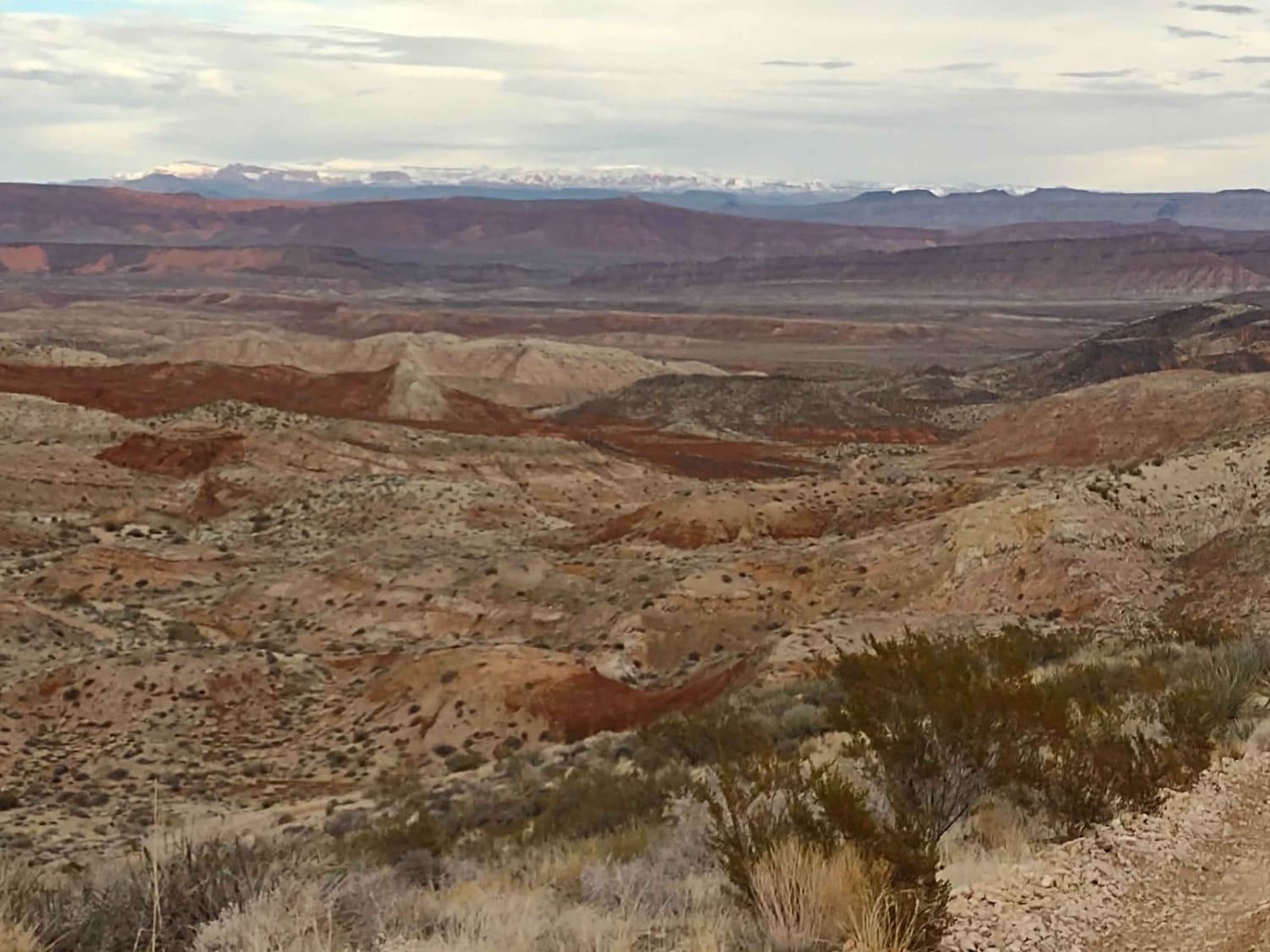
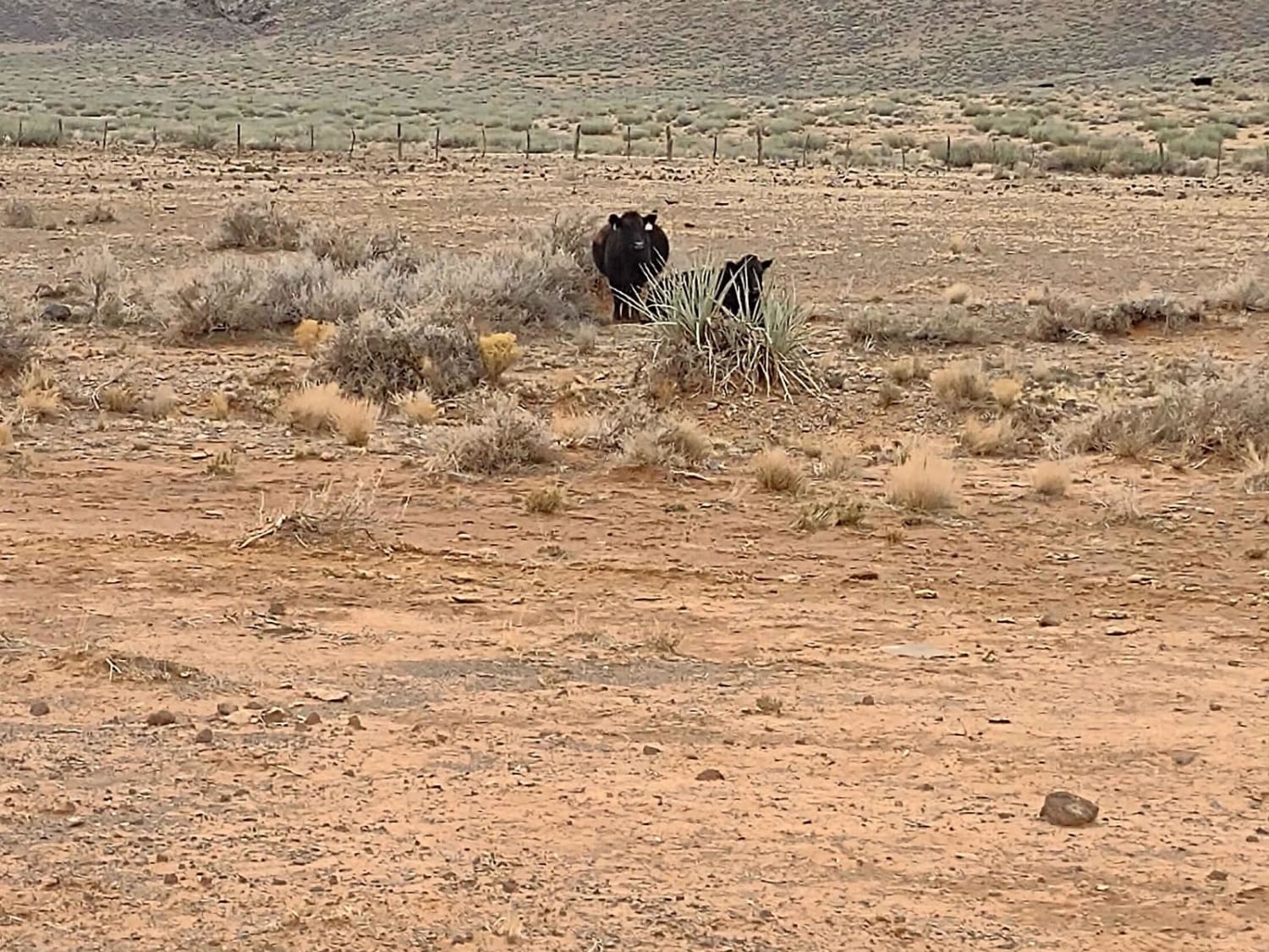
The West Mesa Cut-Across trail is just over 7 miles, and it connects the Sunshine Trail to the Segmiller Mountain-Sunshine Interconnect trail. It begins on the east side at some water troughs, where we found cattle, and it winds around the gathering corrals, and then you go up onto the West Mesa to a height of 4890 feet. You go by the amazing Swiss Canyon, and you travel in the shadow of Seegmiller Mountain. There are some narrow areas of the trail along the edge of the mountains, and some tight turns, especially if you're in a 4-seater. The views and scenery are spectacular. From the highest points, you can see the snow-covered Harmony Mountains in the distance, and Sand Hollow in the valley between. They do graze cattle in this area, so be sure to watch out for them. Leave all gates as you find them. Our rig has a winch, so the extra recovery equipment we carry includes a snatch block, a tow rope, and a saw. You're not likely to need those on this trail, but in other places in this area you might. Be sure, in the summertime, to watch for rattlesnakes. If you're the adventurous type, you can park and hike up onto Seegmiller or down into Swiss Canyon. Starting Feb 2023, Utah is going to begin enforcement of their new law, which requires an online education course for all off-roaders. The free course is available online now. Google "Utah OHV Education Course," and the free test will pop up. It's an easy test that will only take 15-30 minutes, and it's required for all off-roaders, Jeeps, SXSs, dirt bikes, and ATVs. Kids under the age of 18 will have to take the Youth Education Test at the same site. After completing the test, print out the certificate to carry with you which shows you completed the course. We have taken it, and it's really no big deal. Good reminders about trail etiquette and trail preservation.
Photos of West Mesa Cut-Across
Difficulty
This is an easy trail, except for the tight turns and narrowness along the edges of canyons and deep draws. If it's rained recently, it will be muddy and slick. The trail is rocky in places.
Status Reports
Popular Trails
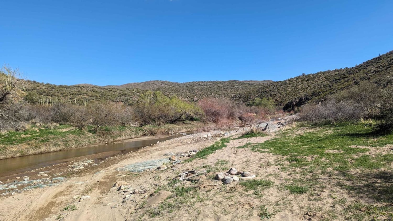
Black Canyon Creek

Hieroglyphic Connector
Little Oak Spring Road BLM 1029
The onX Offroad Difference
onX Offroad combines trail photos, descriptions, difficulty ratings, width restrictions, seasonality, and more in a user-friendly interface. Available on all devices, with offline access and full compatibility with CarPlay and Android Auto. Discover what you’re missing today!
