FS 94451A
Total Miles
2.4
Technical Rating
Best Time
Spring, Summer, Fall, Winter
Trail Type
High-Clearance 4x4 Trail
Accessible By
Trail Overview
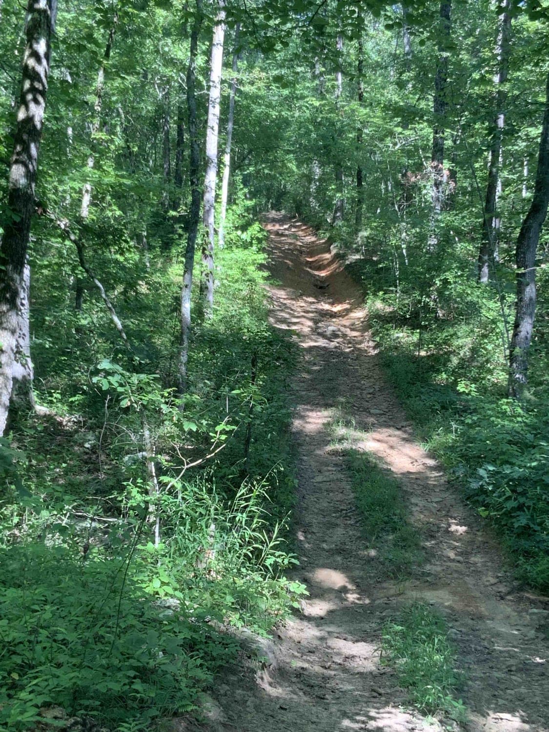
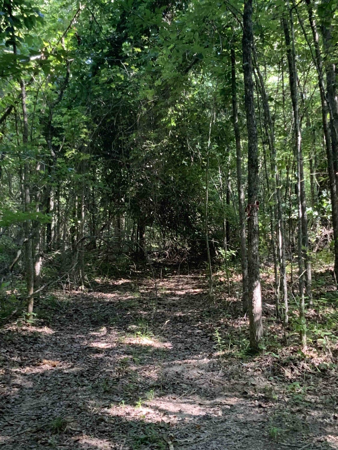
This is a loop off of 1541. Some downed trees make it more difficult, but there are tight alternate routes around these. There are also muddy areas and the road may be impassable after it rains. Besides that, it is a very fun route once you're past the downed trees. Also, expect some small but steep water crossings.
Photos of FS 94451A
Difficulty
The route has some very steep entry points into small water crossings that could be very difficult after it rains. There are several muddy areas even a while after the rain. There is a very large tree down on the north end that will be difficult to clear without a large crew. This area requires you to winch through the alternate route. Many overgrown trees and bushes on the north end may scratch paint.
Status Reports
Popular Trails
Walker Mountain
Petit Jean Road To Jack Creek
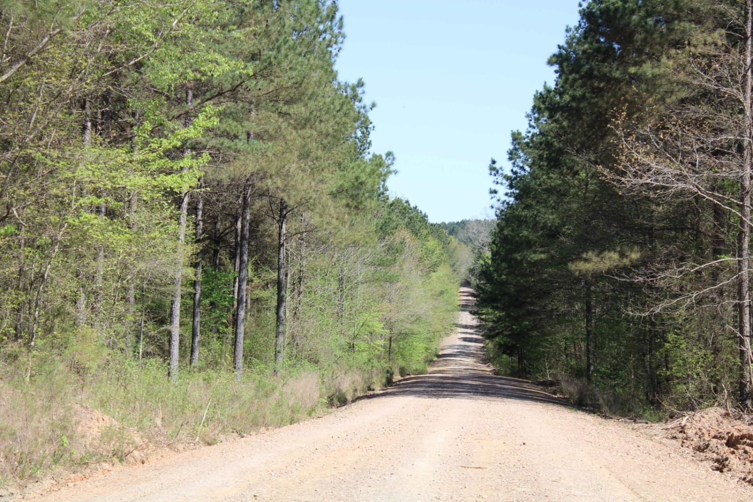
Howard County WMA 485RD Circle
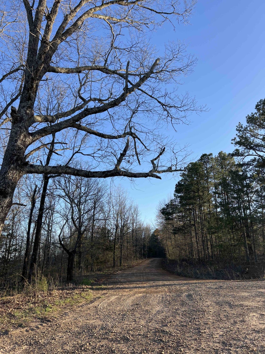
Big Bee Ridge
The onX Offroad Difference
onX Offroad combines trail photos, descriptions, difficulty ratings, width restrictions, seasonality, and more in a user-friendly interface. Available on all devices, with offline access and full compatibility with CarPlay and Android Auto. Discover what you’re missing today!
