Off-Road Trails in Arkansas

Discover off-road trails in Arkansas

Learn more about The Arkansas Overland Route - TrailHawk Loop - Section 15
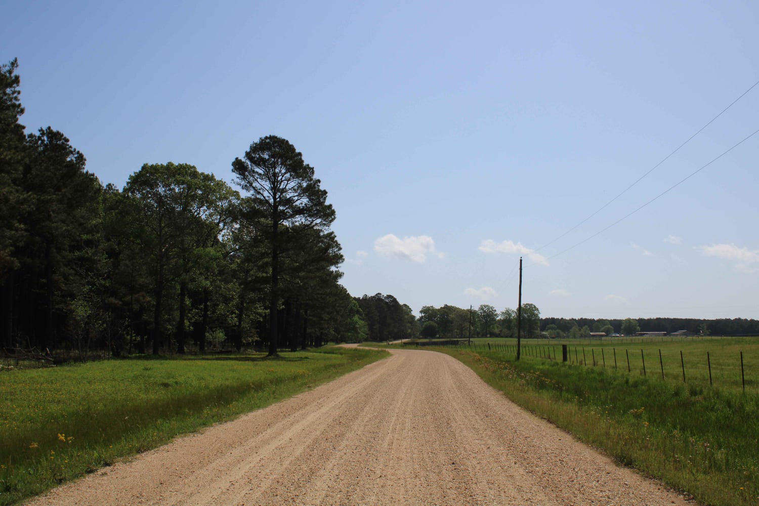
The Arkansas Overland Route - TrailHawk Loop - Section 15

The Arkansas Overland Route - TrailHawk Loop - Section 15

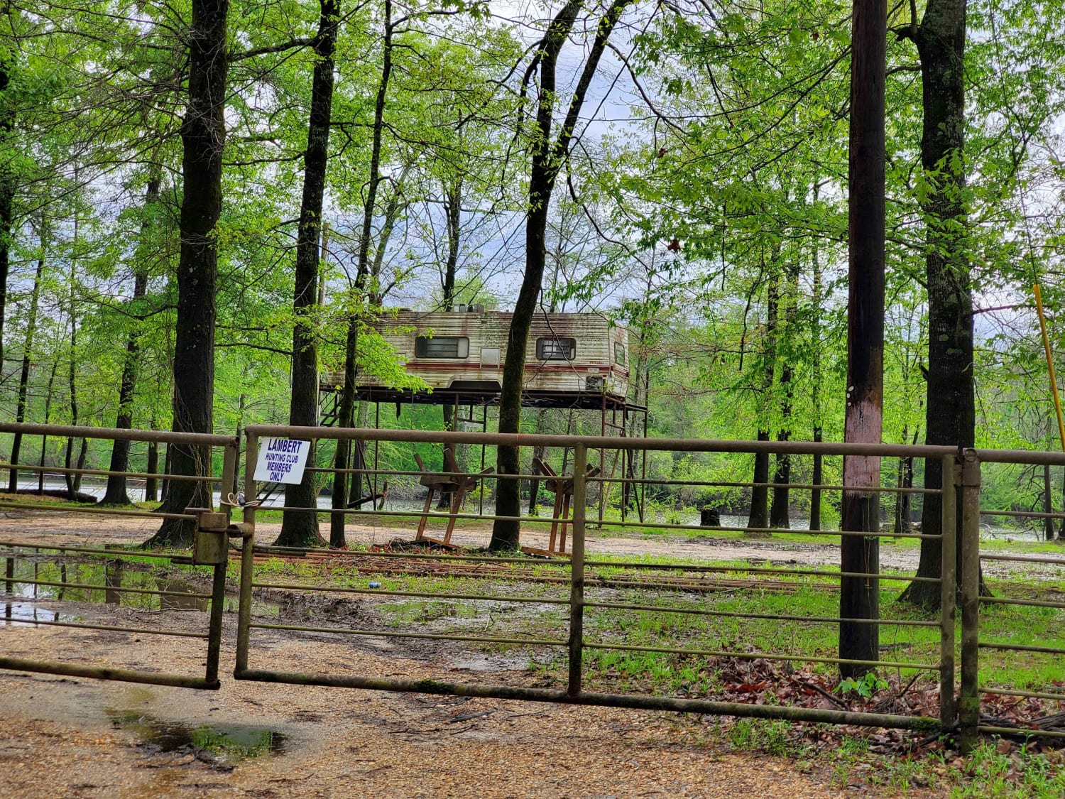
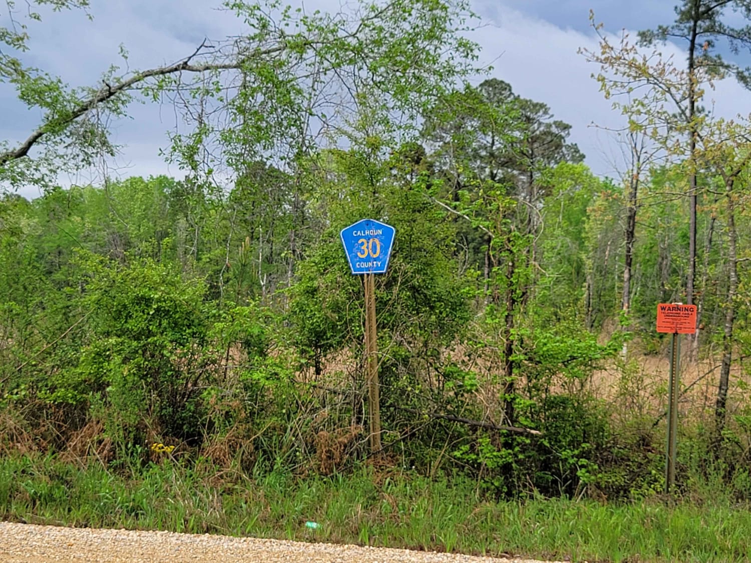
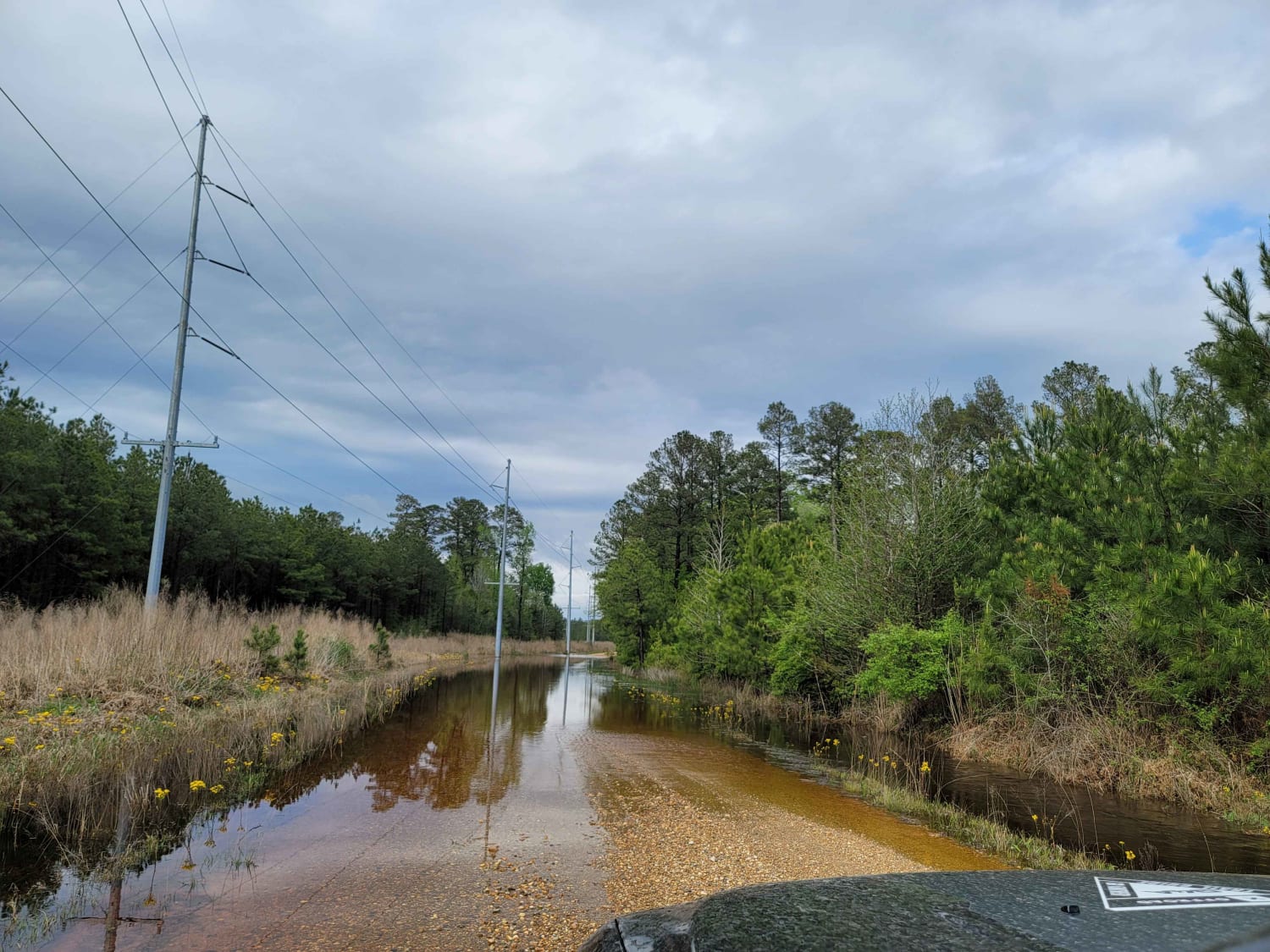
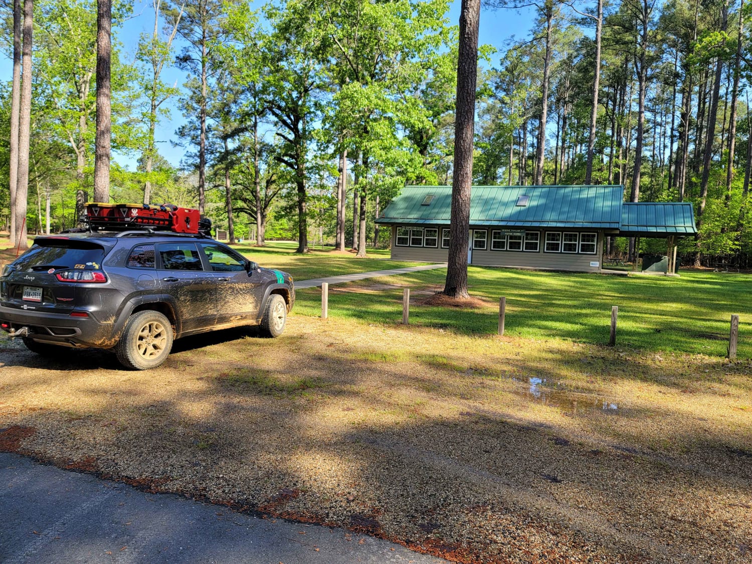
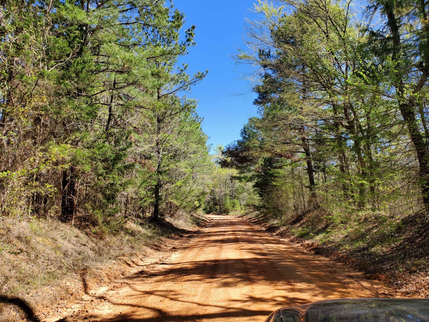
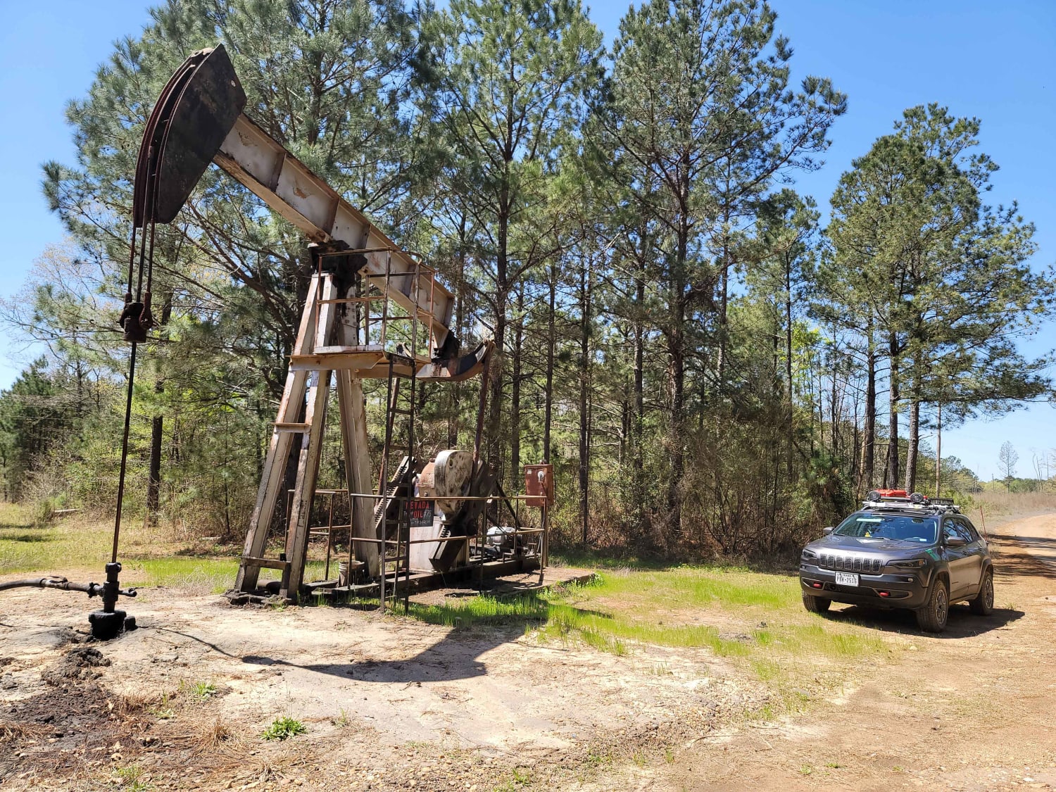
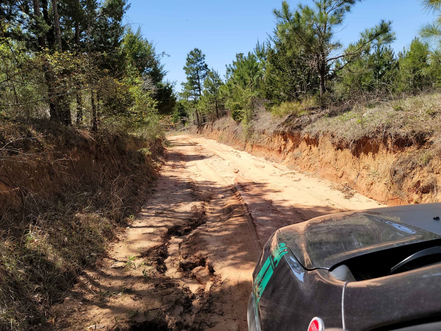
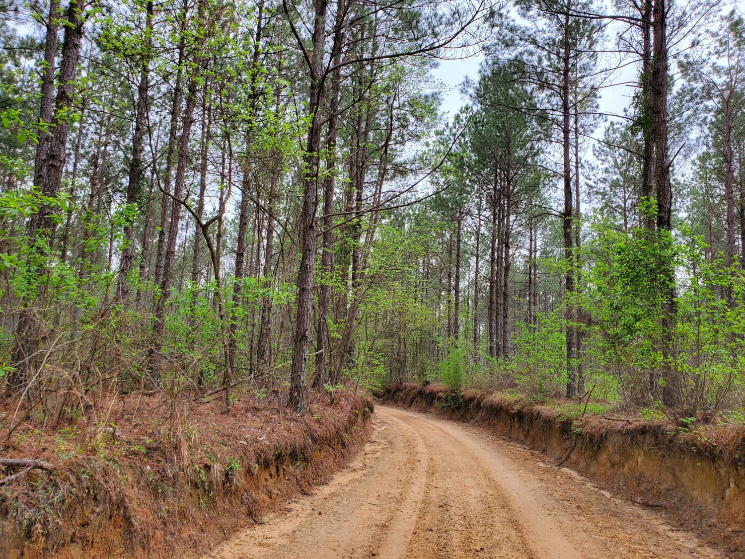
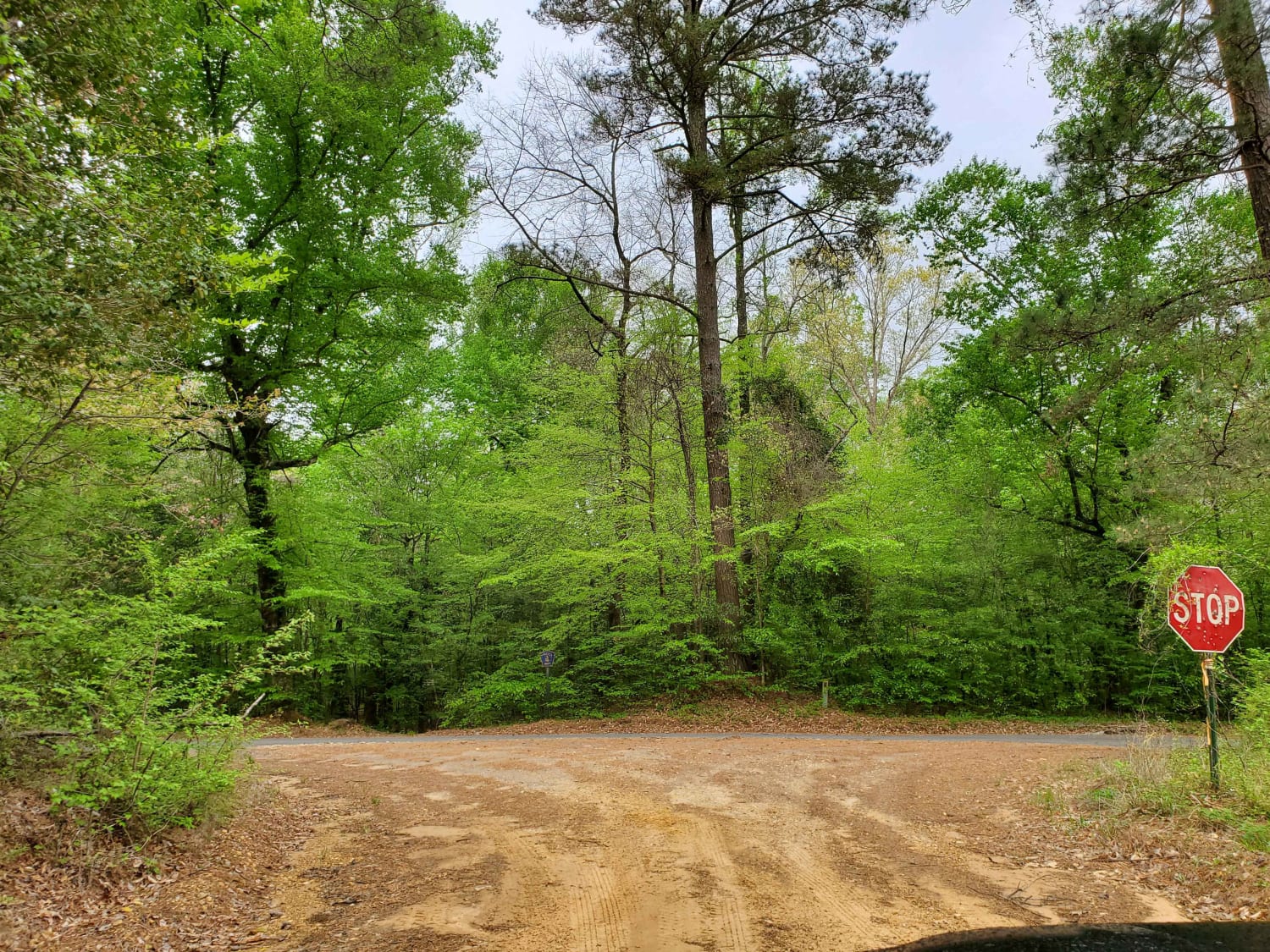
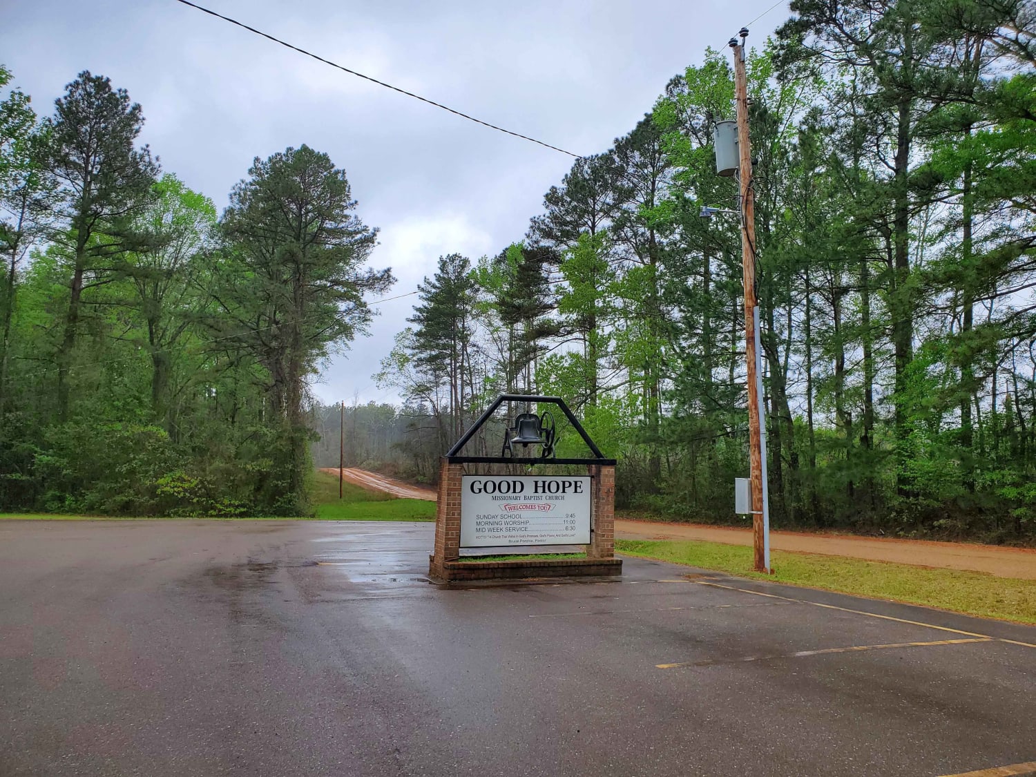
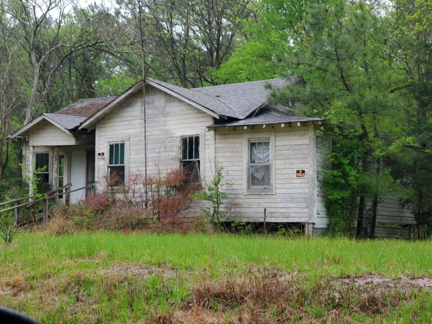
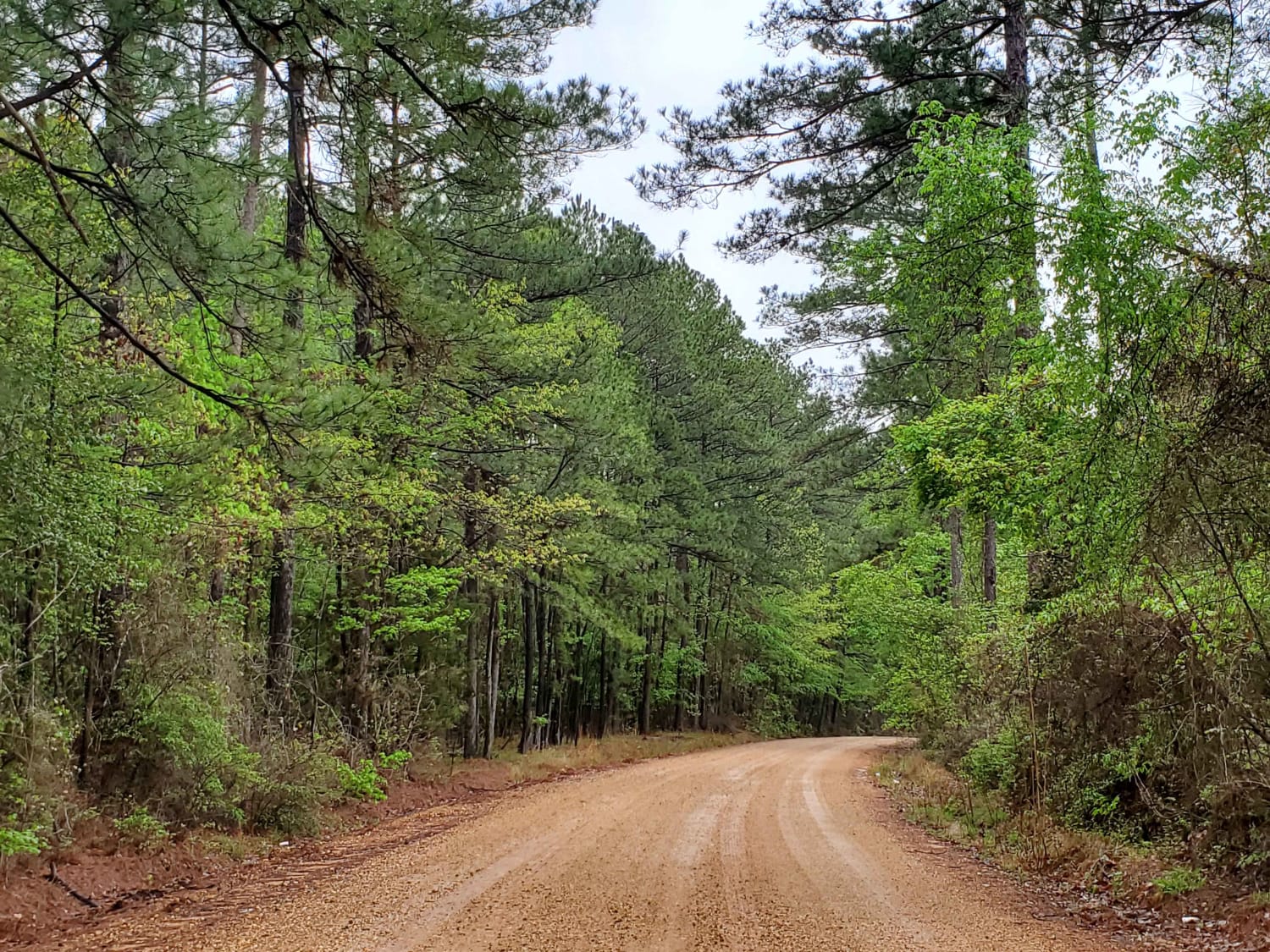
Gravel and dirt roads that can be muddy and slick with possible ruts when wet. This is Section 15 of the Arkansas Overland Route. This section makes up the Hawks' beak when looking at this…
Learn more about The Arkansas Overland Route - TrailHawk Loop - Section 15
Total Miles
11.0
Tech Rating
2 Easy
Best Time
Spring, Summer, Fall, Winter
Learn more about The Arkansas Overland Route - TrailHawk Loop - Section 16
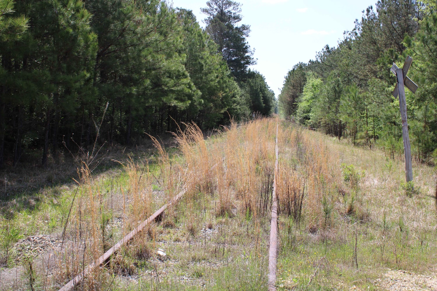
The Arkansas Overland Route - TrailHawk Loop - Section 16

The Arkansas Overland Route - TrailHawk Loop - Section 16

Gravel and pavement roads that go to Eagle Landing Lake and boat ramp. Portions of roads can be muddy and slick when wet. These roads are well maintained but can be a bit rough in…
Learn more about The Arkansas Overland Route - TrailHawk Loop - Section 16
Total Miles
7.2
Tech Rating
1 Easy
Best Time
Spring, Summer, Fall, Winter
Learn more about The Arkansas Overland Route - TrailHawk Loop - Section 17
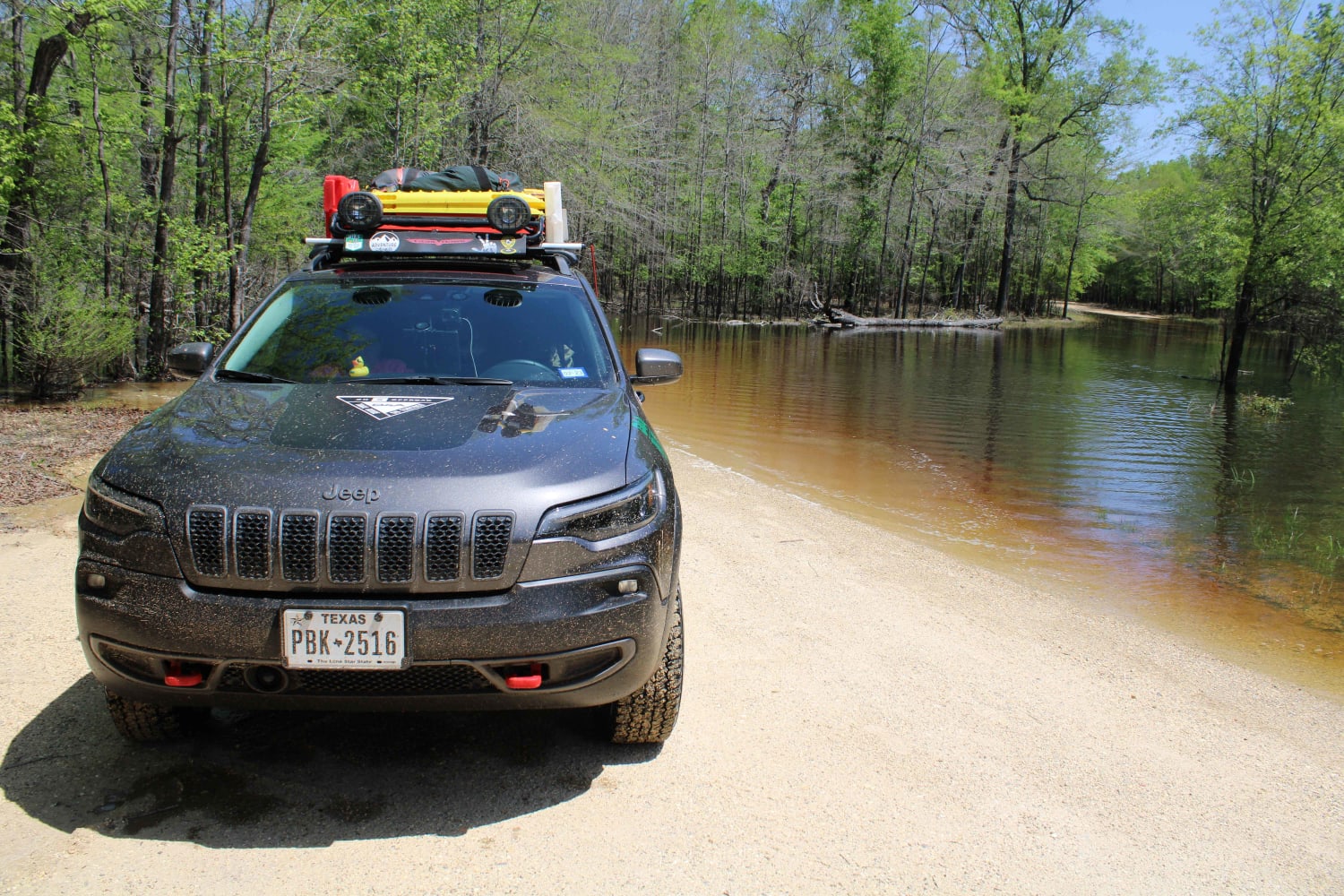
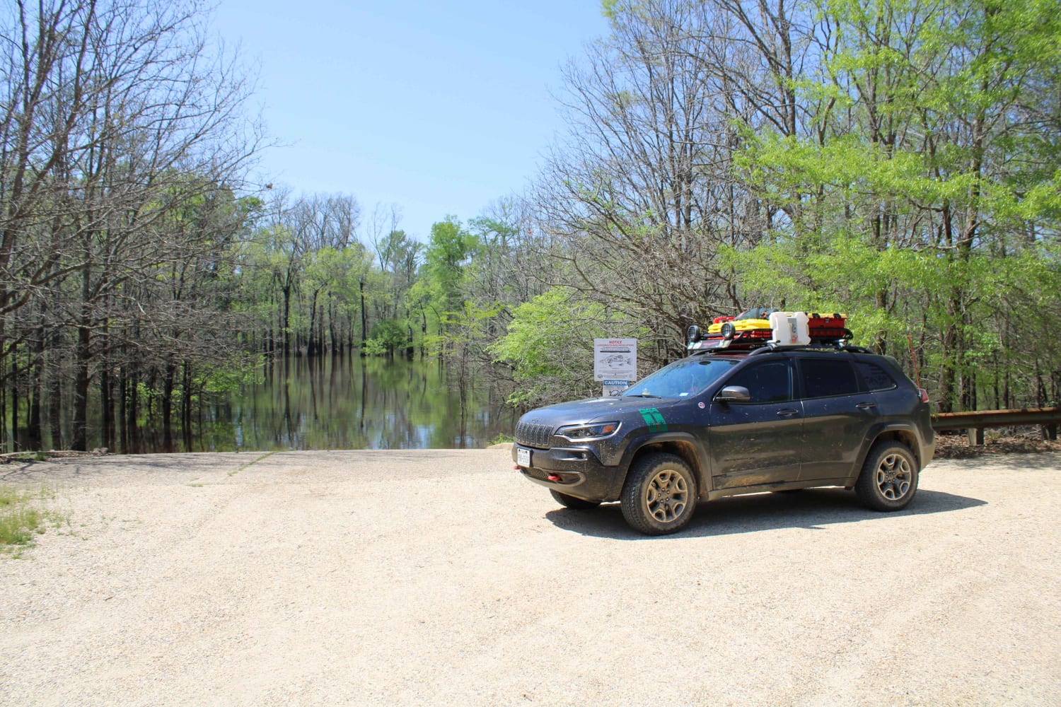
The Arkansas Overland Route - TrailHawk Loop - Section 17

The Arkansas Overland Route - TrailHawk Loop - Section 17

Gravel roads that can be muddy and slick when wet. Roads can become flooded and not passable during and after rains. This goes to a lake and camping area. There is a section known to…
Learn more about The Arkansas Overland Route - TrailHawk Loop - Section 17
Total Miles
4.6
Tech Rating
2 Easy
Best Time
Spring, Summer, Fall, Winter
Learn more about The Arkansas Overland Route - TrailHawk Loop - Section 18
The Arkansas Overland Route - TrailHawk Loop - Section 18

The Arkansas Overland Route - TrailHawk Loop - Section 18

Gravel and dirt roads that can be dusty when dry. Some pavement is in this section. These roads can be muddy and slick with possible ruts when wet. Some areas can be flooded. This section…
Learn more about The Arkansas Overland Route - TrailHawk Loop - Section 18
Total Miles
35.1
Tech Rating
1 Easy
Best Time
Spring, Summer, Fall, Winter
Learn more about The Arkansas Overland Route - TrailHawk Loop - Section 19
The Arkansas Overland Route - TrailHawk Loop - Section 19

The Arkansas Overland Route - TrailHawk Loop - Section 19

This is a mix of gravel and pavement. The gravel can be messy when wet. This goes to Crosset Harbor RV Park. There is camping, a boat ramp, and restrooms. This section ends at the…
Learn more about The Arkansas Overland Route - TrailHawk Loop - Section 19
Total Miles
14.3
Tech Rating
1 Easy
Best Time
Winter, Fall, Summer, Spring
Learn more about The Arkansas Overland Route - TrailHawk Loop - Section 20
The Arkansas Overland Route - TrailHawk Loop - Section 20

The Arkansas Overland Route - TrailHawk Loop - Section 20

These are gravel and dirt roads that can be muddy and have ruts when wet. This route goes to the Pine Island Boat Ramp and Recreation Area. Some areas of the road could flood, so…
Learn more about The Arkansas Overland Route - TrailHawk Loop - Section 20
Total Miles
5.6
Tech Rating
2 Easy
Best Time
Spring, Summer, Fall, Winter
Learn more about The Arkansas Overland Route - TrailHawk Loop - Section 21 - Haus SP
The Arkansas Overland Route - TrailHawk Loop - Section 21 - Haus SP

The Arkansas Overland Route - TrailHawk Loop - Section 21 - Haus SP

This is a mix of pavement and gravel. Some sections can be messy when wet. This route takes you to Haus State Park. There are full hookup sites, tent sites, and cabin rentals. This is…
Learn more about The Arkansas Overland Route - TrailHawk Loop - Section 21 - Haus SP
Total Miles
35.5
Tech Rating
1 Easy
Best Time
Spring, Summer, Fall, Winter
Learn more about The Arkansas Overland Route - TrailHawk Loop - Section 27
The Arkansas Overland Route - TrailHawk Loop - Section 27

The Arkansas Overland Route - TrailHawk Loop - Section 27

This trail contains pavement, dirt, and gravel. It leaves the Felsenthal National Wildlife Refuge Lock and Dam access area and ends at Moro State Park. This is the final section of the TrailHawk Loop. This…
Learn more about The Arkansas Overland Route - TrailHawk Loop - Section 27
Total Miles
28.0
Tech Rating
2 Easy
Best Time
Spring, Summer, Fall, Winter
Learn more about Thistle Bottoms
Thistle Bottoms

Thistle Bottoms

Thistle Bottoms is a group of Lawrence County Roads (301, 303, 309, and 317) that when joined together give a great context to the low-laying bottoms along the stretch of the Black River that exists…
Learn more about Thistle Bottoms
Total Miles
8.8
Tech Rating
2 Easy
Best Time
Summer, Fall, Spring, Winter
Learn more about To Bois d'Ark Lake Finger Point Landing
To Bois d'Ark Lake Finger Point Landing

To Bois d'Ark Lake Finger Point Landing

This track takes you to Finger Point Landing on Bois d'Arc Lake in Arkansas. This 13,626-acre area is composed of 5,866 acres of state-owned land and 7,760 acres leased from International Paper and Potlatch timber…
Learn more about To Bois d'Ark Lake Finger Point Landing
Total Miles
2.9
Tech Rating
1 Easy
Best Time
Spring, Summer, Fall, Winter
Learn more about Tower Ends at Private Fishing Club
Tower Ends at Private Fishing Club

Tower Ends at Private Fishing Club

Gravel Road that goes by a cell tower, lots of fields, and ends at a private fishing club where you will have to turn around. After turning around and backtracking, if you turn right eventually,…
Learn more about Tower Ends at Private Fishing Club
Total Miles
10.1
Tech Rating
1 Easy
Best Time
Spring, Summer, Fall, Winter
Learn more about Two Mile Road
Two Mile Road

Two Mile Road

Maintained gravel road in the Ouachita National Forest. There is a cool creek crossing and side spur on this trail. This road can be muddy while raining. When dry, this road is very dusty. Loose…
Learn more about Two Mile Road
Total Miles
9.0
Tech Rating
1 Easy
Best Time
Spring, Summer, Fall, Winter
Learn more about Ultimate Adventure
Ultimate Adventure

Ultimate Adventure

This trail is one of the 4 BOH trails at Hot Springs Park and is very popular. It is also very fun! This trail is designed for a vehicle with oversized tires and a minimum…
Learn more about Ultimate Adventure
Total Miles
0.7
Tech Rating
5 Moderate
Best Time
Spring, Summer, Fall, Winter
Learn more about Wainscott Bottoms
Wainscott Bottoms

Wainscott Bottoms

This route takes you into the Wainscott bottoms of Big Piney Creek. The trail starts as a smooth gravel road then transitions into a two-track Forest Service road, then into a narrow loose rock shelf…
Learn more about Wainscott Bottoms
Total Miles
6.1
Tech Rating
4 Moderate
Best Time
Summer, Fall
Learn more about Walker Mountain
Walker Mountain

Walker Mountain

This trail starts off Morgan Springs Road and ends on top of Walker Mountain in the Ouachita National Forest. This forest road is gravel and climbs in elevation. When you turn back east, the trail…
Learn more about Walker Mountain
Total Miles
5.9
Tech Rating
3 Easy
Best Time
Spring, Summer, Fall, Winter
Learn more about Walnut Grove
Walnut Grove

Walnut Grove

This gravel road has beautiful views and some nice curves. Watch for wildlife as you travel through the tall trees. There are steep drop-offs on the side of the road where you will hear and…
Learn more about Walnut Grove
Total Miles
7.1
Tech Rating
1 Easy
Best Time
Spring, Summer, Fall, Winter
Learn more about Warloop Road - 1567a
Warloop Road - 1567a

Warloop Road - 1567a

This road starts out as a maintained road and then changes to an unmaintained "right of way" road through private land. It then changes back to a maintained dirt road. There is a sign where…
Learn more about Warloop Road - 1567a
Total Miles
5.5
Tech Rating
3 Easy
Best Time
Spring, Summer, Fall, Winter
Learn more about Wash Out Hill
Wash Out Hill

Wash Out Hill

This track is one vehicle wide and vehicle scratches are possible. There are mud holes and washouts along the track. One section of this track contains a hill climb with washed-out ruts and larger rocks.…
Learn more about Wash Out Hill
Total Miles
8.0
Tech Rating
4 Moderate
Best Time
Spring, Summer, Fall, Winter
Learn more about Waterway Trail
Waterway Trail

Waterway Trail

Check in at the office before riding. Currently, this trail holds a lot of water when the lake rises after rain. It will remain closed except in case of emergency or in the summer when…
Learn more about Waterway Trail
Total Miles
0.4
Tech Rating
2 Easy
Best Time
Fall
Learn more about West Boundary
West Boundary

West Boundary

This is a maintained gravel forest road. There can be mud when wet. This road is very dusty when dry. You access this road from HWY 246. Expect beautiful views and wildlife to be seen…
Learn more about West Boundary
Total Miles
5.1
Tech Rating
1 Easy
Best Time
Spring, Summer, Fall, Winter

The onX Offroad Difference

onX Offroad combines trail photos, descriptions, difficulty ratings, width restrictions, seasonality, and more in a user-friendly interface. Available on all devices, with offline access and full compatibility with CarPlay and Android Auto. Discover what you’re missing today!