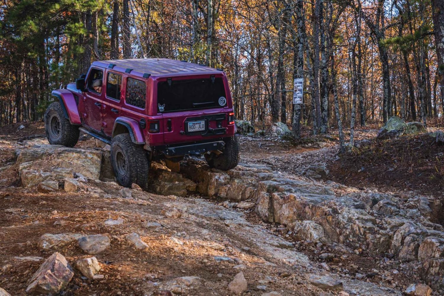
Off-Road Trails in Arkansas

Discover off-road trails in Arkansas
Trail Length
Best Time of Year
Sort By
We can’t find any trails
Learn more about FR289
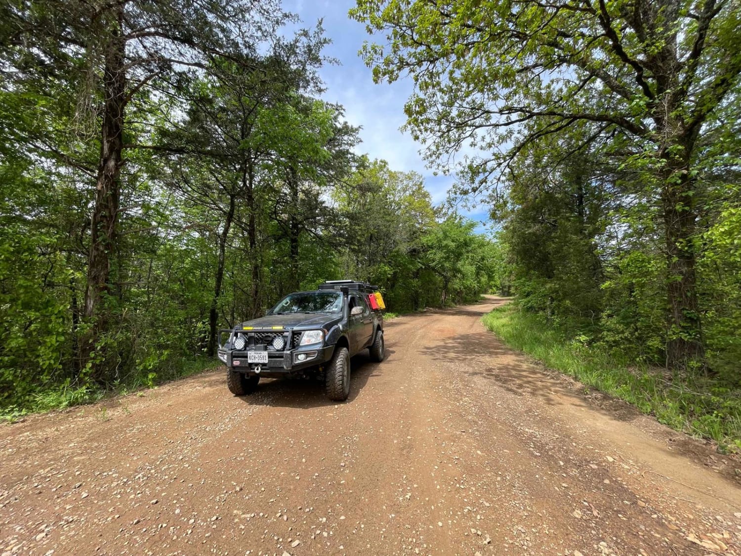
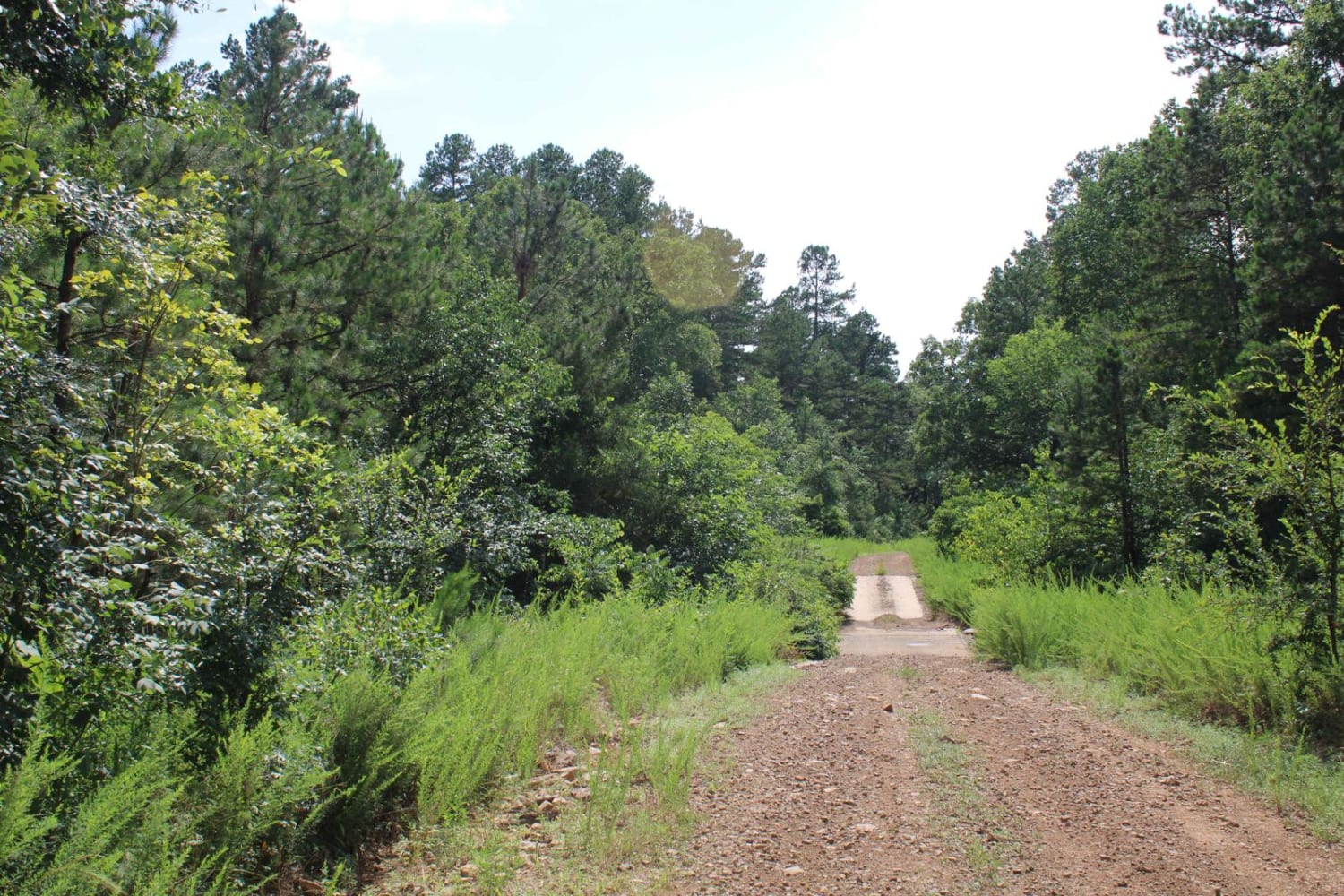
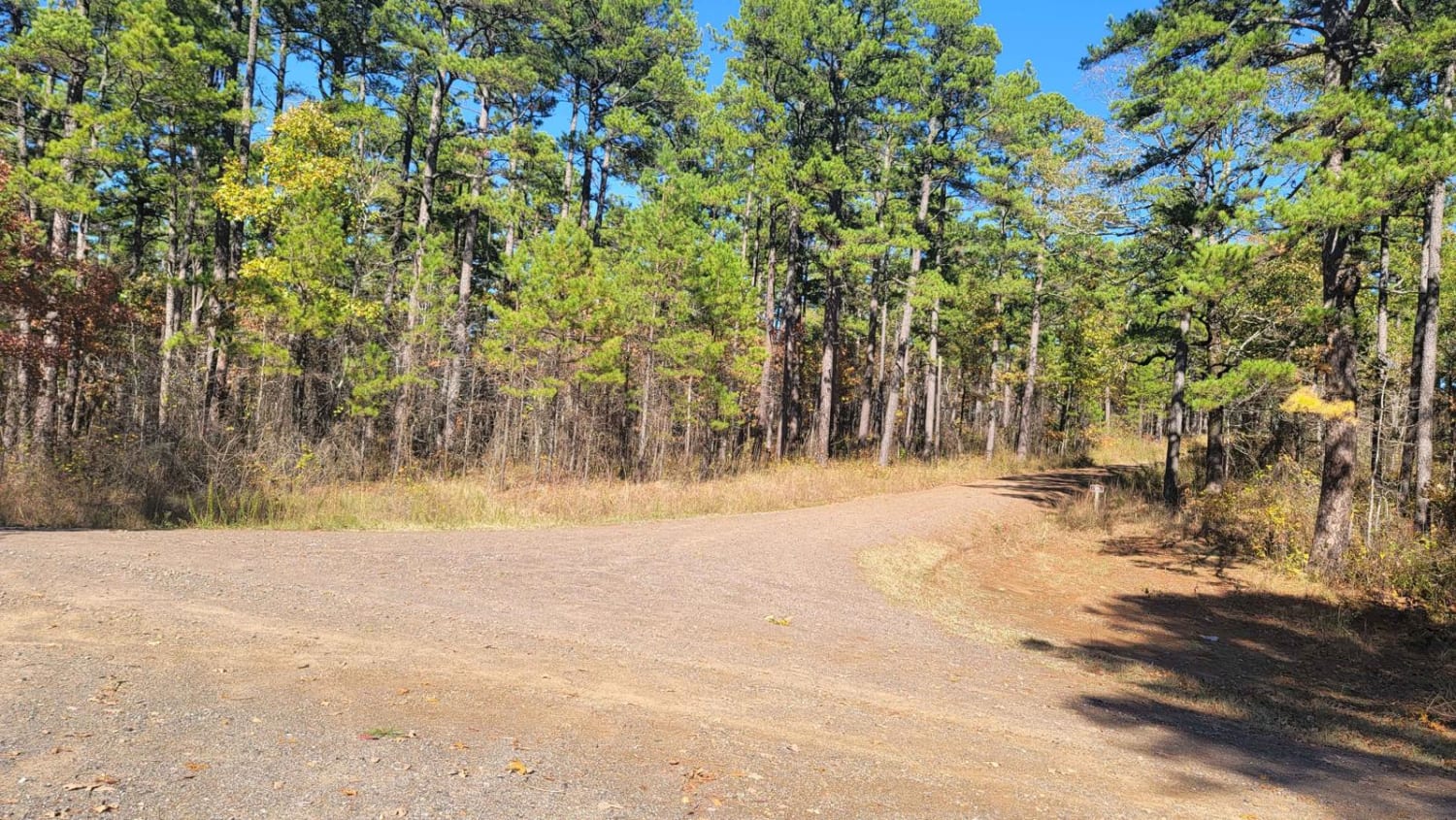
FR289
Total Miles
4.2
Tech Rating
Easy
Best Time
Spring, Summer, Fall, Winter
Learn more about FR298
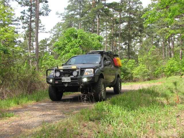
FR298
Total Miles
2.3
Tech Rating
Easy
Best Time
Spring, Summer, Fall, Winter
Learn more about Freedom 44
Freedom 44
Total Miles
8.4
Tech Rating
Easy
Best Time
Spring, Summer, Fall, Winter
Learn more about Freeman Road
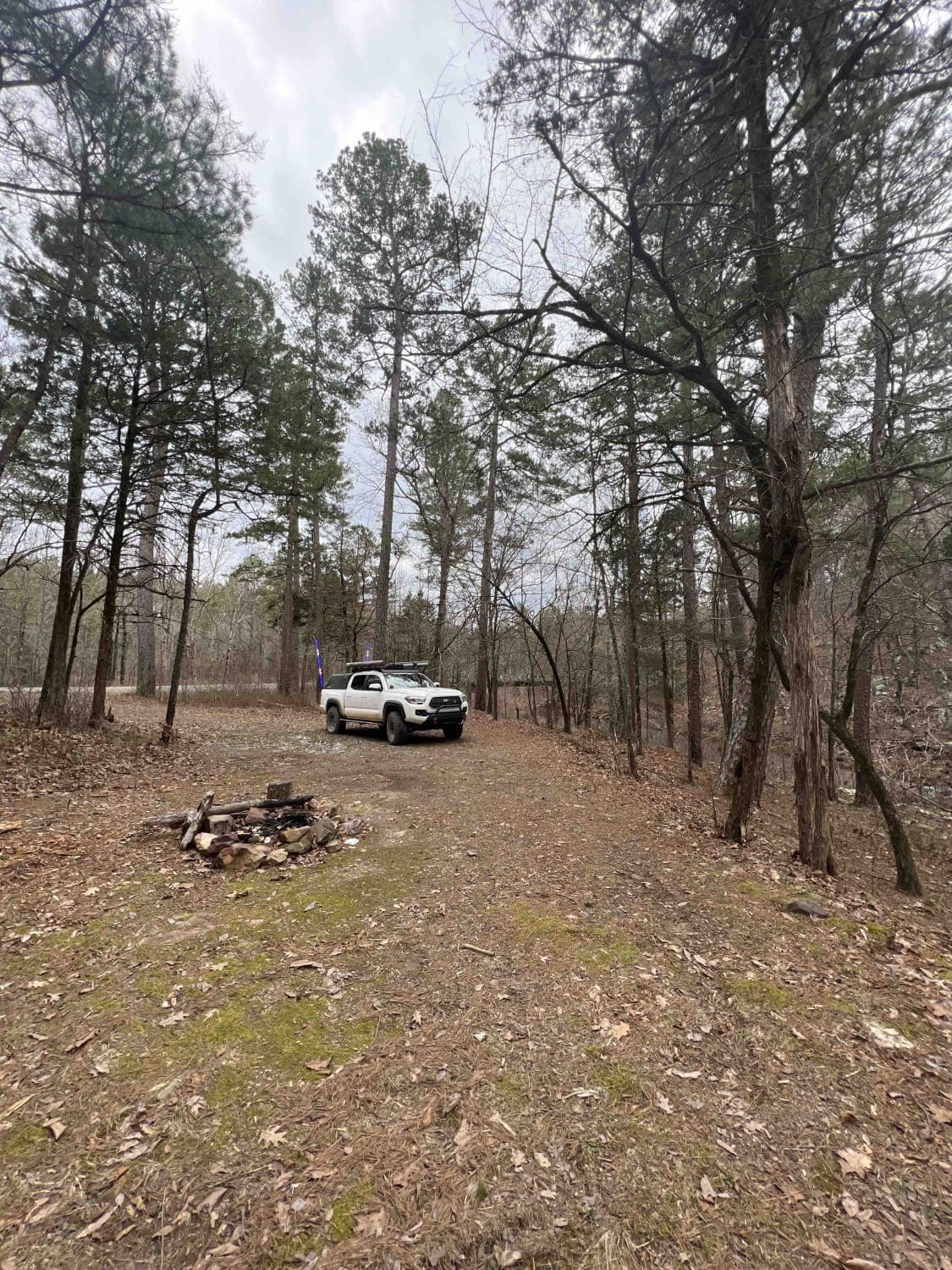
Freeman Road
Total Miles
4.5
Tech Rating
Moderate
Best Time
Spring, Summer, Fall, Winter
Learn more about Frog Bayou
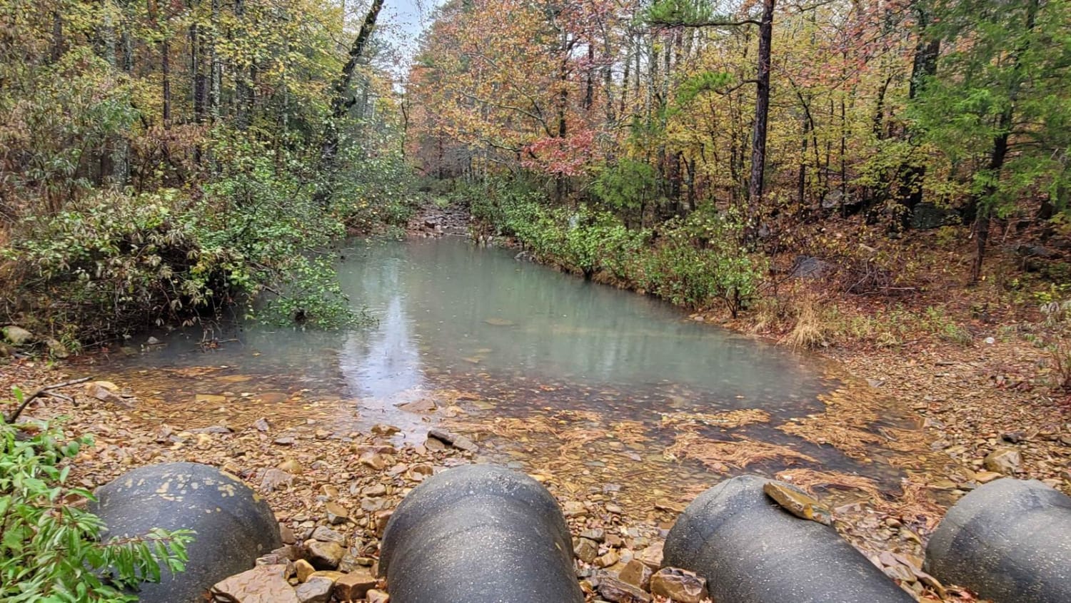
Frog Bayou
Total Miles
12.3
Tech Rating
Moderate
Best Time
Spring, Summer, Fall, Winter
Learn more about FS 94451A
FS 94451A
Total Miles
2.4
Tech Rating
Moderate
Best Time
Spring, Summer, Fall, Winter
Learn more about FSR 1432A
FSR 1432A
Total Miles
0.2
Tech Rating
Easy
Best Time
Spring, Summer, Fall, Winter
Learn more about Fun Run
Fun Run
Total Miles
0.9
Tech Rating
Moderate
Best Time
Spring, Summer, Fall
Learn more about G6/G7 Squid's Jaunt
G6/G7 Squid's Jaunt
Total Miles
0.4
Tech Rating
Moderate
Best Time
Spring, Summer, Fall, Winter
Learn more about Gafford Creek 519
Gafford Creek 519
Total Miles
8.9
Tech Rating
Easy
Best Time
Spring, Fall, Winter
Learn more about Gillham Dam And Cossatot Reefs Campground
Gillham Dam And Cossatot Reefs Campground
Total Miles
6.7
Tech Rating
Easy
Best Time
Spring, Summer, Fall, Winter
Learn more about Girard Road to Sugar Creek Multi Use Trails
Girard Road to Sugar Creek Multi Use Trails
Total Miles
5.9
Tech Rating
Easy
Best Time
Spring, Summer, Fall, Winter
Learn more about Girard Road to White Oak Road
Girard Road to White Oak Road
Total Miles
4.7
Tech Rating
Easy
Best Time
Spring, Summer, Fall, Winter
Learn more about Gladstone Road 11
Gladstone Road 11
Total Miles
10.5
Tech Rating
Easy
Best Time
Spring, Summer, Fall, Winter
Learn more about Grandmother's House

Grandmother's House
Total Miles
0.2
Tech Rating
Moderate
Best Time
Spring, Summer, Fall, Winter
Learn more about Graves Creek Road

Graves Creek Road
Total Miles
5.8
Tech Rating
Moderate
Best Time
Fall
Learn more about H42 Parker Lane

H42 Parker Lane
Total Miles
1.1
Tech Rating
Easy
Best Time
Spring, Fall, Summer
Learn more about Hanging Rock Hollow Falls Trail
Hanging Rock Hollow Falls Trail
Total Miles
4.6
Tech Rating
Difficult
Best Time
Spring, Summer, Fall, Winter
Learn more about Haw Creek
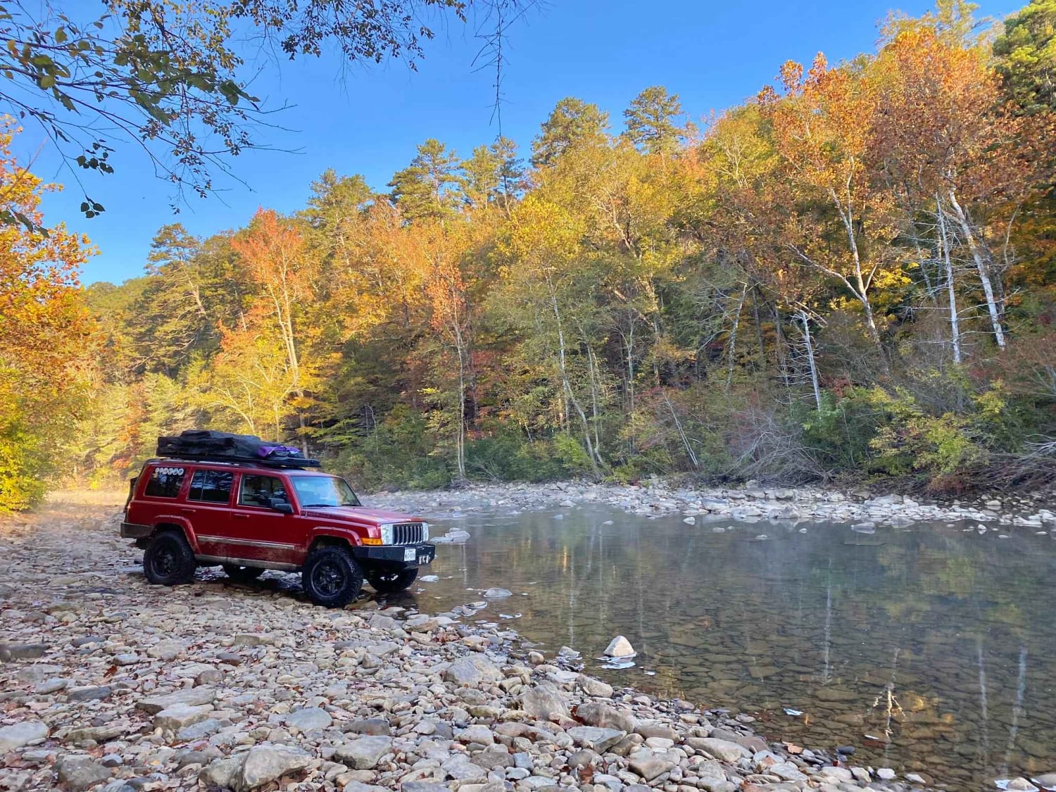
Haw Creek
Total Miles
5.0
Tech Rating
Easy
Best Time
Spring, Summer, Fall, Winter
The onX Offroad Difference
onX Offroad combines trail photos, descriptions, difficulty ratings, width restrictions, seasonality, and more in a user-friendly interface. Available on all devices, with offline access and full compatibility with CarPlay and Android Auto. Discover what you’re missing today!