Off-Road Trails in Arkansas

Discover off-road trails in Arkansas
Trail Length
Best Time of Year
Sort By
We can’t find any trails
Learn more about Collier Springs
Collier Springs
Total Miles
5.6
Tech Rating
Easy
Best Time
Spring, Summer, Fall, Winter
Learn more about Compass Canyon F41

Compass Canyon F41
Total Miles
0.5
Tech Rating
Easy
Best Time
Spring, Summer, Fall
Learn more about Cossatot River Campgrounds Route

Cossatot River Campgrounds Route
Total Miles
21.9
Tech Rating
Easy
Best Time
Spring, Fall, Summer
Learn more about Country route to White Oak Lake Group Campsite
Country route to White Oak Lake Group Campsite
Total Miles
30.0
Tech Rating
Easy
Best Time
Spring, Summer, Fall, Winter
Learn more about County Road 55

County Road 55
Total Miles
5.7
Tech Rating
Easy
Best Time
Spring, Summer, Fall, Winter
Learn more about County Roads to Sour Springs

County Roads to Sour Springs
Total Miles
7.2
Tech Rating
Easy
Best Time
Spring, Summer, Fall, Winter
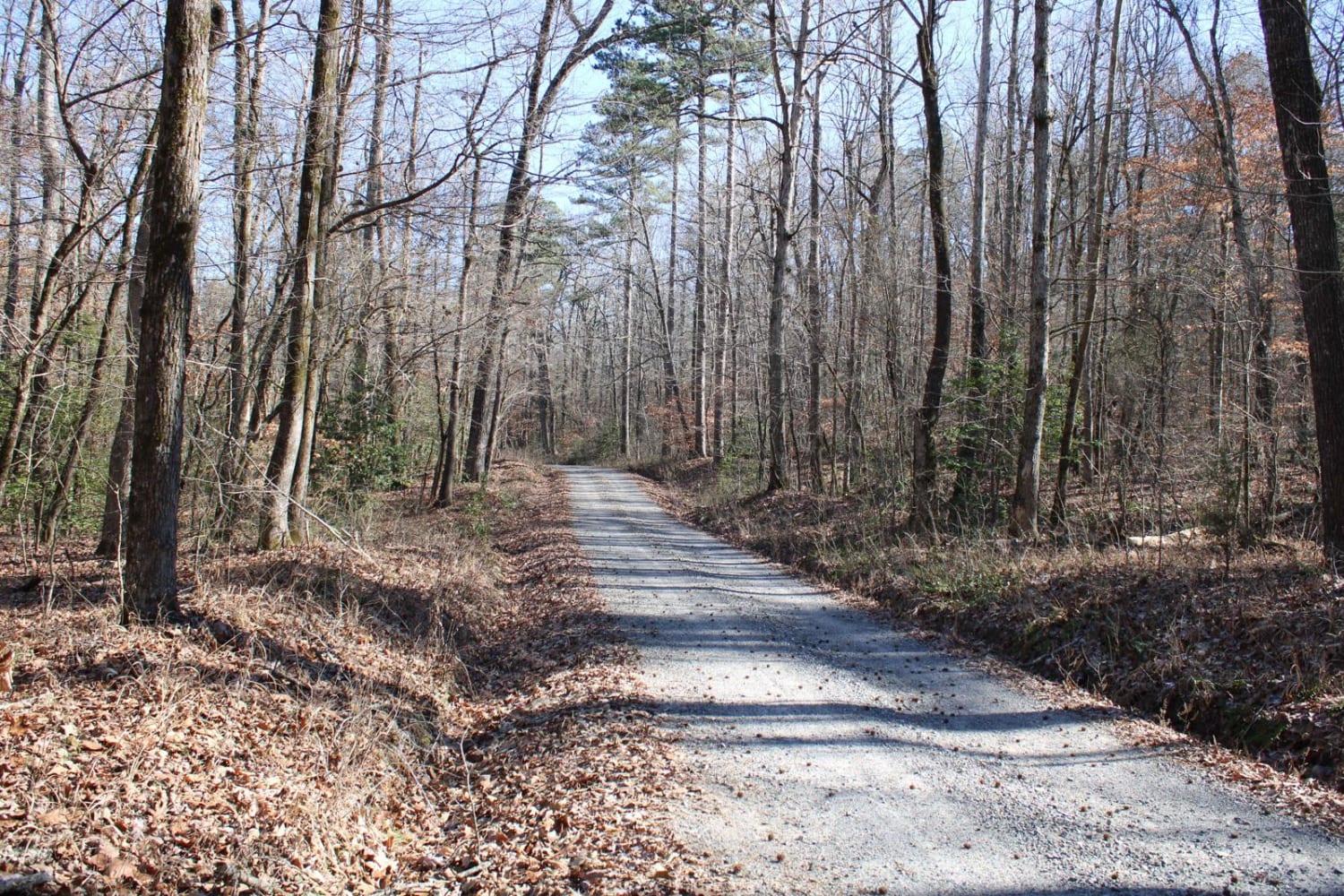
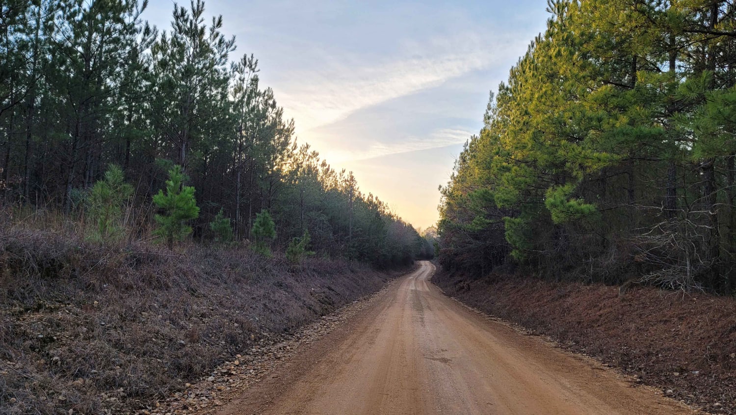
Learn more about Cove Creek Lake/Link Mountain Road 210
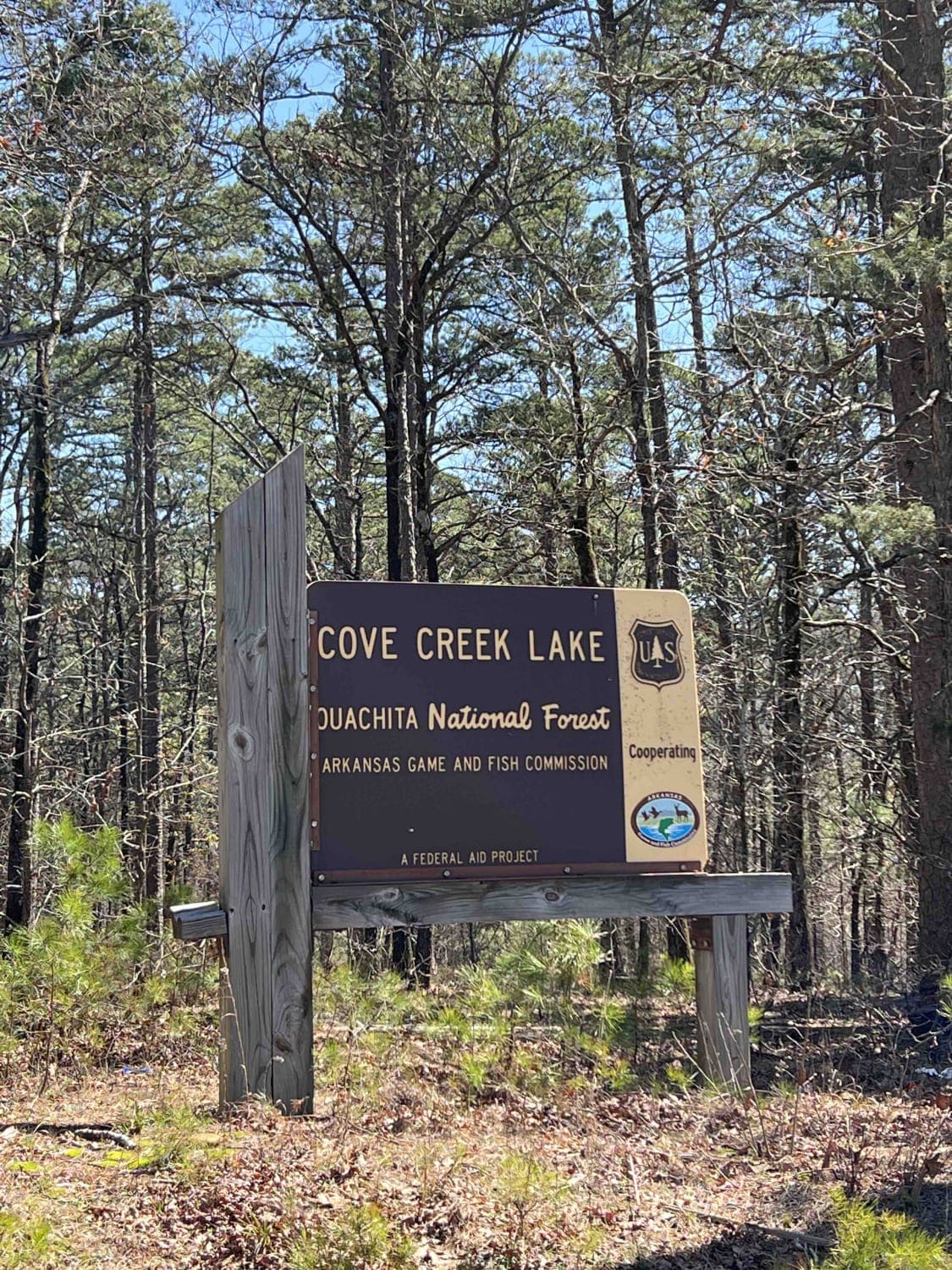
Cove Creek Lake/Link Mountain Road 210
Total Miles
4.6
Tech Rating
Moderate
Best Time
Spring, Summer, Fall, Winter
Learn more about Crystal Mountain
Crystal Mountain
Total Miles
0.3
Tech Rating
Moderate
Best Time
Spring, Fall, Winter
Learn more about Crystal Park
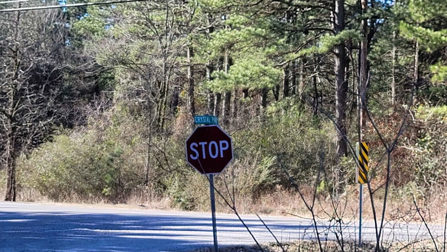
Crystal Park
Total Miles
5.1
Tech Rating
Easy
Best Time
Spring, Summer, Fall, Winter
Learn more about Cumberland Road
Cumberland Road
Total Miles
6.7
Tech Rating
Easy
Best Time
Spring, Summer, Fall, Winter
Learn more about Cut Across to Gillham Road
Cut Across to Gillham Road
Total Miles
6.5
Tech Rating
Easy
Best Time
Spring, Summer, Fall
Learn more about Danville Mountain
Danville Mountain
Total Miles
5.0
Tech Rating
Easy
Best Time
Spring, Summer, Fall, Winter
Learn more about Deer Camp
Deer Camp
Total Miles
7.5
Tech Rating
Easy
Best Time
Spring, Summer, Fall, Winter
Learn more about Deer Trap - 1776
Deer Trap - 1776
Total Miles
4.8
Tech Rating
Moderate
Best Time
Spring, Summer, Fall, Winter
Learn more about Delaney Creek Trail FS1517
Delaney Creek Trail FS1517
Total Miles
4.3
Tech Rating
Easy
Best Time
Spring, Fall, Winter, Summer
Learn more about Devils Canyon Trail
Devils Canyon Trail
Total Miles
1.1
Tech Rating
Easy
Best Time
Spring, Summer, Fall, Winter
Learn more about Dispersed on Boles
Dispersed on Boles
Total Miles
5.3
Tech Rating
Easy
Best Time
Spring, Summer, Fall, Winter
Learn more about Double Tree Picnic Trail
Double Tree Picnic Trail
Total Miles
0.2
Tech Rating
Easy
Best Time
Fall
Learn more about Dr. Lester Sitzes III Bois D'Arc WMA
Dr. Lester Sitzes III Bois D'Arc WMA
Total Miles
4.7
Tech Rating
Easy
Best Time
Spring, Summer, Fall, Winter
The onX Offroad Difference
onX Offroad combines trail photos, descriptions, difficulty ratings, width restrictions, seasonality, and more in a user-friendly interface. Available on all devices, with offline access and full compatibility with CarPlay and Android Auto. Discover what you’re missing today!