Balancing Boulder Camp to Needles Highway
Total Miles
7.6
Technical Rating
Best Time
Spring, Fall, Summer
Trail Type
Full-Width Road
Accessible By
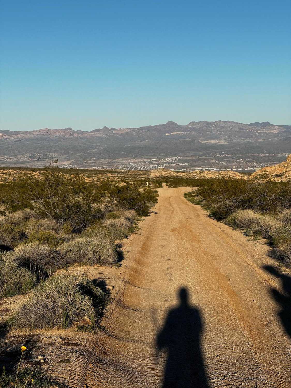
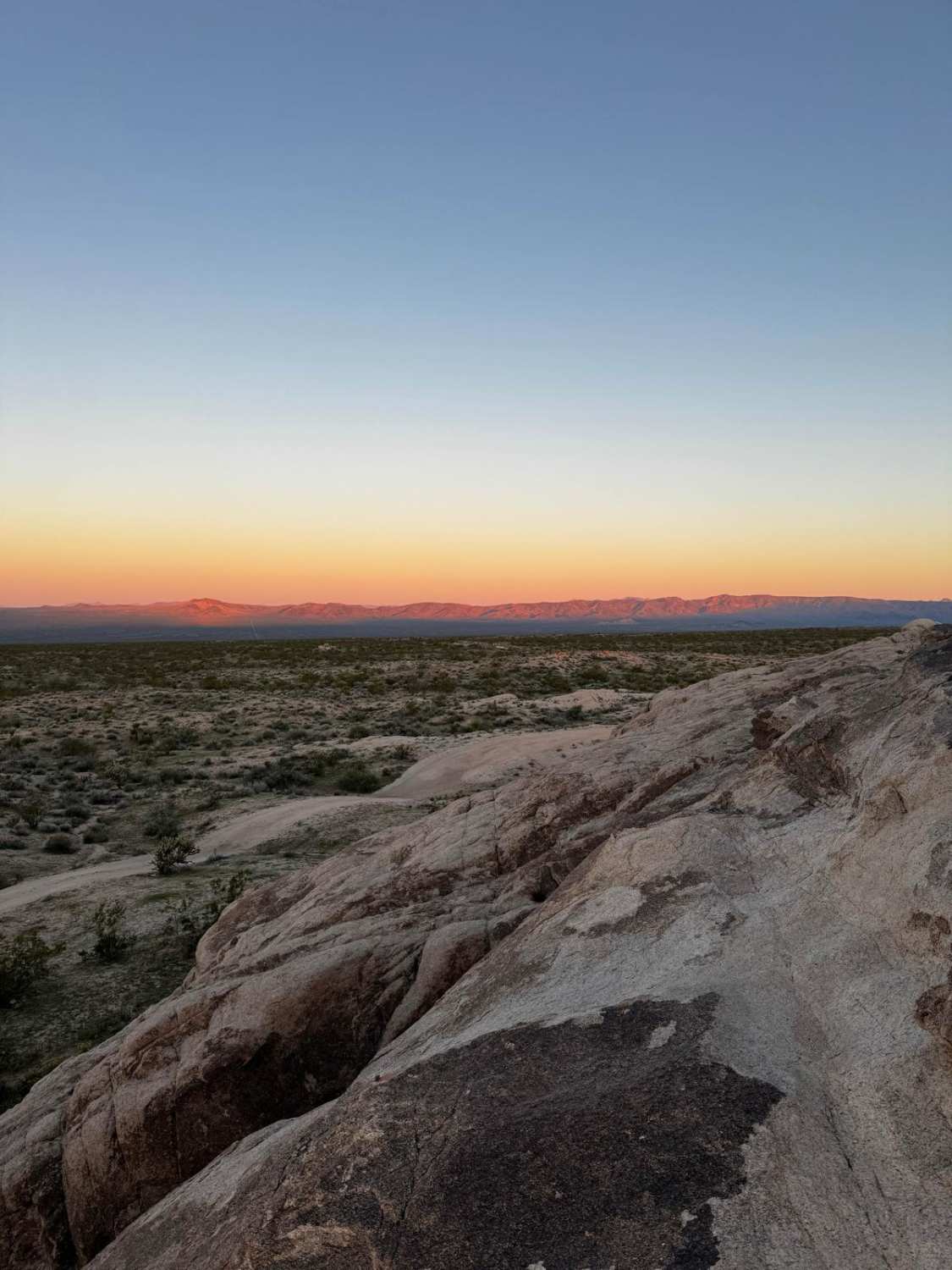
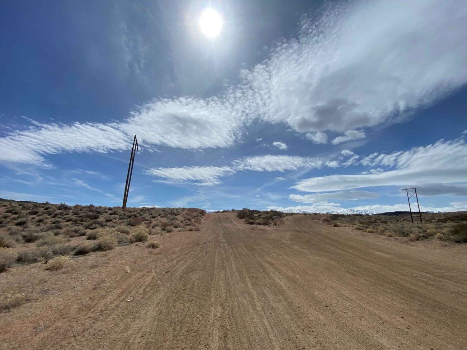
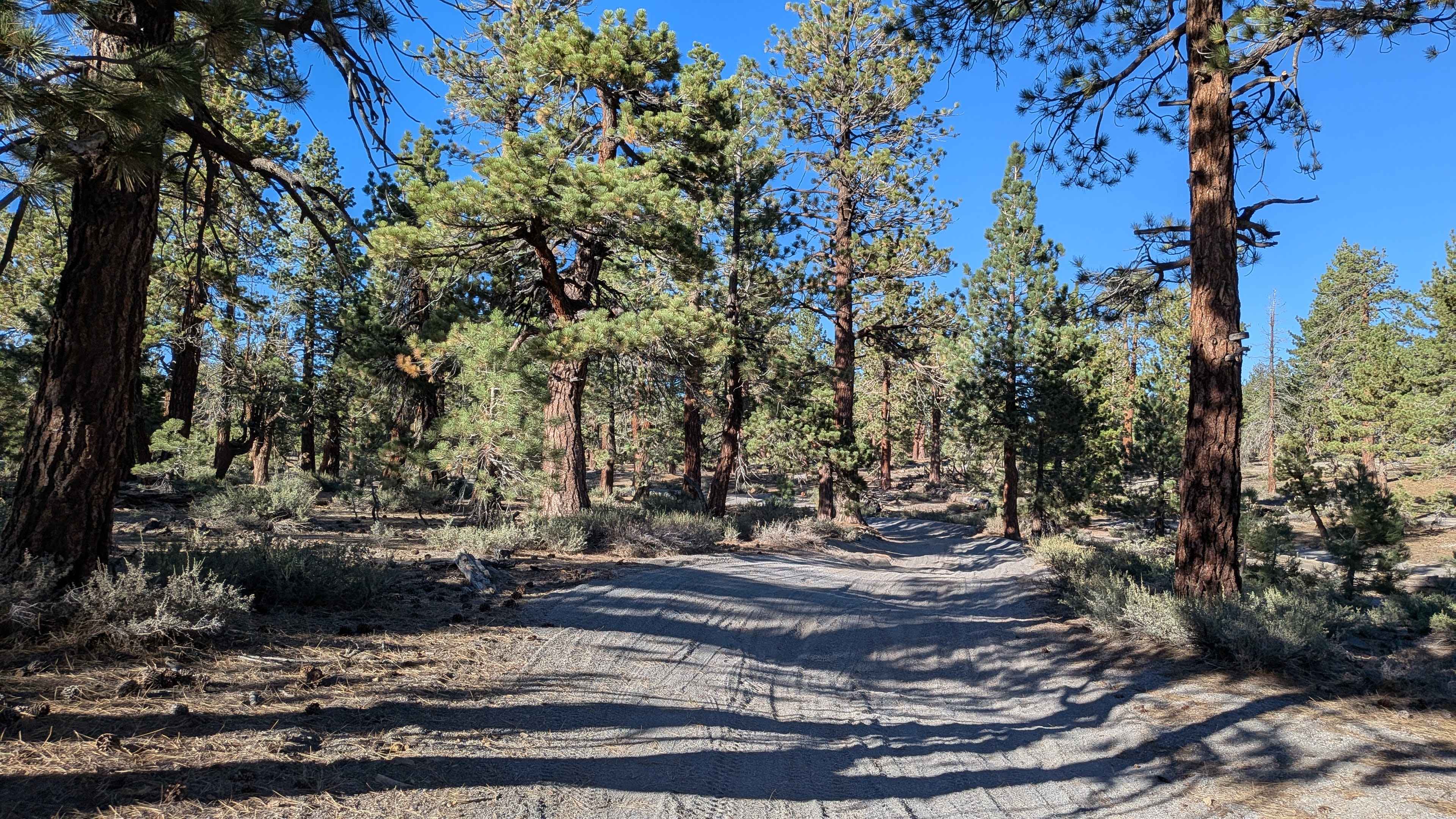
Trail Overview
This trail takes you from Balancing Boulder Camp down to the Needles Highway, where you can head south to Needles or north to Laughlin/Bullhead City. Starting at camp around 2,500 feet of elevation, you drop to just 700 feet in a little more than 7 miles. Once you cross into Nevada, marked by the American flag, the trail turns towards the south and into a wash. Because of this, it would be best to avoid it after heavy rain due to flash flood potential. Most of the trail is fast, around 20 mph, but you'll need to be careful of wildlife and large divots created by the wash. Towards the bottom, you'll turn east to climb out of the wash for a bit, but a mile later, you'll drop right back into the wash. The southernmost section near the Needles Highway is a popular spot for RVs and SxSs, so use caution crossing through their camps.
Photos of Balancing Boulder Camp to Needles Highway
Difficulty
This is a mostly maneuverable sand wash with occasionally deeper sand. It would be more difficult after a rain.
Status Reports
Balancing Boulder Camp to Needles Highway can be accessed by the following ride types:
- High-Clearance 4x4
- SUV
Balancing Boulder Camp to Needles Highway Map
Popular Trails
Verdi-Sardine-Loyalton
Chidago Loop Road
The onX Offroad Difference
onX Offroad combines trail photos, descriptions, difficulty ratings, width restrictions, seasonality, and more in a user-friendly interface. Available on all devices, with offline access and full compatibility with CarPlay and Android Auto. Discover what you’re missing today!