Hayden Springs
Total Miles
4.8
Technical Rating
Best Time
Winter, Fall, Spring
Trail Type
High-Clearance 4x4 Trail
Accessible By
Trail Overview
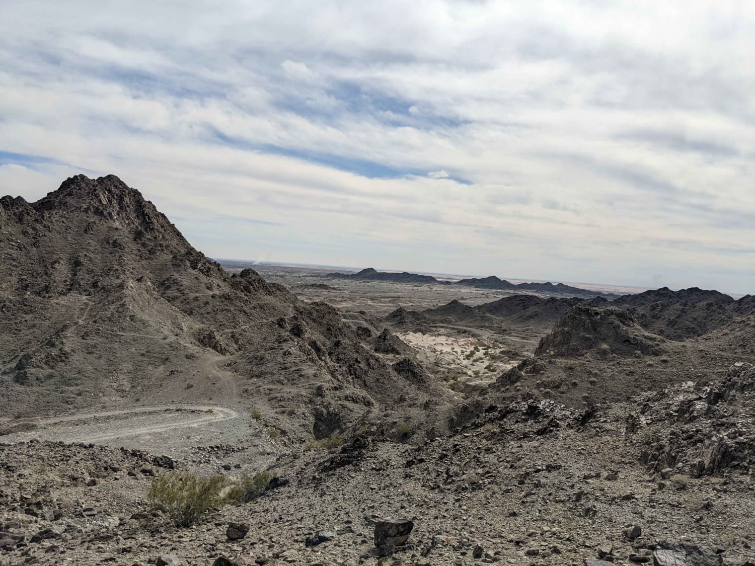
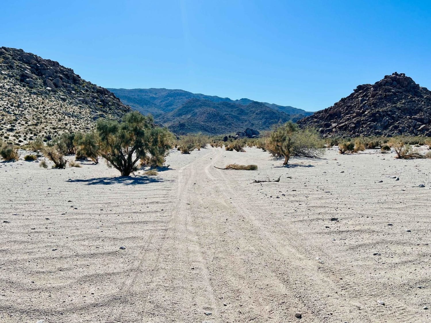
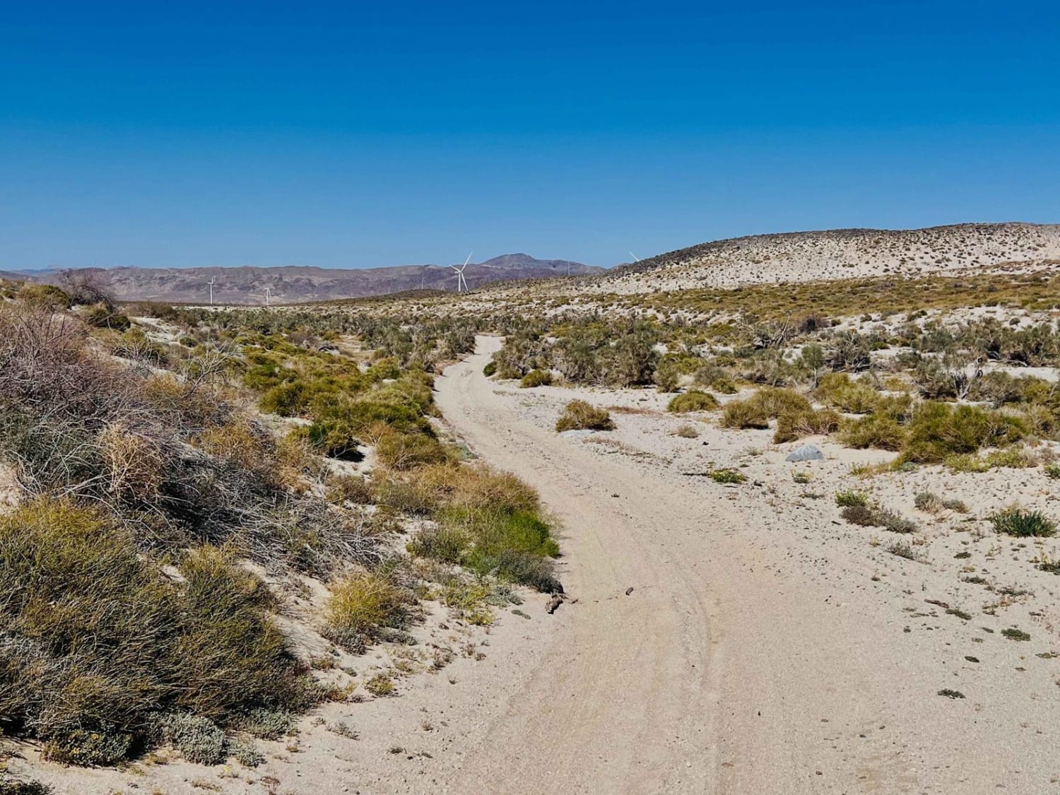
This trail is an excellent border trail for the area that hits close to and runs through some of the lumpy rock mountains the area is famous for. The trail's eastern section follows the abandoned rail lines for part of it. Some short, steep hill climbs, and ledges may become even more severe after a good rain storm. The trail crosses the abandoned tracks by a large dune area where the route transitions from packed dirt to deep sand. Airing down your tires would be highly recommended in the soft stuff. It can get windy out here based on the lines in the sand. As this route twists and turns, it passes a few decent spots to camp, some with wind blocks and some just out in the open. Plenty of wildlife, from jackrabbits to small birds, flushed out of the cactus. If you are lucky, you may catch a red-tailed hawk circling overhead. Be on the lookout for the desert tortious, and they are protected. There's plenty of plant life, from jojoba plants to cholla and ocotillo. In the springtime, the flowering colors are out of control. One bar of LTE Verizon fades in and out on this trail. This is a high-traffic area for illegal border activity. Be sure to report any suspicious activity to Homeland Security/Border Patrol and use caution when traveling in the area.
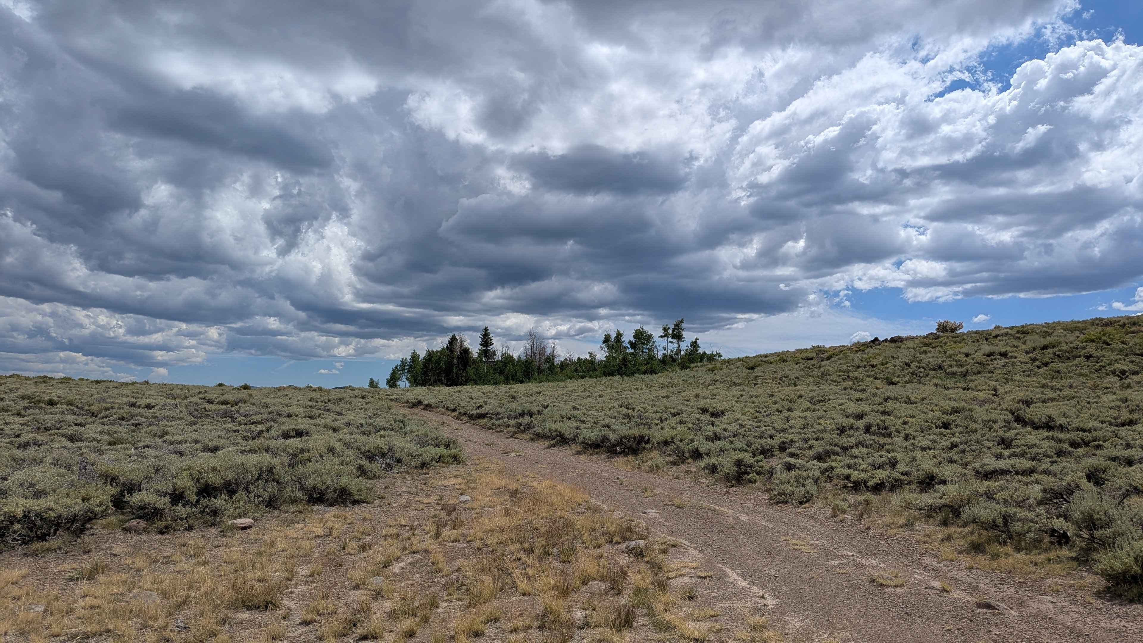
Photos of Hayden Springs
Difficulty
Deeper sand and steep hill climb and traditions may be more difficult depending on the time of year. All vehicles entering the Anza Burrego wilderness must be plated and street-legal.
Status Reports
Hayden Springs can be accessed by the following ride types:
- High-Clearance 4x4
- SxS (60")
- Dirt Bike
Hayden Springs Map
Popular Trails

Leviathan Bypass - FS 31353

EMHT Segment 4: Fenner to Needles

Red Rock Grade

Pandre Madre Mine
The onX Offroad Difference
onX Offroad combines trail photos, descriptions, difficulty ratings, width restrictions, seasonality, and more in a user-friendly interface. Available on all devices, with offline access and full compatibility with CarPlay and Android Auto. Discover what you’re missing today!

