Long Valley Road
Total Miles
8.1
Technical Rating
Best Time
Summer
Trail Type
Full-Width Road
Accessible By
Trail Overview
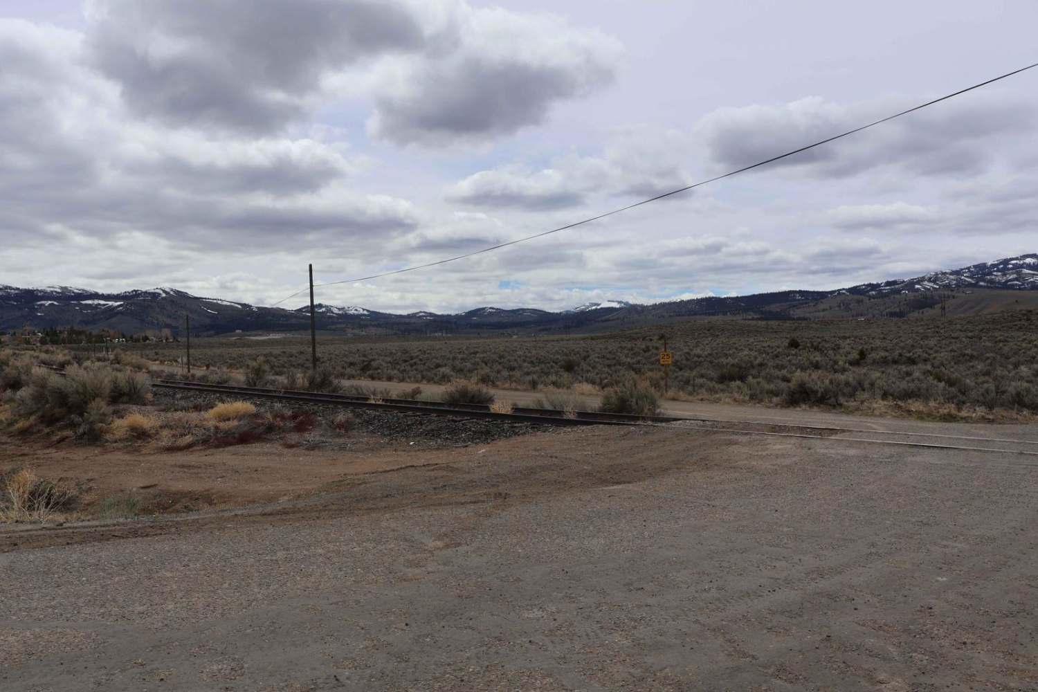
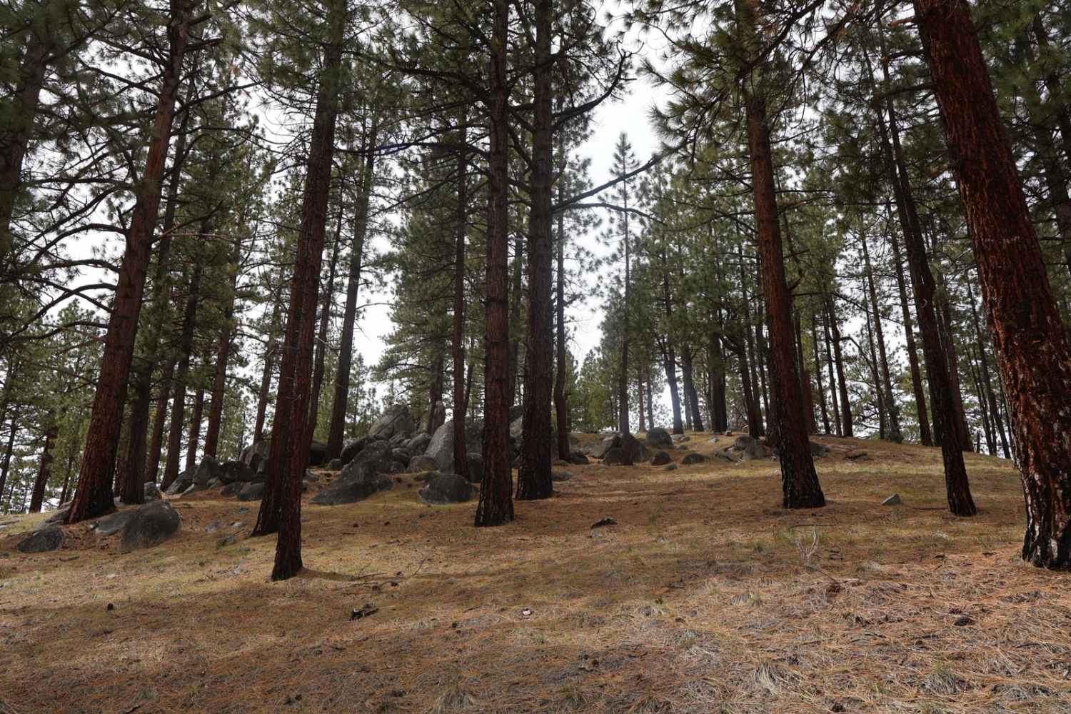
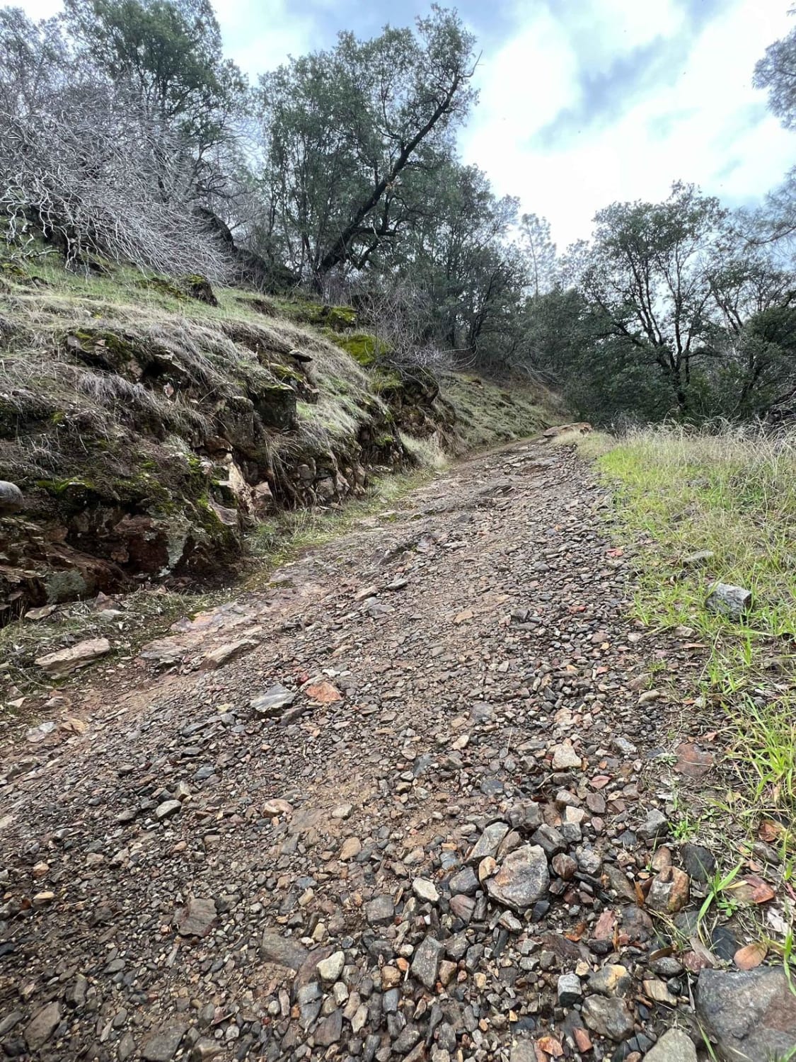
The route starts at the end of Virginia Street, crossing some railroad tracks and turning into a graded dirt road. There are some washboard sections, and during early spring, it is quite muddy. Of course, during winter, it has quite a bit of snow and can be inaccessible at times. Be cautious of large potholes that can be found along the way. After a couple of miles of beautiful scenery of the nearby eastern Sierra Nevada mountains, you will eventually cross over a cattle guard. There is a split in the road, and whichever direction you go, you will quickly enter the Toiyabe National Forest. There are amazing views of the valley, the mountains, and the forest. Along the way, many offshoots offer some more challenging obstacles.
Photos of Long Valley Road
Difficulty
There are several muddy holes and puddles, along with access to cross Long Valley Creek. The crossing is less than 12 inches deep. There are several more technical offshoots to explore if you so choose.
Status Reports
Long Valley Road can be accessed by the following ride types:
- High-Clearance 4x4
- SUV
- SxS (60")
- ATV (50")
- Dirt Bike
Long Valley Road Map
Popular Trails
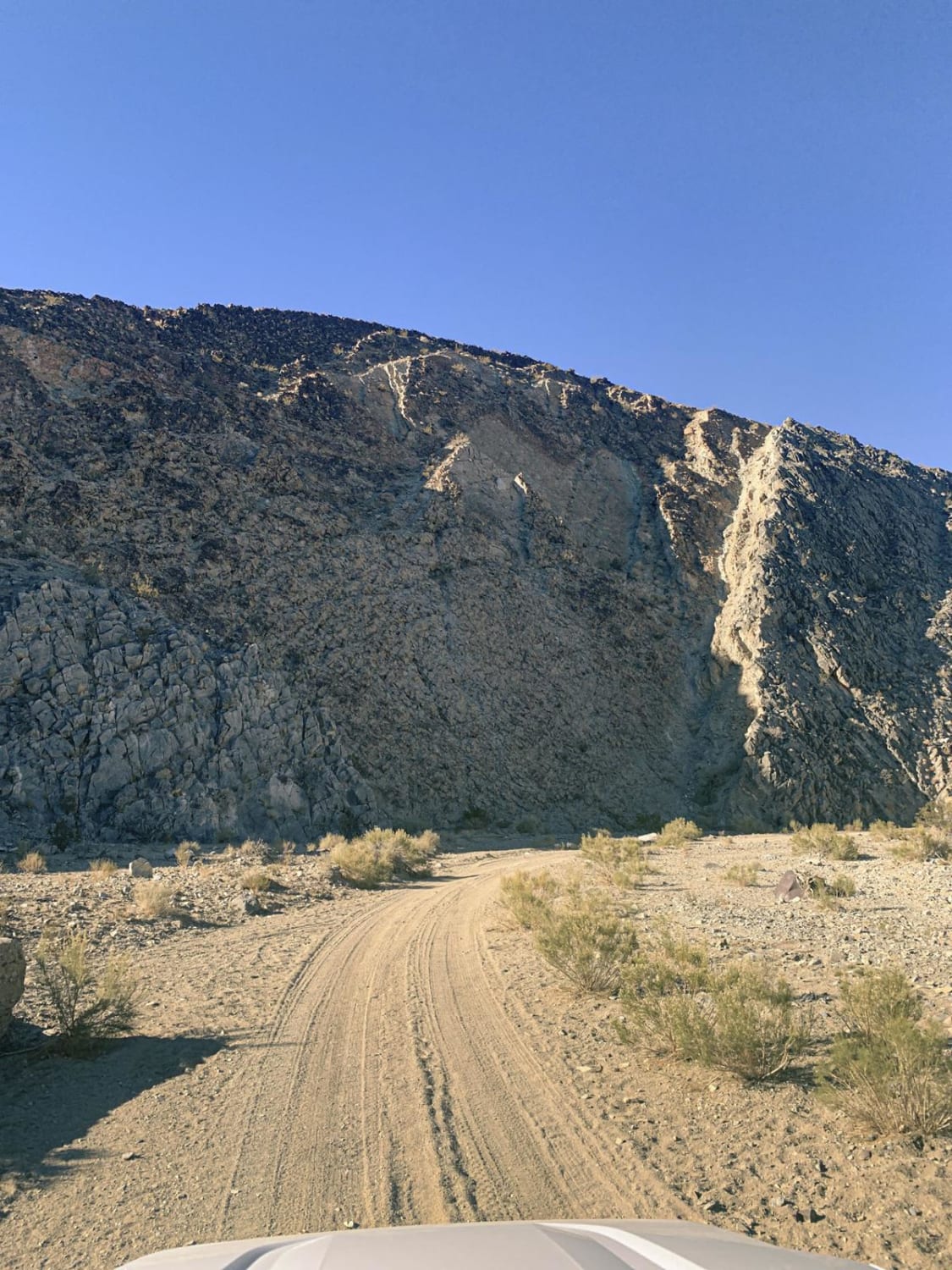
Darwin Canyon
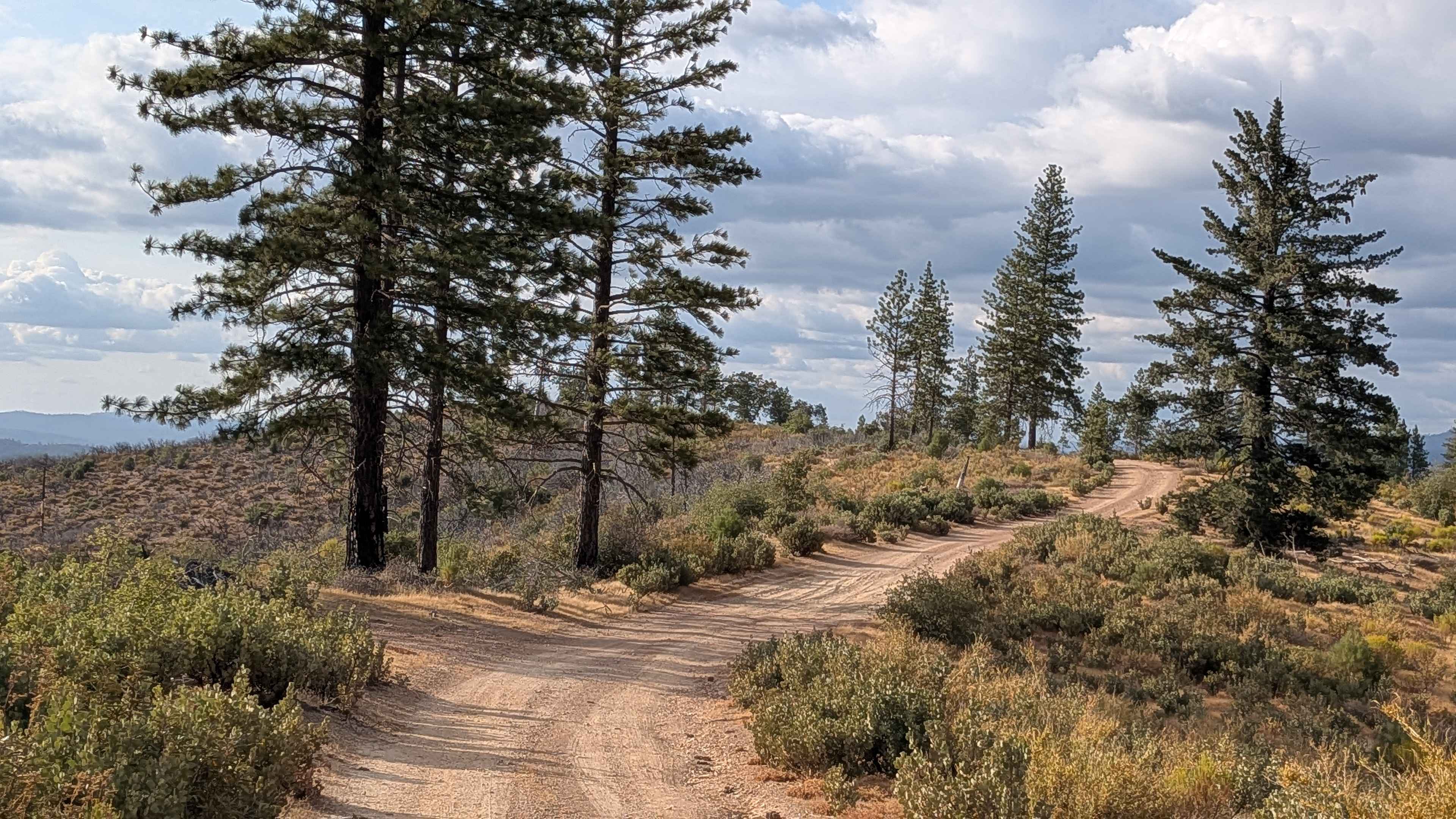
Buffalo Gulch - FS 4S11

3S35J Water Tower Loop
Forebay to American Camp
The onX Offroad Difference
onX Offroad combines trail photos, descriptions, difficulty ratings, width restrictions, seasonality, and more in a user-friendly interface. Available on all devices, with offline access and full compatibility with CarPlay and Android Auto. Discover what you’re missing today!
