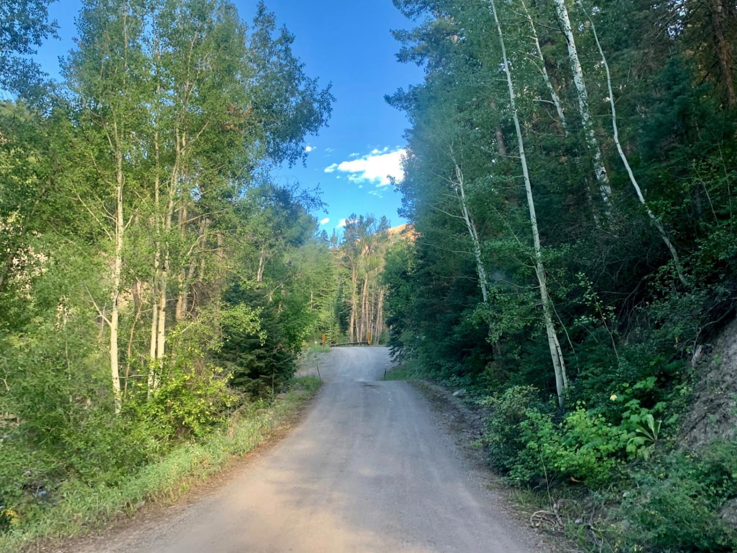
Cty Rd 14. - Dexter Creek Rd
Total Miles
2.4
Technical Rating
Best Time
Spring, Summer, Fall
Trail Type
Full-Width Road
Accessible By
Trail Overview
Dexter Creek Road leads you to national forest land with a few dispersed camping sites starting about one mile in. The road starts out a graded, gravel road which very quickly gets to a steep hill with a one-lane road. Uphill traffic has the right-of-way. The road passes through residential areas including the Lenore Lake community for the first mile. This is a private lake and property. Please respect that as you drive past. The road quality changes a bit after the NFS sign, but is still drivable with most cars. There are a few camping spots on either side of the road as you travel. About a mile after the NFS, there is a bridge crossing the creek. Here the road quality changes again, only one lane wide in some spots. Still passable by most vehicles. About another 3/4 of a mile is the trailhead for Dexter Creek trail and a few spots to camp. From here, after crossing the stream, the road changes again and is only recommended for high-clearance vehicles. It will lead you to a small meadow with the Horsethief trailhead and a spot to camp. The road continues up the hill with another spot to camp. Continuing on from this spo,t the road gets rougher after a distance, without any camping. Beware that as you near the end of the road, it makes a left uphill turn with no place to turn around. There is a tree placed across the road at the ending.
Photos of Cty Rd 14. - Dexter Creek Rd
Difficulty
The road quality changes after the bridge crossing Dexter Creek, and gets more challenging after that.
Status Reports
Cty Rd 14. - Dexter Creek Rd can be accessed by the following ride types:
- High-Clearance 4x4
- SUV
- Dirt Bike
Cty Rd 14. - Dexter Creek Rd Map
Popular Trails

Right Hand ATV Trail

Oak Escape South Rampart
Clark Spring Road
The onX Offroad Difference
onX Offroad combines trail photos, descriptions, difficulty ratings, width restrictions, seasonality, and more in a user-friendly interface. Available on all devices, with offline access and full compatibility with CarPlay and Android Auto. Discover what you’re missing today!
