Off-Road Trails in Colorado

Discover off-road trails in Colorado

Learn more about Pole Creek
Pole Creek

Pole Creek

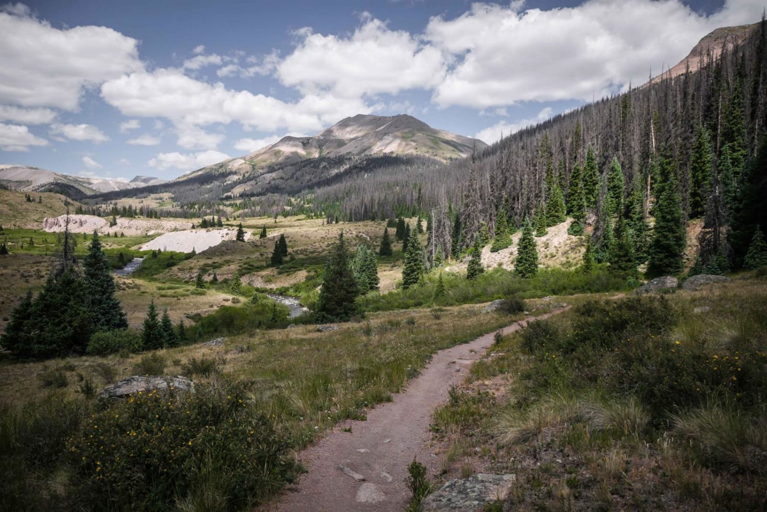
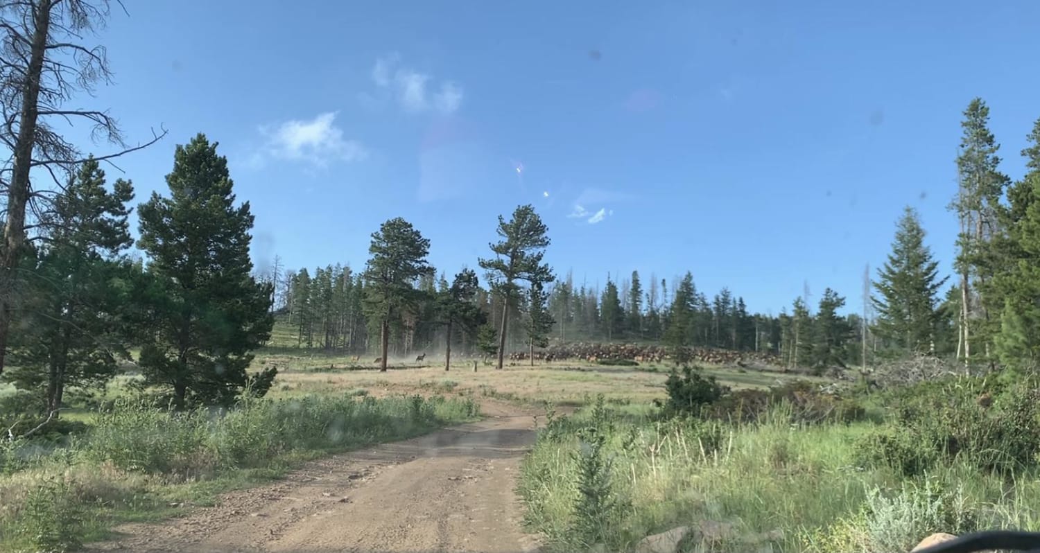
Pole Creek is an epic single track in the Rio Grande National Forest near Lake City, Colorado. From south to north, it is a steady incline the whole way, with several small creek crossings that…
Learn more about Pole Creek
Total Miles
7.2
Tech Rating
5 Moderate
Best Time
Summer
Learn more about Pomeroy Lake - FS 297
Pomeroy Lake - FS 297

Pomeroy Lake - FS 297

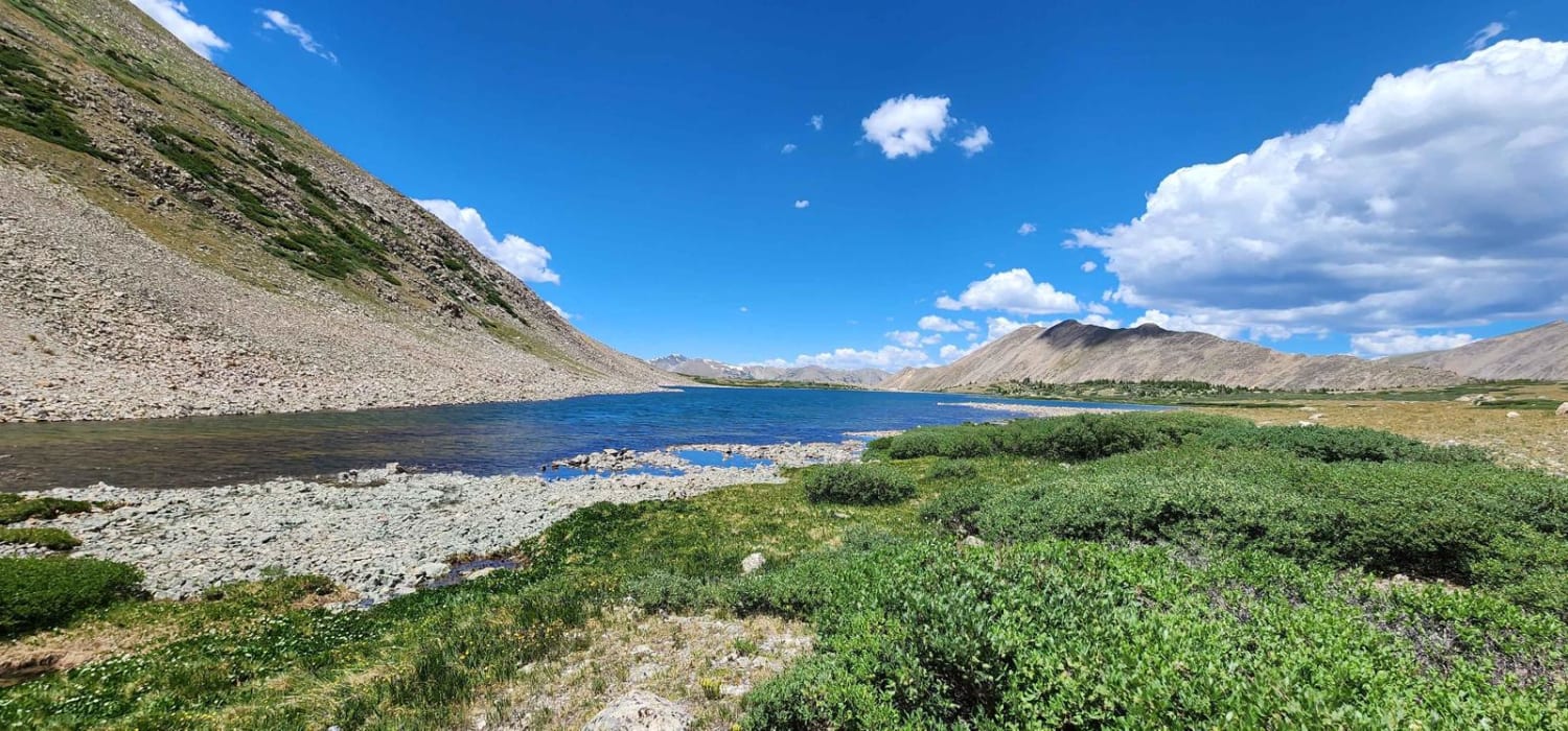
This is a spur off the popular Hancock Pass, before the town of Hancock. This trail will take you past the Mary Murphy tram towers to some mining structures at the trams lower and midpoint…
Learn more about Pomeroy Lake - FS 297
Total Miles
2.7
Tech Rating
5 Moderate
Best Time
Summer
Learn more about Ponds Express ATV Trail
Ponds Express ATV Trail

Ponds Express ATV Trail

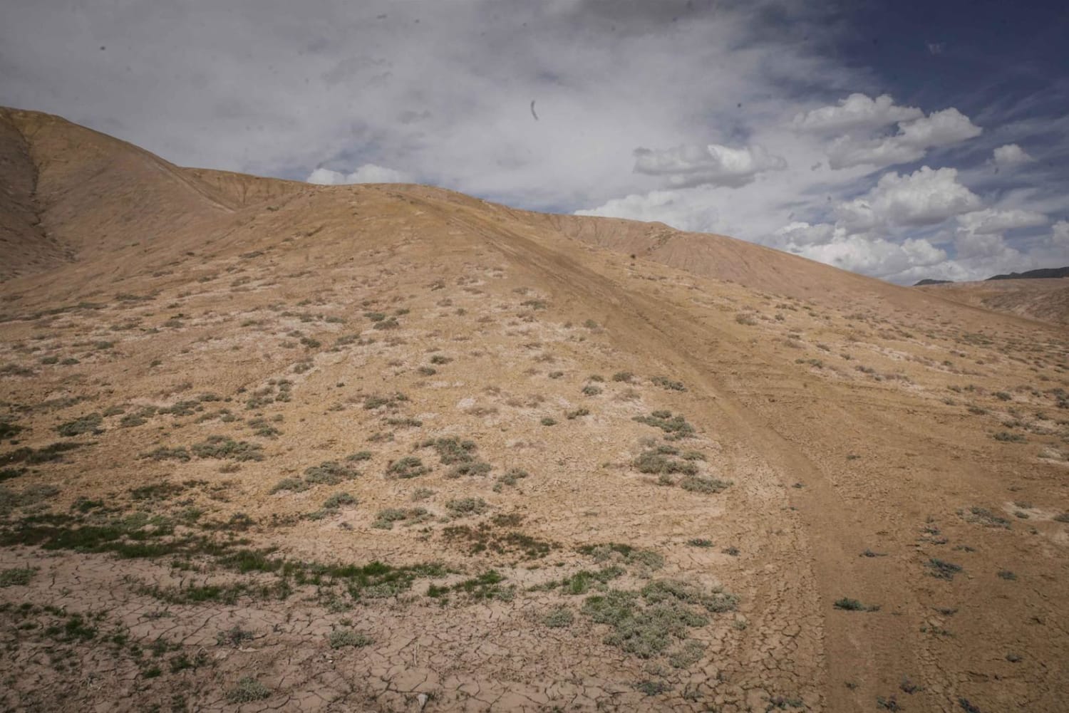
Ponds Express is a 50" trail in the adobe badlands of Peach Valley recreation area near Montrose, Colorado. The trail has a smooth clay surface, and follows several ridge lines on the adobe hills. It…
Learn more about Ponds Express ATV Trail
Total Miles
1.7
Tech Rating
2 Easy
Best Time
Fall, Spring
Learn more about Ponds Ridge
Ponds Ridge

Ponds Ridge

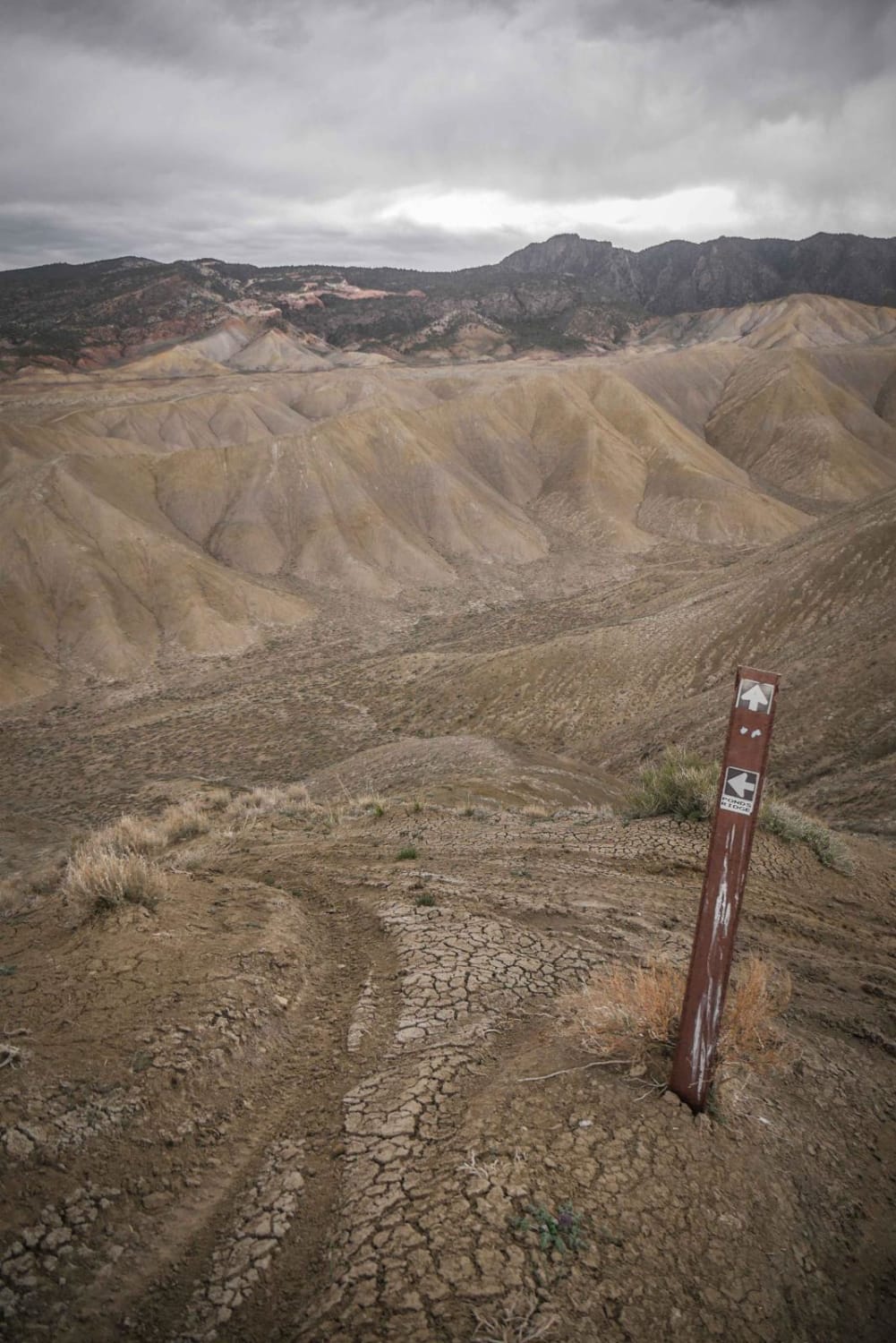
Ponds Ridge is an adobe ridge line trail similar to most of the ridge line trails in the Flat Top- Peach Valley Recreation Area. It's a narrow single-track trail made up of ascents and descents…
Learn more about Ponds Ridge
Total Miles
1.1
Tech Rating
3 Easy
Best Time
Fall, Spring
Learn more about Pony Park Road - 433
Pony Park Road - 433

Pony Park Road - 433

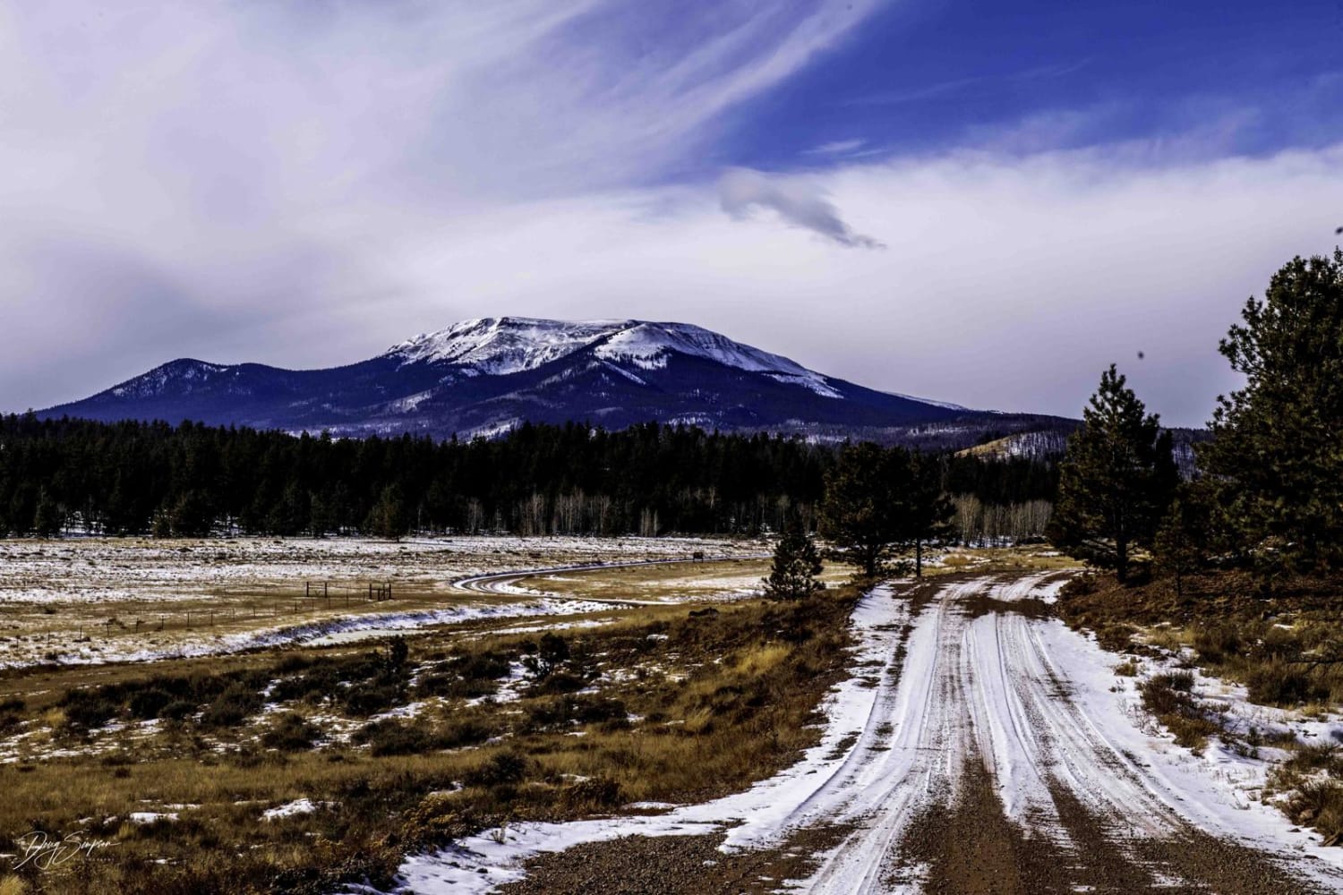
This trail takes you through mostly aspen groves, open areas, and some of the burn scars of a wildfire in 2018. The trail can be tricky in wintertime due to some semi-steep sections, and drifting…
Learn more about Pony Park Road - 433
Total Miles
7.5
Tech Rating
2 Easy
Best Time
Spring, Summer, Fall, Winter
Learn more about Pony Tail
Pony Tail

Pony Tail

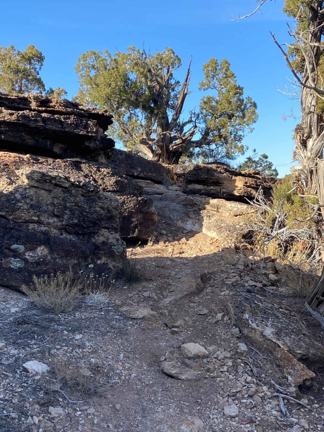
Pony Tail is a short but fun technical trail in the Bangs Canyon system that is mostly rocky (but not loose rock) and hard-pack dirt. The trail starts and ends on the Saddle Up 50-inch…
Learn more about Pony Tail
Total Miles
1.4
Tech Rating
7 Difficult
Best Time
Spring, Summer, Fall, Winter
Learn more about Pool Table Road
Pool Table Road

Pool Table Road

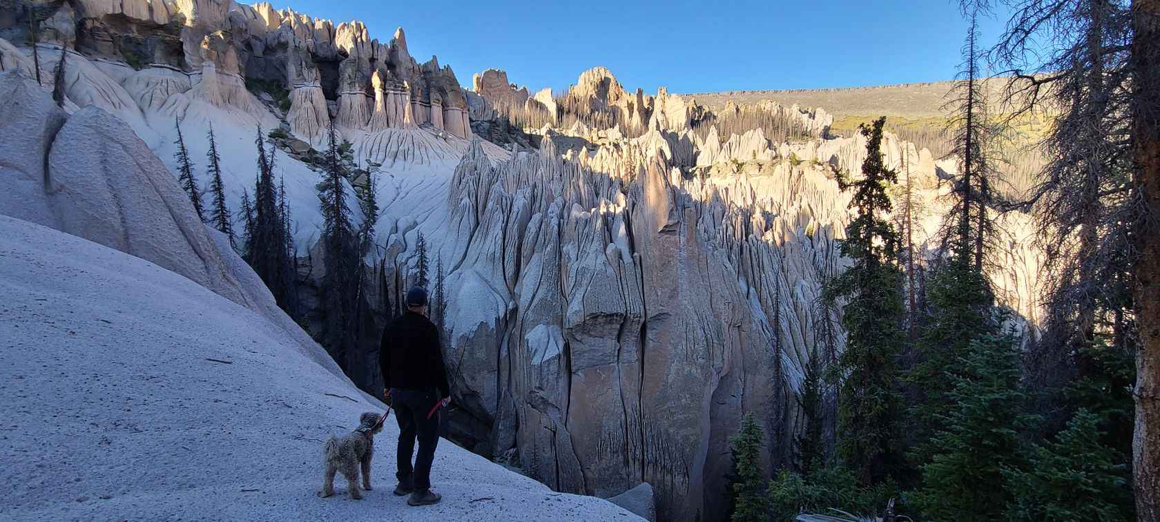
Pool Table Road goes to the Wheeler Geographic area, one of two places in Colorado that have Hoodoos. It is a long winding road, about 1/2 of it is annoyingly bumpy but drivable in an…
Learn more about Pool Table Road
Total Miles
26.7
Tech Rating
3 Easy
Best Time
Summer, Fall
Learn more about Porcupine Gulch
Porcupine Gulch

Porcupine Gulch

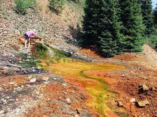
Porcupine Gulch ends at an old mine with both an upper and lower level. The lower has more room to turn around. Take time to explore and you can spend the biggest part of a…
Learn more about Porcupine Gulch
Total Miles
0.9
Tech Rating
4 Moderate
Best Time
Summer, Fall
Learn more about Pork Chop
Pork Chop

Pork Chop

The Pork Chop trail is a short trail in the Dry Creek Recreation Area that has sections of fast desert single track through sagebrush and pinyon pine in between more difficult sections of loose rock…
Learn more about Pork Chop
Total Miles
3.3
Tech Rating
4 Moderate
Best Time
Fall, Spring
Learn more about Porphyry Gulch
Porphyry Gulch

Porphyry Gulch

After completing this short trail, you will arrive at a beautiful spot with mountain lakes and waterfalls. If you're in an unlicensed vehicle, you may have trouble finding room to stage at the trailhead. Some…
Learn more about Porphyry Gulch
Total Miles
2.6
Tech Rating
4 Moderate
Best Time
Summer, Fall
Learn more about Poughkeepsie Gulch
Poughkeepsie Gulch

Poughkeepsie Gulch

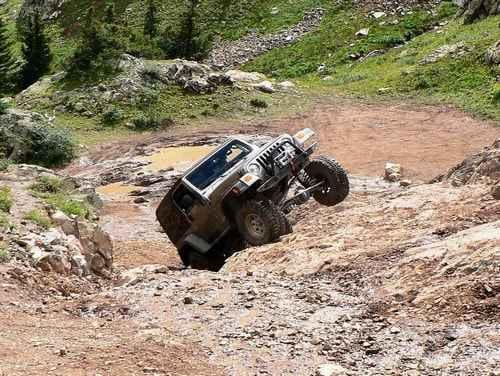
Poughkeepsie Gulch is just about the only challenging Jeep trail in the San Juans. The reason for the 7-rating is the one major obstacle, called "The Wall." When most people talk about this trail, they…
Learn more about Poughkeepsie Gulch
Total Miles
5.2
Tech Rating
7 Difficult
Best Time
Summer, Fall
Learn more about Powerline - Cunningham Road
Powerline - Cunningham Road

Powerline - Cunningham Road

This trail follows a large section of powerline, hence the name of the trail, which connects Hagerman Pass to Diemer & Sellar lakes in the White River National Forest. This trail takes you to a…
Learn more about Powerline - Cunningham Road
Total Miles
6.2
Tech Rating
3 Easy
Best Time
Summer
Learn more about Powerline East Road 318
Powerline East Road 318

Powerline East Road 318

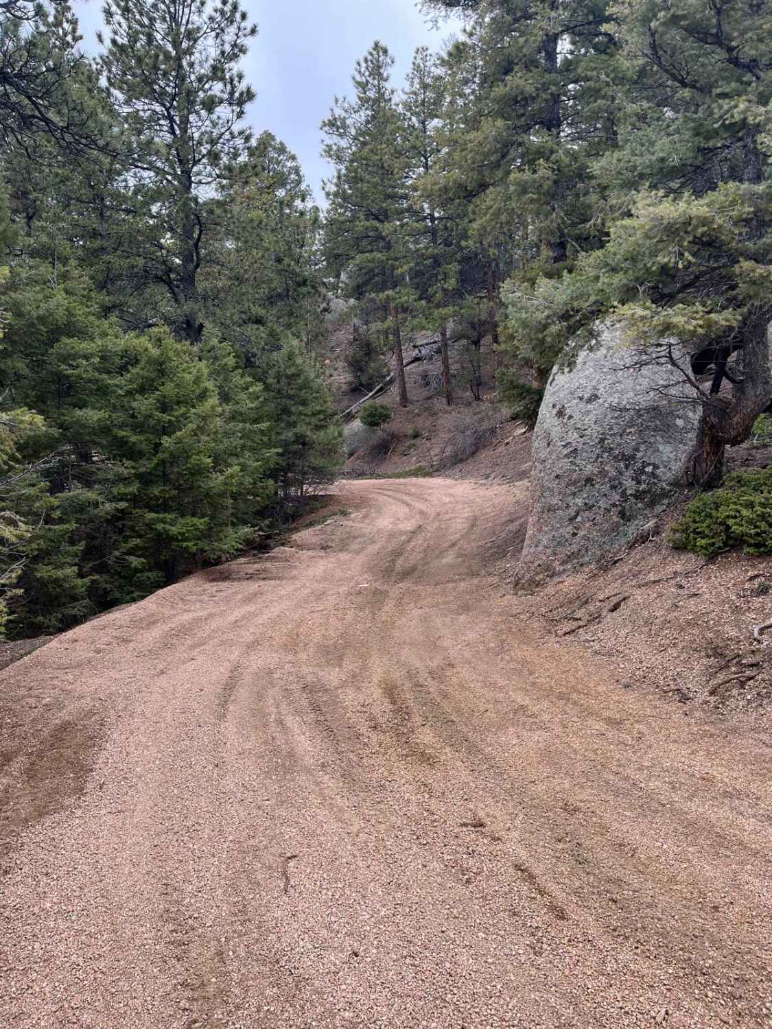
This great little trail offers much to explore. This trail branches off of Mt Herman Road and follows along the top of a ridge heading east. The majority of the trail is surrounded by a…
Learn more about Powerline East Road 318
Total Miles
4.0
Tech Rating
3 Easy
Best Time
Fall, Summer, Spring
Learn more about Powerline Wash Loop
Powerline Wash Loop

Powerline Wash Loop

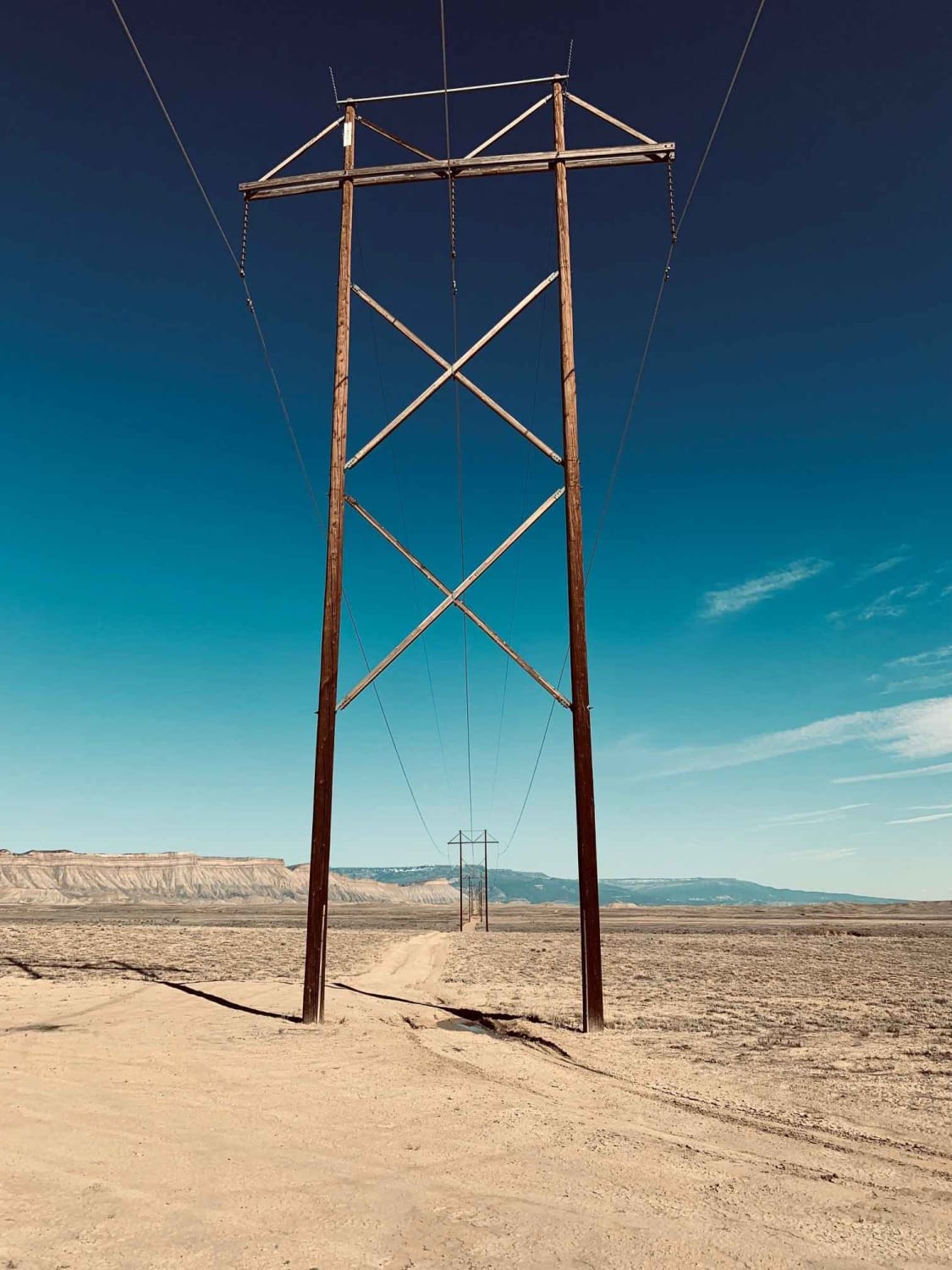
This sandy wash has fast tight banked turns and is a fun place to warm up before heading to other nearby trails. The wash is the first 1/4 of the loop with the remainder 6.5…
Learn more about Powerline Wash Loop
Total Miles
9.9
Tech Rating
4 Moderate
Best Time
Fall, Summer, Spring
Learn more about Pratt Creek
Pratt Creek

Pratt Creek

Pratt Creek is a scenic trail in the heart of Roosevelt National Forest just outside Livermore, CO. You'll traverse deep through a ponderosa pine forest on windy dirt and gravel roads with awe-inspiring sights and…
Learn more about Pratt Creek
Total Miles
11.1
Tech Rating
3 Easy
Best Time
Summer, Fall
Learn more about Pride of the West Tunnel
Pride of the West Tunnel

Pride of the West Tunnel

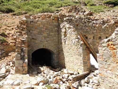
This has to be the best mine portal ever! Fantastic granite stonework with a capstone inscribed "Pride of the West 1880". A two-story hotel was beside the tunnel when it was in operation.Follow the North…
Learn more about Pride of the West Tunnel
Total Miles
12.2
Tech Rating
3 Easy
Best Time
Summer, Fall
Learn more about Prospect Gulch
Prospect Gulch

Prospect Gulch

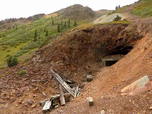
Prospect Gulch is by far the best of the four gulches in the valley. It has 3 spurs and each is unique. There is a building on the right side of the main road going…
Learn more about Prospect Gulch
Total Miles
3.6
Tech Rating
4 Moderate
Best Time
Fall, Summer
Learn more about Prospect Hill Rd (GH-38) to Sidewinder Rd (GH-35)
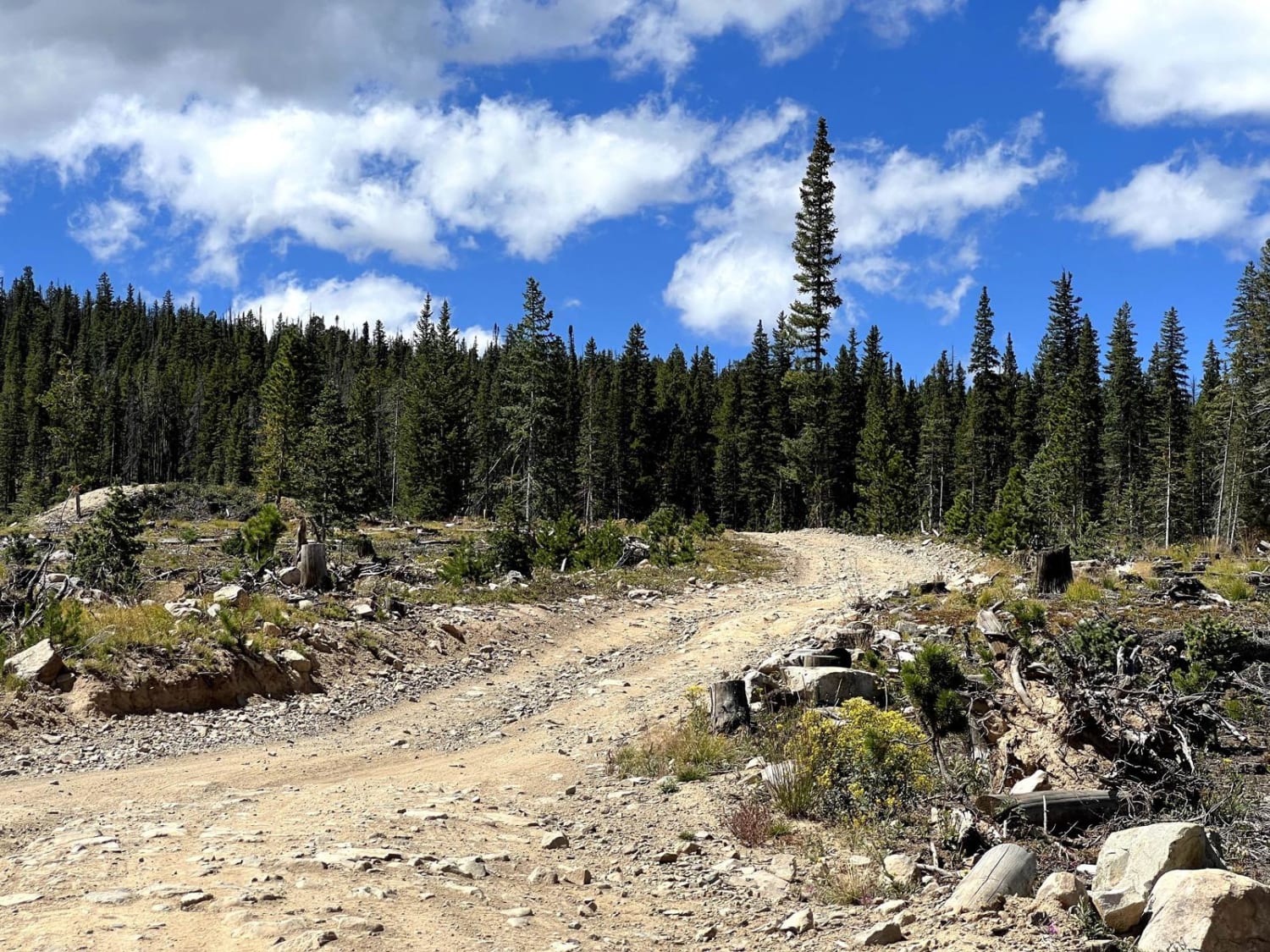
Prospect Hill Rd (GH-38) to Sidewinder Rd (GH-35)

Prospect Hill Rd (GH-38) to Sidewinder Rd (GH-35)

Prospect Hill Road (GH-38) is a rocky trail that connects Rock Island Road to Summit Gulch via Sidewinder Road (GH-35). It sits on top a small mountain that opens to a 360-degree view of the…
Learn more about Prospect Hill Rd (GH-38) to Sidewinder Rd (GH-35)
Total Miles
1.2
Tech Rating
2 Easy
Best Time
Spring, Summer, Fall
Learn more about Ptarmigan Pass
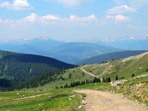
Ptarmigan Pass

Ptarmigan Pass

We like to do this Jeep trail clockwise with McAllister Pass starting over on Shrine Pass. The first half mile is in Wearyman Creek. Be careful if the water is high. Ptarmigan Pass spends a…
Learn more about Ptarmigan Pass
Total Miles
11.0
Tech Rating
3 Easy
Best Time
Summer, Fall
Learn more about Quakey Mountain
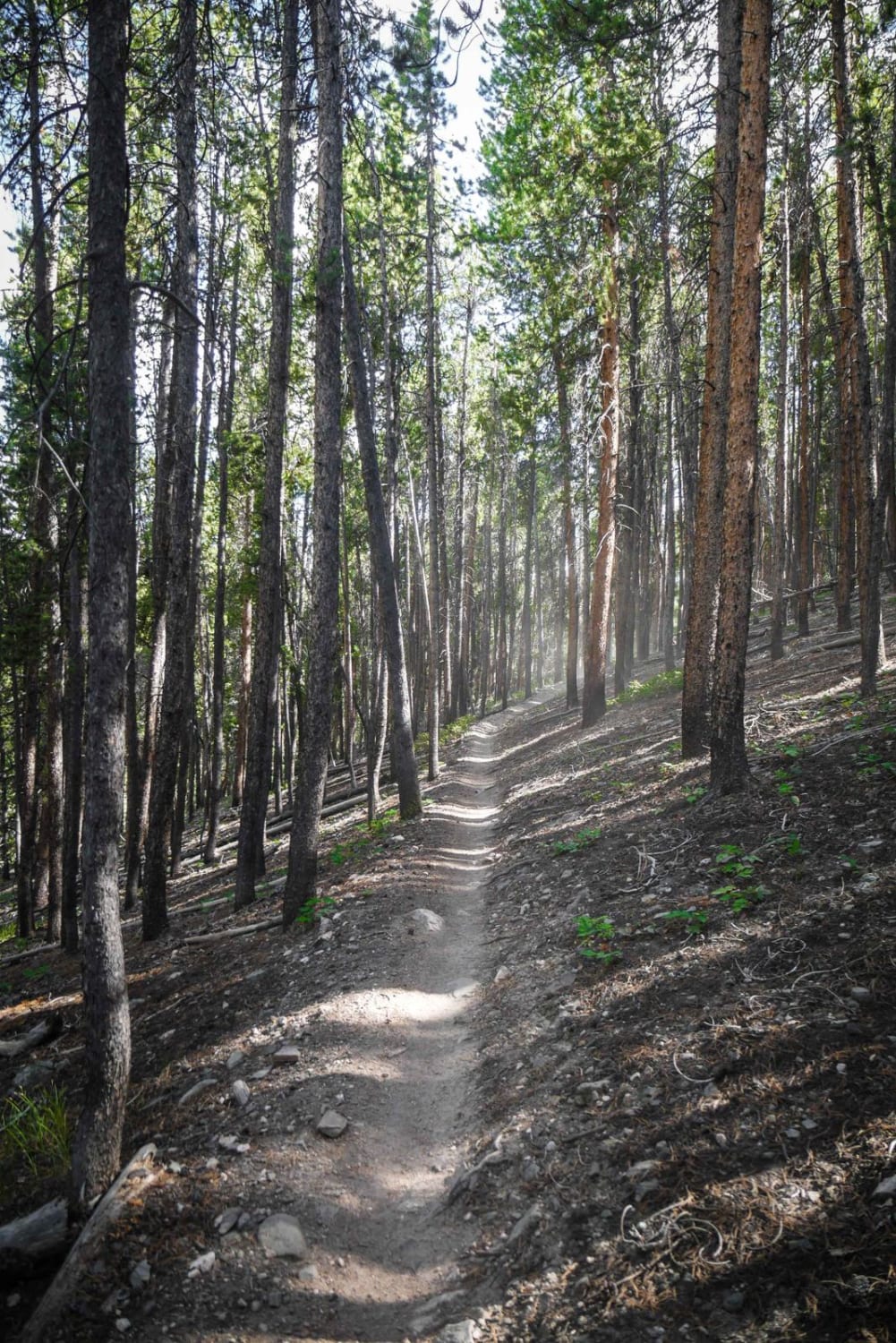
Quakey Mountain

Quakey Mountain

This 3.7-mile single track is mostly a rocky trail through a forest of tall pine trees near Sargents, Colorado. The north end starts out with a lot of small loose jagged rocks covering the surface…
Learn more about Quakey Mountain
Total Miles
3.5
Tech Rating
5 Moderate
Best Time
Fall, Summer

The onX Offroad Difference

onX Offroad combines trail photos, descriptions, difficulty ratings, width restrictions, seasonality, and more in a user-friendly interface. Available on all devices, with offline access and full compatibility with CarPlay and Android Auto. Discover what you’re missing today!