Off-Road Trails in Colorado

Discover off-road trails in Colorado

Learn more about Rollins Pass East
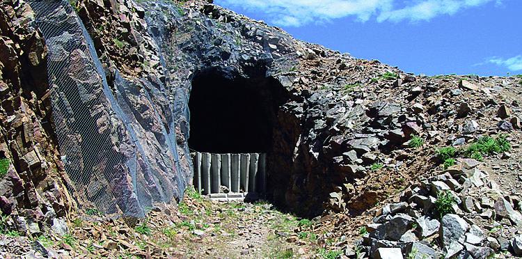
Rollins Pass East

Rollins Pass East

You'll find two lakes, breathtaking views and a fun hike on this old railroad route. Needle's Eye Tunnel is just a short hike from the trail. Park and camp south of the trailhead. There are…
Learn more about Rollins Pass East
Total Miles
12.7
Tech Rating
3 Easy
Best Time
Summer, Fall
Learn more about Rollins Pass West
Rollins Pass West

Rollins Pass West

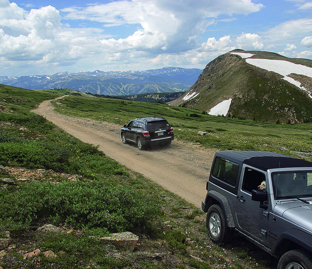
A beautiful, easy drive through thick trees. You'll eventually rise above the timberline and get an amazing view of Winter Park Ski Area as well as some gorgeous mountain lakes. If you want to continue…
Learn more about Rollins Pass West
Total Miles
15.3
Tech Rating
2 Easy
Best Time
Summer, Fall
Learn more about Roubideau Jeep Trail
Roubideau Jeep Trail

Roubideau Jeep Trail

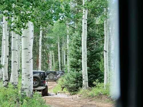
This is a 12-mile loop trail off Divide Road beginning 30 miles from Montrose. We did this trail by following a fence line up the east leg to join the original Roubideau Jeep Trail. We…
Learn more about Roubideau Jeep Trail
Total Miles
12.4
Tech Rating
3 Easy
Best Time
Summer, Fall
Learn more about Rough Canyon
Rough Canyon

Rough Canyon

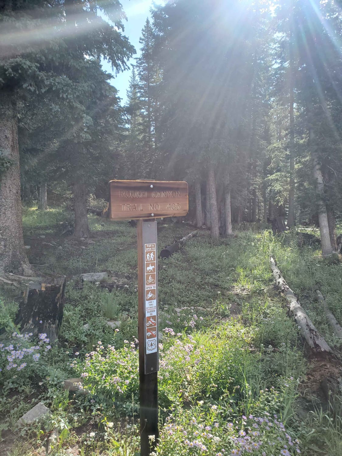
This singletrack trail for hike/horse/bike/motorcycles is accessible in the downhill direction Hillside Drive to Roaring Fork or in the uphill direction from Roaring Fork to Hillside Drive. This is a steep singletrack trail with lots…
Learn more about Rough Canyon
Total Miles
4.3
Tech Rating
7 Difficult
Best Time
Summer, Fall
Learn more about Round Mountain Road Forest Road 225
Round Mountain Road Forest Road 225

Round Mountain Road Forest Road 225

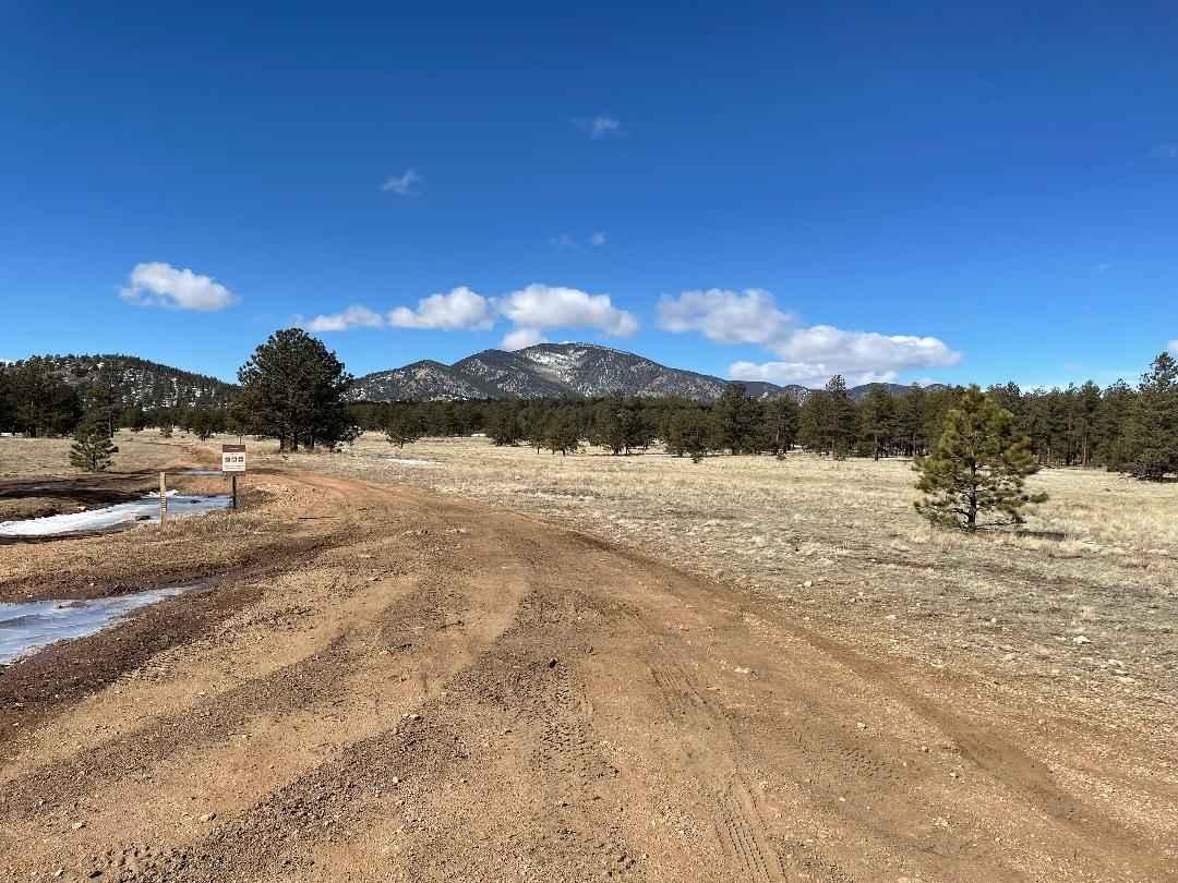
This road is easy when dry but can be real muddy when wet. Watch out for logging operations and trucks on the first part of road. Once on top, you are in open meadows and…
Learn more about Round Mountain Road Forest Road 225
Total Miles
4.8
Tech Rating
2 Easy
Best Time
Spring, Summer, Fall, Winter
Learn more about Ruby Mine Trail
Ruby Mine Trail

Ruby Mine Trail

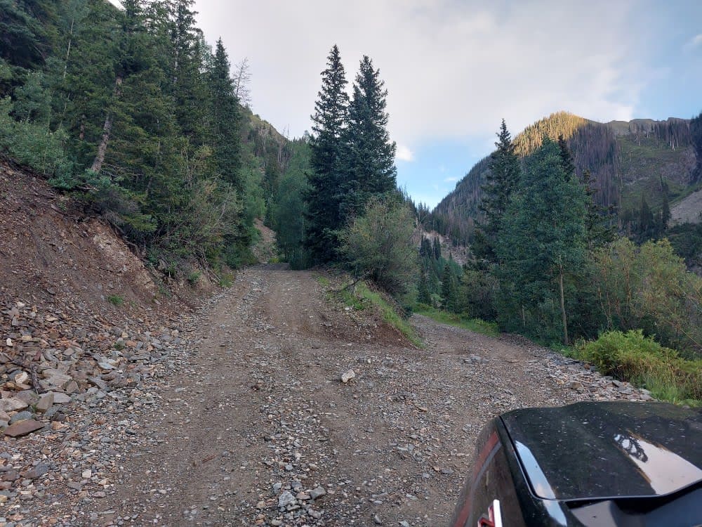
A short out and back to the old Ruby Mine. This is the best way to view the waterfall up close. A small water crossing and small turnaround are the main obstacles to negotiate. If…
Learn more about Ruby Mine Trail
Total Miles
0.3
Tech Rating
5 Moderate
Best Time
Summer, Fall, Spring
Learn more about Rule Ridge
Rule Ridge

Rule Ridge

There are so many trails in this area, you could take a whole week and never run out of things to do. A lot of camping spots big enough for RVs and camp trailers are…
Learn more about Rule Ridge
Total Miles
13.6
Tech Rating
4 Moderate
Best Time
Summer, Fall
Learn more about Saddle Up
Saddle Up

Saddle Up

Saddle Up is a 50-inch trail most accessible from the Bangs Canyon Trailhead. This trail seems to see less usage than others in the area. If you're out in the offseason or on a weekday,…
Learn more about Saddle Up
Total Miles
6.0
Tech Rating
5 Moderate
Best Time
Spring, Summer, Fall, Winter
Learn more about Saints John
Saints John

Saints John

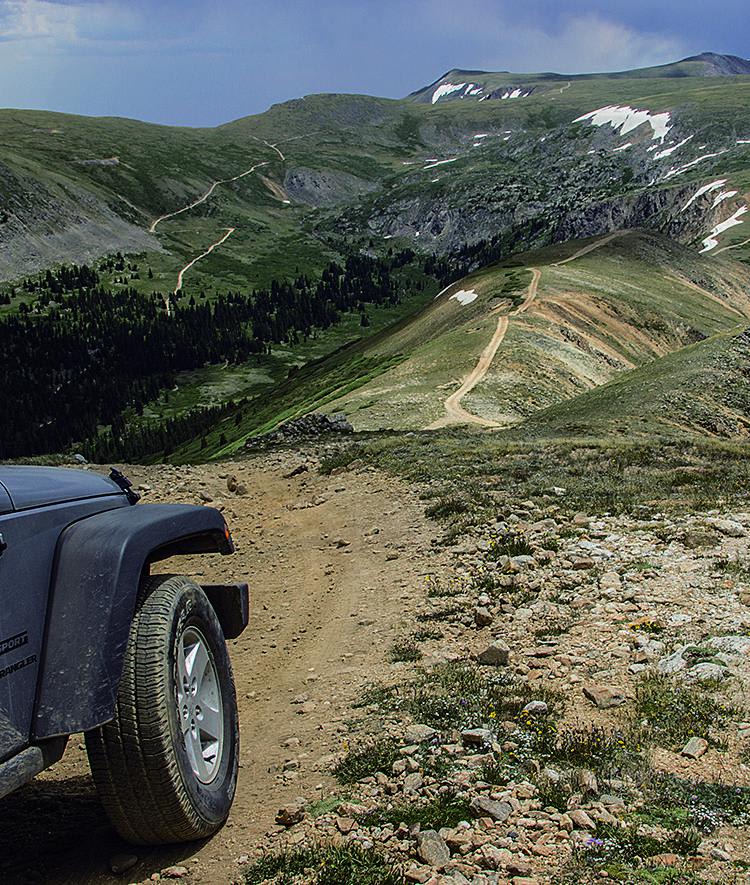
There are a lot of different activities offered on this cool trail. Take in the views, see mountain goats, visit historic buildings, hike or just relax in an amazing setting. There is a large network…
Learn more about Saints John
Total Miles
6.4
Tech Rating
5 Difficult
Best Time
Summer, Fall
Learn more about Salt Creek Forest Road 409
Salt Creek Forest Road 409

Salt Creek Forest Road 409

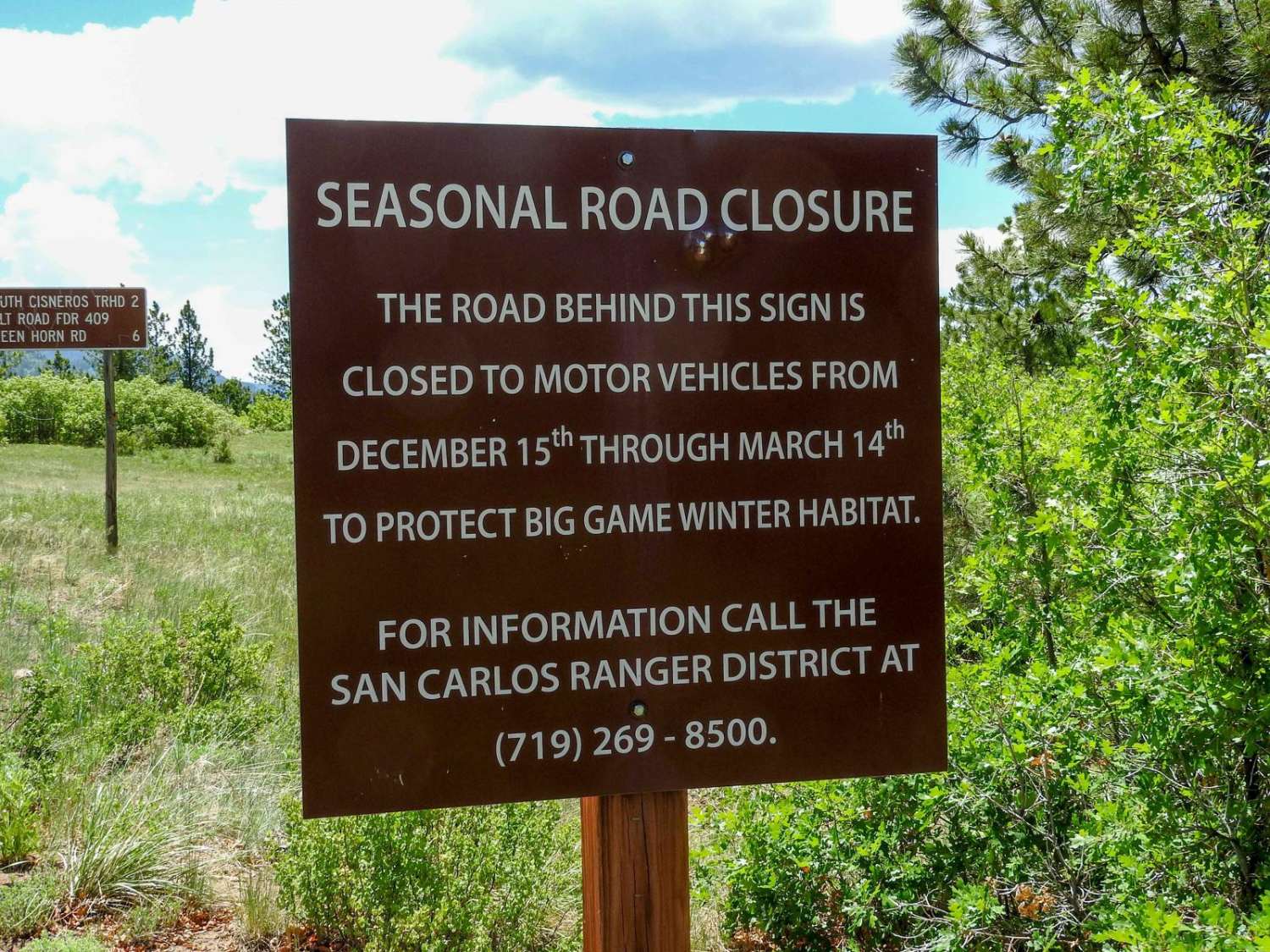
At this point, the road changes from an east road to more of a 4x4 road. It becomes steeper, narrower, and more rocky at the beginning. As you get higher up, it levels out some…
Learn more about Salt Creek Forest Road 409
Total Miles
4.3
Tech Rating
4 Moderate
Best Time
Spring, Summer, Fall
Learn more about Salt Creek Road
Salt Creek Road

Salt Creek Road

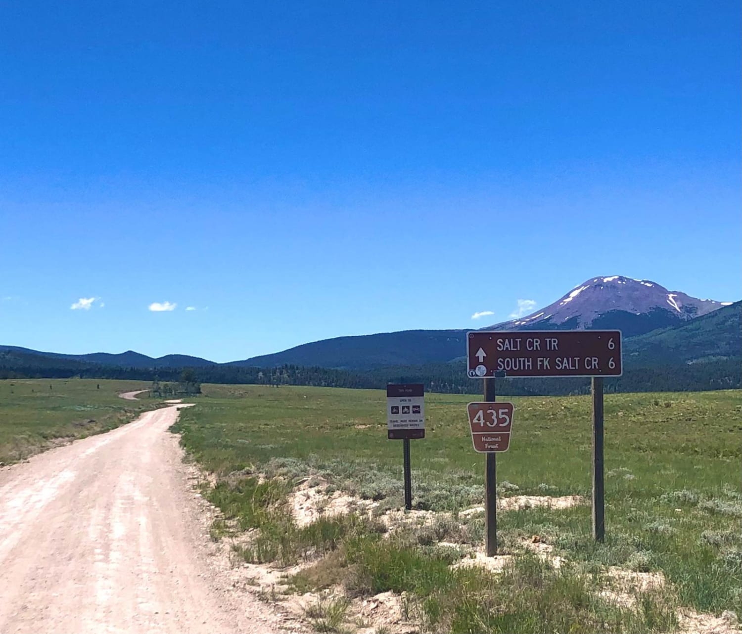
Salt Creek Road is directly accessed from Highway 285. It is a 2-way gravel road that partially follows Salt Creek, until the Y where it turns toward the wilderness area and becomes a single-lane, very…
Learn more about Salt Creek Road
Total Miles
6.5
Tech Rating
2 Easy
Best Time
Spring, Summer, Fall
Learn more about San Juan 99
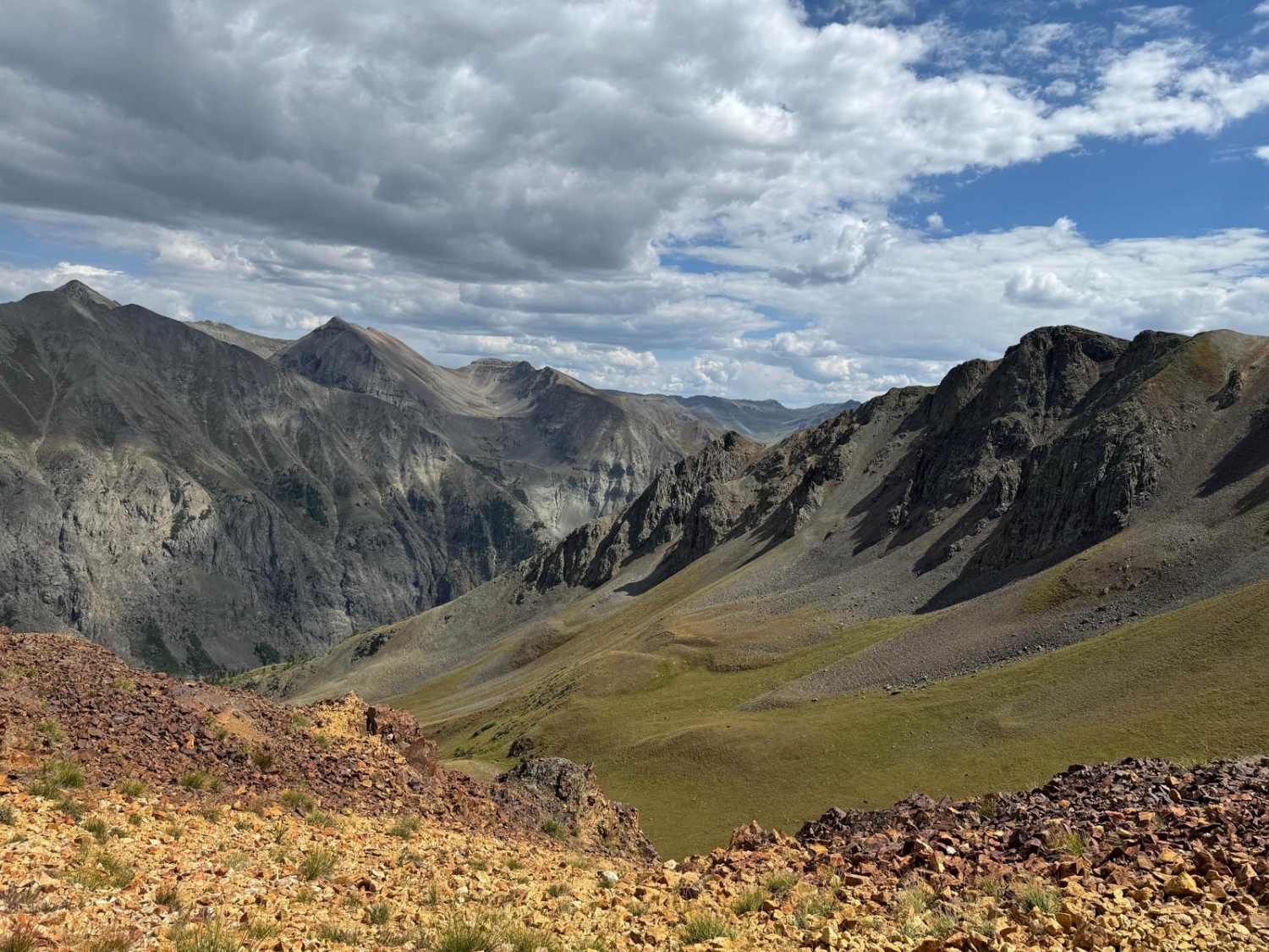
San Juan 99

San Juan 99

San Juan 99 is a captivating county road nestled off Picayune and Placer Gulches. This scenic route promises an adventurous journey through rugged terrain and historical landmarks. One of the intriguing highlights along the way…
Learn more about San Juan 99
Total Miles
2.4
Tech Rating
5 Moderate
Best Time
Summer, Fall
Learn more about San Juan Queen Mine
San Juan Queen Mine

San Juan Queen Mine

Nestled in the heart of the San Juan Mountains, this gravel road offers an adventurous journey to an impressive peak elevation of 11,960 feet. As you traverse this high-altitude path, you'll encounter a fascinating sight:…
Learn more about San Juan Queen Mine
Total Miles
1.2
Tech Rating
5 Moderate
Best Time
Summer, Fall
Learn more about Sand Gulch to The Banks
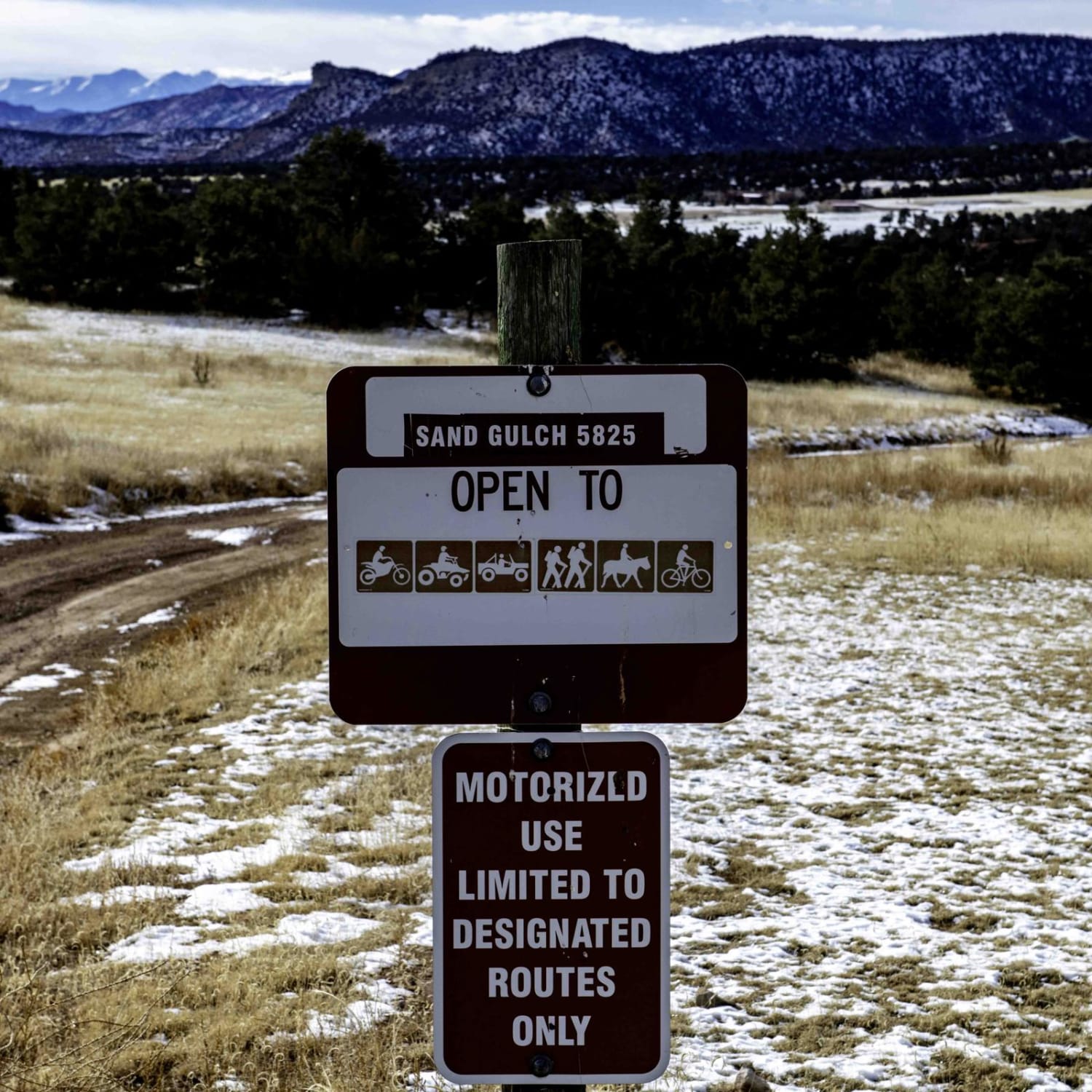
Sand Gulch to The Banks

Sand Gulch to The Banks

From the Sand Gulch Trailhead, the road starts out easy for the first mile then turns rocky with larger rocks and ruts. In winter time it is best to travel from Sand Gulch Trailhead to…
Learn more about Sand Gulch to The Banks
Total Miles
5.9
Tech Rating
6 Moderate
Best Time
Spring, Summer, Fall, Winter
Learn more about Sand Mountain
Sand Mountain

Sand Mountain

This is a loop that features an optional hike to the very top of Sand Mountain at 10,863 feet. It's worth the extra effort. You'll love the panoramic views. There are some nice spots to…
Learn more about Sand Mountain
Total Miles
10.5
Tech Rating
5 Moderate
Best Time
Summer
Learn more about Sandbench-Fr Rd 642
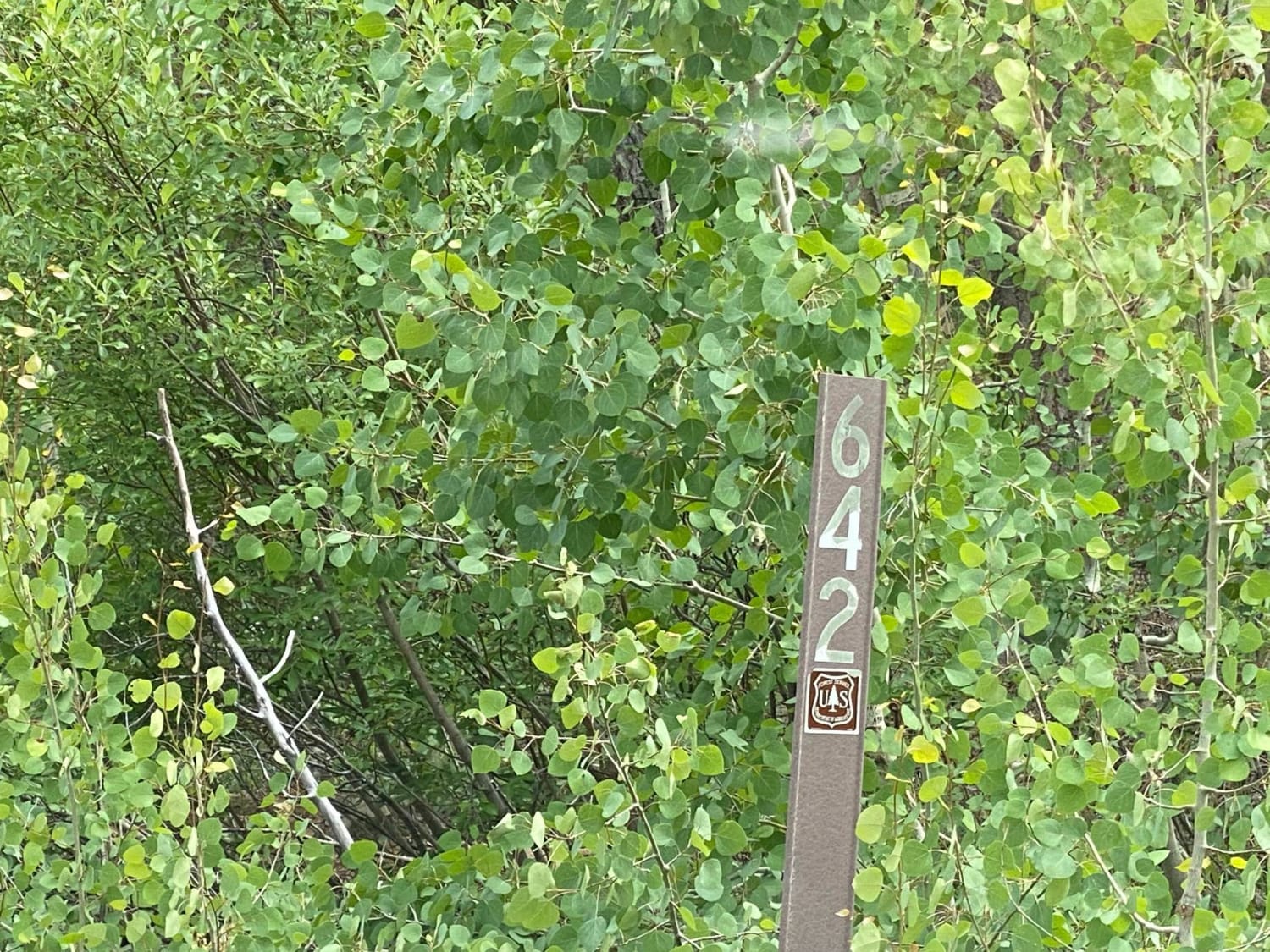
Sandbench-Fr Rd 642

Sandbench-Fr Rd 642

Sandbench road branches off of Piedra road up on top of the ridge. There are a few disturbed primitive campsites. There were several signs marking sale boundaries, so will probably be some logging operations in…
Learn more about Sandbench-Fr Rd 642
Total Miles
2.4
Tech Rating
2 Easy
Best Time
Spring, Summer, Fall
Learn more about Sandwash Basin
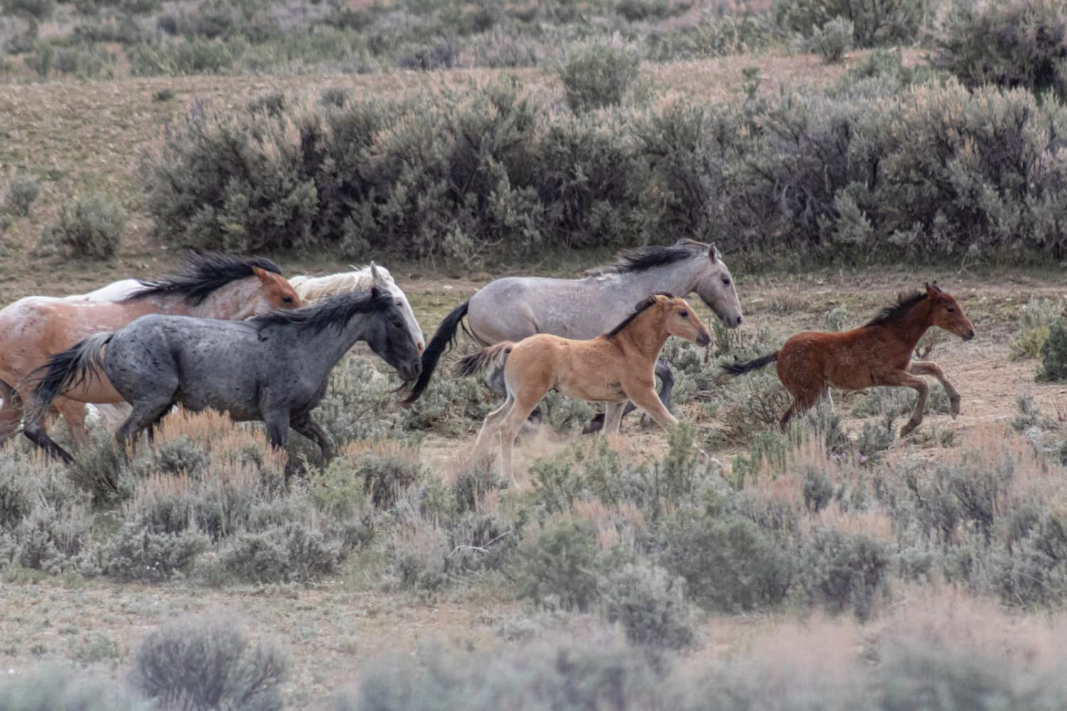
Sandwash Basin

Sandwash Basin

This area is BLM land and the home to some 600 wild horses with a loop through the heart of their land. Many view this loop as a single day or afternoon drive to see…
Learn more about Sandwash Basin
Total Miles
30.6
Tech Rating
2 Easy
Best Time
Spring, Summer, Fall
Learn more about Sandy Wash
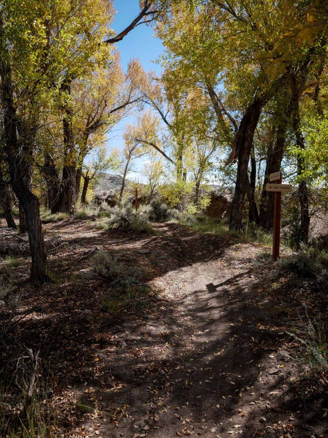
Sandy Wash

Sandy Wash

Sandy Wash is an easy and fast trail through sagebrush mesas and sandy washes. It starts off on the dirt road right near the Terrain Park. It starts out really wide and easy and comes…
Learn more about Sandy Wash
Total Miles
0.7
Tech Rating
2 Easy
Best Time
Spring, Summer, Fall
Learn more about Santa Fe Peak
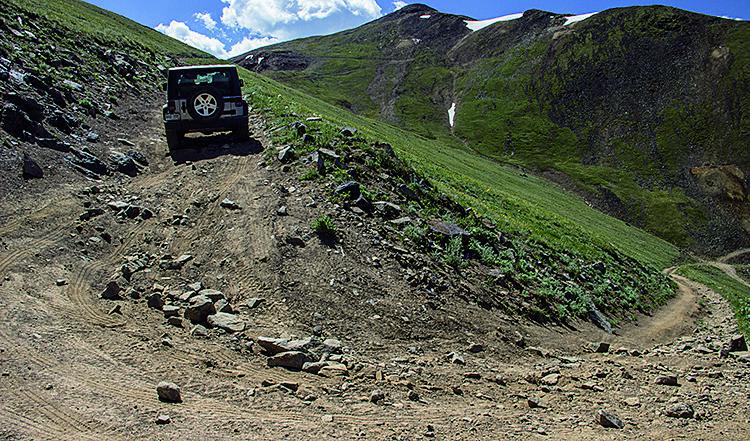
Santa Fe Peak

Santa Fe Peak

A fantastic 360 degree view is the reward at the top of this fun trail. You can see Breckenridge, Grays Peak, Peru Creek, Webster Pass and Radical hill from here. Unlicensed vehicles are not permitted.…
Learn more about Santa Fe Peak
Total Miles
4.7
Tech Rating
4 Moderate
Best Time
Summer, Fall
Learn more about Santa Fe Trail
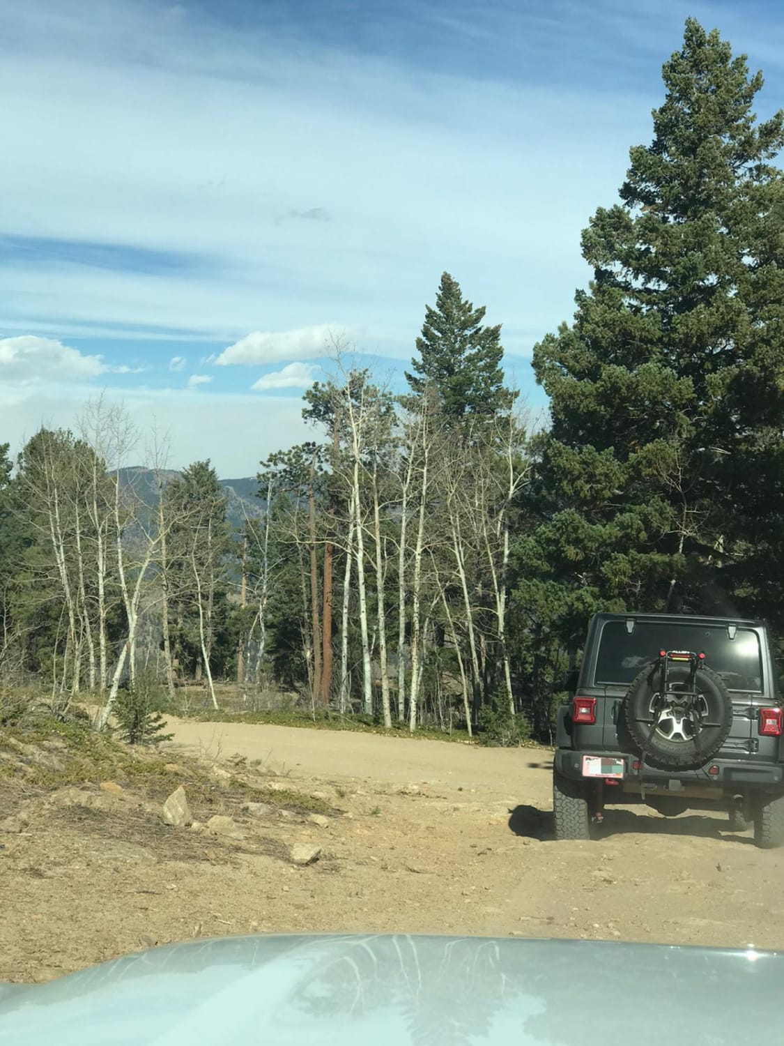
Santa Fe Trail

Santa Fe Trail

This is an easy, one-way trail with a few places to pass and some rocky and washed-out sections. You'll find a handful of dispersed campsites and great views of Idaho Springs. The end of the…
Learn more about Santa Fe Trail
Total Miles
4.1
Tech Rating
3 Easy
Best Time
Spring, Summer, Fall, Winter

The onX Offroad Difference

onX Offroad combines trail photos, descriptions, difficulty ratings, width restrictions, seasonality, and more in a user-friendly interface. Available on all devices, with offline access and full compatibility with CarPlay and Android Auto. Discover what you’re missing today!