Off-Road Trails in Colorado

Discover off-road trails in Colorado

Learn more about Snow Mesa Trail
Snow Mesa Trail

Snow Mesa Trail

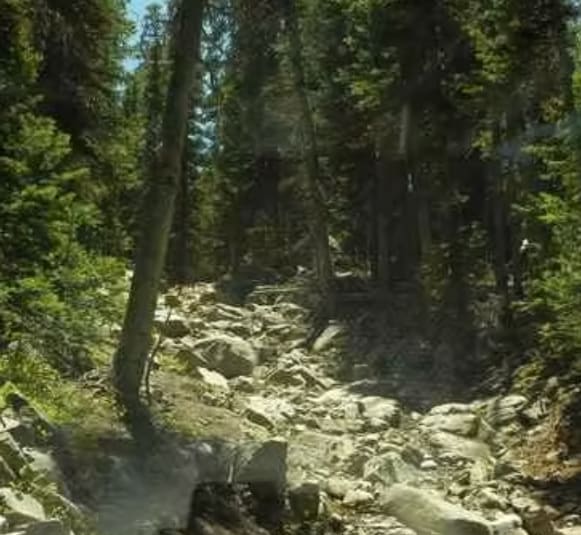
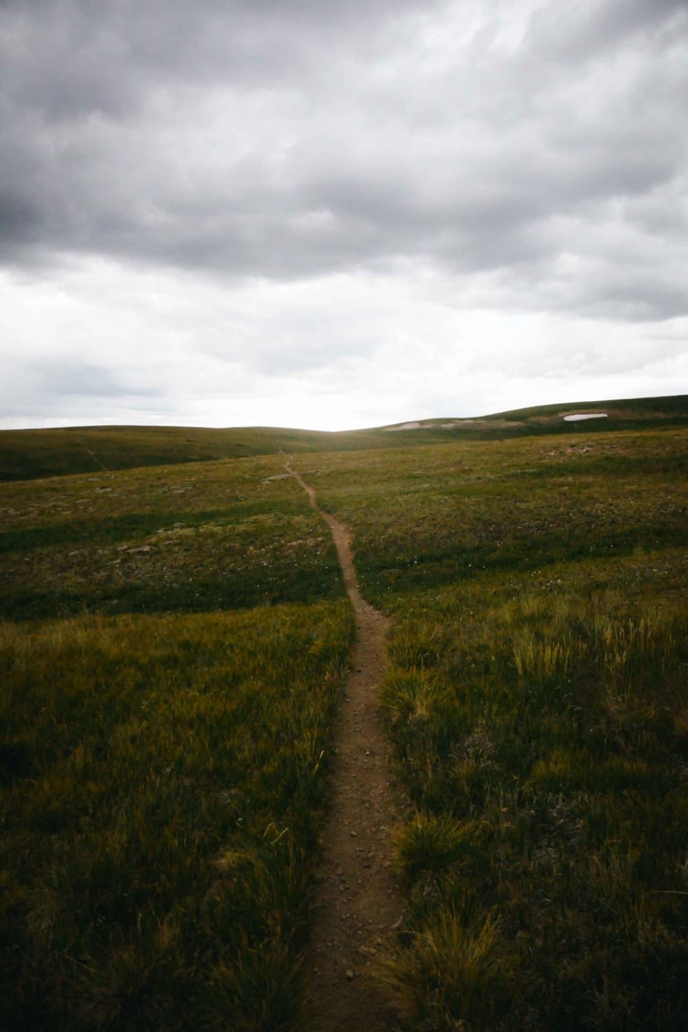
The Snow Mesa single track starts at 12,000 feet up on a flat mesa in the tundra. The east end of the trail is not very rocky and is pretty smooth dirt. It's a very…
Learn more about Snow Mesa Trail
Total Miles
5.0
Tech Rating
7 Difficult
Best Time
Summer
Learn more about Soap Creek FR 721
Soap Creek FR 721

Soap Creek FR 721

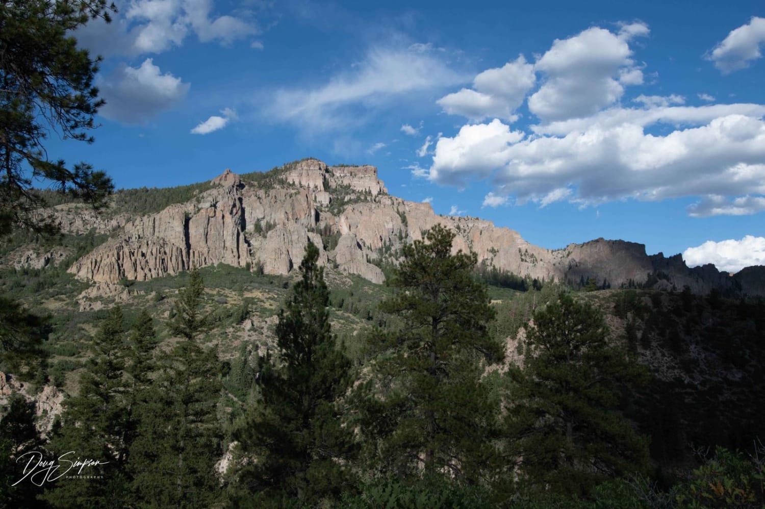
At mile 11 starting from Highway 92, the road starts getting harder. At this point, you start up a steep hill that has loose rocks and can be challenging especially if it is wet. Once…
Learn more about Soap Creek FR 721
Total Miles
10.3
Tech Rating
4 Moderate
Best Time
Spring, Summer, Fall
Learn more about SOB Hill
SOB Hill

SOB Hill

This Jeep trail is named after the difficult obstacle at the bottom of the climb up from the Middle Fork of Swan River to Georgia Pass and Glacier Ridge. The obstacle is about 150 yards…
Learn more about SOB Hill
Total Miles
4.8
Tech Rating
5 Moderate
Best Time
Summer, Fall
Learn more about Sound Democrat Mill
Sound Democrat Mill

Sound Democrat Mill

The journey to the Sound Democrat Mill is indeed steeped in history, offering a fascinating glimpse into the past. Nestled at the bottom of a picturesque valley, the mill stands as a testament to the…
Learn more about Sound Democrat Mill
Total Miles
0.4
Tech Rating
2 Easy
Best Time
Summer, Fall
Learn more about South Calico
South Calico

South Calico

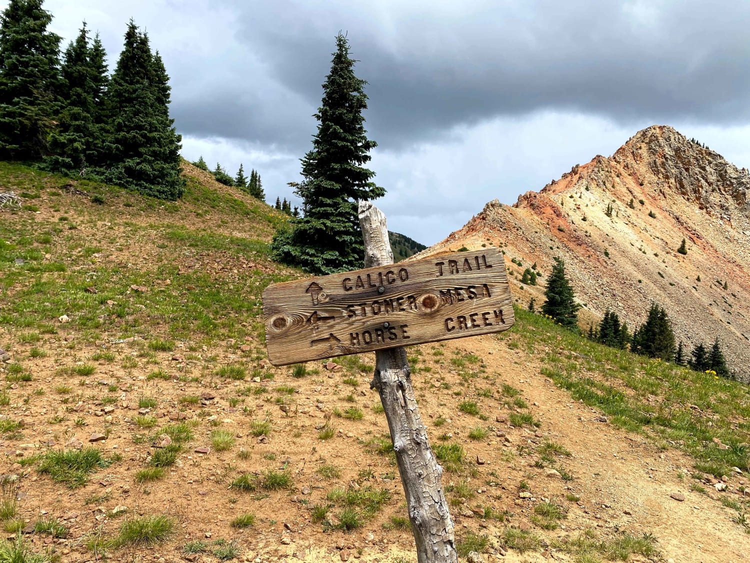
From the trailhead off of HWY 145, the trail starts an immediate climb up a gnarly tight single track that is riddled with roots, rocks, and boulders. The trail climbs constantly up towards Calico Peak.…
Learn more about South Calico
Total Miles
33.5
Tech Rating
8 Difficult
Best Time
Summer
Learn more about South Cottonwood Road CR 344
South Cottonwood Road CR 344

South Cottonwood Road CR 344

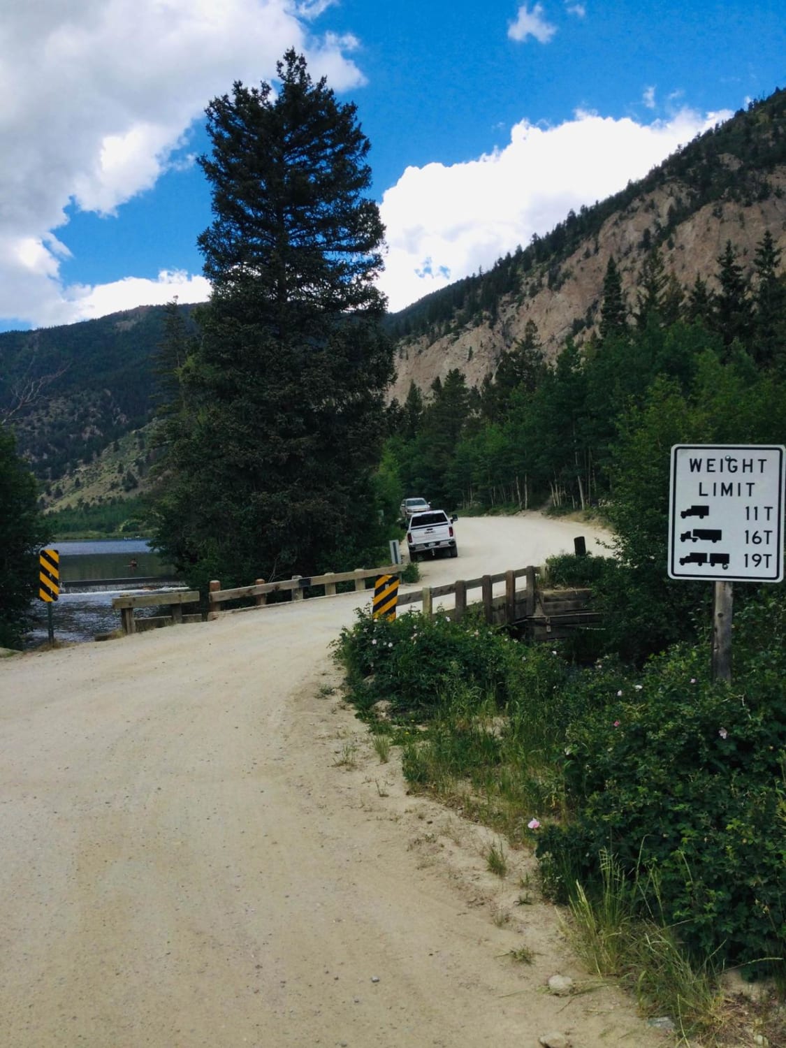
South Cottonwood Road is a maintained county road that leads to the popular Cottonwood Lake and the Cottonwood Lake Campground and Cabins. The road follows South Cottonwood Creek past the campgrounds then narrows and becomes…
Learn more about South Cottonwood Road CR 344
Total Miles
11.3
Tech Rating
3 Easy
Best Time
Spring, Summer, Fall
Learn more about South Derby Creek
South Derby Creek

South Derby Creek

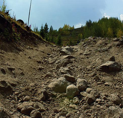
Buckle up for a long, challenging and bumpy ride up to beautiful views and high mountain lakes. Spend a few days to camp and explore. The start of the trail may get busy on the…
Learn more about South Derby Creek
Total Miles
11.5
Tech Rating
8 Difficult
Best Time
Summer, Fall
Learn more about South Divide
South Divide

South Divide

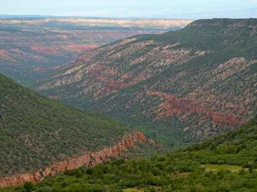
This is a series of well-graded or slightly bumpy roads that will take you from Ridgway to Olathe over the Uncompaghre Plateau. The south part has vast views of open ranchland, the center is in…
Learn more about South Divide
Total Miles
84.1
Tech Rating
1 Easy
Best Time
Spring, Summer, Fall
Learn more about South Elephant Ridge
South Elephant Ridge

South Elephant Ridge

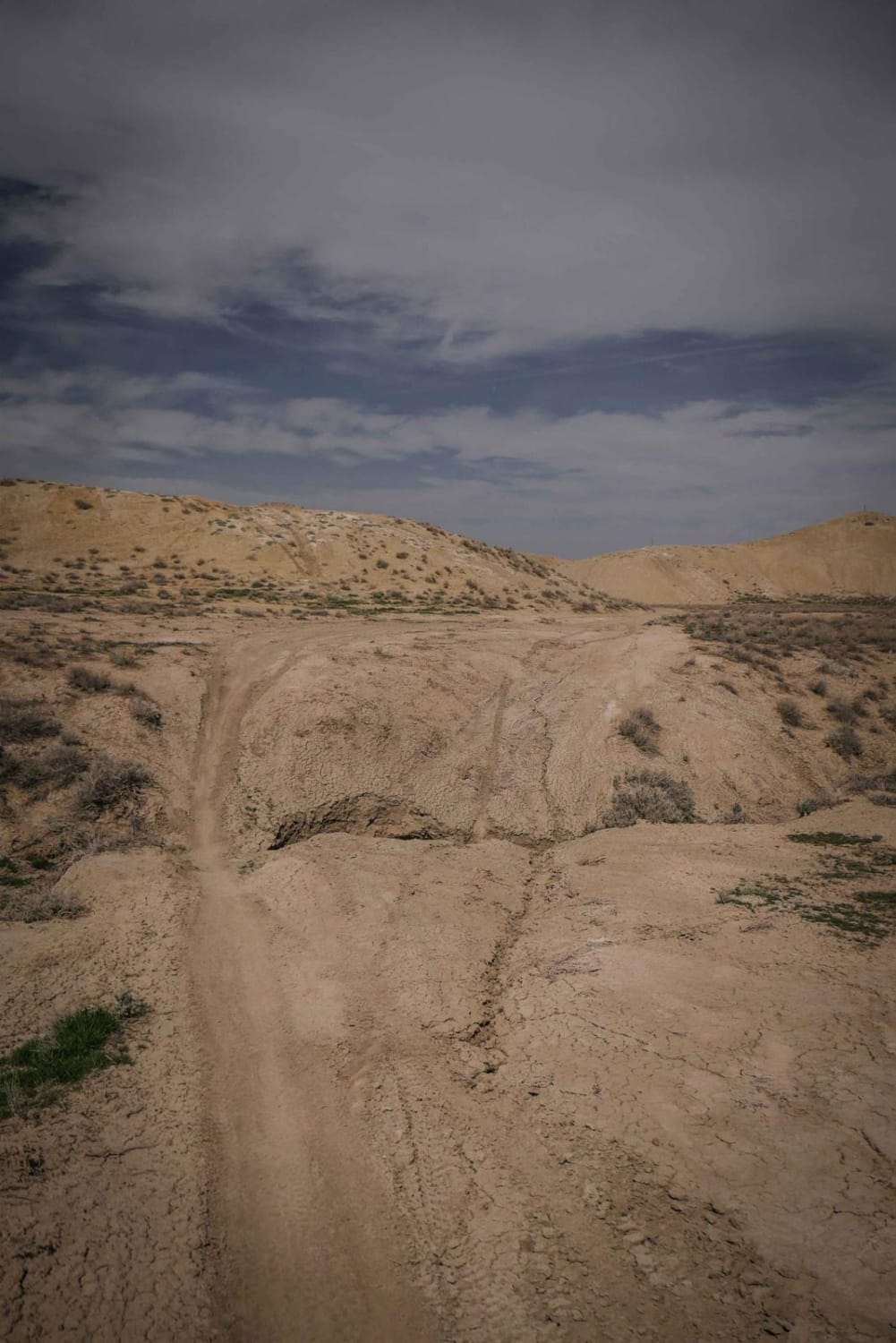
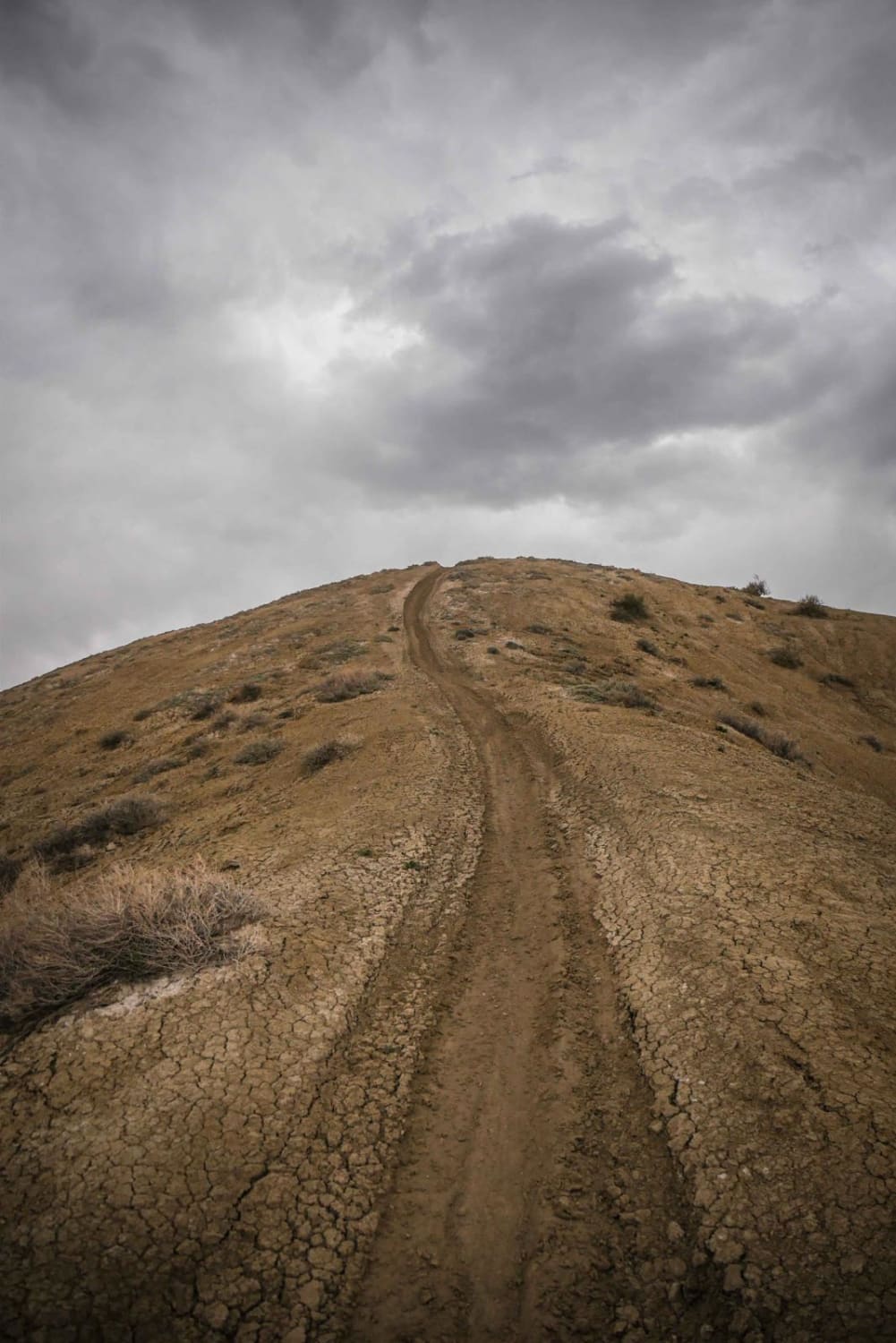
South Elephant Ridge is a single track in the Flat Top - Peach Valley Recreation Area that follows a skinny ridge line on top of adobe clay hills. Like most of the trails in the…
Learn more about South Elephant Ridge
Total Miles
1.0
Tech Rating
3 Easy
Best Time
Fall, Spring
Learn more about South Fork Animas Trailhead
South Fork Animas Trailhead

South Fork Animas Trailhead

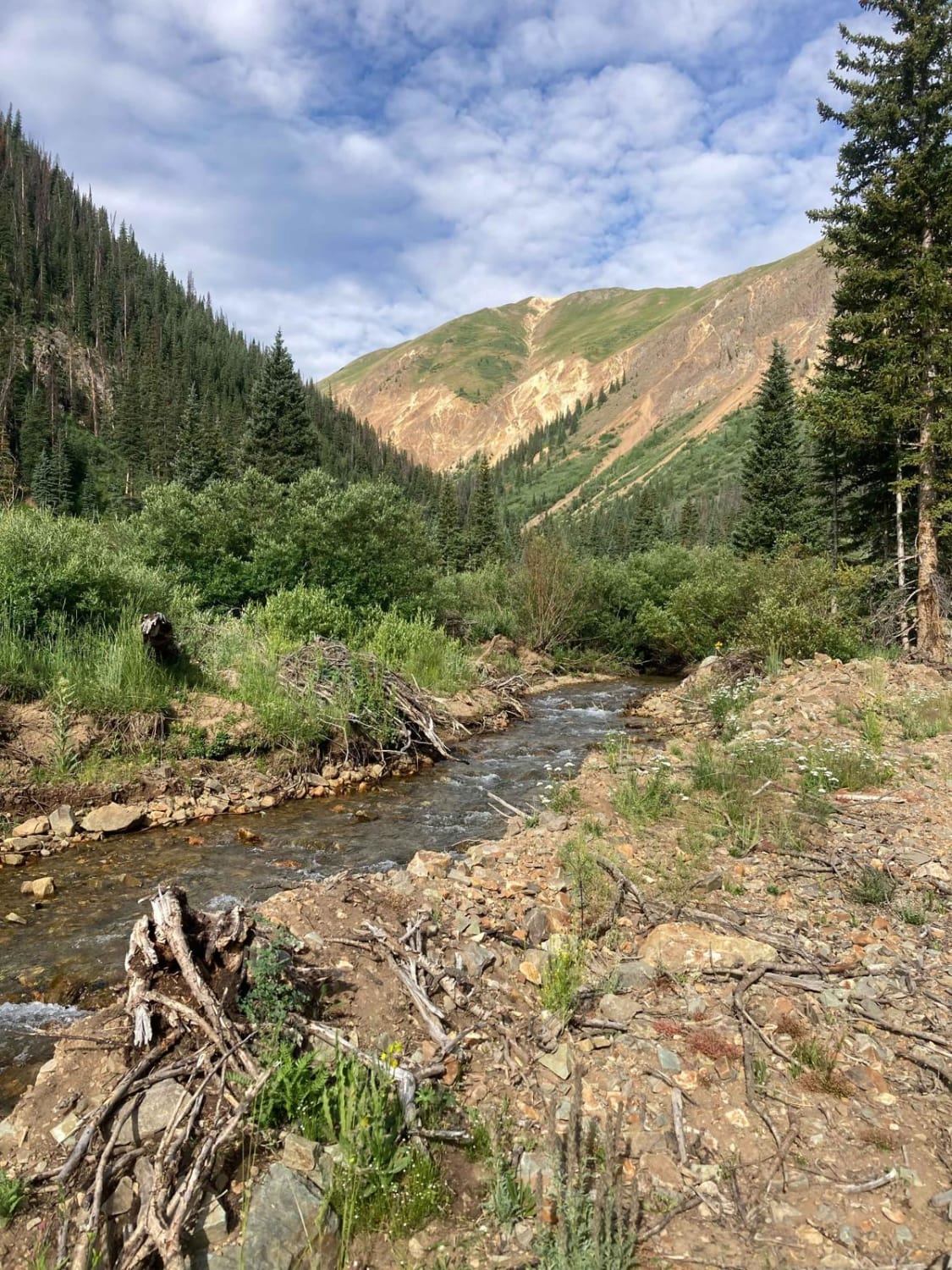
This is a short spur through a private area down to the South Fork Animas River. The road ends at a gate, short of what the Motor Vehicle Use Map shows, to keep traffic out…
Learn more about South Fork Animas Trailhead
Total Miles
0.5
Tech Rating
1 Easy
Best Time
Spring, Summer
Learn more about South Fork Ilium Road
South Fork Ilium Road

South Fork Ilium Road

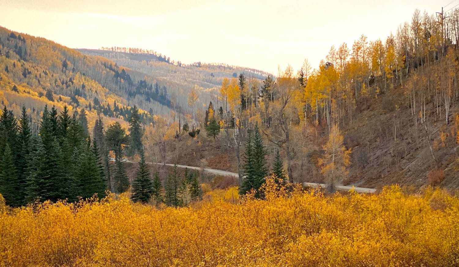
South Fork Ilium Rd, Cty Rd 63L connects to US 145 opposite the Ophir Pass trail. If you have just come down off Ophir, this road allows for some day use spots for respite and…
Learn more about South Fork Ilium Road
Total Miles
6.0
Tech Rating
1 Easy
Best Time
Spring, Summer, Fall
Learn more about South Landfill Ridge
South Landfill Ridge

South Landfill Ridge

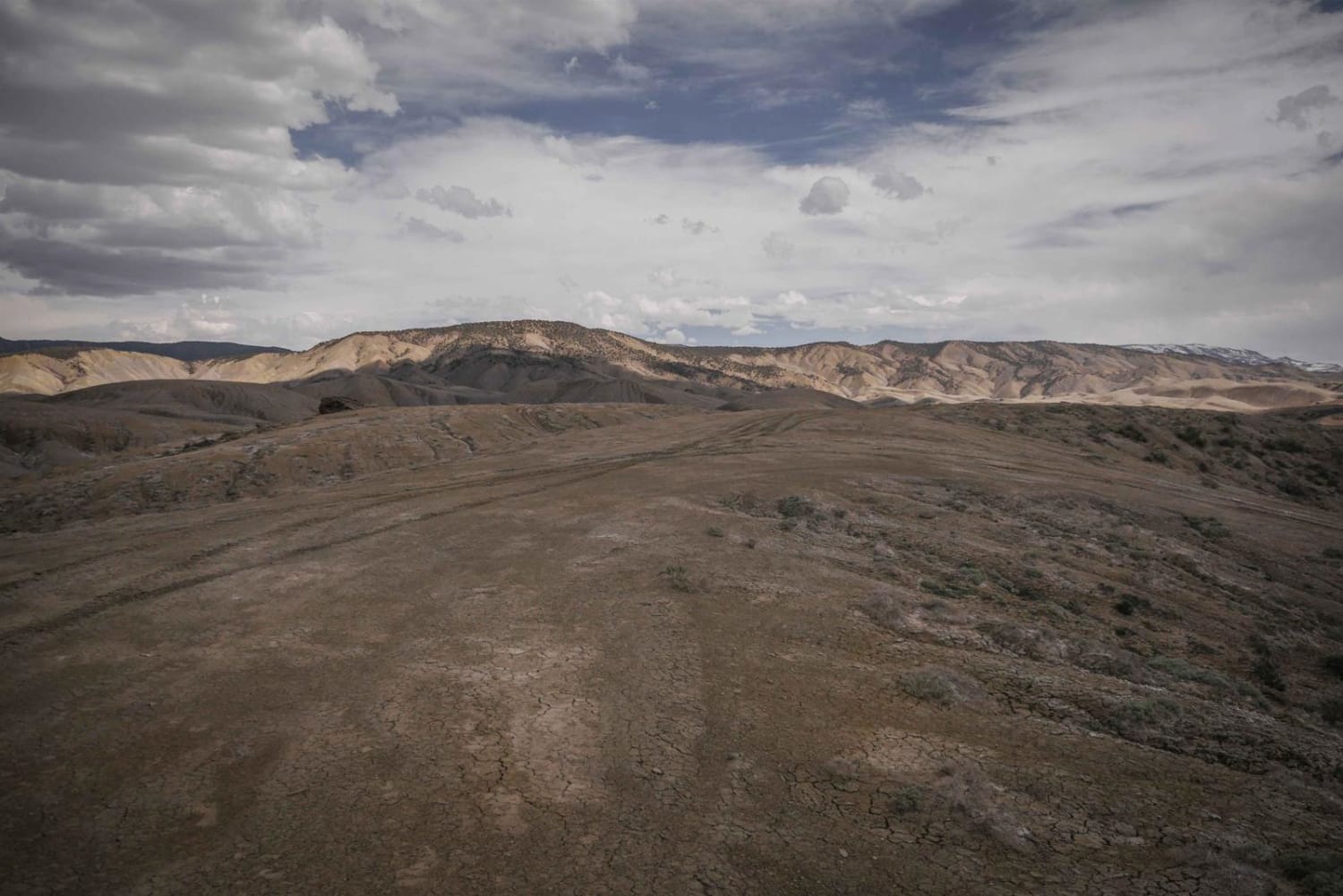
This unmarked trail is part of the trail system in the adobe badlands outside of Montrose, Colorado. This trail is fainter and less ridden than some of the ridge line trails closer to the staging…
Learn more about South Landfill Ridge
Total Miles
5.0
Tech Rating
3 Easy
Best Time
Fall, Spring
Learn more about South Mineral Road
South Mineral Road

South Mineral Road

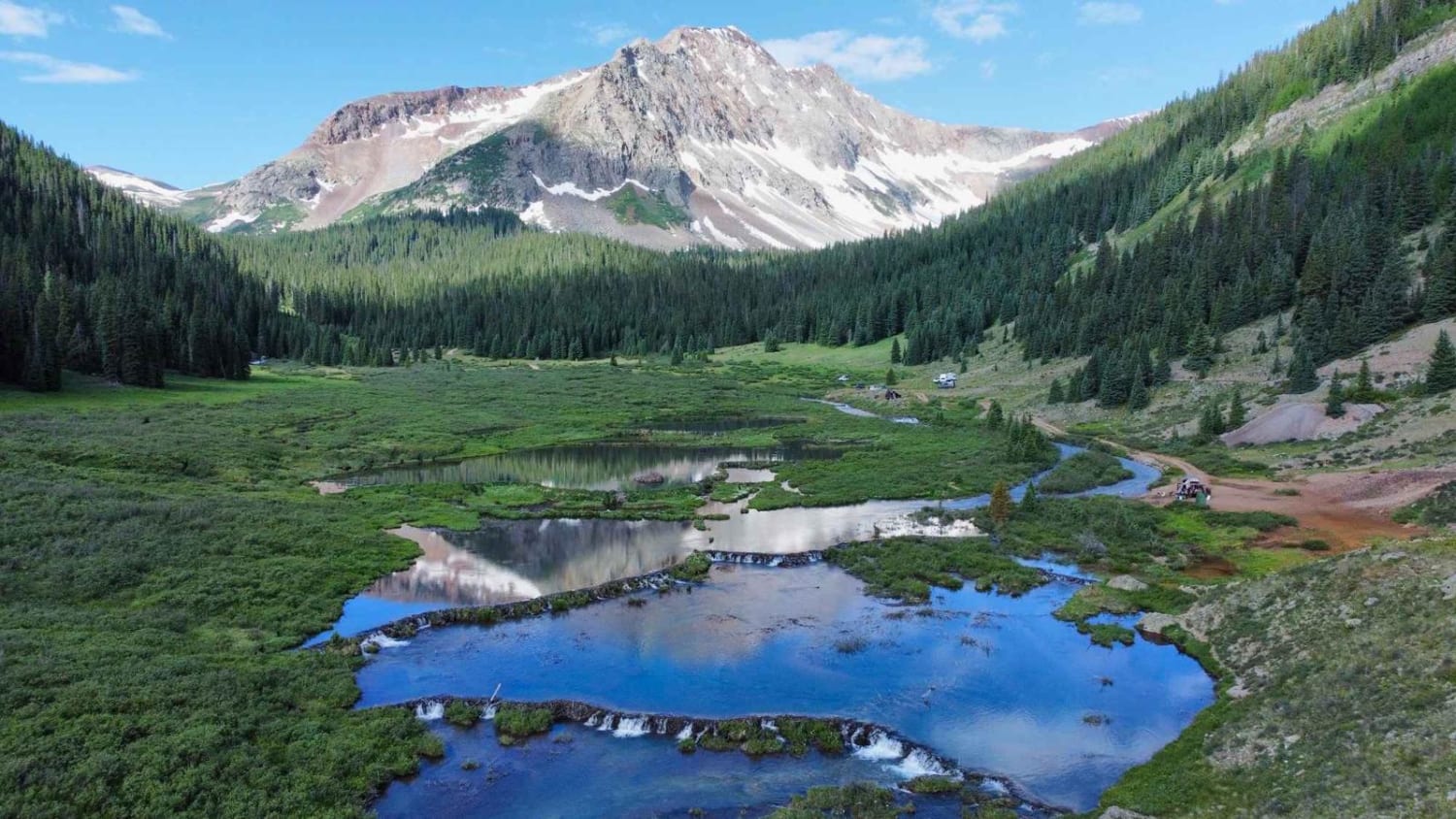
This is an easy trail outside Silverton, CO. This trail takes you through Copper Gulch on the North end and ascends as you go south into the Rolling Mountain Valley. The trail is a dirt…
Learn more about South Mineral Road
Total Miles
6.8
Tech Rating
3 Easy
Best Time
Summer, Fall
Learn more about South Mosquito Road FS 696
South Mosquito Road FS 696

South Mosquito Road FS 696

South Mosquito Road is the other route below Mosquito Pass to the London Mine, versus the New London Mine on the better-known Mosquito Pass. Numerous other named mines are in the basin. The road is…
Learn more about South Mosquito Road FS 696
Total Miles
4.1
Tech Rating
2 Easy
Best Time
Summer
Learn more about South Porcupine Trail
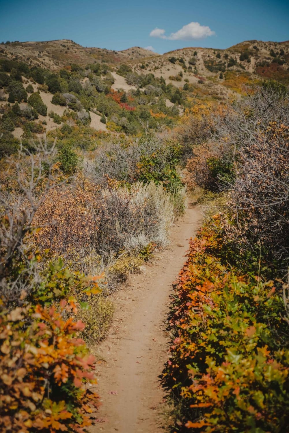
South Porcupine Trail

South Porcupine Trail

This is a 1.3-mile-long easy single track that goes along the rim of a mountain the whole way. It's really smooth, with rocks pushed to the side of the trail. There isn't much exposure because…
Learn more about South Porcupine Trail
Total Miles
1.2
Tech Rating
2 Easy
Best Time
Summer, Spring, Fall
Learn more about South Quartz
South Quartz

South Quartz

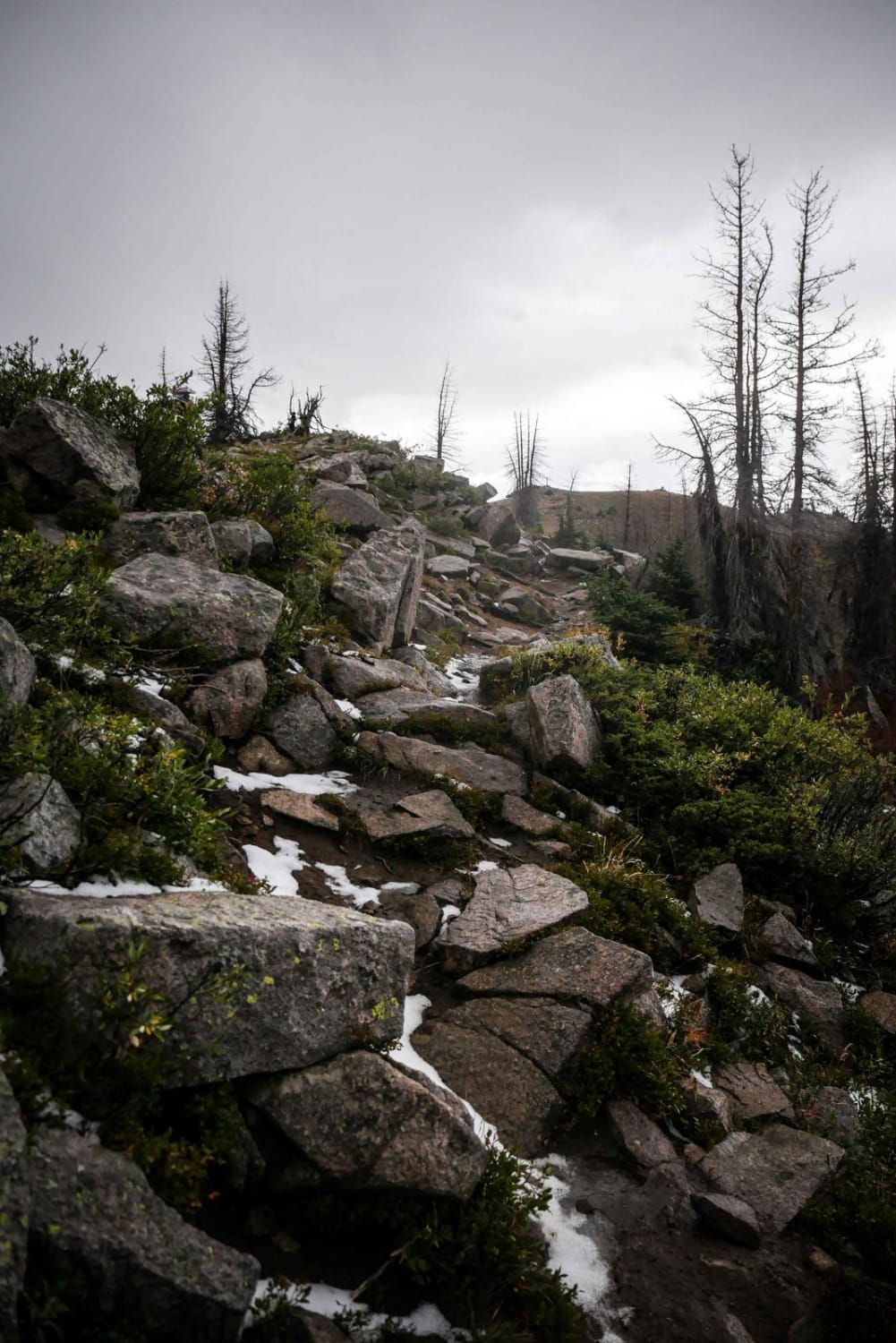
South Quartz Trail is a very challenging trail if ridden in the uphill direction (west to east) that is a 7 difficulty, and is even harder if it's muddy out. It's much easier if ridden…
Learn more about South Quartz
Total Miles
2.2
Tech Rating
7 Difficult
Best Time
Summer
Learn more about Speed Ridge
Speed Ridge

Speed Ridge

Speed Ridge is a short ATV trail on an adobe ridge line in the Flat Top - Peach Valley Recreation Area. The trail is two-track width, but not overly wide, with some whoops. It starts…
Learn more about Speed Ridge
Total Miles
1.2
Tech Rating
2 Easy
Best Time
Fall, Spring
Learn more about Speer Hunter
Speer Hunter

Speer Hunter

This is a short, but very fun trail for all OHVs up the back of South Shale Ridge. Start with an easy climb, then drop down to Dry Fork. There are great lookout spots and…
Learn more about Speer Hunter
Total Miles
23.9
Tech Rating
5 Moderate
Best Time
Spring
Learn more about Spikes
Spikes

Spikes

Spikes is a short trail in Peach Valley that goes between the top and bottom of a mesa. It's a consistent grade the entire way, dropping 900 feet elevation from the top of the mesa…
Learn more about Spikes
Total Miles
1.3
Tech Rating
4 Moderate
Best Time
Fall, Spring
Learn more about Sportsman Road (FS 897)
Sportsman Road (FS 897)

Sportsman Road (FS 897)

Sportsman Road (Forest Service Road 897) is a scenic, 5.5-mile trail consisting of mostly rocks with some dry soil terrain. The trail has beautiful views of surrounding mountains as you traverse through the site of…
Learn more about Sportsman Road (FS 897)
Total Miles
2.7
Tech Rating
2 Easy
Best Time
Spring, Summer, Fall

The onX Offroad Difference

onX Offroad combines trail photos, descriptions, difficulty ratings, width restrictions, seasonality, and more in a user-friendly interface. Available on all devices, with offline access and full compatibility with CarPlay and Android Auto. Discover what you’re missing today!