Off-Road Trails in Colorado

Discover off-road trails in Colorado

Learn more about Trujillo Meadows
Trujillo Meadows

Trujillo Meadows

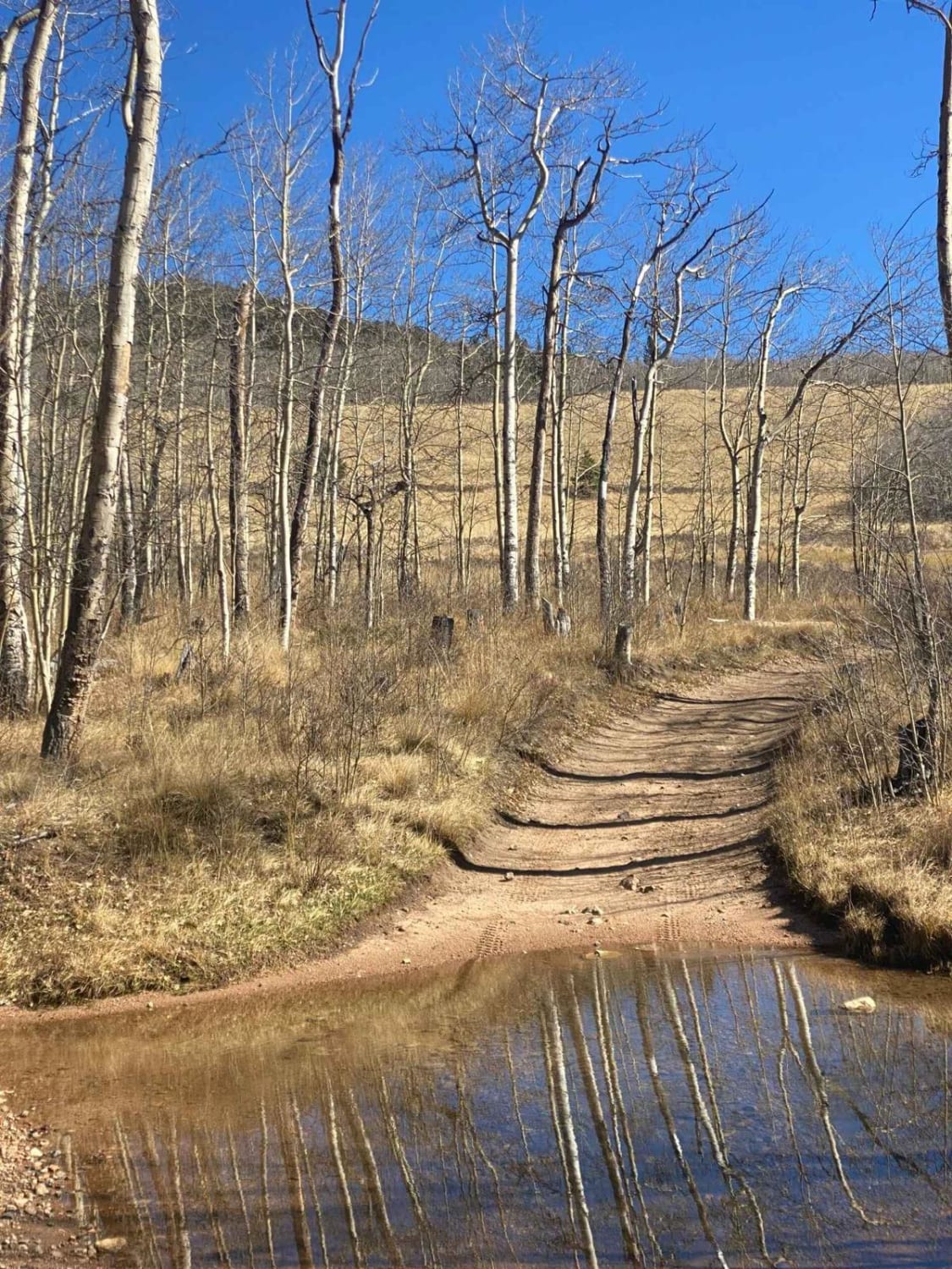
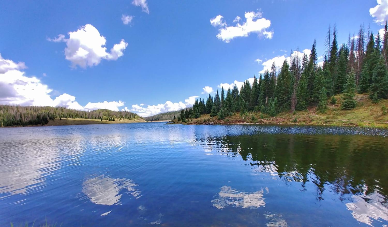
This is a short route out to a man-made alpine lake. You will want to spend some time hiking or fishing around the picturesque lake. The west end of the trail is very well graded…
Learn more about Trujillo Meadows
Total Miles
3.5
Tech Rating
3 Easy
Best Time
Spring, Summer, Fall
Learn more about Turkey Creek Forest Road 637
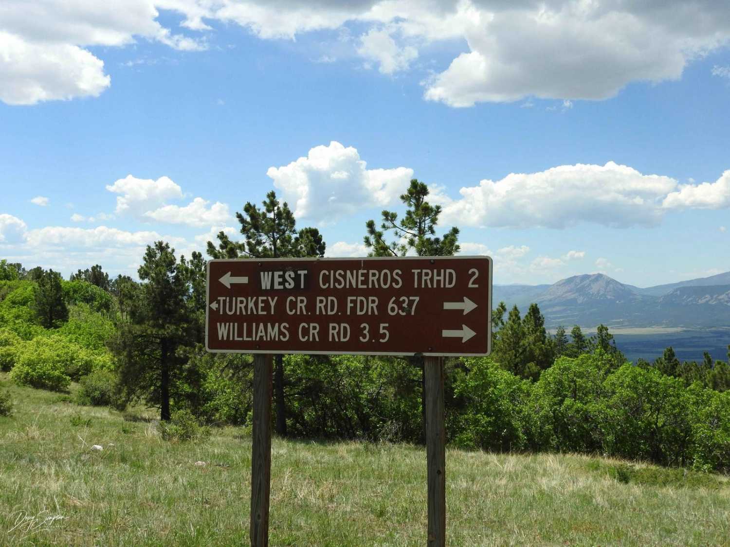
Turkey Creek Forest Road 637

Turkey Creek Forest Road 637

This is an easy winding road that has a few rocky spots that are easy to get around. The road takes you through open meadows and then through forest areas. It has nice views across…
Learn more about Turkey Creek Forest Road 637
Total Miles
3.2
Tech Rating
1 Easy
Best Time
Spring, Summer, Fall
Learn more about Turkey Trac Forest Road 343
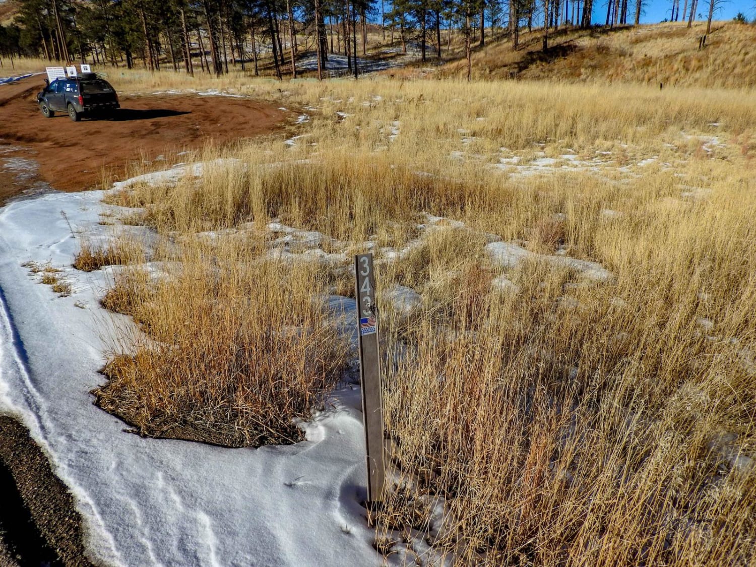
Turkey Trac Forest Road 343

Turkey Trac Forest Road 343

The trail is fairly easy when conditions are good; when muddy or snowy, it becomes more difficult. There are some ruts to contend with in areas, a couple of steep short climbs, and in the…
Learn more about Turkey Trac Forest Road 343
Total Miles
3.3
Tech Rating
3 Easy
Best Time
Spring, Summer, Fall, Winter
Learn more about Turner Gulch Road
Turner Gulch Road

Turner Gulch Road

Turn Gulch Road (FS 238 1a or Park County 23) serves as an unpaved alternative to Park County 77 connecting US24 to the Tarryall Reservoir. This is a mild dirt/sand road suitable for larger trailers…
Learn more about Turner Gulch Road
Total Miles
9.8
Tech Rating
1 Easy
Best Time
Summer, Fall
Learn more about Twin Cone
Twin Cone

Twin Cone

Twin Cone is a short, but enjoyable, Jeep trail. There are several fun challenges on the way up, and the views from the top are spectacular. The views allow you to see all of Colorado.…
Learn more about Twin Cone
Total Miles
7.4
Tech Rating
6 Moderate
Best Time
Summer, Fall
Learn more about Twin Lakes Dispersed Camping Area - FR 125.D
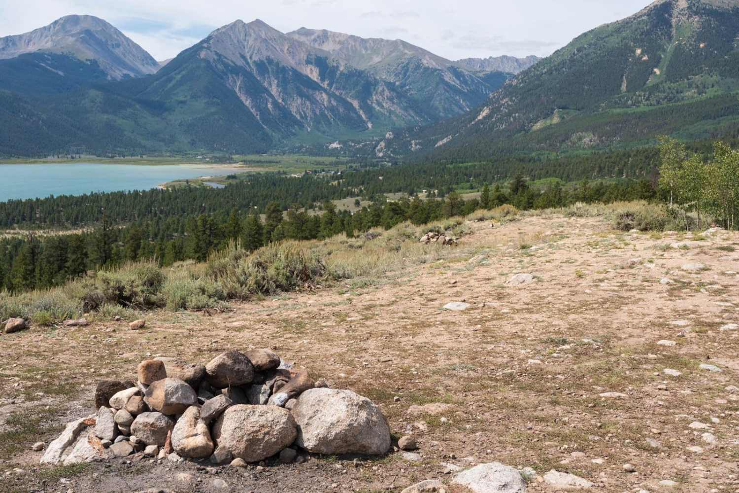
Twin Lakes Dispersed Camping Area - FR 125.D

Twin Lakes Dispersed Camping Area - FR 125.D

The trail accessed numerous dispersed camping sites, skirting the edge of a 400-foot rise above Twin Lakes with expansive views of the surrounding mountain peaks. The area is mostly pine trees mixed with aspens and…
Learn more about Twin Lakes Dispersed Camping Area - FR 125.D
Total Miles
0.5
Tech Rating
3 Easy
Best Time
Summer, Fall
Learn more about Union Park
Union Park

Union Park

This trail is easy and relaxing the entire way. The trail starts at the Taylor Park Trading Post. Proceed over the metal bridge to the south, or in a vehicle, take the paved road, head…
Learn more about Union Park
Total Miles
6.2
Tech Rating
2 Easy
Best Time
Summer, Fall
Learn more about Upper Bench Trail
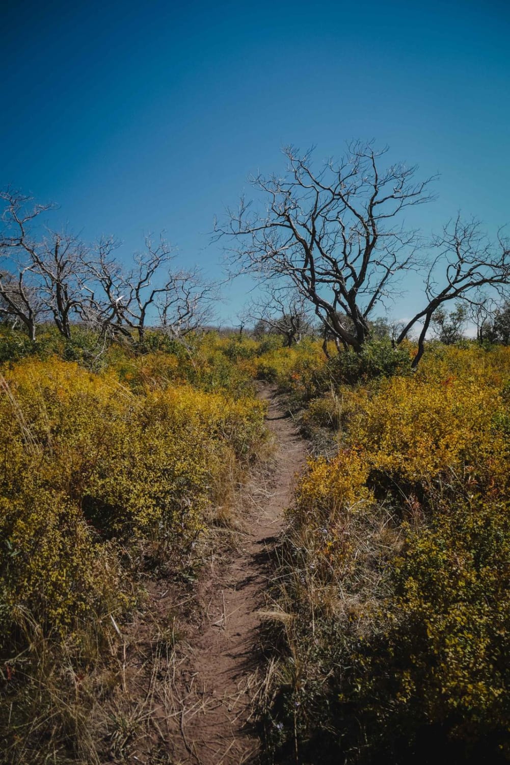
Upper Bench Trail

Upper Bench Trail

Upper Bench Trail is an 8.4-mile-long single-track in the Uncompahgre National Forest west of Montrose, Colorado. It traverses along the side of the ridge at around 9,000 feet elevation, with epic views looking out towards…
Learn more about Upper Bench Trail
Total Miles
8.4
Tech Rating
4 Moderate
Best Time
Spring, Summer, Fall
Learn more about Upper Hall Valley
Upper Hall Valley

Upper Hall Valley

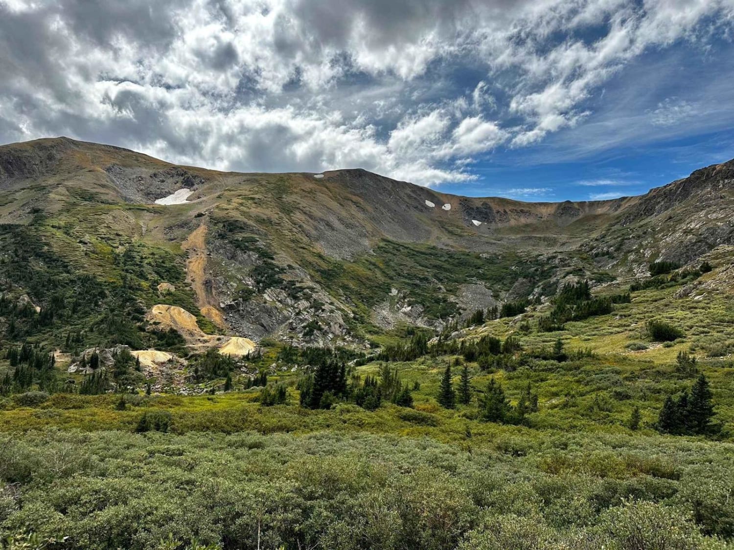
The route begins on FS 120C at the juncture with Redcone and Webster Pass. Head towards Hall Valley campgrounds and Gibson Lake. The route passes through lots of pine and aspen groves on a rocky…
Learn more about Upper Hall Valley
Total Miles
4.1
Tech Rating
4 Moderate
Best Time
Summer, Fall
Learn more about Upper House Creek Road
Upper House Creek Road

Upper House Creek Road

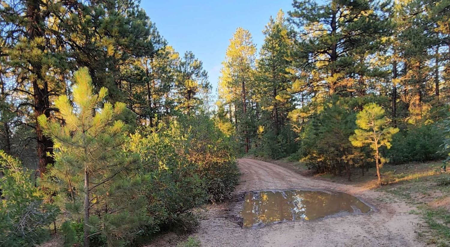
This trail is very muddy in spots and has small water puddles. It offers lots of camping with hiking and biking trails. Dirt or rocky road, typically unmaintained after rain or snow. You may encounter…
Learn more about Upper House Creek Road
Total Miles
5.9
Tech Rating
2 Easy
Best Time
Spring, Summer, Fall
Learn more about Upper Section of East Fork San Juan River Rd-Fr 667
Upper Section of East Fork San Juan River Rd-Fr 667

Upper Section of East Fork San Juan River Rd-Fr 667

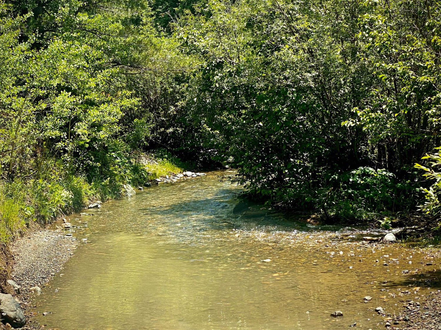
The upper section of East Fork Road starts at the cut off for Quartz Meadow. This is perhaps the only real 4x4 rock climbing trail in the area. There is a sign that says 4x4…
Learn more about Upper Section of East Fork San Juan River Rd-Fr 667
Total Miles
9.1
Tech Rating
5 Moderate
Best Time
Spring, Summer, Fall
Learn more about Upper South Park
Upper South Park

Upper South Park

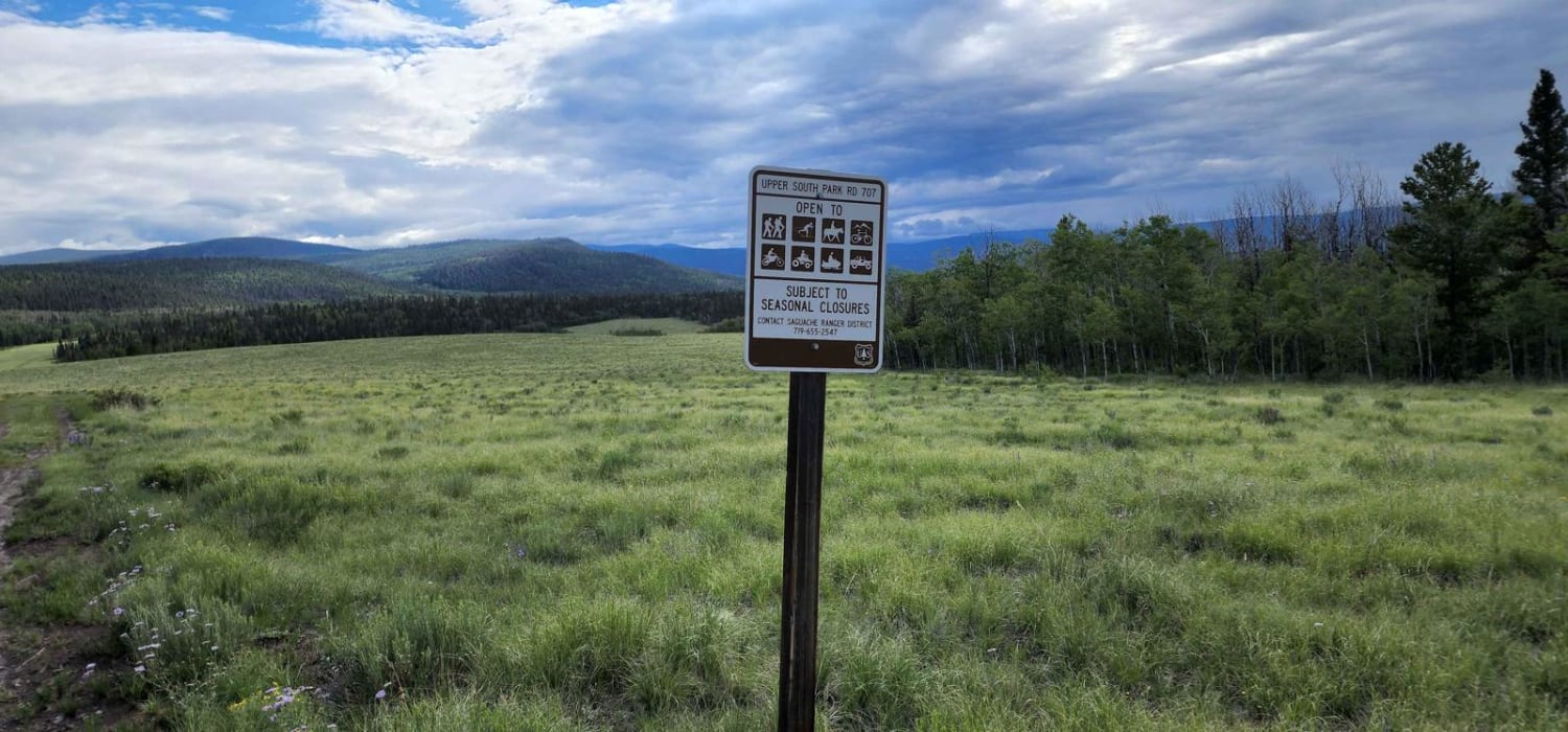
This road can be muddy when wet with water puddles. It has beautiful views and there is a bunch of wildlife and amazing meadows. There seems to be no camping. The road becomes hard to…
Learn more about Upper South Park
Total Miles
6.0
Tech Rating
2 Easy
Best Time
Spring, Summer, Fall
Learn more about Uranium
Uranium

Uranium

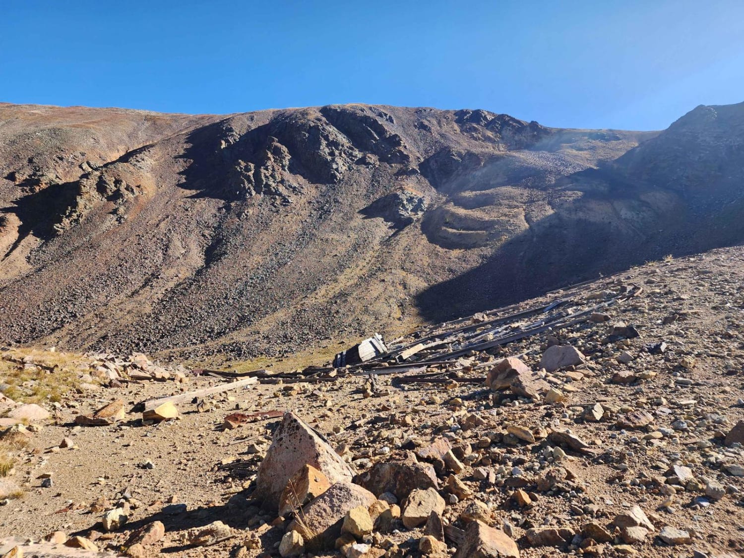
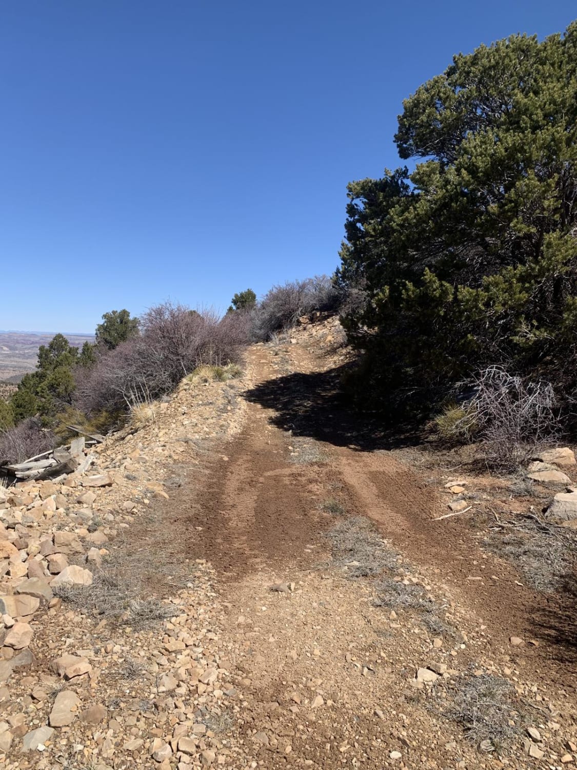
This trail starts out easy and gets more difficult as you go. You will run across a few old uranium mines that still have mining equipment and old structures. It gives you access to many…
Learn more about Uranium
Total Miles
3.2
Tech Rating
4 Moderate
Best Time
Spring, Summer, Fall, Winter
Learn more about Ute Creek
Ute Creek

Ute Creek

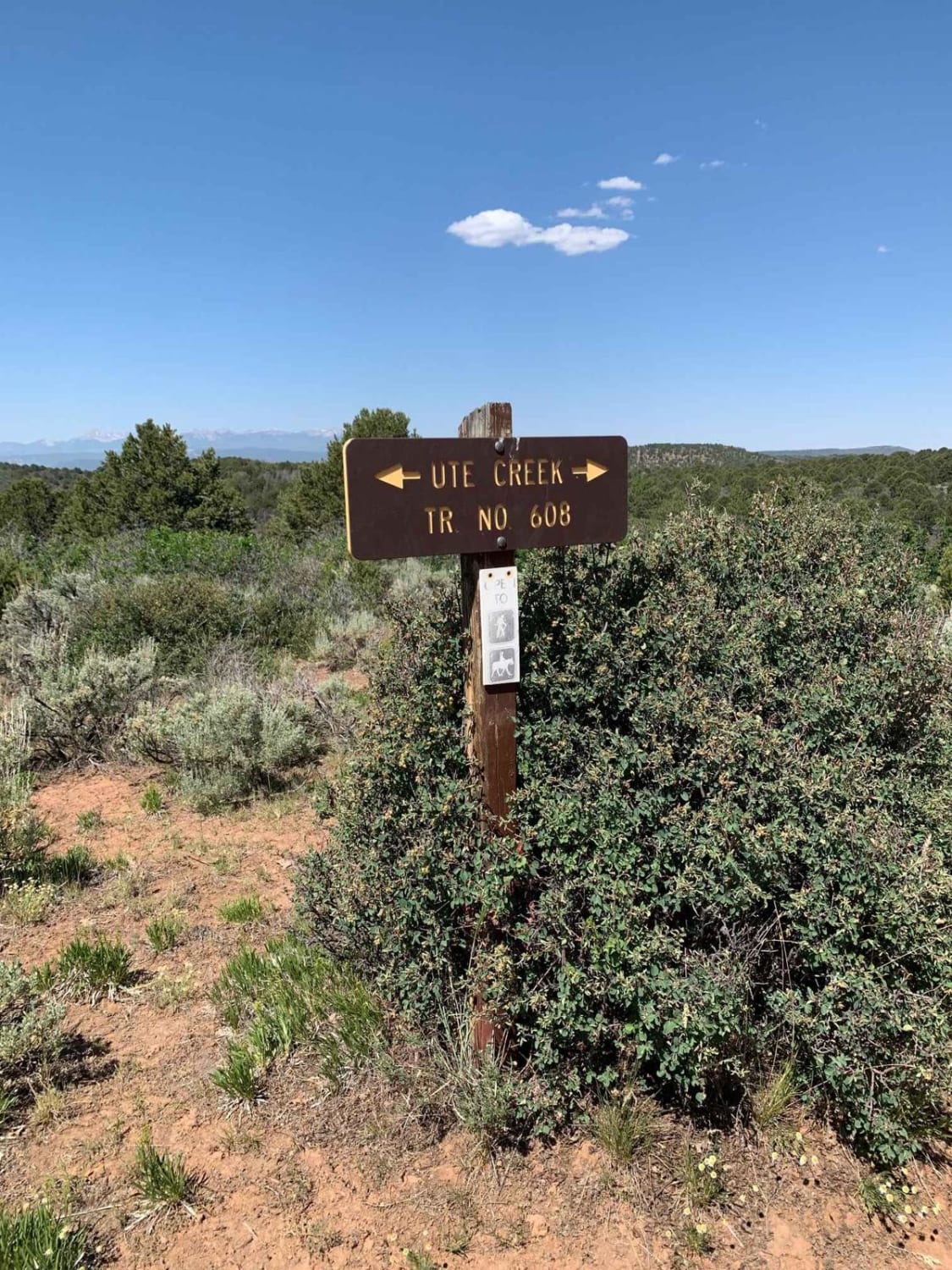
This trail follows Ute Creek as it descends from Aspen glades High on the Uncompahgre Plateau down to open sandy trails with Juniper and Ponderosa Pines. You can do this trail in either direction. Out…
Learn more about Ute Creek
Total Miles
6.1
Tech Rating
5 Moderate
Best Time
Spring, Summer
Learn more about Valdez Trail
Valdez Trail

Valdez Trail

Starting south of the tiny town of Platoro, Colorado, this trail switchbacks up the mountain on a gradual slope with some small rocks in the trail. The trail has a few navigational turns to maneuver…
Learn more about Valdez Trail
Total Miles
2.1
Tech Rating
4 Moderate
Best Time
Summer
Learn more about Wahl - FS 809
Wahl - FS 809

Wahl - FS 809

Wahl FS 809 is a connection trail for the Kenosha Pass trail network. This trail provides smooth open terrain running, steep hill climbs, and a water crossing. Water crossing may exceed 12 inches during spring…
Learn more about Wahl - FS 809
Total Miles
3.5
Tech Rating
3 Easy
Best Time
Spring, Summer, Fall
Learn more about Walrod Gulch Trail
Walrod Gulch Trail

Walrod Gulch Trail

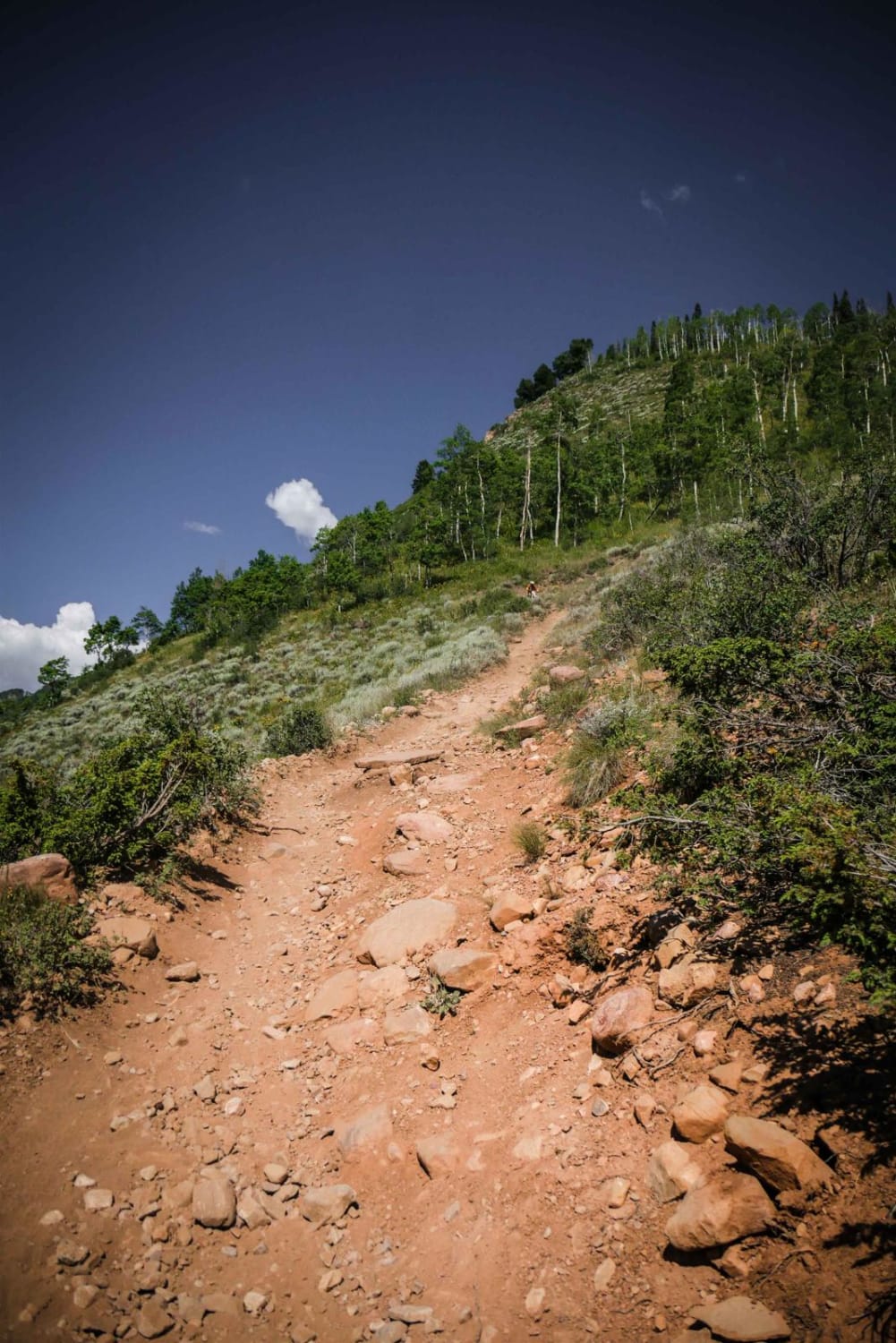
Walrod Gulch is a short, single-track trail that connects the Double Top Spur south to Walrod Road, and further south to Cement Creek Road via the very short Warm Springs Trail. Cement Creek Road is…
Learn more about Walrod Gulch Trail
Total Miles
1.1
Tech Rating
5 Moderate
Best Time
Fall, Summer
Learn more about Walton Peak
Walton Peak

Walton Peak

Walton Peak breaks off Harrison Creek trail and climbs to over 10,500 feet in Routt National Forest. The last few miles are the most challenging, with several rock ledges to climb and some steep off-camber…
Learn more about Walton Peak
Total Miles
7.4
Tech Rating
3 Easy
Best Time
Summer, Fall
Learn more about Warden Gulch Road
Warden Gulch Road

Warden Gulch Road

This is a steep and seldom-used trail off the popular Peru Creek up to the Allan Emory and Orphan Boy Mine Site, which is not overly interesting. There are several designated dispersed camping spots after…
Learn more about Warden Gulch Road
Total Miles
2.2
Tech Rating
5 Moderate
Best Time
Summer
Learn more about Warmup Trail
Warmup Trail

Warmup Trail

This is a new singletrack in the Penrose Commons Recreation Area. The south end starts as a narrow single track off of the ATV Trail 6102C, going through pinyon pine, very tightly between the bushes.…
Learn more about Warmup Trail
Total Miles
1.0
Tech Rating
7 Difficult
Best Time
Spring, Summer, Fall, Winter

The onX Offroad Difference

onX Offroad combines trail photos, descriptions, difficulty ratings, width restrictions, seasonality, and more in a user-friendly interface. Available on all devices, with offline access and full compatibility with CarPlay and Android Auto. Discover what you’re missing today!