Horse Creek Lower Section
Total Miles
3.9
Technical Rating
Best Time
Fall, Summer, Spring
Trail Type
Full-Width Road
Accessible By
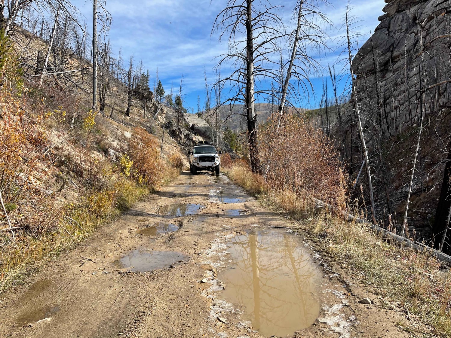
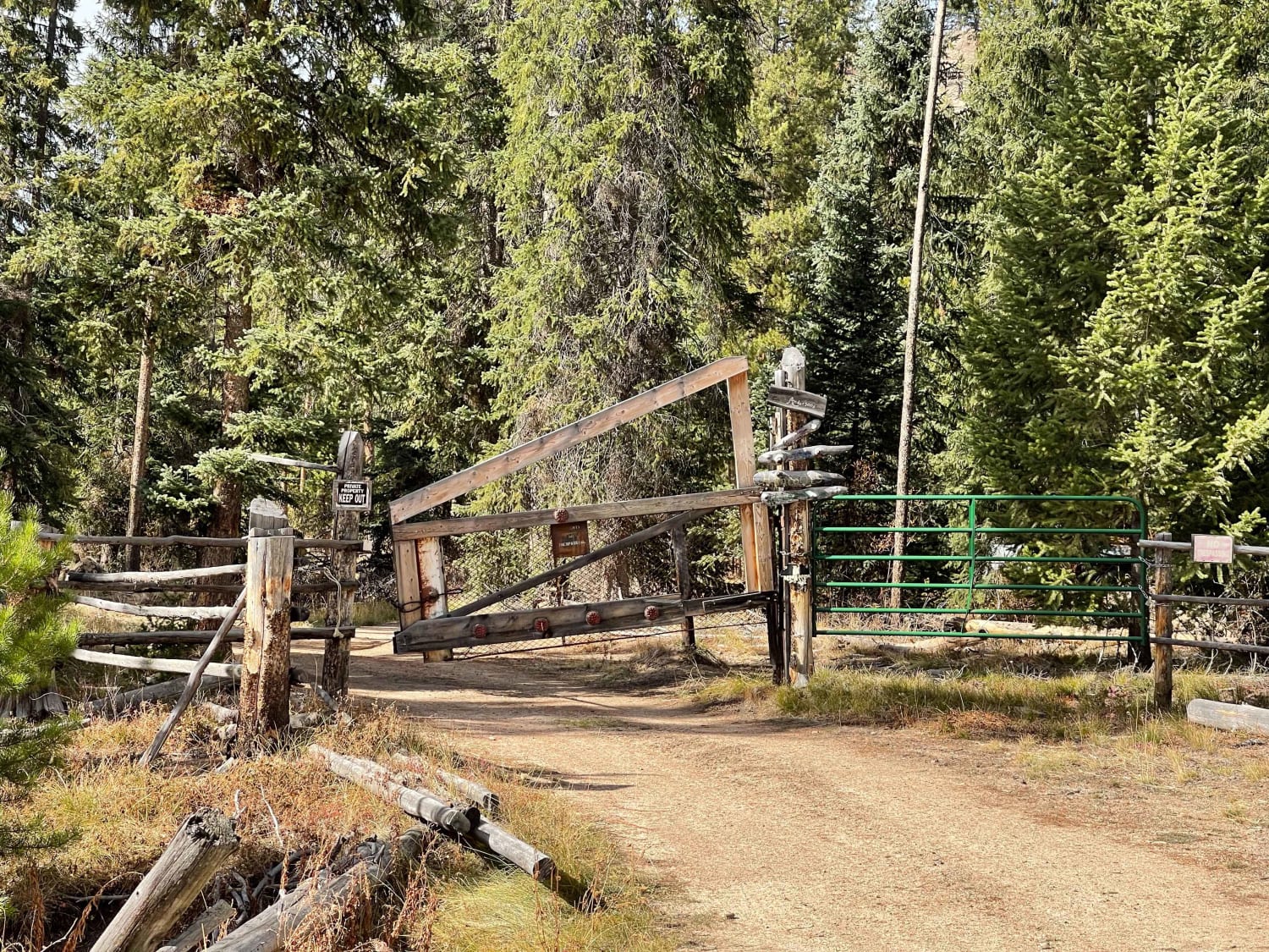
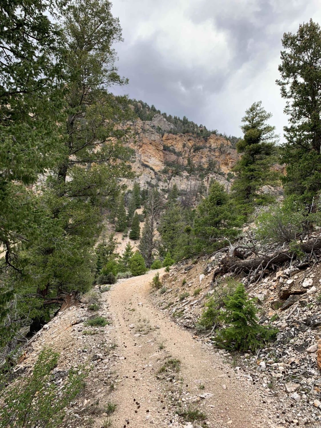
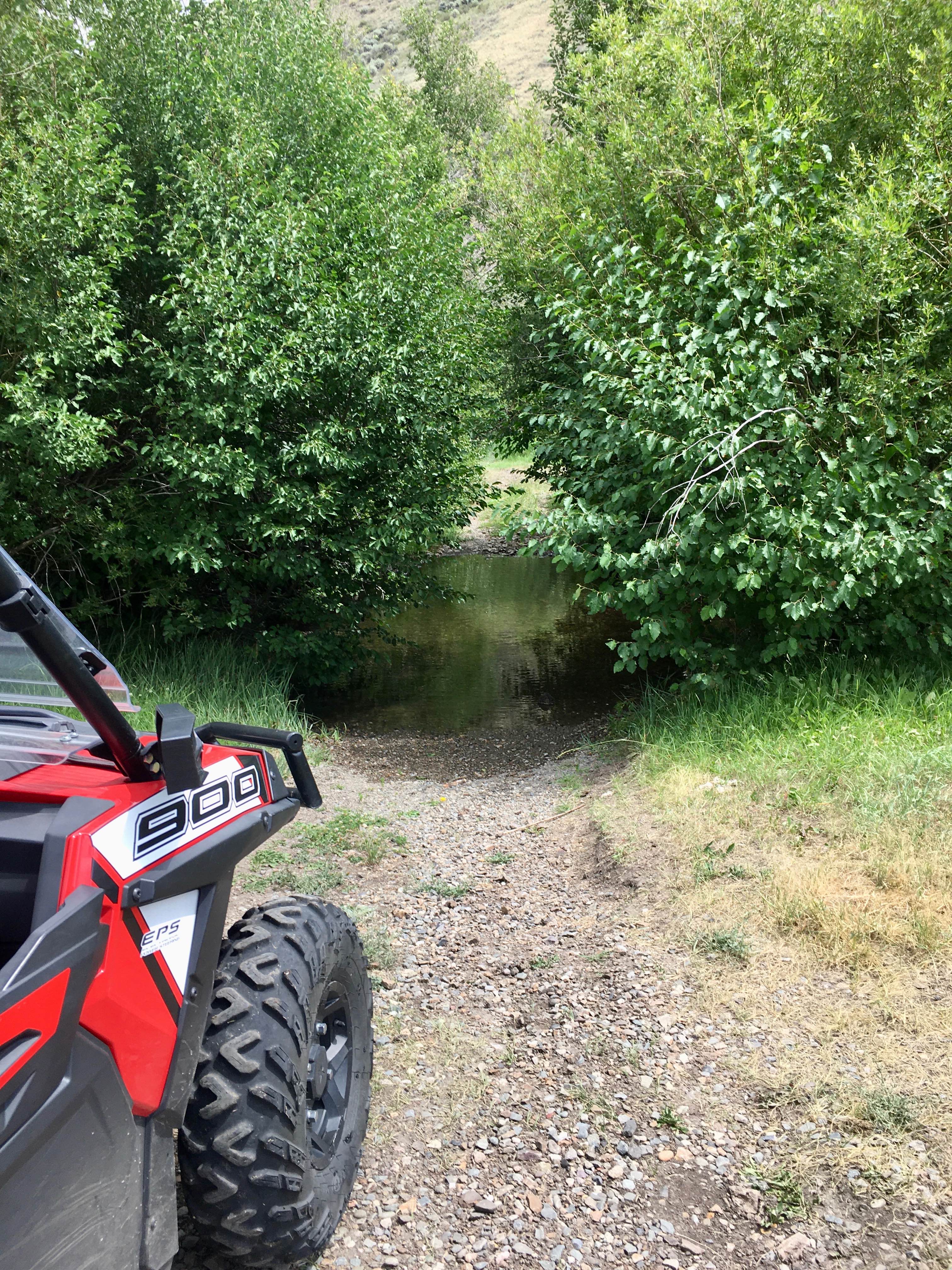
Trail Overview
The trail picks up from the campground area and water access. It winds through a beautiful Canyon with massive rock features and a mostly burned-out forest with some sections of dense pines closer to the end. It ends at a Locked gate and private ranch with plenty of room to turn around. Keep an eye out for the outfitter camp and horses on the trail or near the end. No Verizon cellular service in the area. There are a few dispersed campsites as you get closer to the end. You may see elk and deer; the Rancher at the end of the trail reported wolves in the area.
Photos of Horse Creek Lower Section
Difficulty
Easy with muddy potholes and will not be maintained during the winter.
Status Reports
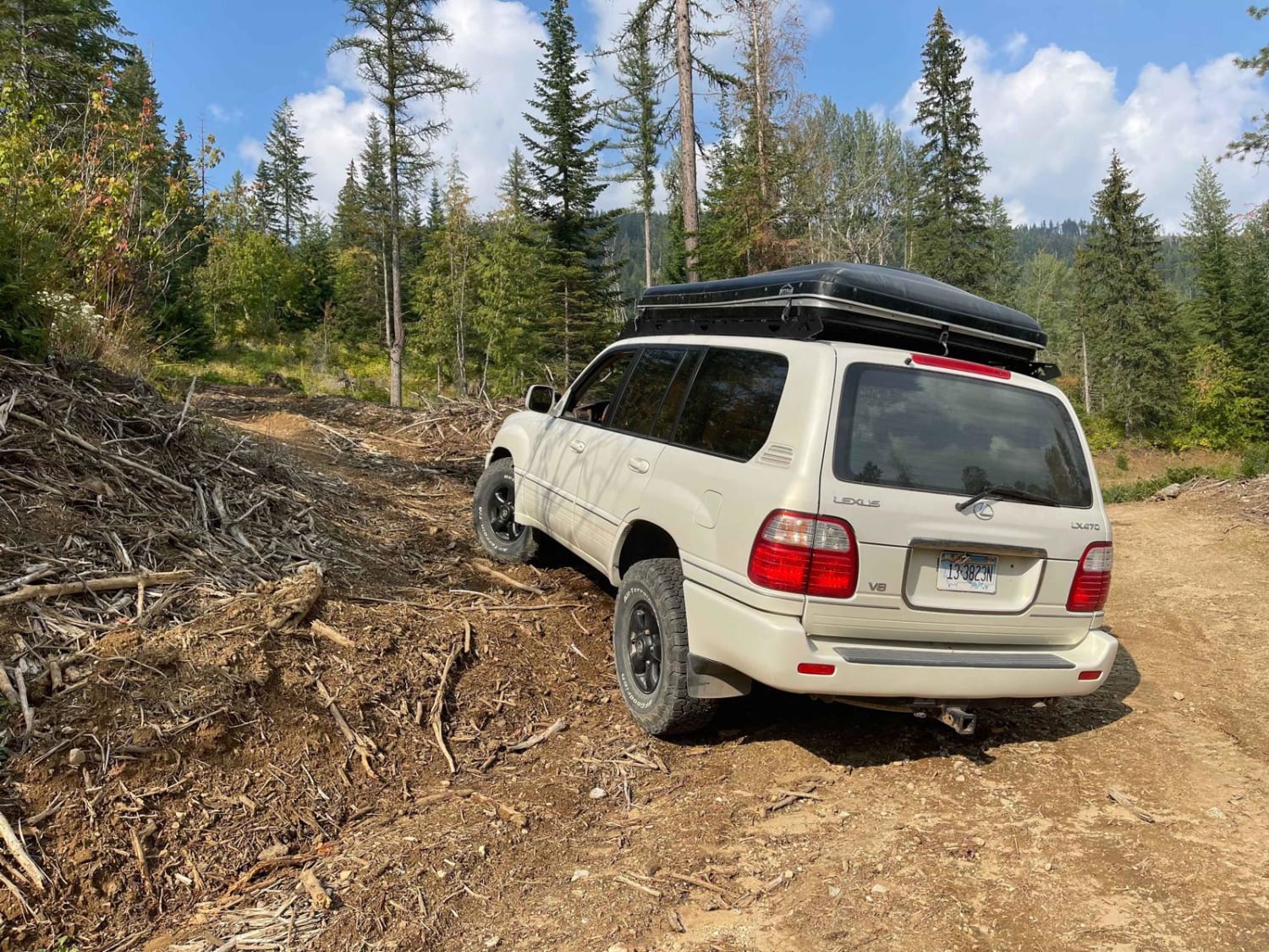
Horse Creek Lower Section can be accessed by the following ride types:
- High-Clearance 4x4
- SUV
- SxS (60")
- ATV (50")
- Dirt Bike
Horse Creek Lower Section Map
Popular Trails
Agency - Yearian ATV Connector
Panhandle Overland Rally Official Offroad Course
The onX Offroad Difference
onX Offroad combines trail photos, descriptions, difficulty ratings, width restrictions, seasonality, and more in a user-friendly interface. Available on all devices, with offline access and full compatibility with CarPlay and Android Auto. Discover what you’re missing today!