Lower Dry Gulch
Total Miles
3.1
Technical Rating
Best Time
Winter, Fall, Summer, Spring
Trail Type
Single Track
Accessible By
Trail Overview
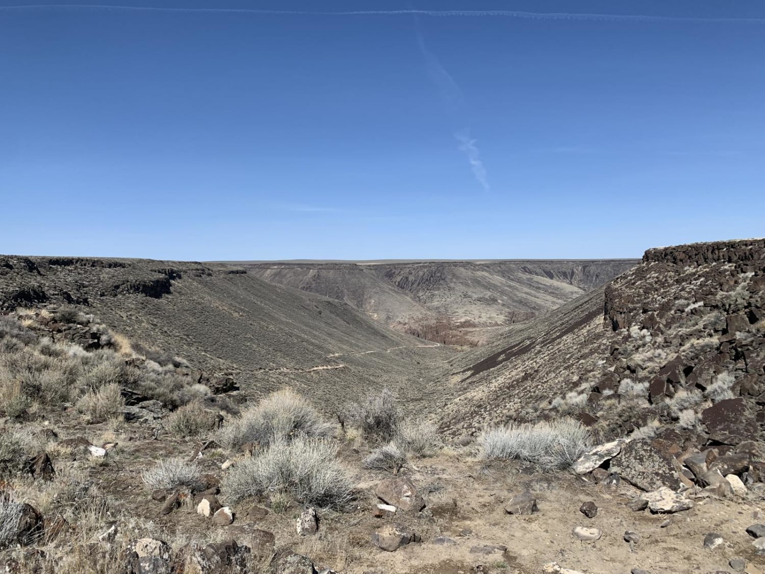
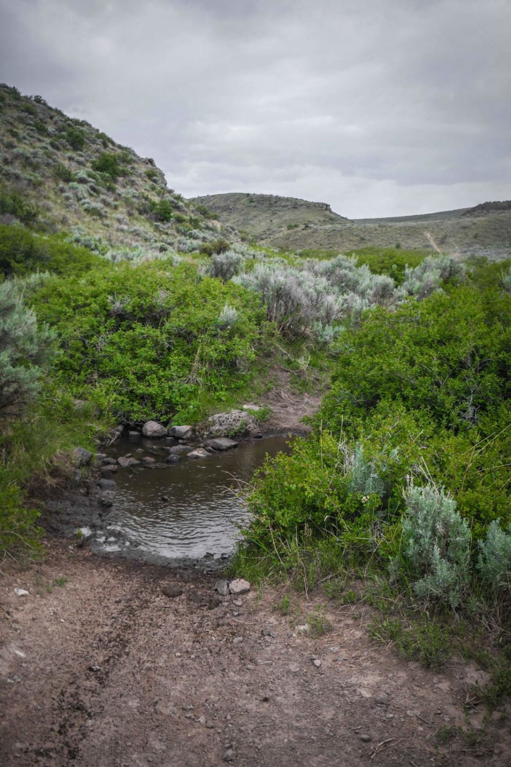
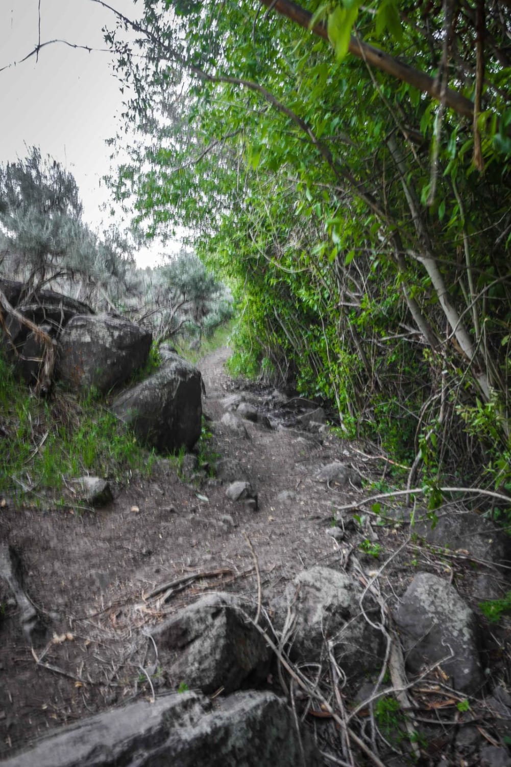
Lower Dry Gulch is very similar to Upper Dry Gulch, except it doesn't have much elevation change. It's relatively flat and it flows alongside a gulch with a small stream where the cattle normally graze. The trail is very narrow above the gulch but is mostly smooth and rock-free. The trail crosses the stream several times, but all are easy crossing and more like crossing a mud puddle. The most challenging part about the trail is that it is so narrow above the ravine. There's one spot where it goes into a short shaded tree section that has a couple of bigger pointy rocks embedded in the dirt. The south end of the trail starts at the intersection with Matt's Gulch and Upper Dry Gulch, and it goes all the way out to Dry Gulch Rd and East 2900 North. The last part of the trail actually turns into a dirt road as it opens up and nears the paved road.
Photos of Lower Dry Gulch
Difficulty
This is an easy desert single track with a bit of rock and is narrow.
Status Reports
Popular Trails

Indian Hot Springs-Hagerman Route

Peach Muley Cutoff

Crane Point/FS 1273

Canyon Fork Creek Road
The onX Offroad Difference
onX Offroad combines trail photos, descriptions, difficulty ratings, width restrictions, seasonality, and more in a user-friendly interface. Available on all devices, with offline access and full compatibility with CarPlay and Android Auto. Discover what you’re missing today!


