Matt's Gulch
Total Miles
1.0
Technical Rating
Best Time
Fall, Winter, Summer, Spring
Trail Type
Single Track
Accessible By
Trail Overview
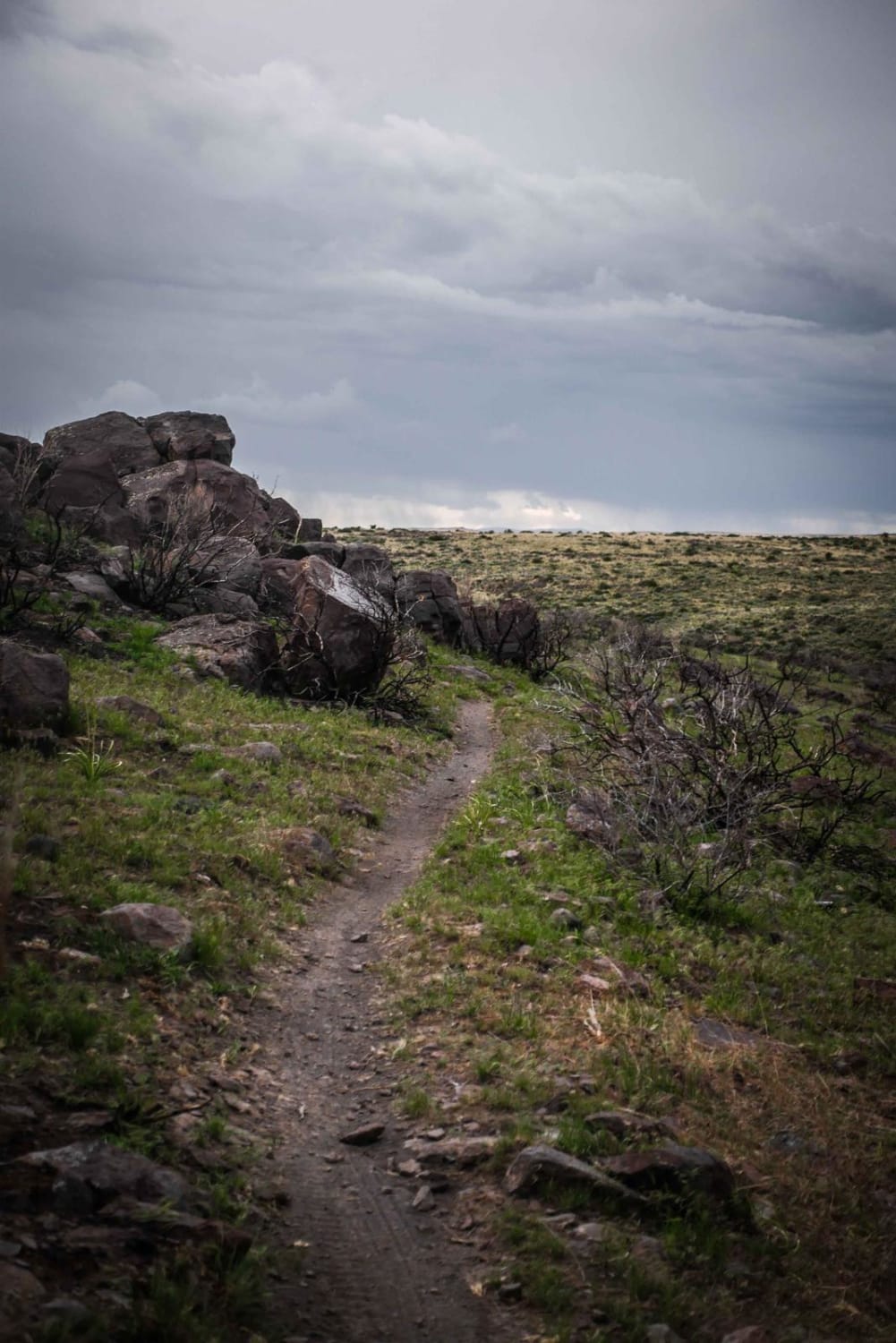
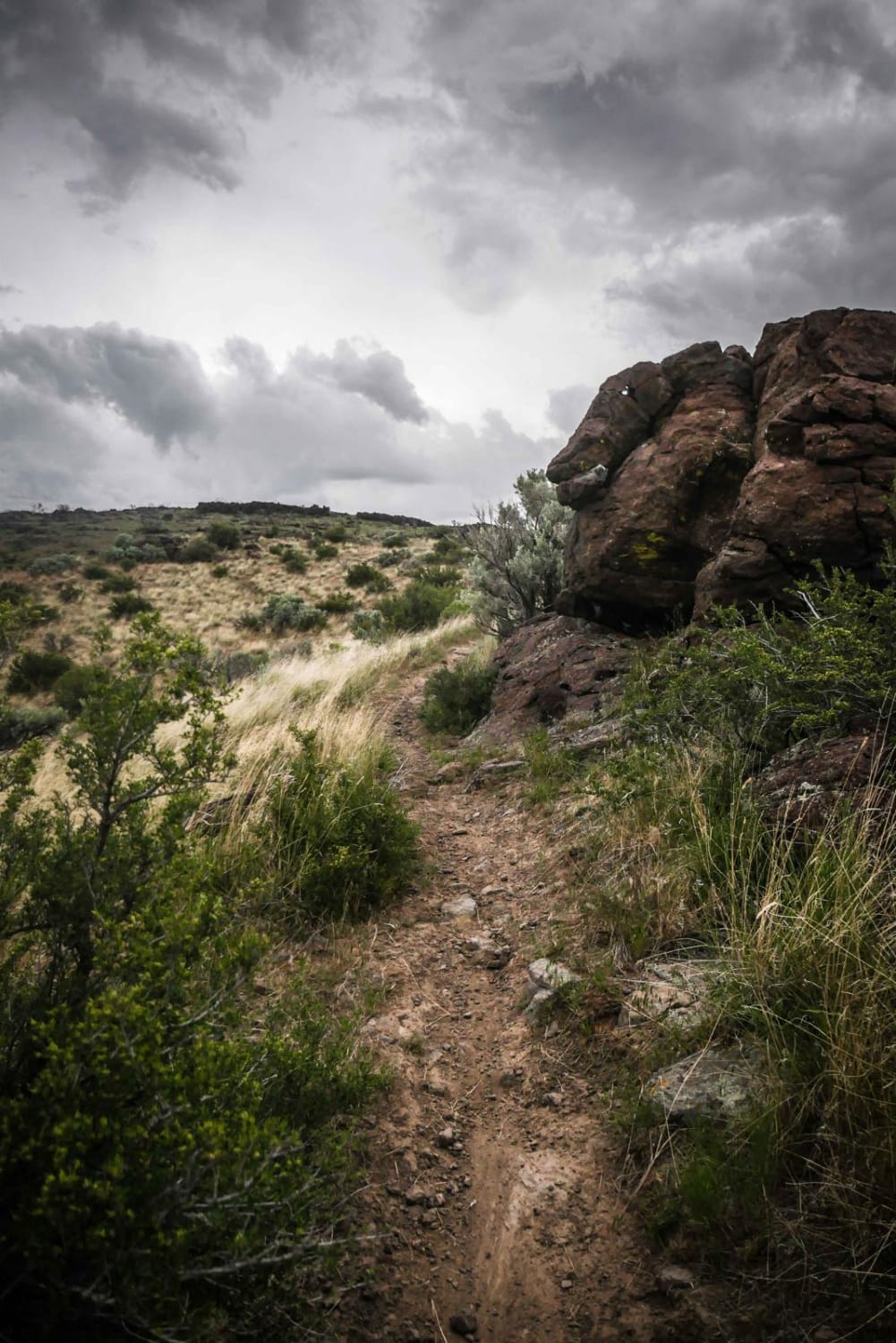
Matt's Gulch is a fun desert single track in the South Hills Trail System south of Twin Falls, Idaho. It is similar to many of the trails in the system as it is an easy trail, but narrow and sometimes rocky. Matt's Gulch climbs up from the intersection with Upper and Lower Dry Gulch, through sagebrush desert terrain to get up on top of a ridge. It continues along the ridge by some rock outcroppings. The trail has some rockier parts with embedded rock in the dirt, with tight switchbacks, but all of these features are easy to moderate difficulty. At the top, it goes through a burn area where the sagebrush shows signs of a prior burn. It gains about 200 feet from the bottom of the gulch to the top of the ridgeline. In the end, it connects with Indian Spring Road. This is a good way to bail out of the Upper and Lower Dry Gulch trails back to Indian Spring Road.
Photos of Matt's Gulch
Difficulty
This is an easy desert single track with a bit of rock, and with tight curves.
Status Reports
Matt's Gulch can be accessed by the following ride types:
- Dirt Bike
Matt's Gulch Map
Popular Trails

South Fork Sheep Creek

Peach Cinnabar/ Peach Creek

Johnson Creek
The onX Offroad Difference
onX Offroad combines trail photos, descriptions, difficulty ratings, width restrictions, seasonality, and more in a user-friendly interface. Available on all devices, with offline access and full compatibility with CarPlay and Android Auto. Discover what you’re missing today!


