Montgomery-Moon Ridge
Total Miles
8.3
Technical Rating
Best Time
Summer, Fall
Trail Type
Full-Width Road
Accessible By
Trail Overview
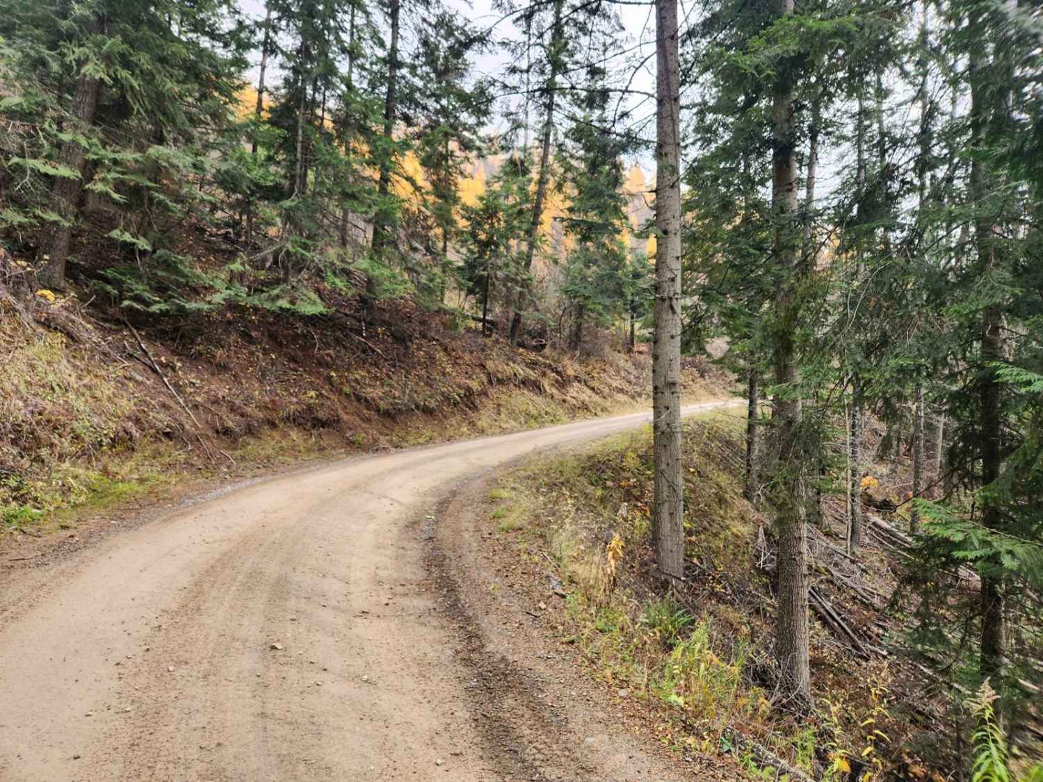
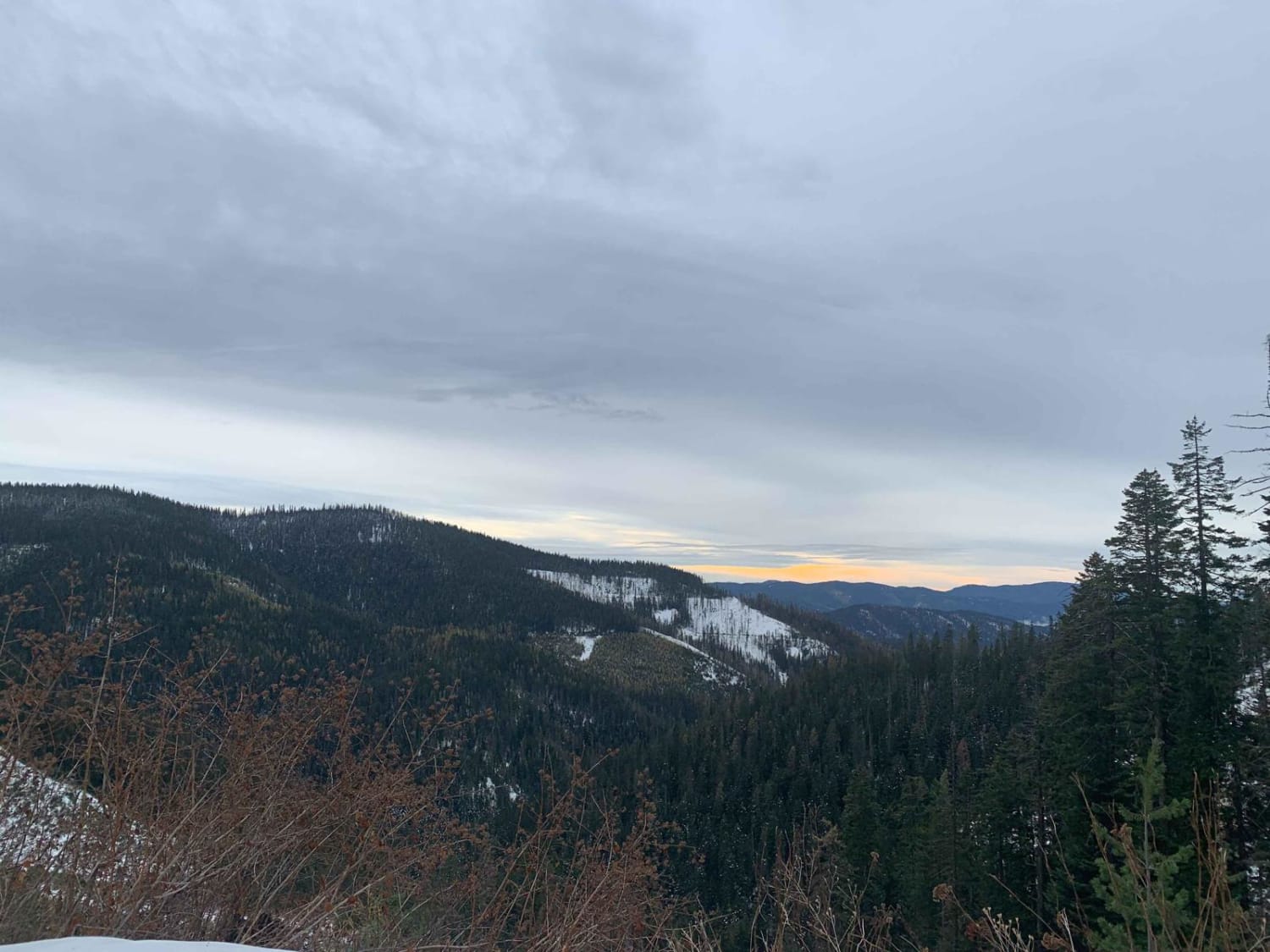
Montgomery-Moon Ridge is USFS road #946, a lightly used well-maintained route in the Coeur d'Alene National Forest. At low elevation, it passes many privately owned tracts and has lots of tight turns. There are no camping or bathrooms on the route, and deer and elk are infrequently found due to proximity to town. The route ascends to Moon Saddle at 4,669 feet, where Character Ridge heads toward the Coeur d'Alene River and the other two eventually converge and go southeast toward Interstate 90. There has been logging activity in the area, be on the lookout for logging trucks. There is cell phone reception along this route.
Photos of Montgomery-Moon Ridge

Difficulty
Adverse weather will affect the trail rating but in good conditions this is an easy-going ride.
Status Reports

Popular Trails

Challis Creek Road
8th Street Motorcycle Trail
Skookum Saddle (434)

East Slope of Old Baldy Peak
The onX Offroad Difference
onX Offroad combines trail photos, descriptions, difficulty ratings, width restrictions, seasonality, and more in a user-friendly interface. Available on all devices, with offline access and full compatibility with CarPlay and Android Auto. Discover what you’re missing today!