Mowat Creek
Total Miles
1.3
Technical Rating
Best Time
Summer, Fall
Trail Type
Single Track
Accessible By
Trail Overview
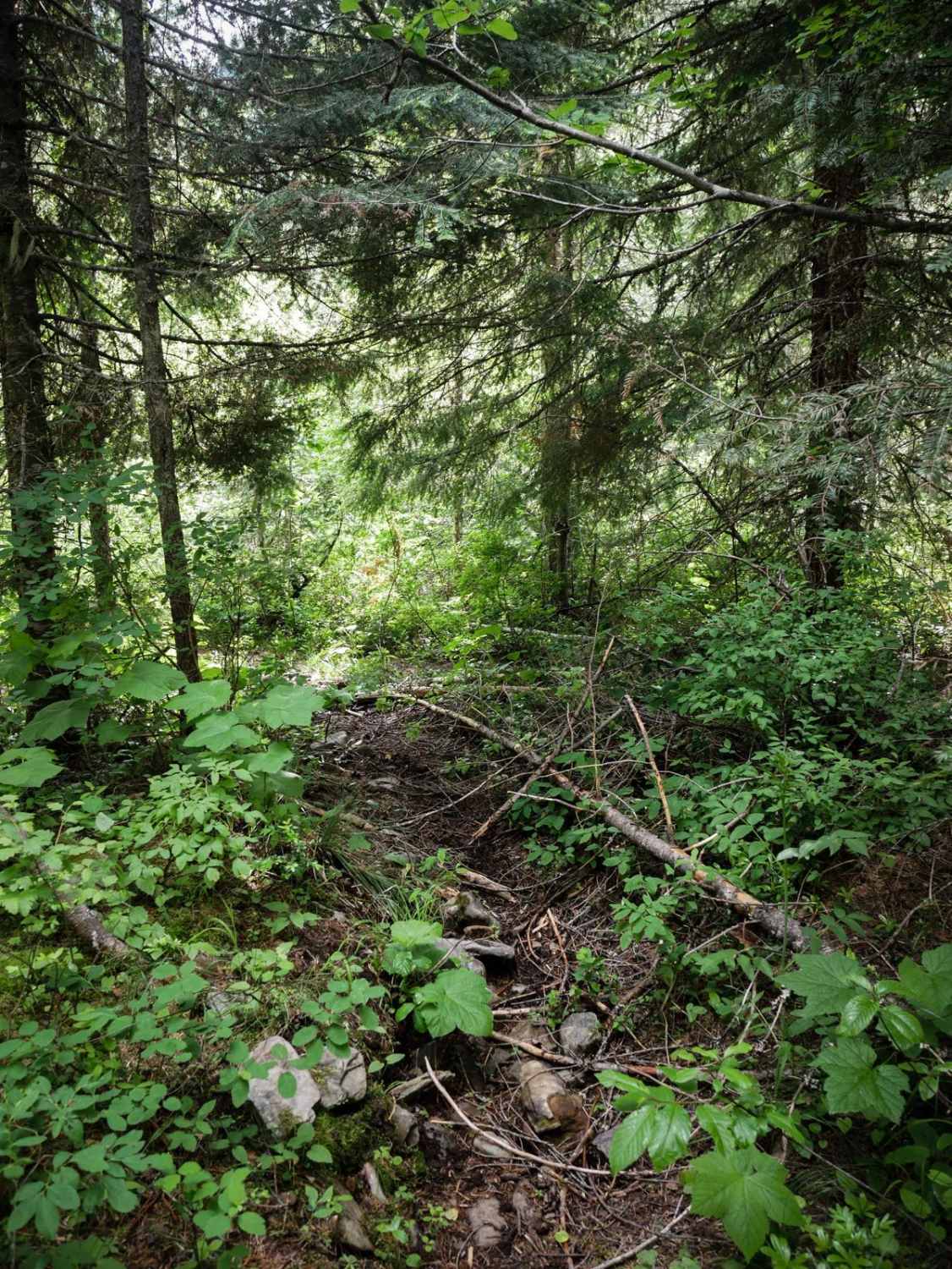
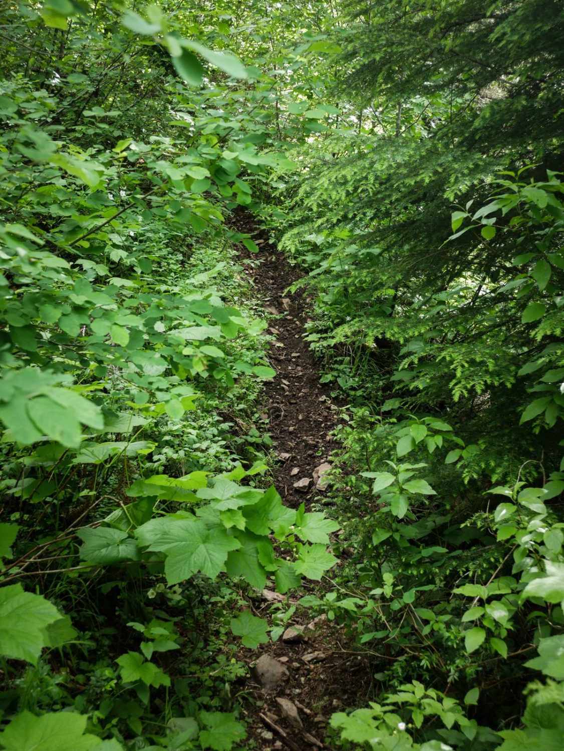
The north end of Mowat Creek starts at the intersection with Big Creek and East Fork Big Creek and goes southeast. It starts with a couple of small creek crossings. This trail goes through an overgrown and wet forest full of overgrown bushes. It starts climbing right away, going pretty straight uphill, climbing through mossy pine trees with some logs down. It constantly goes uphill and is hard to see the trail in some of the more overgrown sections. About a mile in, it starts to need some trail maintenance and becomes much harder to follow. There are quite a few logs cut, so it looks like it's been ridden in the past, but maybe not passable for the current season. You'll have to do some route finding as it winds past big trees, and then the trail kind of dissipates at about 1.3 miles. This one will need some trail maintenance to connect through to the south entrance.
Photos of Mowat Creek
Difficulty
This trail is difficult because of lots of overgrowth, and steep climbs.
Status Reports
Popular Trails

USFS 8234 Mid-Section
Strychnine Ridge (Trail 319)
The onX Offroad Difference
onX Offroad combines trail photos, descriptions, difficulty ratings, width restrictions, seasonality, and more in a user-friendly interface. Available on all devices, with offline access and full compatibility with CarPlay and Android Auto. Discover what you’re missing today!
