Slate Peak ATV
Total Miles
6.1
Technical Rating
Best Time
Summer, Fall
Trail Type
50" Trail
Accessible By
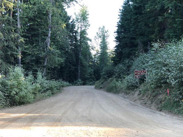
Trail Overview
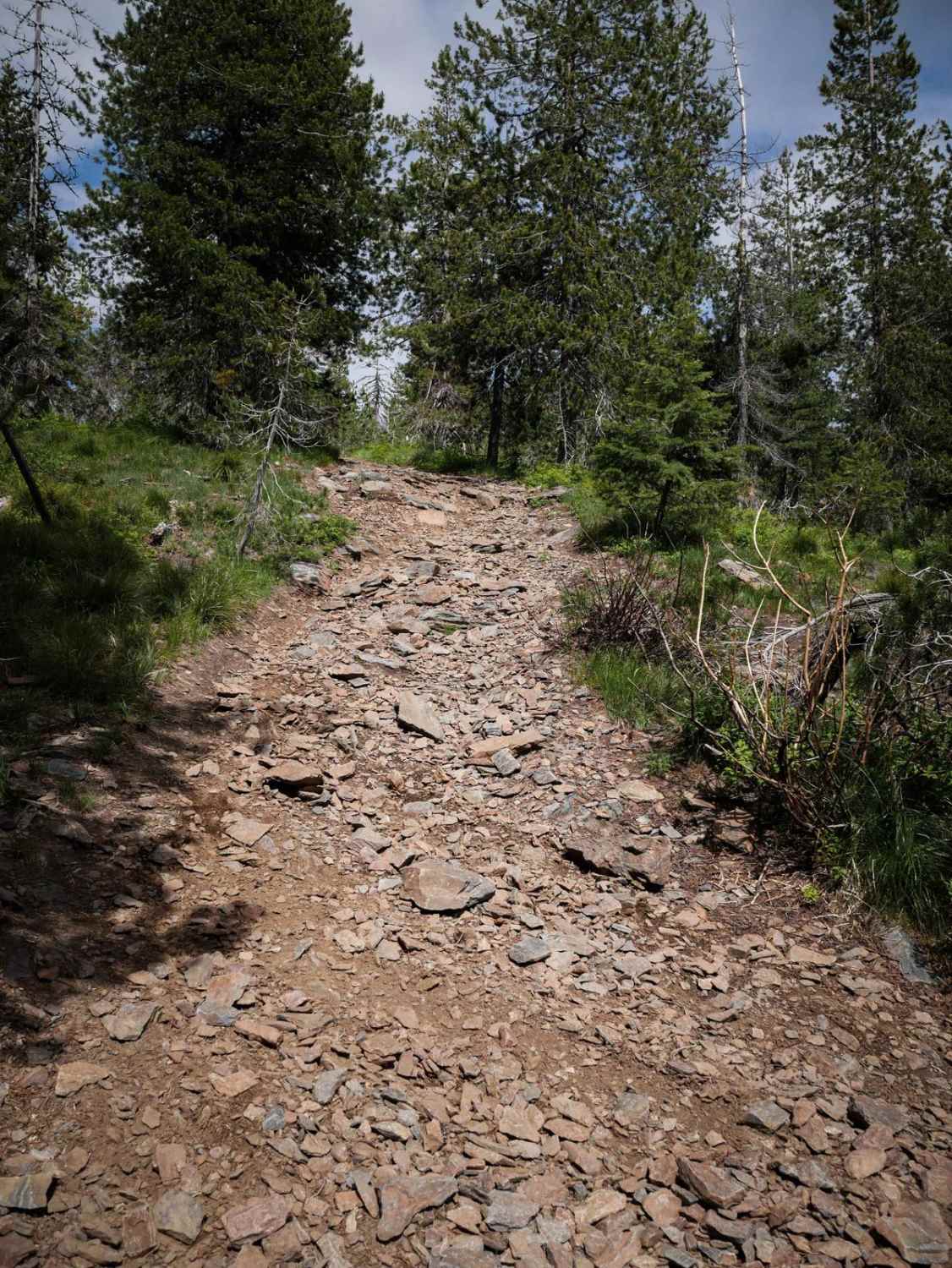
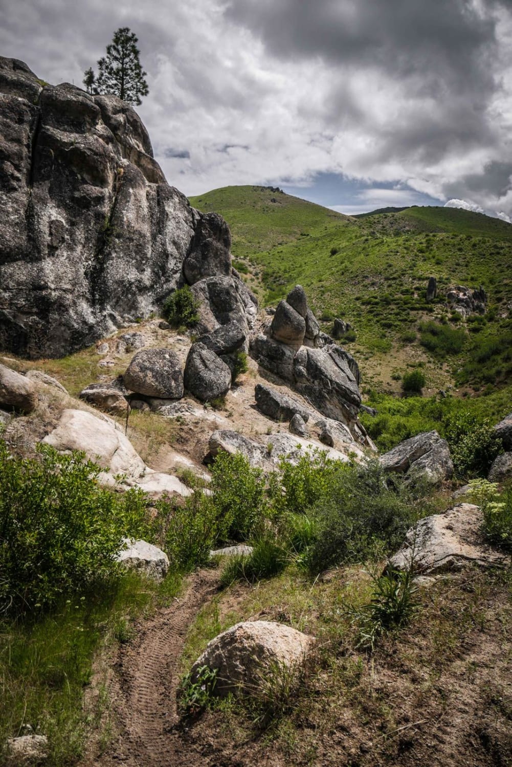
This is an 8-mile moderate ATV trail through the Saint Joe National Forest. It's mostly used as an access trail for the several single tracks that it connects to. The south end dead ends in the forest, going nowhere in particular, so it's also probably used for hunting or just generally exploring the area. It's a two-track width the whole way, but often with ruts on one side of the trail, making it off-camber and tippy for an ATV. It's constantly going up and down the mountain range, climbing steep hills to get to ridgelines, then going back down. Steep spots and roots make it more difficult. Lots of downed logs have been cut, but there's always potential for more downfall here. Some of the ridge lines and climbs are full of loose rocks and loose pieces of shale or have embedded rock. You'll have really pretty views of the whole mountain range and wildflowers in summer.
Photos of Slate Peak ATV

Difficulty
This is a 5 difficulty for ATVs due to loose rocky climbs that are steep and full of cobble, which make it hard to get traction. This is a bit easier for a dirt bike, but still intermediate difficulty due to the many steep climbs.
Status Reports

Popular Trails
Johnson/Lakeview Rd. #278

Cabin Point

Upper Harden Creek ATV
The onX Offroad Difference
onX Offroad combines trail photos, descriptions, difficulty ratings, width restrictions, seasonality, and more in a user-friendly interface. Available on all devices, with offline access and full compatibility with CarPlay and Android Auto. Discover what you’re missing today!