Sturgeon Run
Total Miles
6.7
Elevation
896.42 ft
Duration
0.5 Hours
Technical Rating
Best Time
Spring, Summer, Fall
Trail Overview
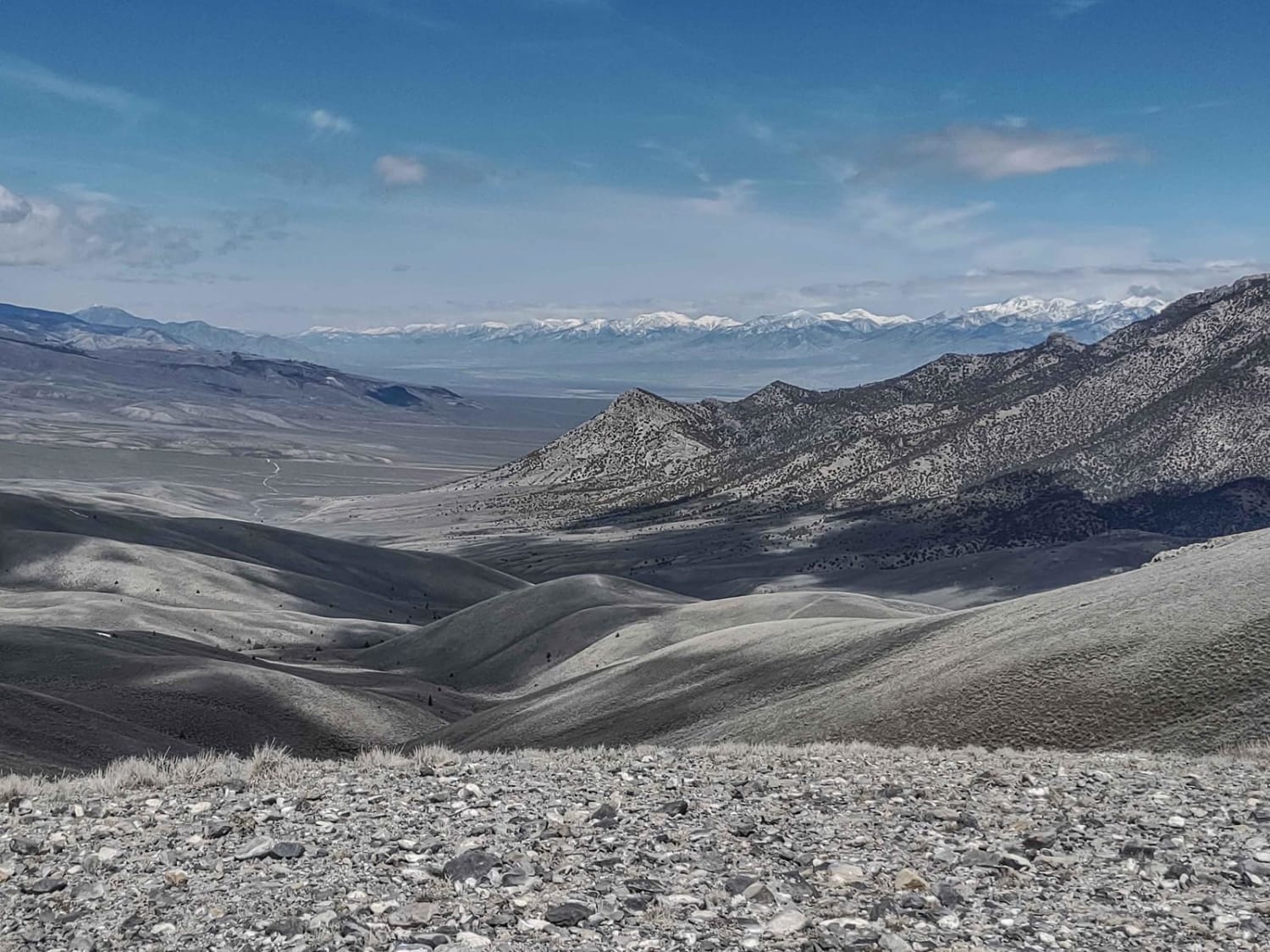
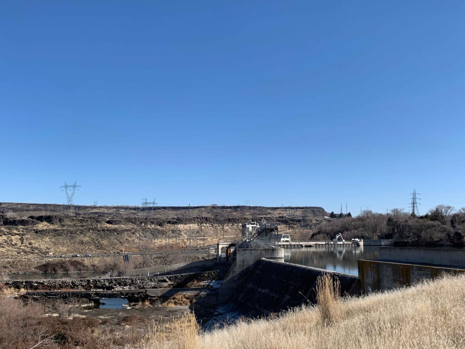
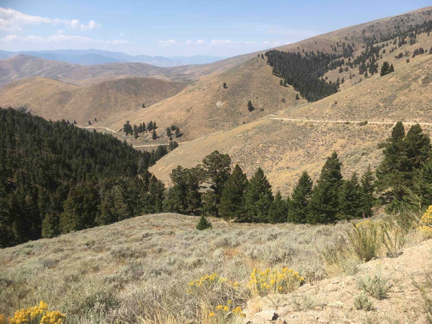
Enjoy a relatively easy and short drive! Wind your way up the Snake River to Lower Salmon Falls Dam. Plenty of spots to take in views, great spots to park and fish or simply enjoy the river. Mostly used for sportsman's access such as fishing and hunting, so please be on the lookout for other vehicles and head-on traffic. During summer and fall conditions can be very dry and susceptible to fires so be diligent and do not leave the road.
Photos of Sturgeon Run
Difficulty
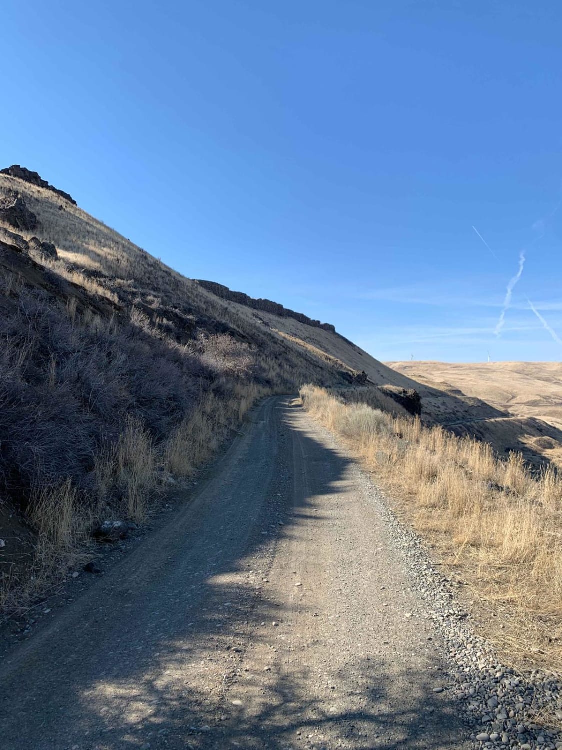
The trail has blind corners and can be very muddy, with deep ruts, and loose exposed rocks. Observe the route ahead as there is a section before you reach the dam which is two different roads that cross. The road alternates side to side to avoid ruts and rocks so be aware and diligent. PLEASE observe the speed limit near residences and watch for stock on the road as it is open grazing.
Status Reports
Popular Trails

NF 221 - C/FDR Grangeville - Salmon Road

Wood Canyon to Arco Pass

Kleinschmidt Grade - NFD 105
The onX Offroad Difference
onX Offroad combines trail photos, descriptions, difficulty ratings, width restrictions, seasonality, and more in a user-friendly interface. Available on all devices, with offline access and full compatibility with CarPlay and Android Auto. Discover what you’re missing today!


