Sugar Creek
Total Miles
5.2
Technical Rating
Best Time
Summer, Fall
Trail Type
50" Trail
Accessible By
Trail Overview
Sugar Creek ATV trail roughly follows Sugar Creek up the canyon. It is a 50" ATV trail that has sections that are smooth and flowy and more sections that are rocky and technical. The trail starts at the parking lot shortly after entering Forest Service property. As the trail goes, you'll pass the trail heads for trails 306 (Maple Creek to Sugar Creek), Lowline Trail, and Litz Basin Trail. At the junction with Litz Basin Trail, take the trail to the right to stay on Sugar Creek Trail. After this junction, the trail starts to climb up the mountain with the last half mile or so very steep with loose rocks. This climb is the most difficult part of the trail and is the main reason for the difficulty rating. You'll want to keep your momentum up as it's difficult to get started again if you get stopped in this section. From the top of the trail, follow the road to Franklin Basin Road, where you can connect over to Danish Pass and the trailhead for the Highline trail single track.
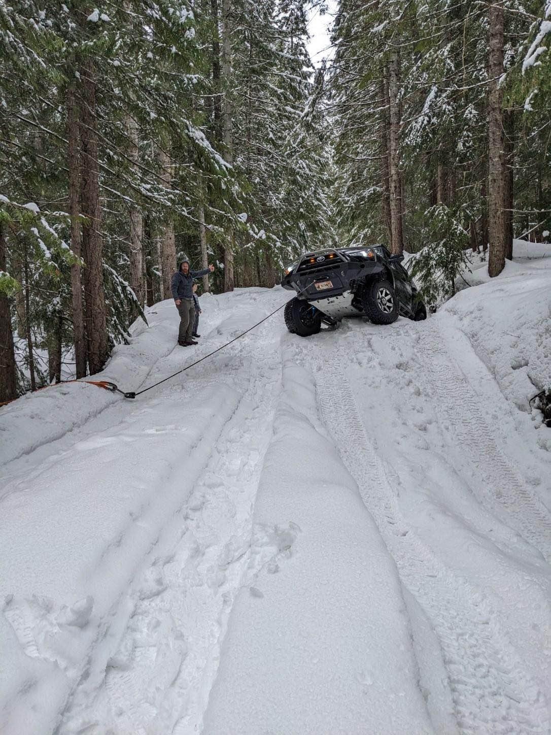
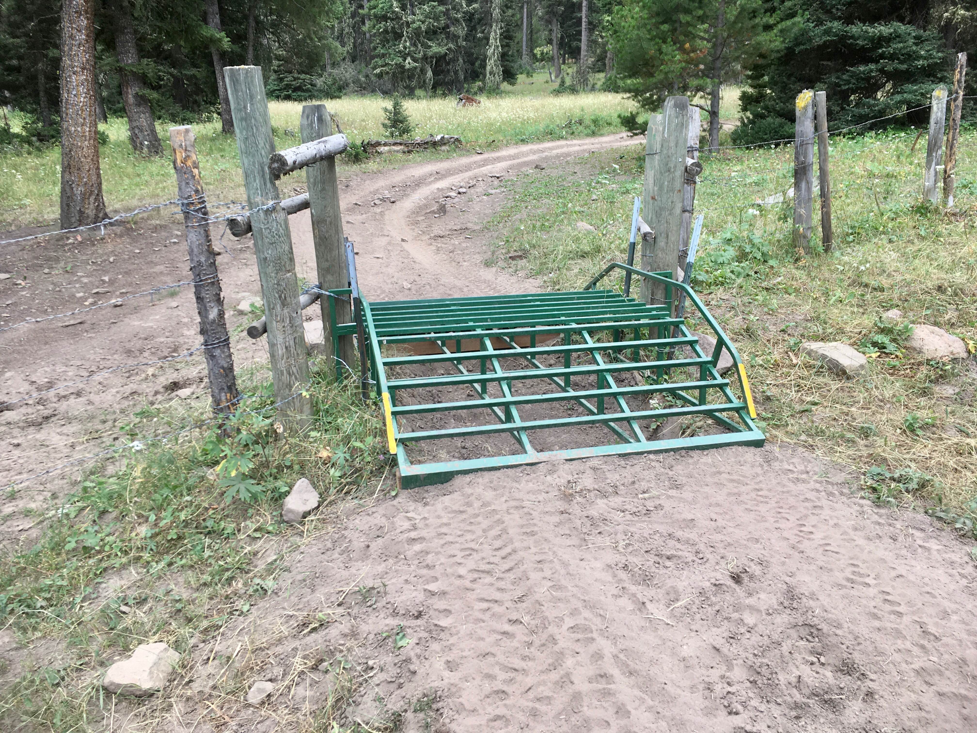
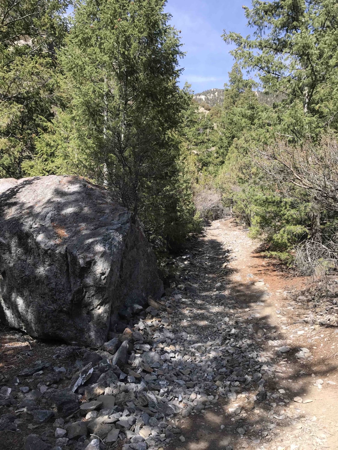
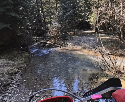
Photos of Sugar Creek


Difficulty
The loose rocky climb during the last half a mile or so is a difficult climb, which drives the difficulty level. The rest of the trail has a few rocky sections that may be a challenge as well.
Status Reports
Sugar Creek can be accessed by the following ride types:
- ATV (50")
- Dirt Bike
Sugar Creek Map
Popular Trails
Roller Coaster
Lone Pine Pass ATV Trail
East Fork Gold Creek Trail 763
The onX Offroad Difference
onX Offroad combines trail photos, descriptions, difficulty ratings, width restrictions, seasonality, and more in a user-friendly interface. Available on all devices, with offline access and full compatibility with CarPlay and Android Auto. Discover what you’re missing today!