Off-Road Trails in Idaho

Discover off-road trails in Idaho

Learn more about Airline
Airline

Airline

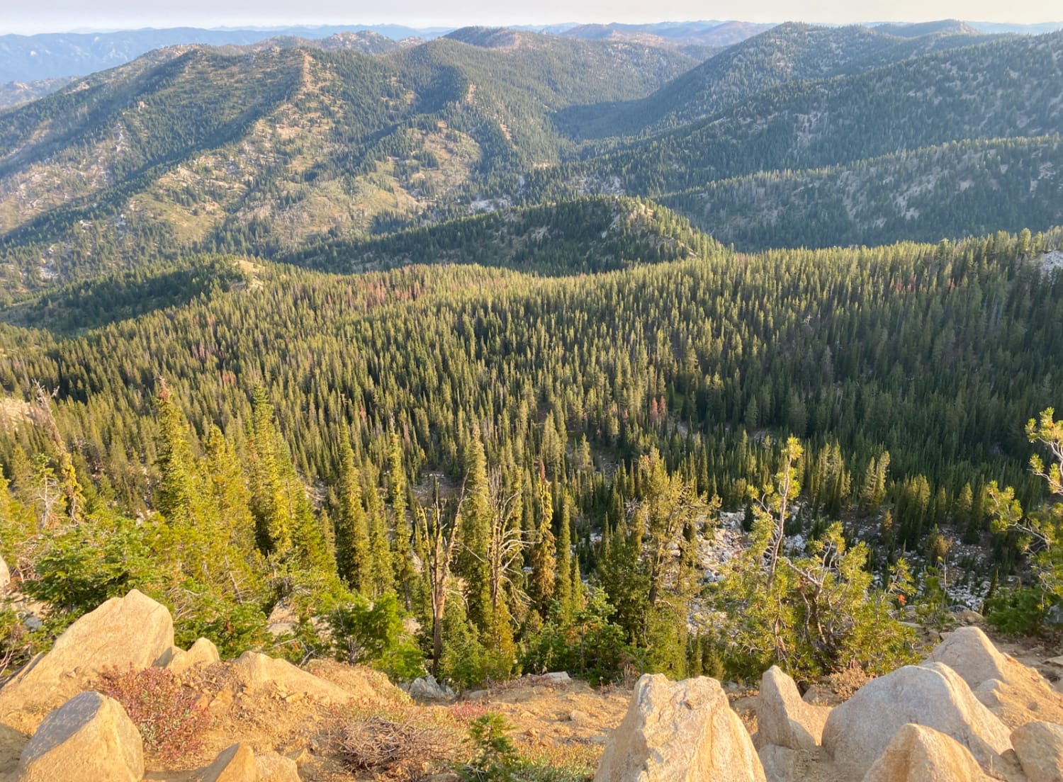
Airline is best run during spring or fall. It's a combination of smooth and flowy single track, coupled with both loose rock, and boulder sections. A fun adventure for intermediate riders. There are some spots…
Learn more about Airline
Total Miles
14.2
Tech Rating
5 Moderate
Best Time
Spring, Fall
Learn more about Akers-Excavation Trail 8240
Akers-Excavation Trail 8240

Akers-Excavation Trail 8240

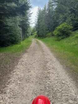
This trail starts out about as wide as a full road--very smooth, pretty wide open, and flat. It takes you back into the timber and stays this way for the majority of the ride before…
Learn more about Akers-Excavation Trail 8240
Total Miles
3.8
Tech Rating
3 Easy
Best Time
Summer, Fall
Learn more about Alder Creek Loop at Chimney Gulch
Alder Creek Loop at Chimney Gulch

Alder Creek Loop at Chimney Gulch

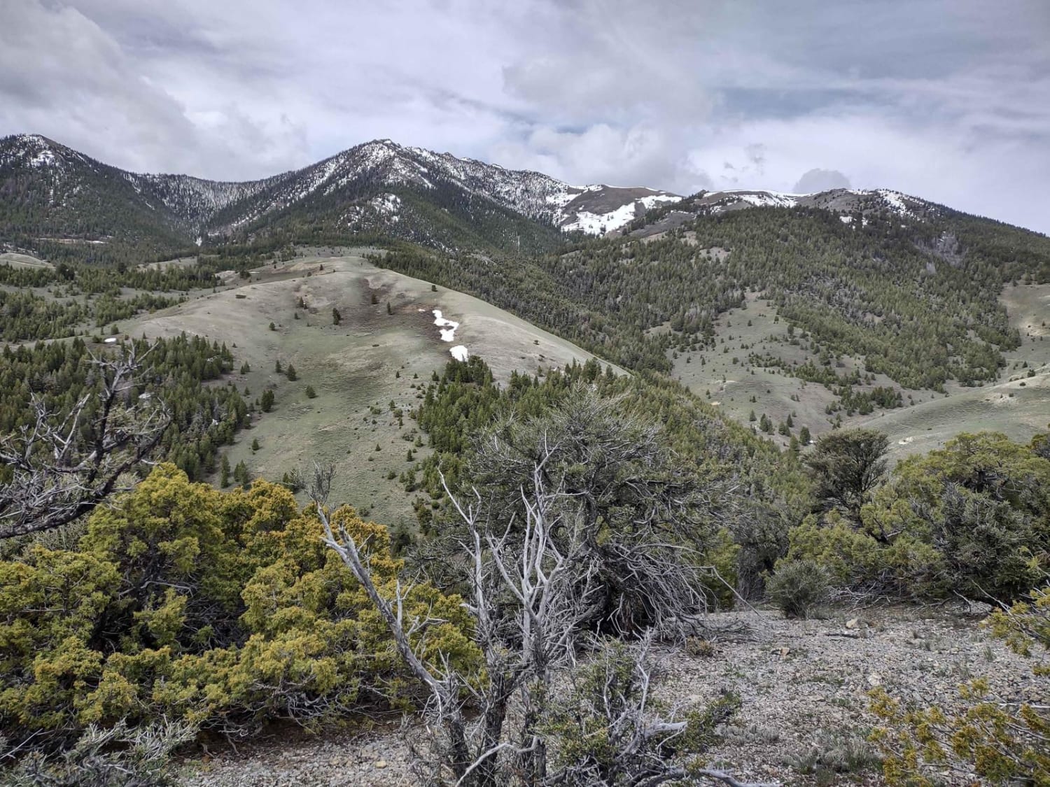
This two-and-a-half-mile loop goes from Chimney Gulch to the Tuscarora Gulch Trail. You go up to 8113 feet in the Lost River Range. This trail is also called Cliff Creek Road on the map. Early…
Learn more about Alder Creek Loop at Chimney Gulch
Total Miles
2.4
Tech Rating
2 Easy
Best Time
Spring, Summer, Fall
Learn more about Allen Canyon Pole Canyon Loop
Allen Canyon Pole Canyon Loop

Allen Canyon Pole Canyon Loop

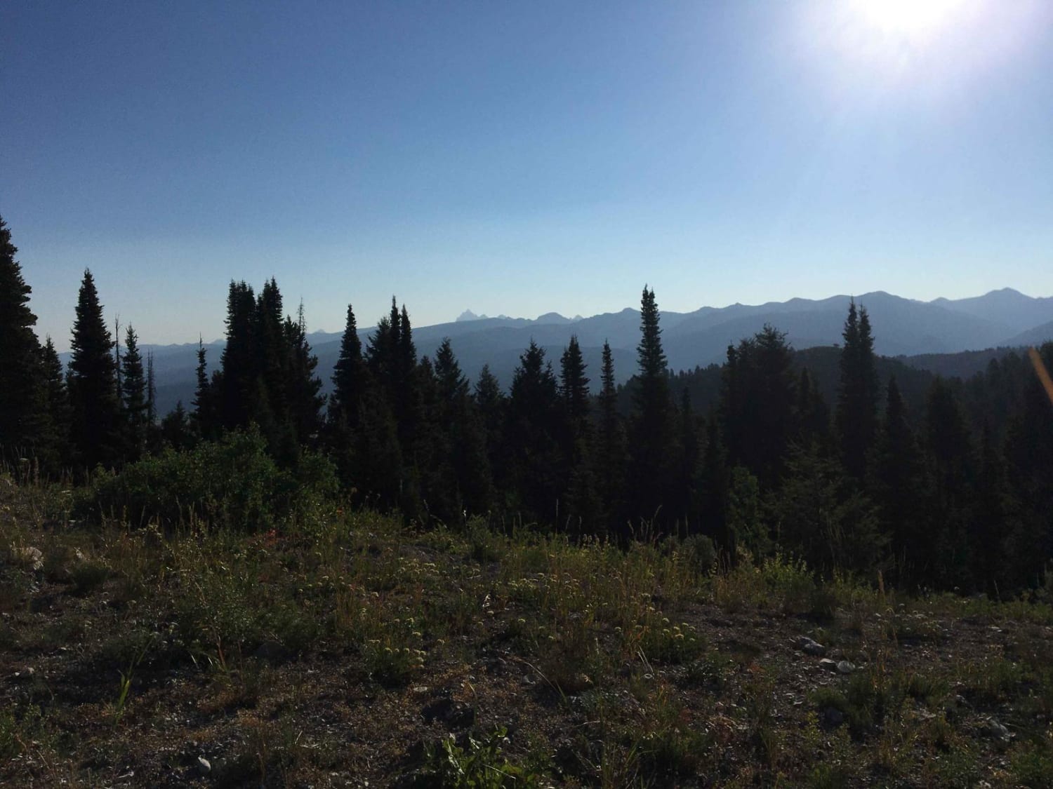
This trail traverses the foothills of Victor Idaho with gorgeous views of the Teton Range and on a clear day views of the Tetons themselves. If you aren't worried about heat, a ride in the…
Learn more about Allen Canyon Pole Canyon Loop
Total Miles
13.3
Tech Rating
6 Moderate
Best Time
Summer, Fall
Learn more about Along The Edge
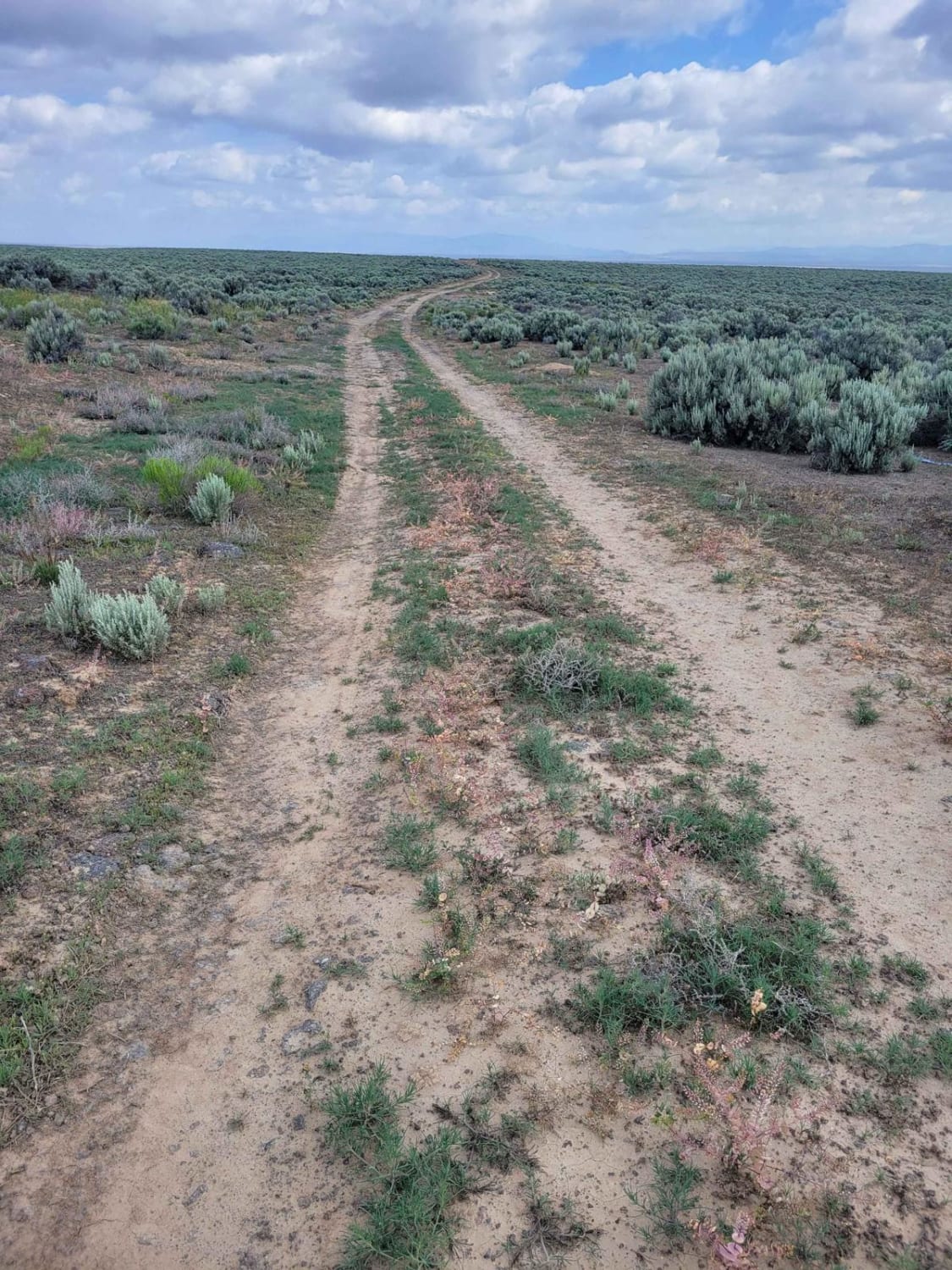
Along The Edge

Along The Edge

Another connecting trail to many of the others in the area, this one leads right along the fence line and, at one point, along the edge of the railroad tracks. At times the trail becomes…
Learn more about Along The Edge
Total Miles
8.0
Tech Rating
3 Easy
Best Time
Spring, Summer, Fall
Learn more about Ames Ridge NRT
Ames Ridge NRT

Ames Ridge NRT

Ames Ridge NRT is a fast and flowy 4-mile-long trail that side-hills through a pine forest. It feels like a classic mountain bike trail, being smooth and a bit easier, with gradual climbs, no obstacles,…
Learn more about Ames Ridge NRT
Total Miles
4.2
Tech Rating
4 Moderate
Best Time
Fall, Summer
Learn more about Anderson Mountain Trail
Anderson Mountain Trail

Anderson Mountain Trail

Anderson Mountain Trail is a pretty good mix of gravel, dirt, and rocks throughout the whole trail. It is a wide trail, where two full-size vehicles shouldn't have trouble passing each other at most points.…
Learn more about Anderson Mountain Trail
Total Miles
6.3
Tech Rating
2 Easy
Best Time
Summer, Fall
Learn more about Antelope Bay Loop and Lucas Point
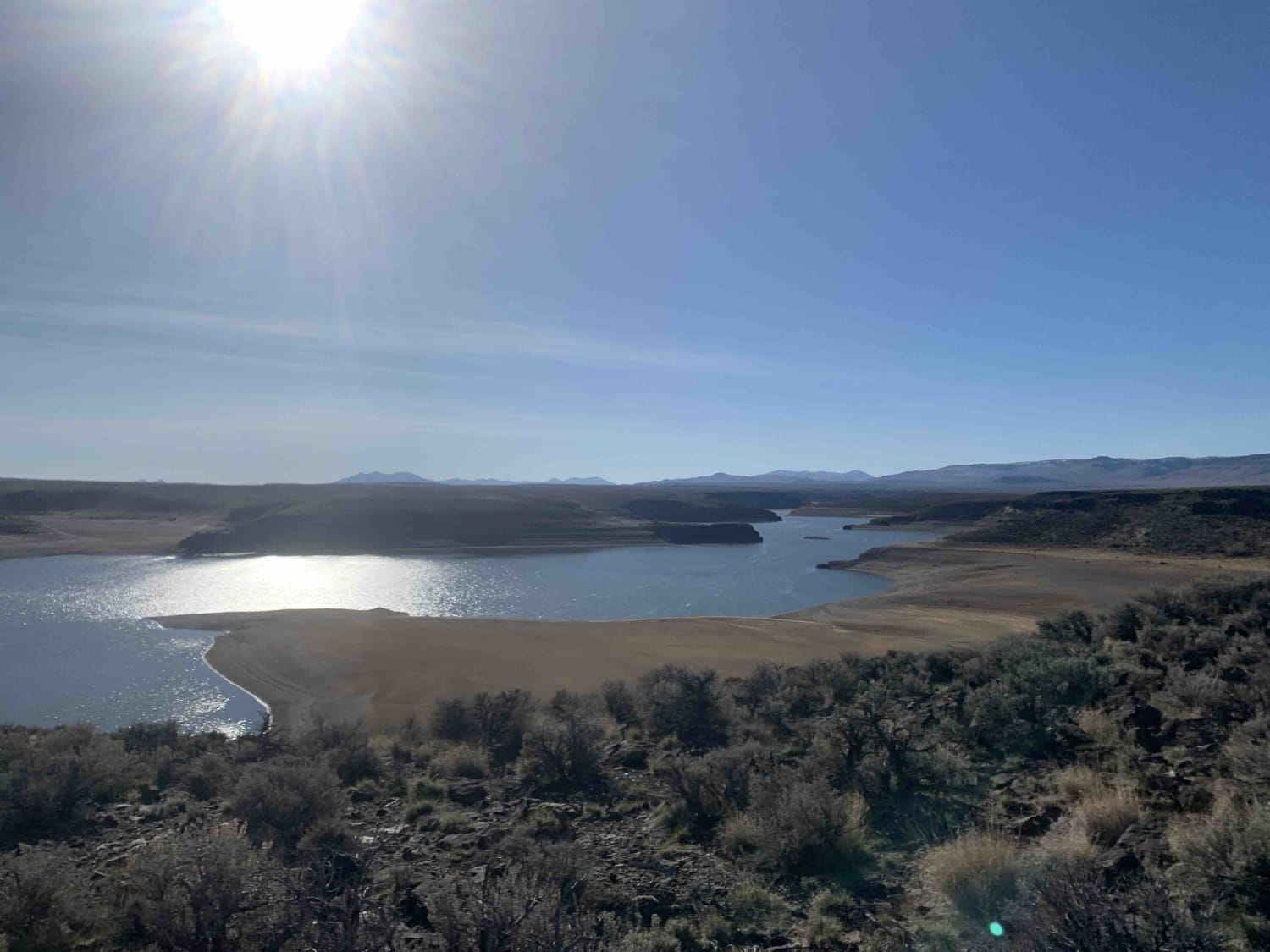
Antelope Bay Loop and Lucas Point

Antelope Bay Loop and Lucas Point

This is the southern section of the Antelope Bay Loop. It's the easier way out into the vista. The rail is dirt and gravel with a few deeper ruts from muddy traffic and cows. This…
Learn more about Antelope Bay Loop and Lucas Point
Total Miles
4.2
Tech Rating
3 Easy
Best Time
Fall, Summer, Spring
Learn more about Antelope Bay Loop Northern Section
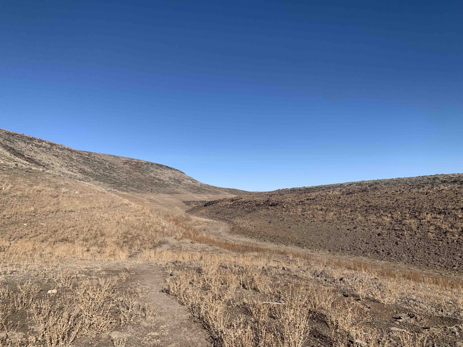
Antelope Bay Loop Northern Section

Antelope Bay Loop Northern Section

This is the northern section of what could be completed as a loop trail. It ends in one spot at an overlook above the Salmon Creek Falls Reservoir. The trail is on the open range,…
Learn more about Antelope Bay Loop Northern Section
Total Miles
3.5
Tech Rating
3 Easy
Best Time
Fall, Summer, Spring
Learn more about Antelope Creek to Fall Creek
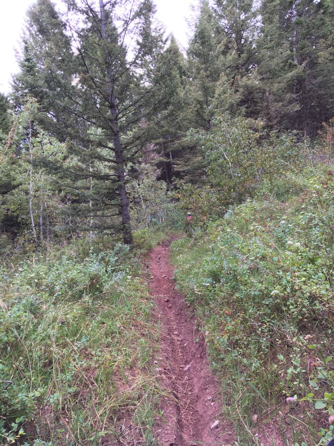
Antelope Creek to Fall Creek

Antelope Creek to Fall Creek

This route takes you from Antelope Creek Road to Fall Creek Road through the beautiful foothills of Conant Valley. The route includes lots of water even late in the season and lots of bridges. Elk…
Learn more about Antelope Creek to Fall Creek
Total Miles
12.8
Tech Rating
4 Moderate
Best Time
Summer, Fall
Learn more about Appendicitis Hill Spur #5
Appendicitis Hill Spur #5

Appendicitis Hill Spur #5

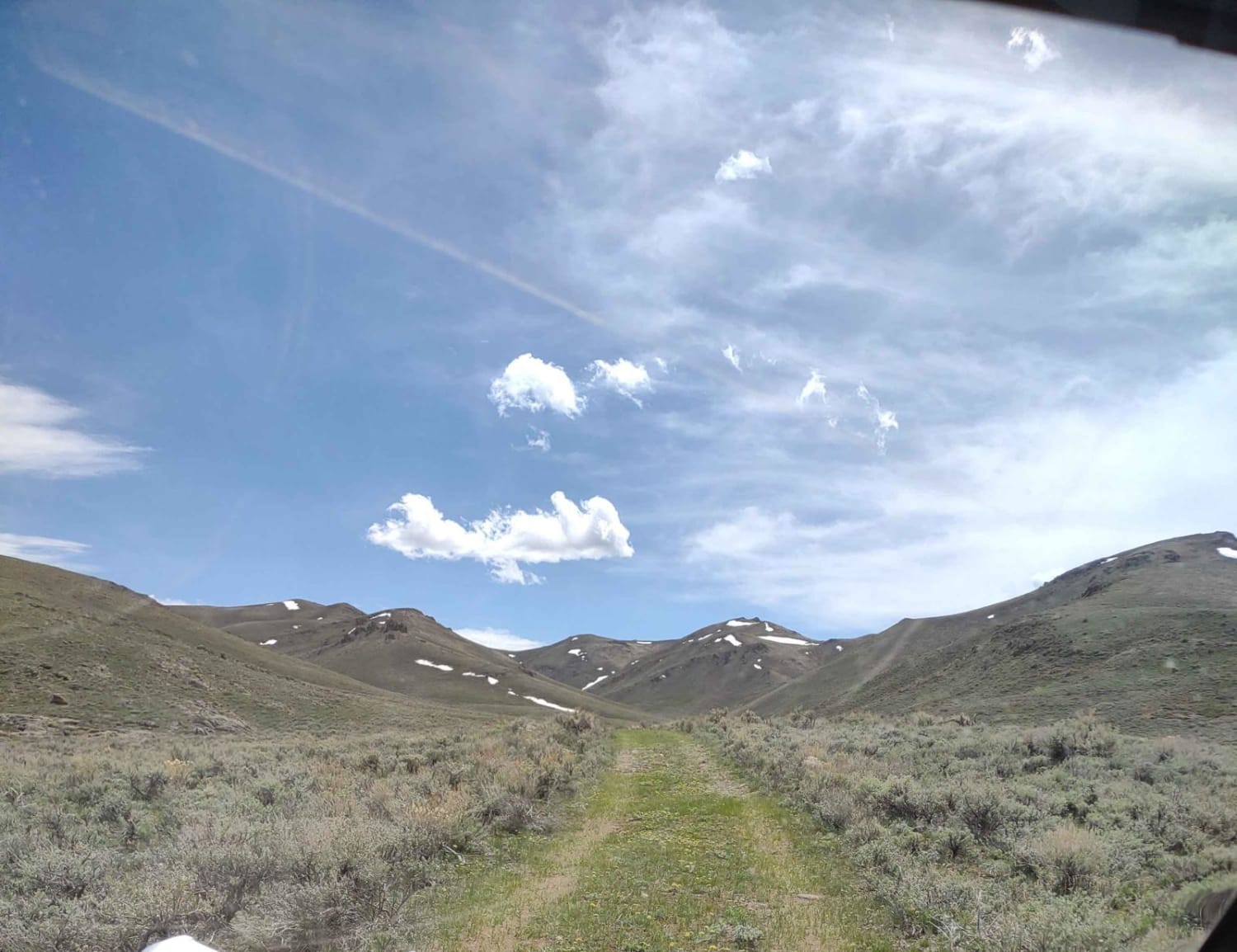
This 3-mile RT track connects with Appendicitis Hill Loop in two places and explores yet another part of the Appendicitis Hill Wilderness Study Area at about 7300 feet elevation. You can drive the entire trail…
Learn more about Appendicitis Hill Spur #5
Total Miles
1.4
Tech Rating
2 Easy
Best Time
Spring, Summer, Fall
Learn more about Appendicitis Hill Spur 2
Appendicitis Hill Spur 2

Appendicitis Hill Spur 2

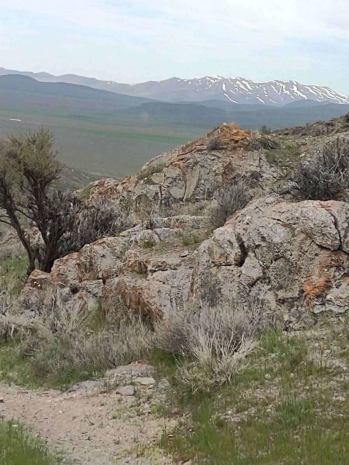
This half-mile spur into the Appendicitis Hill Wilderness Study Area takes you to 6381 feet. Opportunities for backpacking, hiking, wildlife viewing, climbing, sightseeing, and photography are available here. The area is steep and rugged, so…
Learn more about Appendicitis Hill Spur 2
Total Miles
0.6
Tech Rating
2 Easy
Best Time
Spring, Summer, Fall
Learn more about Appendicitis Hill WSA Loop
Appendicitis Hill WSA Loop

Appendicitis Hill WSA Loop

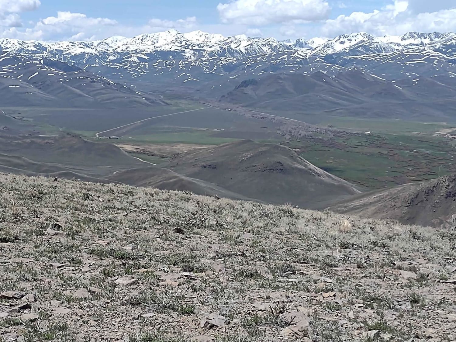
This 9.5-mile track takes you further into the Appendicitis Hill Wilderness Study Area, and to an elevation of 7550 feet. Opportunities for backpacking, hiking, wildlife viewing, climbing, sightseeing, and photography are available here. The area…
Learn more about Appendicitis Hill WSA Loop
Total Miles
8.9
Tech Rating
2 Easy
Best Time
Spring, Summer, Fall
Learn more about Appendicitis Hill WSA Spur #7
Appendicitis Hill WSA Spur #7

Appendicitis Hill WSA Spur #7

This 2-mile RT dead-end spur explores one more area of the Appendicitis Hill Wilderness Area. Opportunities for backpacking, hiking, wildlife viewing, climbing, sightseeing, and photography are available here. The area is steep and rugged, so…
Learn more about Appendicitis Hill WSA Spur #7
Total Miles
0.7
Tech Rating
2 Easy
Best Time
Spring, Summer, Fall
Learn more about Arco Hills Road
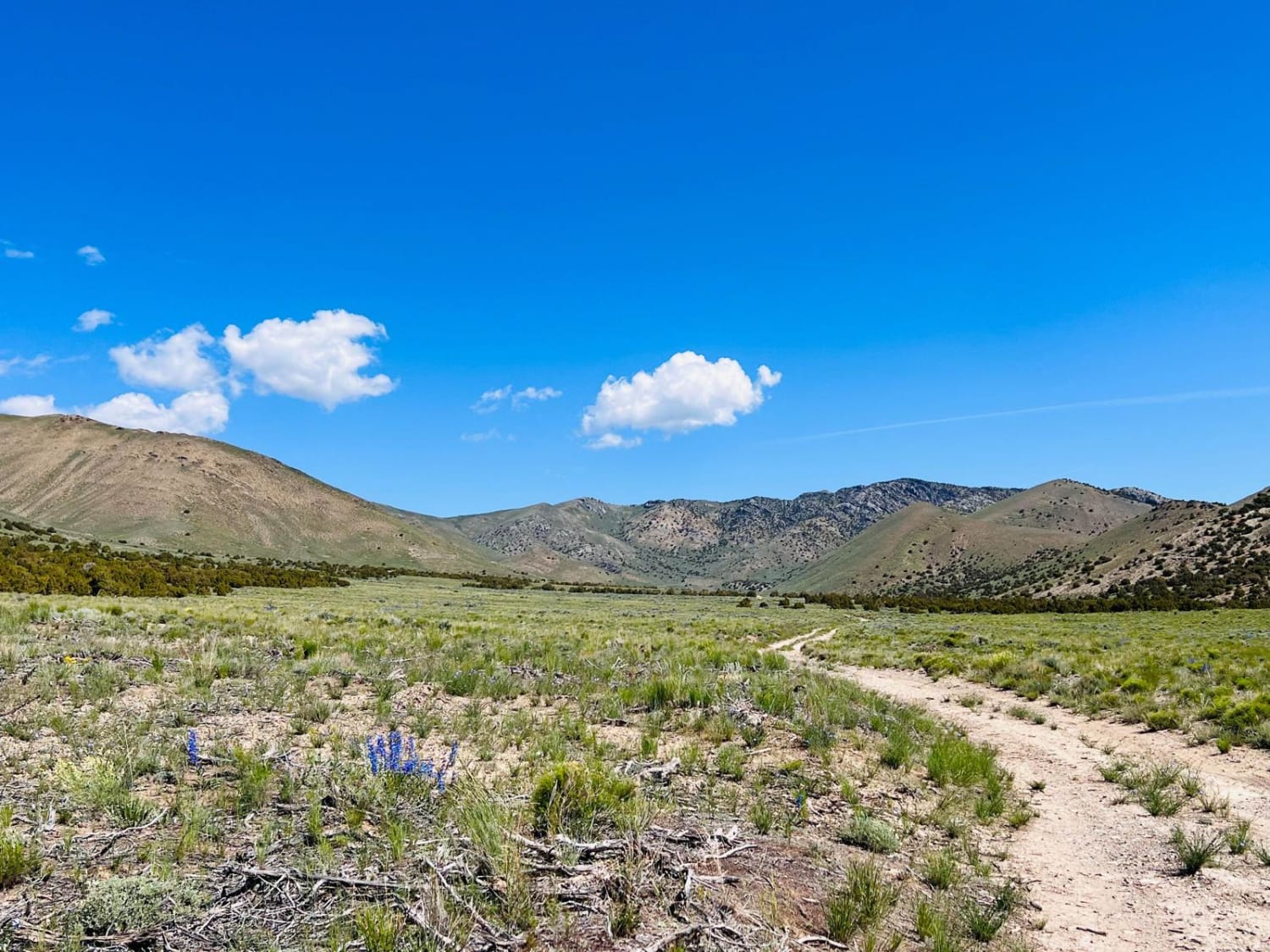
Arco Hills Road

Arco Hills Road

This is an odd little trail out through a valley outside of Arco. It's just off the main highway, and the turn-off is at a funny angle that is easily missed. If you are looking…
Learn more about Arco Hills Road
Total Miles
2.7
Tech Rating
2 Easy
Best Time
Spring, Summer
Learn more about Arco Pass Road to Wood Canyon
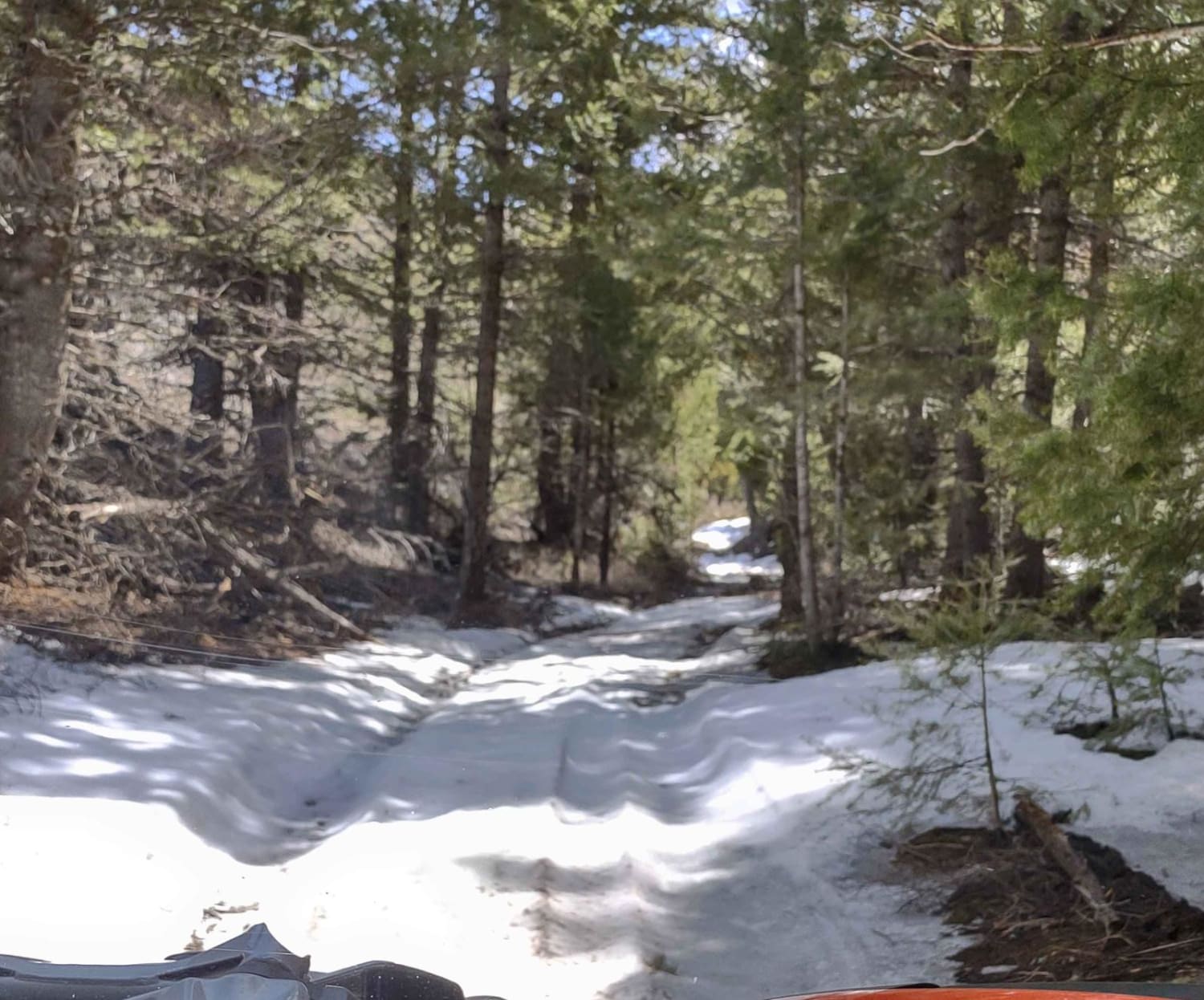
Arco Pass Road to Wood Canyon

Arco Pass Road to Wood Canyon

This 10-mile track, each way, takes you into Wood Canyon, under the shadow of Howe Peak. Nearby peaks include the Howe Peak Ridge and Jumpoff Peak. Most of the trail is in the Challis National…
Learn more about Arco Pass Road to Wood Canyon
Total Miles
9.7
Tech Rating
2 Easy
Best Time
Spring, Summer, Fall
Learn more about Arco Pass to Horsethief Canyon
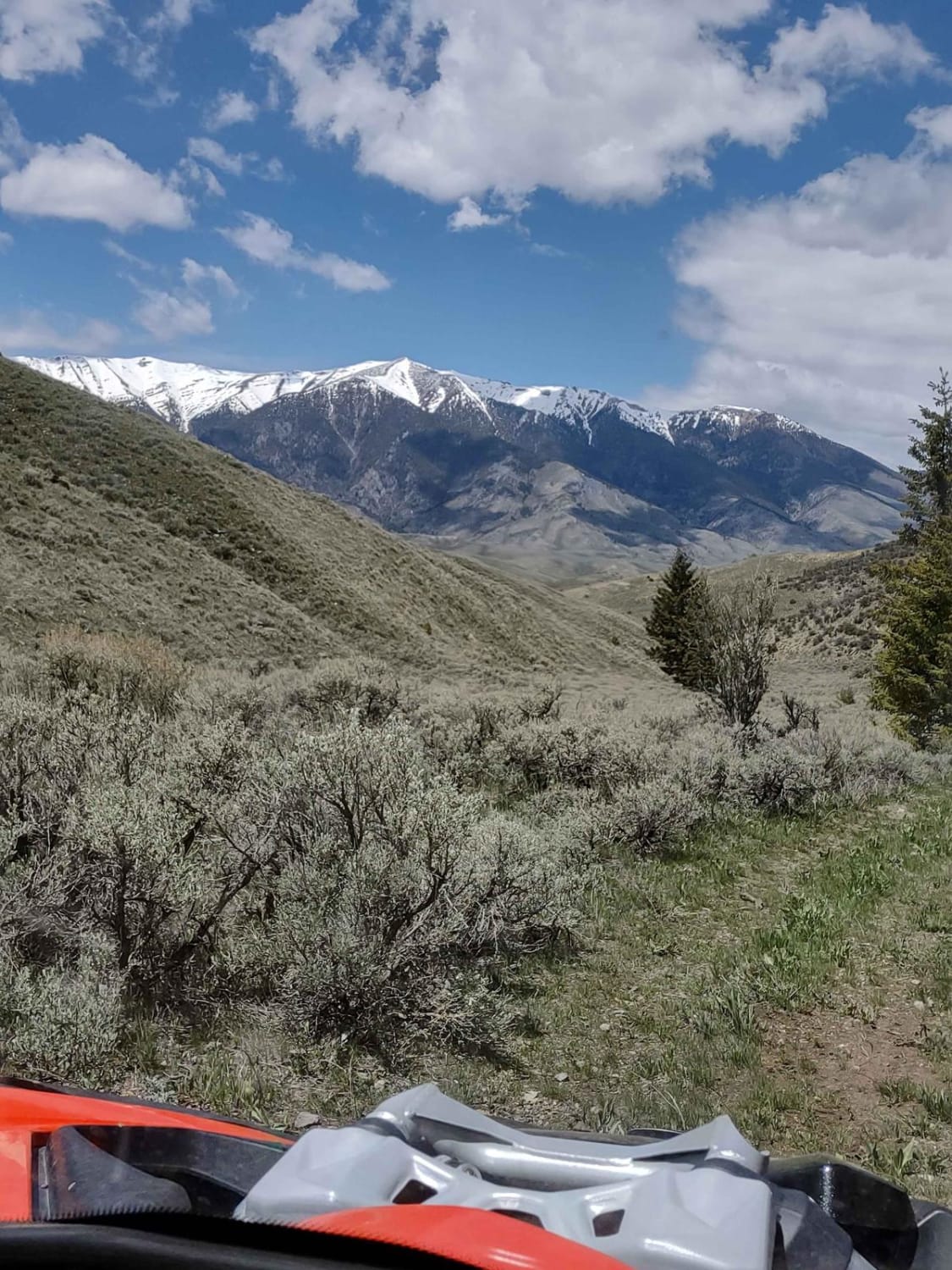
Arco Pass to Horsethief Canyon

Arco Pass to Horsethief Canyon

Horsethief Canyon is roughly 20 miles out of Arco, Idaho, and if you follow Arco Pass, including all of the side spurs, this is a full-day trip round-trip track. You go deep into the Challis…
Learn more about Arco Pass to Horsethief Canyon
Total Miles
1.5
Tech Rating
2 Easy
Best Time
Spring, Summer, Fall
Learn more about Arco Pass to Horsethief Spur #3
Arco Pass to Horsethief Spur #3

Arco Pass to Horsethief Spur #3

This 3-mile track goes from Arco Pass to Hurst Canyon Trail further into the Challis National Forest. Opportunities to see wildlife increase the further into the National Forest you go. If you're here in the…
Learn more about Arco Pass to Horsethief Spur #3
Total Miles
2.9
Tech Rating
2 Easy
Best Time
Spring, Summer, Fall
Learn more about Arco Pass to Horsethief Spur #5
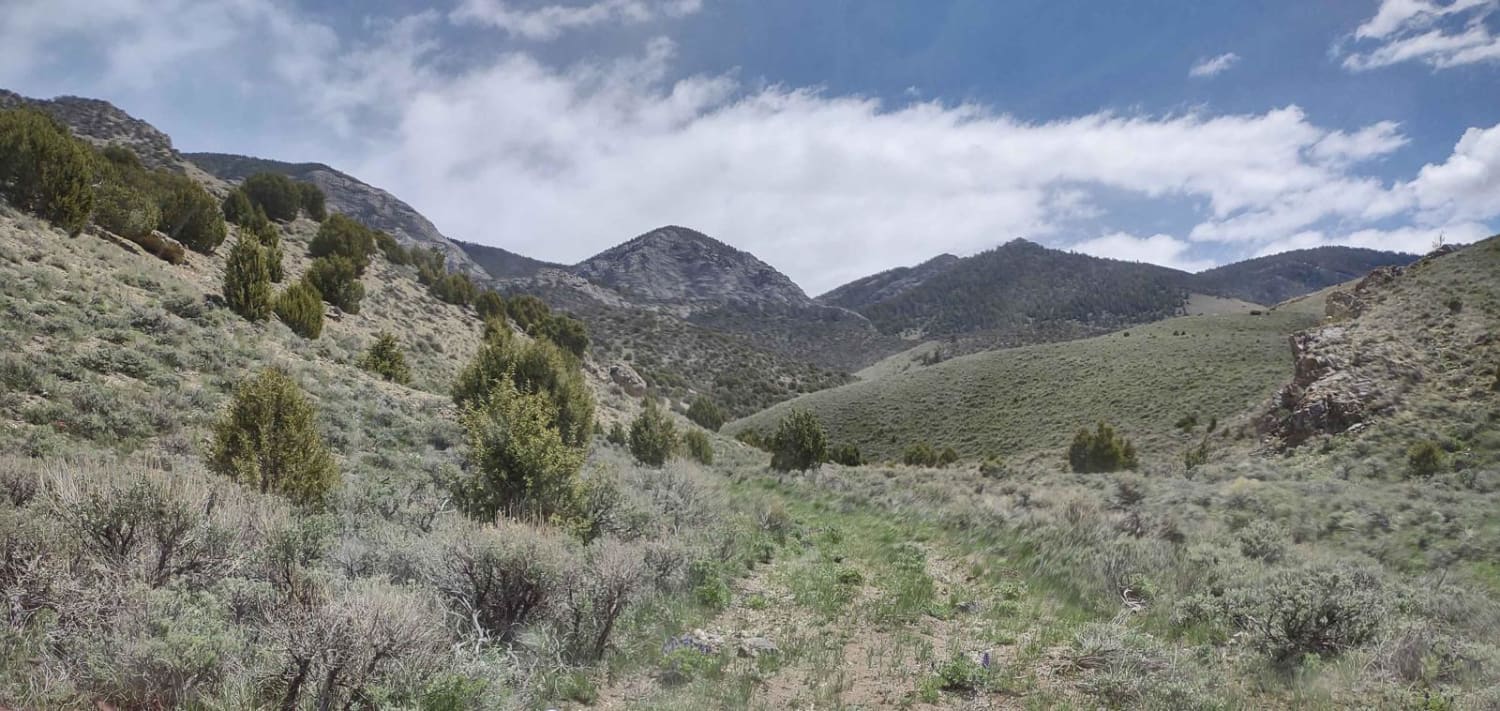
Arco Pass to Horsethief Spur #5

Arco Pass to Horsethief Spur #5

This 2-mile track takes you deeper into Horsethief Canyon and out Spur #5. You are at about 6700 feet in the Challis National Forest, where the opportunities for wildlife viewing are abundant. This is an…
Learn more about Arco Pass to Horsethief Spur #5
Total Miles
2.1
Tech Rating
2 Easy
Best Time
Spring, Summer, Fall
Learn more about Arco Pass to Horsethief Spur #6
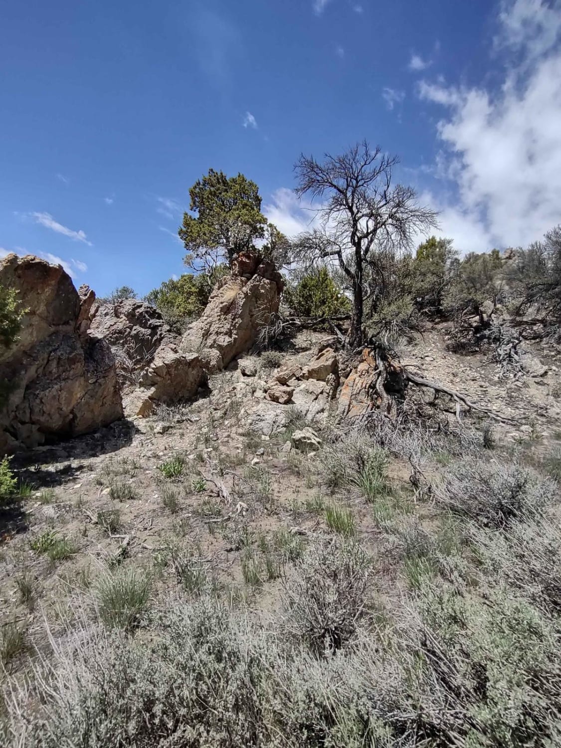
Arco Pass to Horsethief Spur #6

Arco Pass to Horsethief Spur #6

This 1.6-mile track takes you a little further into Horsethief Canyon and then down into Spur #6, deep in the Challis National Forest. Elk and deer are plentiful at different times of the year. The…
Learn more about Arco Pass to Horsethief Spur #6
Total Miles
1.6
Tech Rating
2 Easy
Best Time
Spring, Summer, Fall
1 2 3 4 5 6 7 8 9 10 ... 42

The onX Offroad Difference

onX Offroad combines trail photos, descriptions, difficulty ratings, width restrictions, seasonality, and more in a user-friendly interface. Available on all devices, with offline access and full compatibility with CarPlay and Android Auto. Discover what you’re missing today!