Off-Road Trails in Idaho

Discover off-road trails in Idaho

Learn more about Route 352 to Chinese Peak
Route 352 to Chinese Peak

Route 352 to Chinese Peak

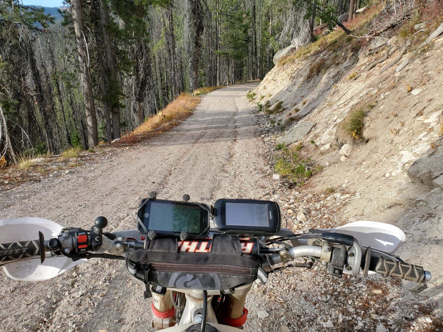
Start just off of American Road and West Buckskin Road. The road is marked 352. This short route just outside of Pocatello is thrilling. In about three miles you gain 1700 feet in elevation. In…
Learn more about Route 352 to Chinese Peak
Total Miles
3.4
Tech Rating
6 Moderate
Best Time
Spring
Learn more about Ruben Hollow to Davis Basin 7441
Ruben Hollow to Davis Basin 7441

Ruben Hollow to Davis Basin 7441

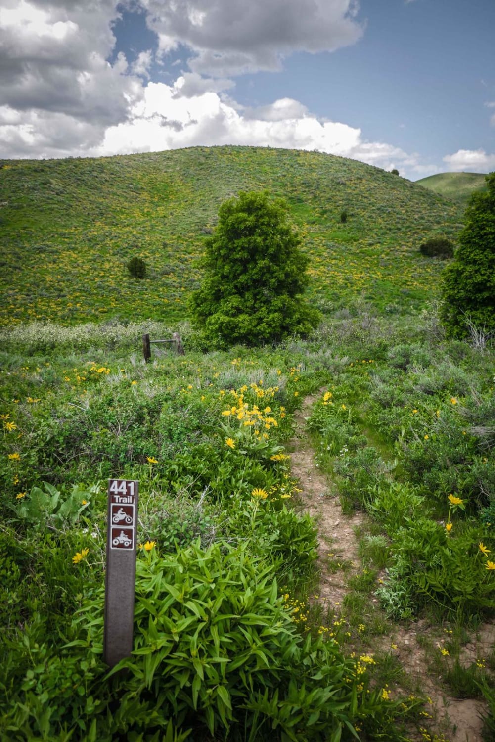
This short ATV trail is one of several ATV trails in the Caribou National Forest between Malad and Preston, Idaho. The trails in this area can be ridden as a fun day ride in combination…
Learn more about Ruben Hollow to Davis Basin 7441
Total Miles
2.6
Tech Rating
4 Moderate
Best Time
Fall, Summer, Spring
Learn more about Ruben Hollow to Weston Peak 7443
Ruben Hollow to Weston Peak 7443

Ruben Hollow to Weston Peak 7443

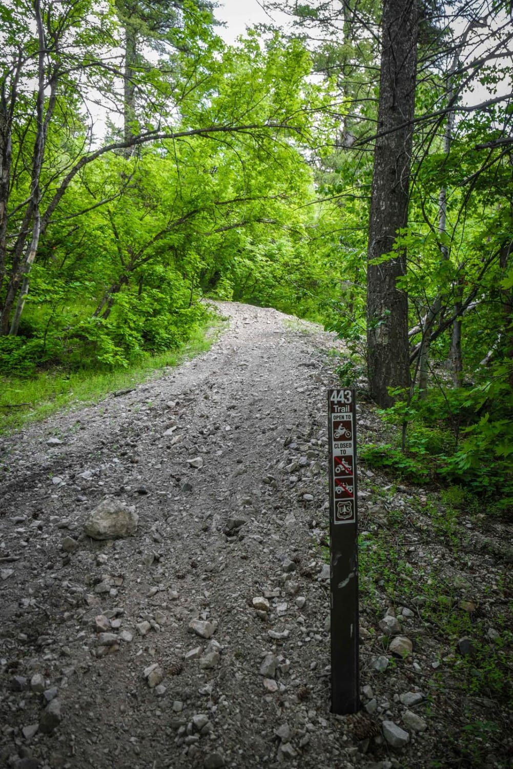
This is an epic single track in the Caribou National Forest near Preston, Idaho. It is full of narrow side hill sections, wildflowers in the spring and summer, and amazing views of the surrounding mountain…
Learn more about Ruben Hollow to Weston Peak 7443
Total Miles
2.9
Tech Rating
6 Moderate
Best Time
Fall, Summer, Spring
Learn more about Ruby Creek
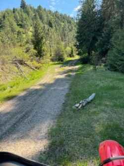
Ruby Creek

Ruby Creek

Starting right at the trailhead, this is the main trail in the Ruby Creek/Mt. Margaret trail system. It is a relatively easy, two-track trail with some ruts, potholes, and washes but overall is a very…
Learn more about Ruby Creek
Total Miles
4.7
Tech Rating
2 Easy
Best Time
Spring, Summer, Fall
Learn more about Ruby Creek C
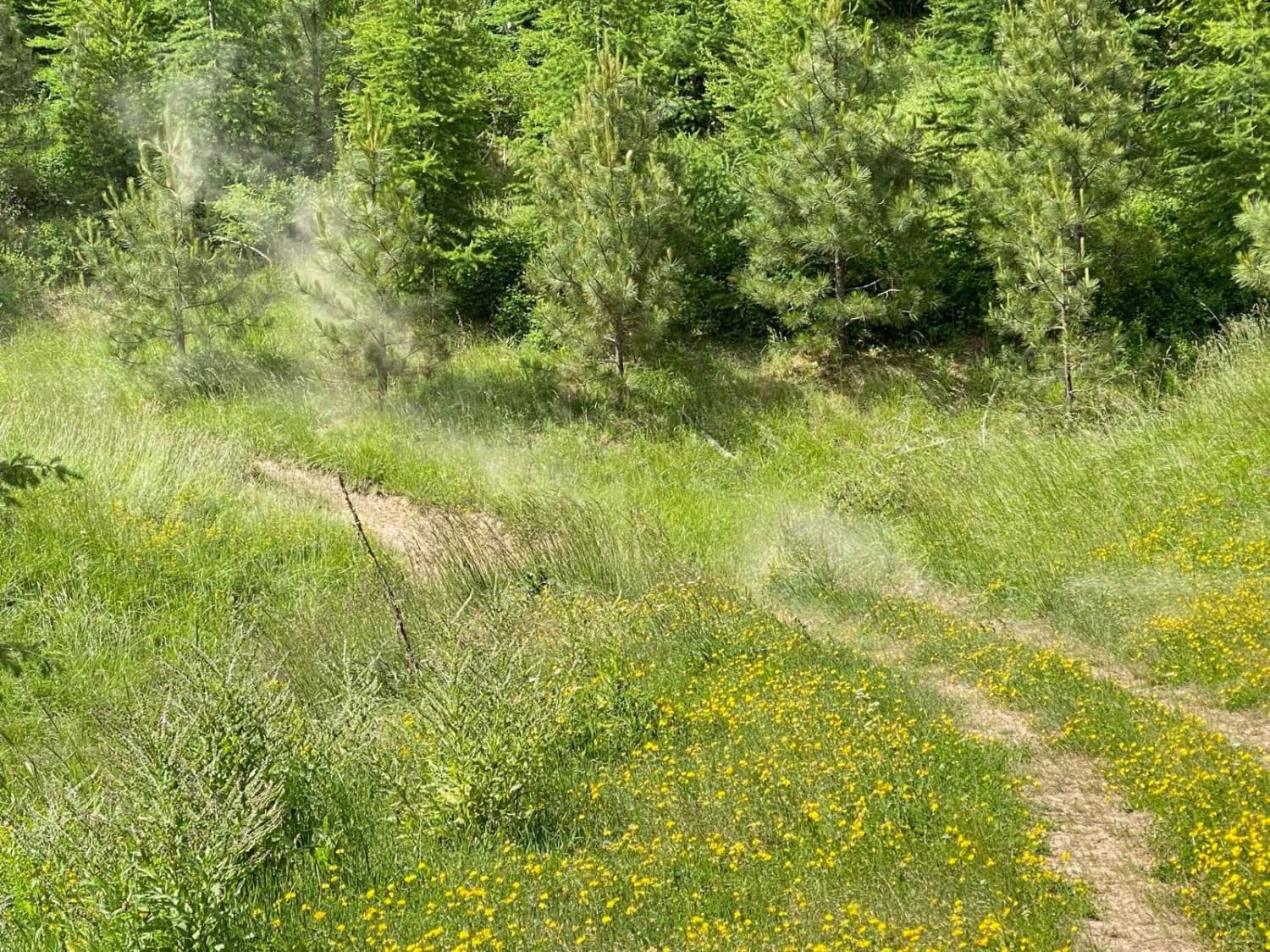
Ruby Creek C

Ruby Creek C

This trail travels through an old clearcut and has a variety of level fast sections, water bars, and some really fun corners that drop in steep and bank back up pretty steeply where the trail…
Learn more about Ruby Creek C
Total Miles
2.1
Tech Rating
4 Moderate
Best Time
Summer, Fall
Learn more about Ruen Run
Ruen Run

Ruen Run

This connector trail links the upper ridge trail network to the trails below. There are plenty of tight turns and switchbacks. The occasional offshoot leads to a locked gate or a decent place to dispersed…
Learn more about Ruen Run
Total Miles
9.9
Tech Rating
3 Easy
Best Time
Summer, Spring, Fall
Learn more about Saddle Camp
Saddle Camp

Saddle Camp

This is an easy access road from Highway 12 to the trails and roads to the north. This is one of the few access points to the Lolo Motorway from 12. There is a camping…
Learn more about Saddle Camp
Total Miles
8.5
Tech Rating
1 Easy
Best Time
Spring, Summer, Fall
Learn more about Sadorus Hill Road (20169)
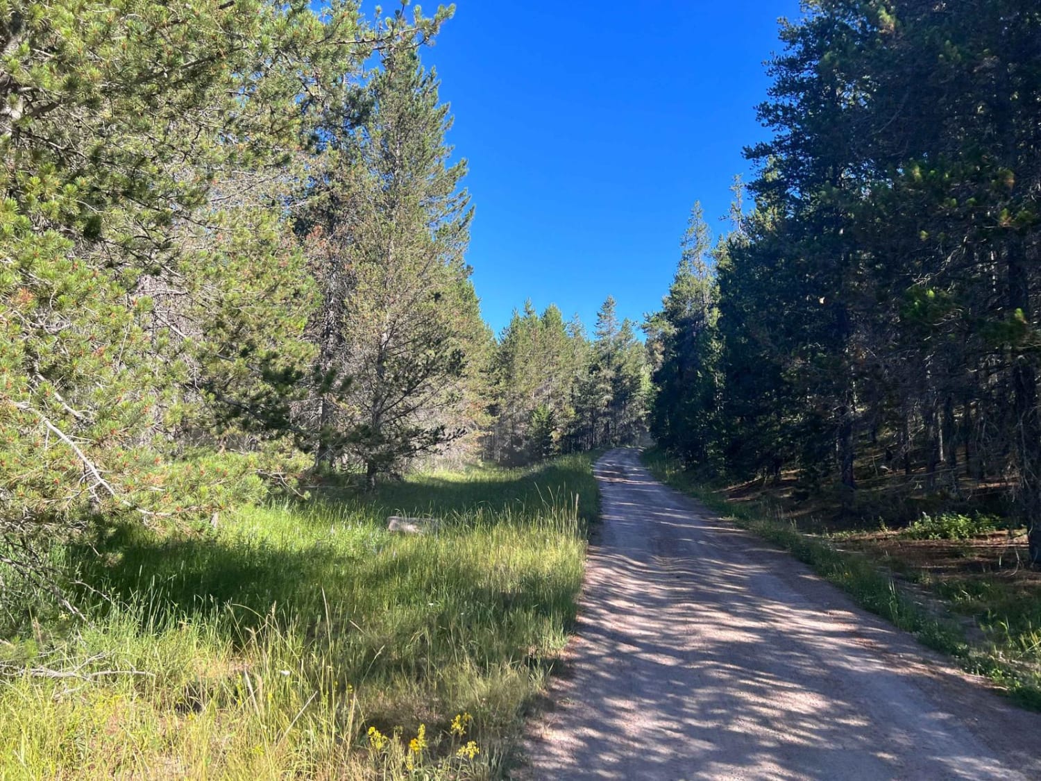
Sadorus Hill Road (20169)

Sadorus Hill Road (20169)

This is a Forest Service Road that connects to Highway 20 and the St. Anthony area. People can go to the St. Anthony Sand Dunes via roads along this path. There are also numerous 50-inch…
Learn more about Sadorus Hill Road (20169)
Total Miles
10.0
Tech Rating
2 Easy
Best Time
Fall, Summer, Spring
Learn more about Saint Joe Baldy
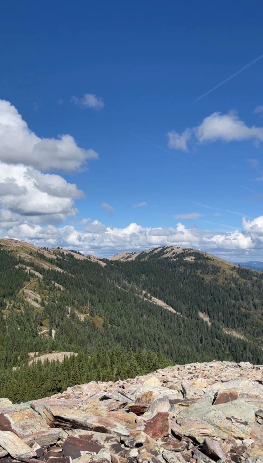
Saint Joe Baldy

Saint Joe Baldy

If you're in search of breathtaking vistas that stretch as far as the eye can see, look no further than these magnificent trails. Nestled amidst nature's beauty, these paths offer an opportunity to connect with…
Learn more about Saint Joe Baldy
Total Miles
9.2
Tech Rating
2 Easy
Best Time
Spring, Summer, Fall
Learn more about Salmon Creek T4800
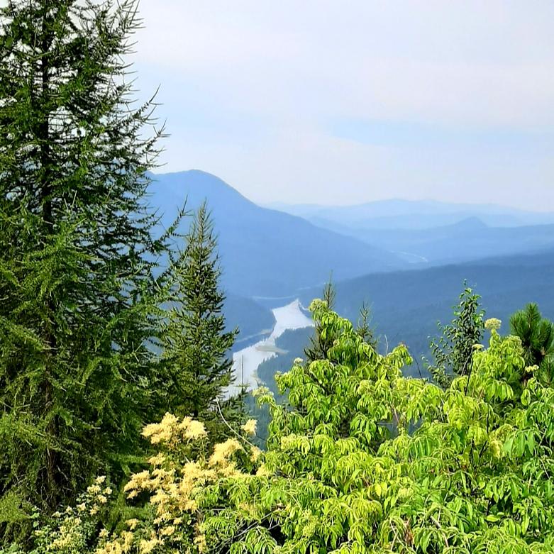
Salmon Creek T4800

Salmon Creek T4800

Trail is smooth with gentle grades.
Learn more about Salmon Creek T4800
Total Miles
7.0
Tech Rating
2 Easy
Best Time
Summer
Learn more about Sawmill Creek
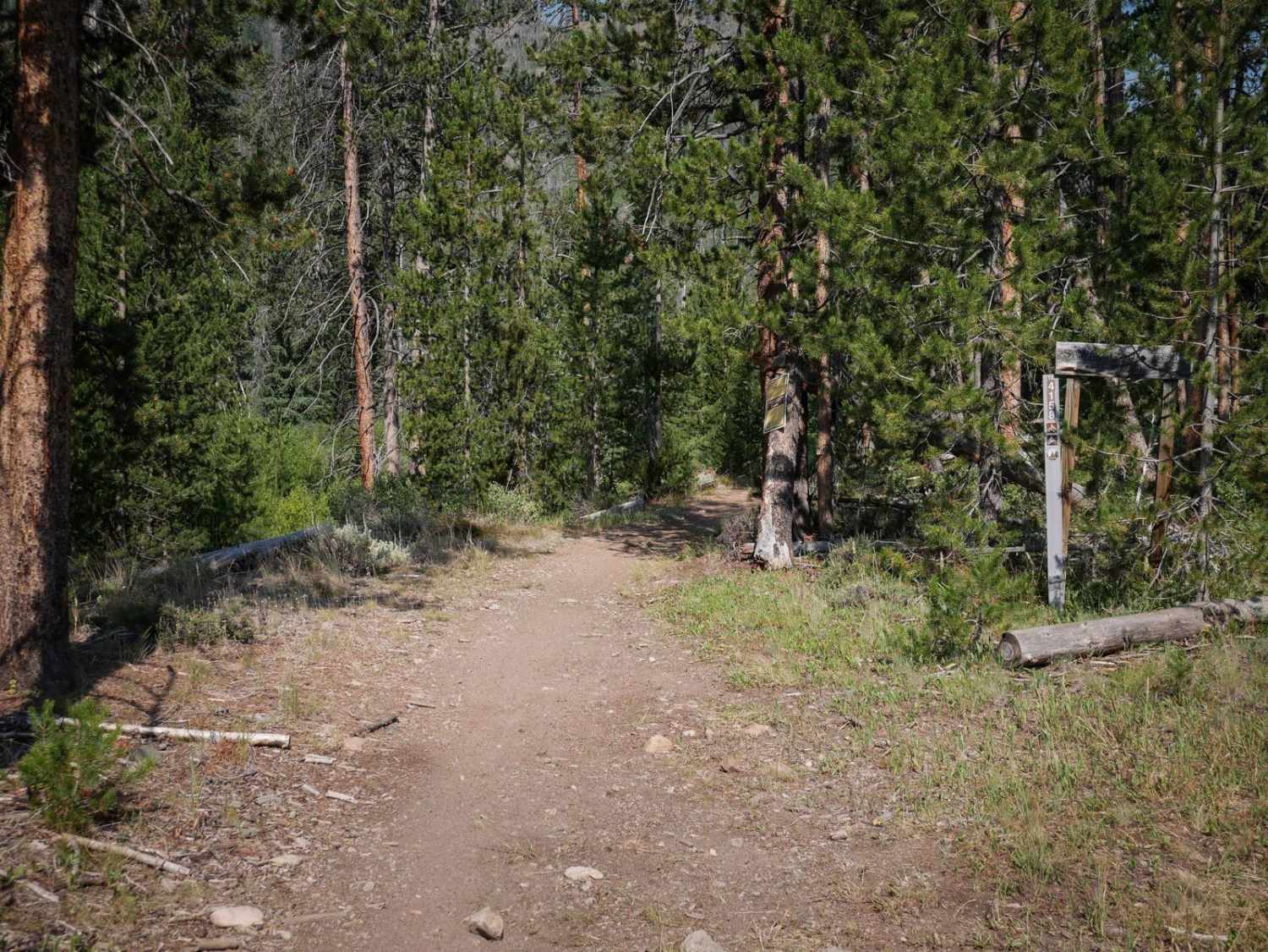
Sawmill Creek

Sawmill Creek

Sawmill Creek is a 3.5-mile-long single track through the Challis National Forest. The east entrance starts at a trailhead at a campsite down from Sawmill Transfer Road. It starts as a narrow dirt single track…
Learn more about Sawmill Creek
Total Miles
3.3
Tech Rating
4 Moderate
Best Time
Summer, Fall
Learn more about Sawtell Peak
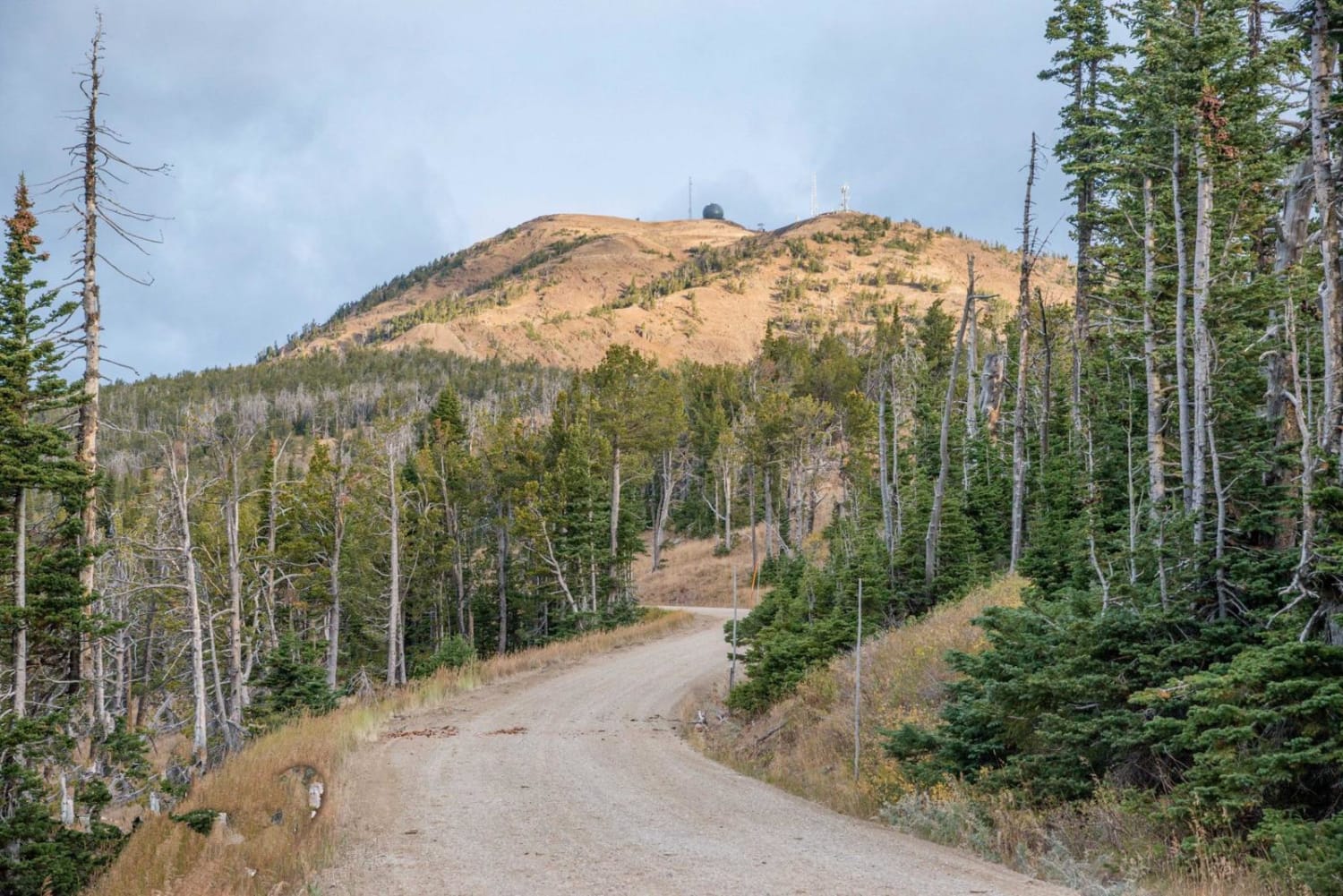
Sawtell Peak

Sawtell Peak

Sawtell Peak Road is a great destination for anyone that enjoys sweeping views. It takes you more than 9,800 feet to great 360-degree views of 3 different states. This makes a perfect unique stop to…
Learn more about Sawtell Peak
Total Miles
9.7
Tech Rating
3 Easy
Best Time
Spring, Summer, Fall, Winter
Learn more about Sawtooth Mountain Views Loop
Sawtooth Mountain Views Loop

Sawtooth Mountain Views Loop

An easy dirt loop trail that picks up from Lower Stanley, gains slight elevation and has a stunning view of the Sawtooth Mountain Range, and looks down over the town of Upper Stanley. There are…
Learn more about Sawtooth Mountain Views Loop
Total Miles
5.0
Tech Rating
1 Easy
Best Time
Summer, Fall
Learn more about Scout Mountain
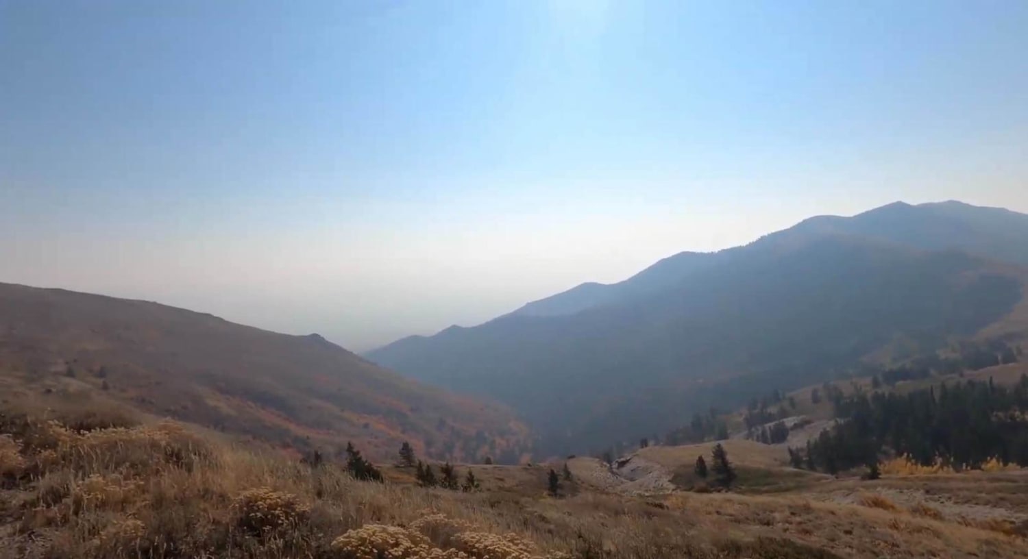
Scout Mountain

Scout Mountain

This trail is just outside of Pocatello. It goes into the National Forest, so there is some free camping in this area. On this trail, you will gain 3,000 feet in elevation. You start down…
Learn more about Scout Mountain
Total Miles
11.5
Tech Rating
2 Easy
Best Time
Spring, Summer, Fall
Learn more about Scribner Ridge
Scribner Ridge

Scribner Ridge

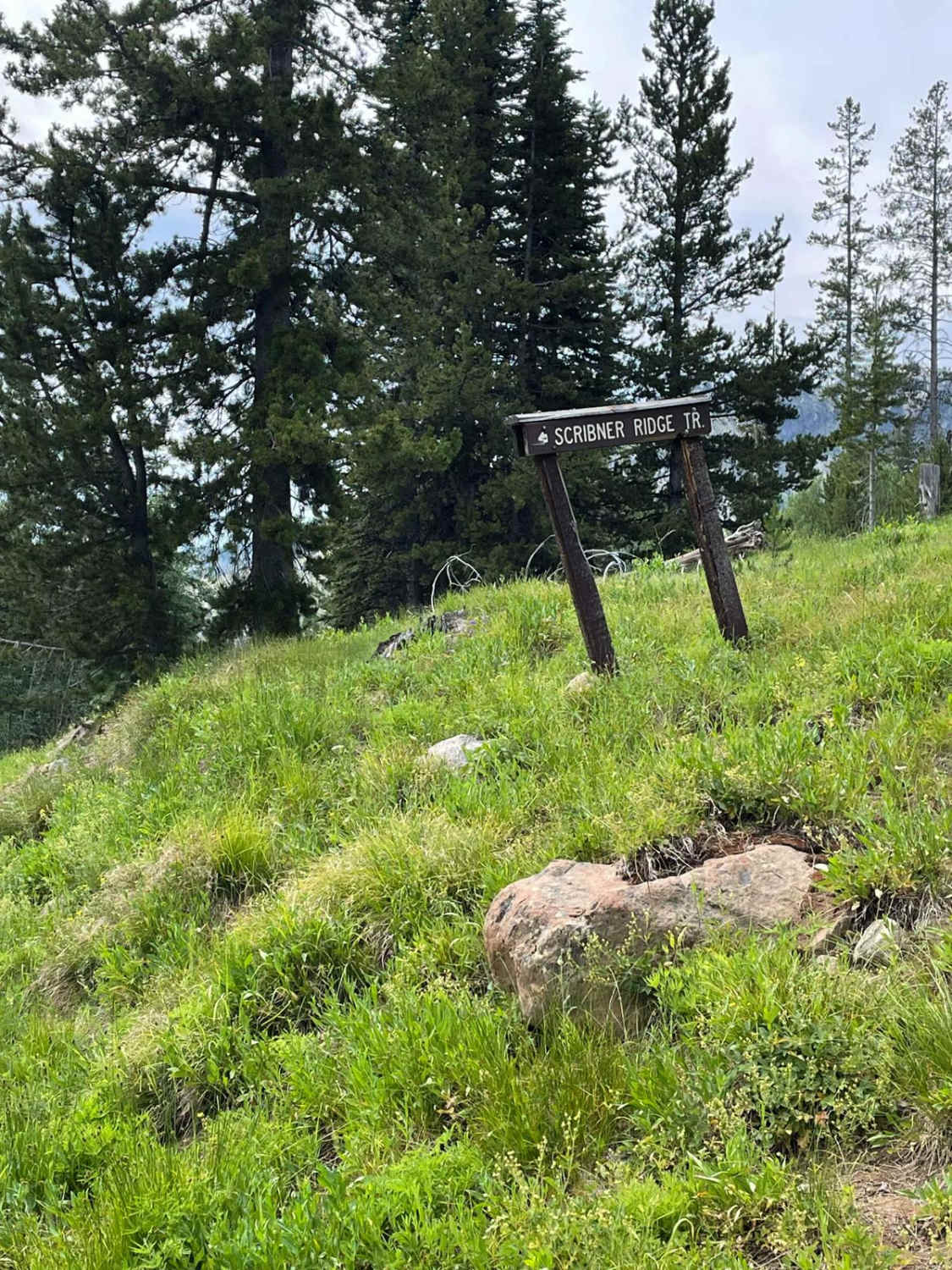
The Scribner Ridge singletrack is an easy trail that begins with a shallow, rutted, and slightly rocky section. It then leads into a thick, heavily forested area for the majority of the trail. Although there…
Learn more about Scribner Ridge
Total Miles
1.3
Tech Rating
2 Easy
Best Time
Summer, Fall
Learn more about Second Fork
Second Fork

Second Fork

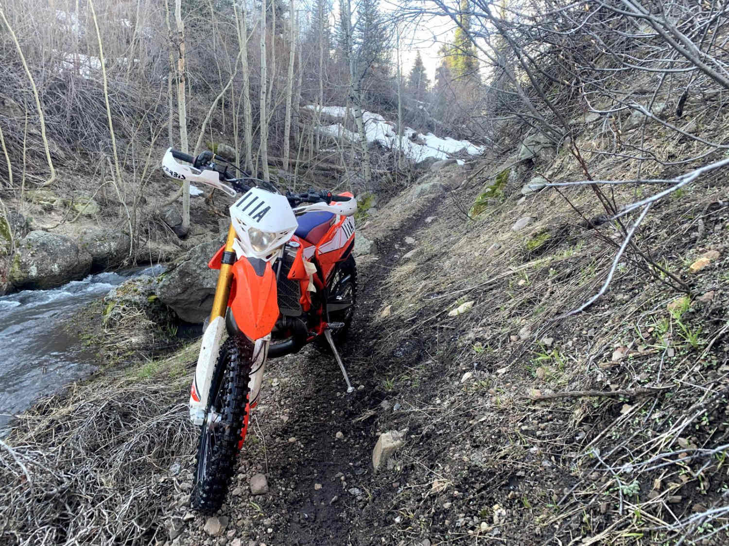
This is an open single-track trail with multiple creek crossings. There are multiple tight corners with large rocks bordering the trail. There are a few climbs and drops in elevation throughout the trail, but it…
Learn more about Second Fork
Total Miles
4.4
Tech Rating
3 Easy
Best Time
Spring, Summer, Fall
Learn more about Shattuck Butte
Shattuck Butte

Shattuck Butte

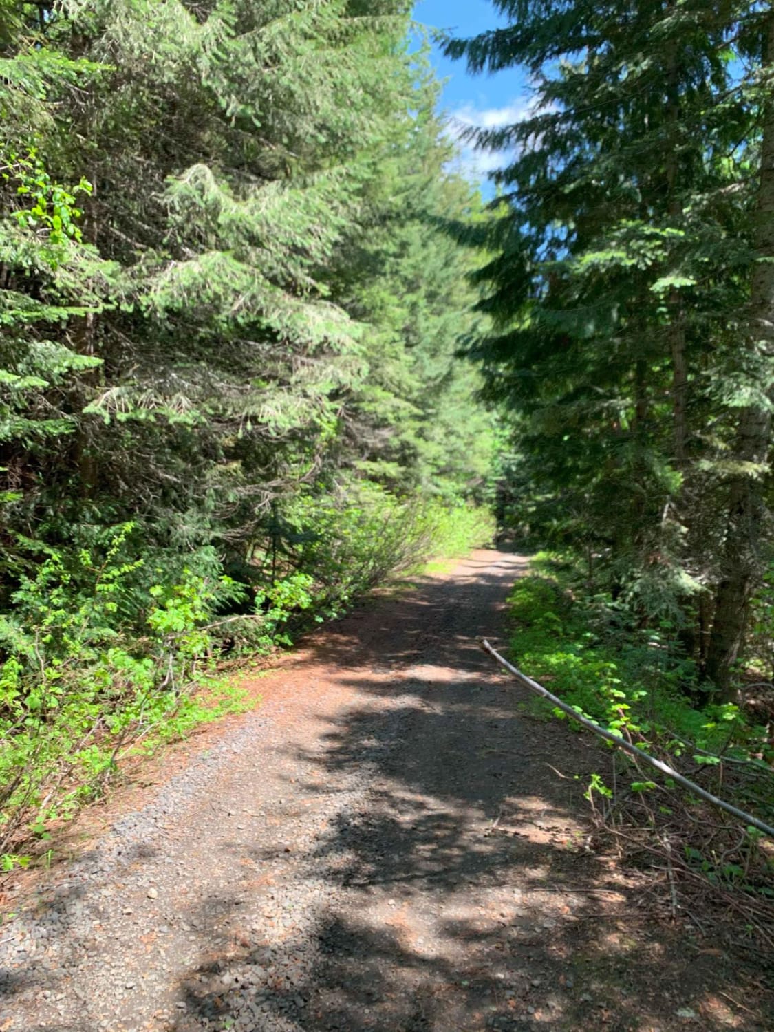
This trail takes you from the Elk Creek Basin and up over Shattuck Butte down to Morris Creek. The route starts by climbing up West Fork. Lindley Creek Road and then over several logging roads…
Learn more about Shattuck Butte
Total Miles
9.0
Tech Rating
2 Easy
Best Time
Summer, Fall
Learn more about Sheep Canyon 1
Sheep Canyon 1

Sheep Canyon 1

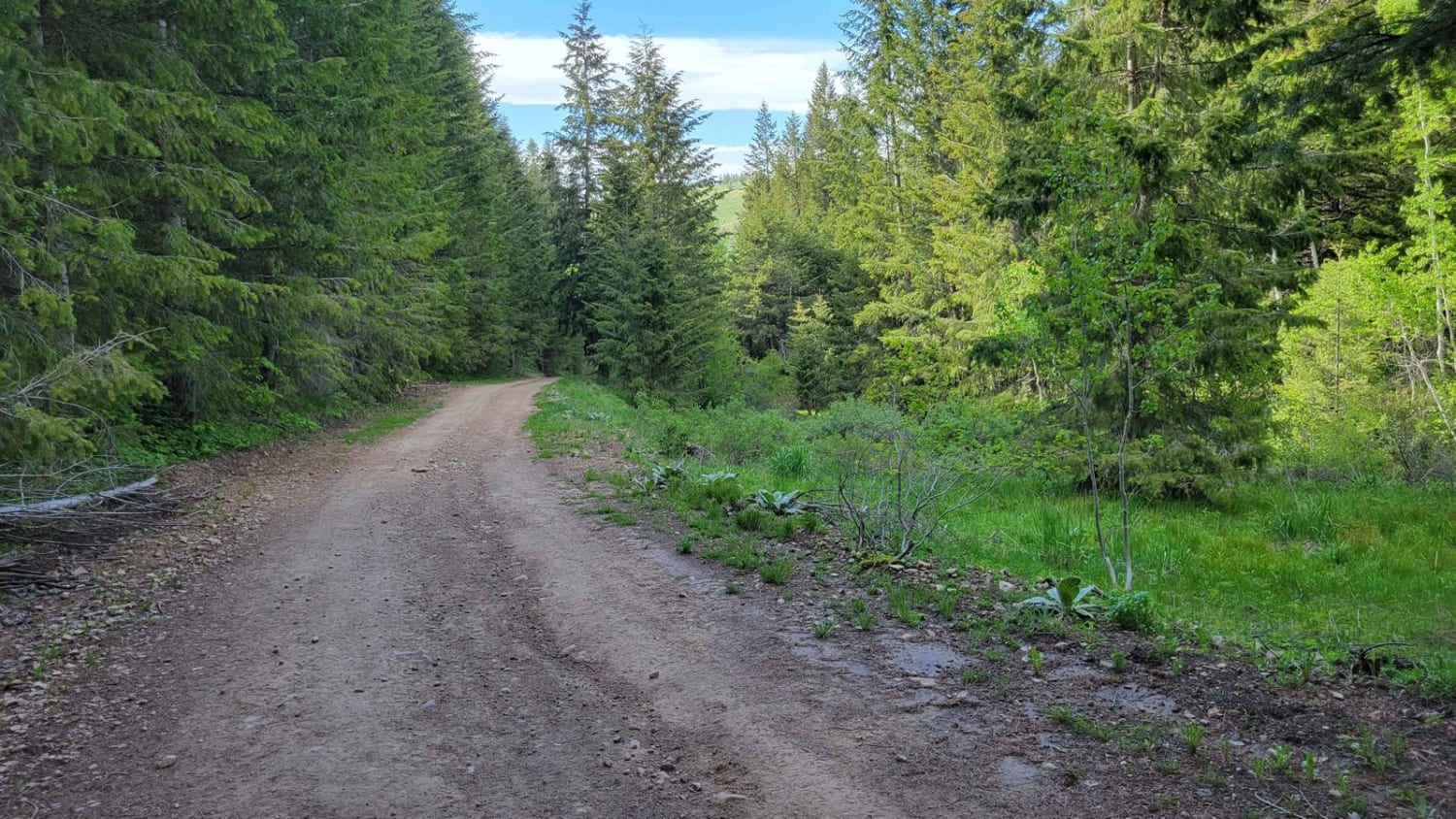
This section of trail is one continuous, long hill climb/descent depending which direction you're going. (West to East is uphill). There are some loose rocky patches scattered throughout and a few small mud ruts here…
Learn more about Sheep Canyon 1
Total Miles
2.6
Tech Rating
3 Easy
Best Time
Fall, Summer
Learn more about Sheep Canyon 2
Sheep Canyon 2

Sheep Canyon 2

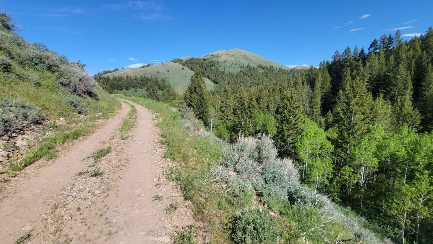
This curvy and windy section of Sheep's Canyon hugs alongside the slope of the mountainside, offering beautiful views of the surrounding Sawtooth National Forest. There are loose rocky patches, especially around some of the corners.…
Learn more about Sheep Canyon 2
Total Miles
4.0
Tech Rating
3 Easy
Best Time
Fall, Summer
Learn more about Sheep Creek
Sheep Creek

Sheep Creek

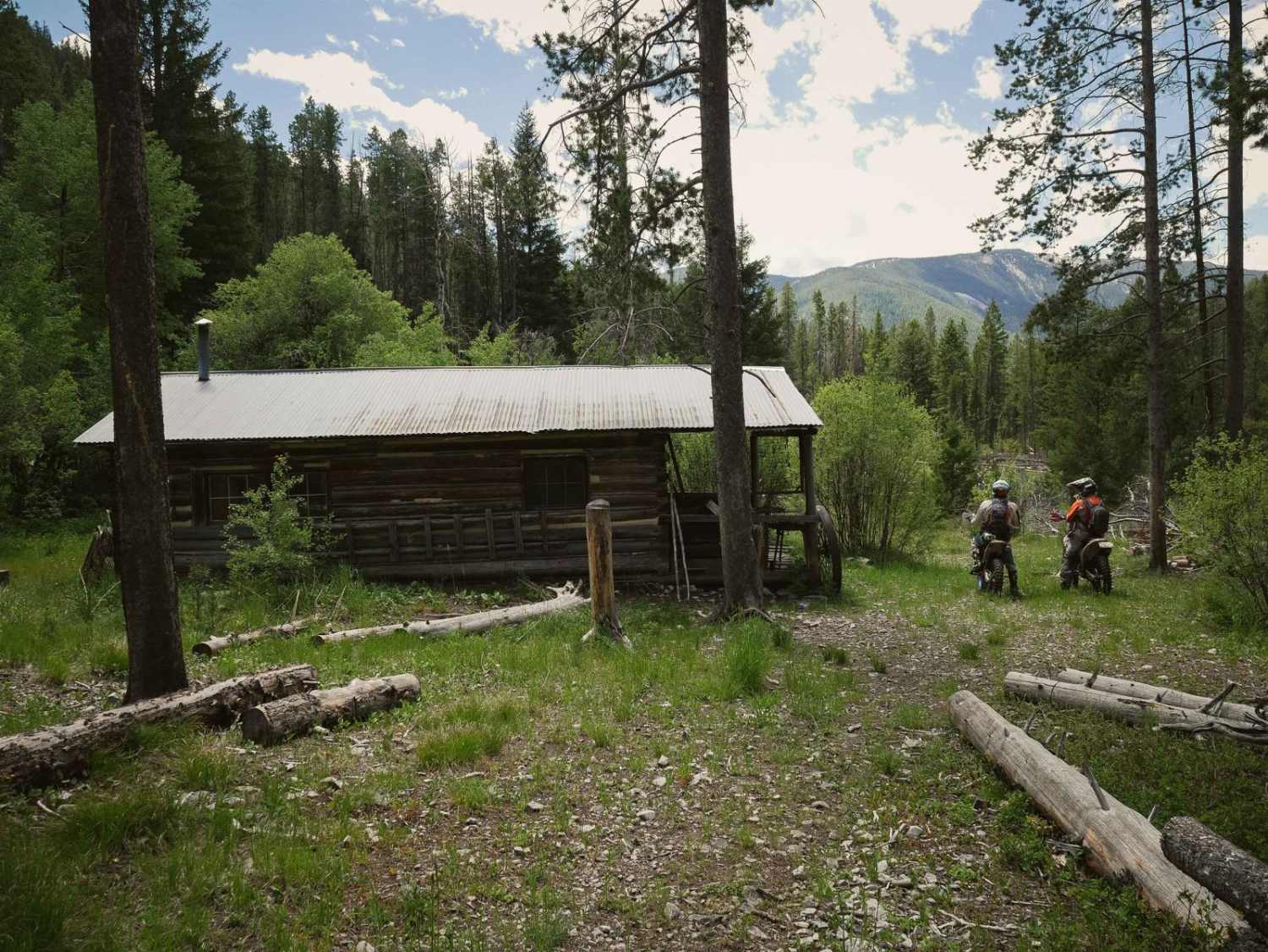
Sheep Creek is a fun and easier alpine single track in the Salmon National Forest that starts on the east end at the Idaho/Montana border, parallels the Continental Divide, and goes past an old cabin.…
Learn more about Sheep Creek
Total Miles
9.3
Tech Rating
4 Moderate
Best Time
Spring, Summer, Fall

The onX Offroad Difference

onX Offroad combines trail photos, descriptions, difficulty ratings, width restrictions, seasonality, and more in a user-friendly interface. Available on all devices, with offline access and full compatibility with CarPlay and Android Auto. Discover what you’re missing today!