Off-Road Trails in Kansas

Discover off-road trails in Kansas

Learn more about Boulder Dash
Boulder Dash

Boulder Dash

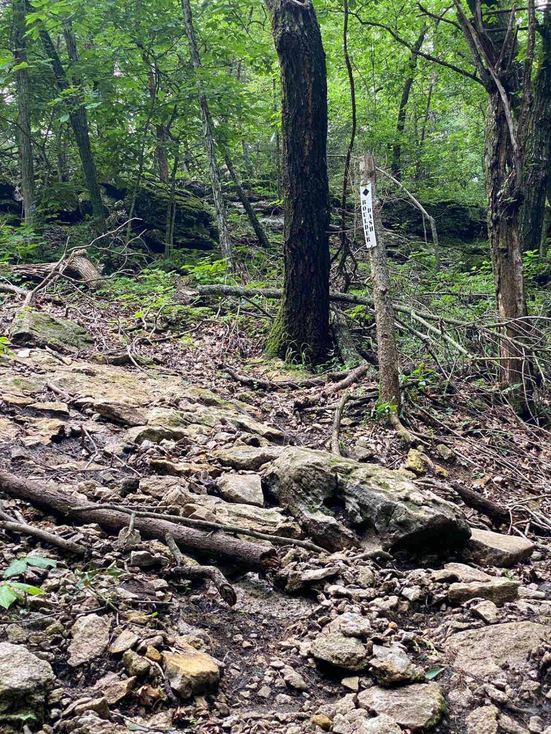
Boulder Dash is an off-shoot trail of C2 and Jared's Junk. As the name implies, there are boulders on this trail. The most notable obstacle is at the top where it turns to a very…
Learn more about Boulder Dash
Total Miles
0.0
Tech Rating
9 Difficult
Best Time
Spring, Summer, Fall, Winter
Learn more about Brad's Breakdown
Brad's Breakdown

Brad's Breakdown

Brad's Breakdown is located within the Labyrinth Area of the park. You will be taken on a scenic drive through the trees and connected to Path Finder and Larry's Cash Box. If you're going uphill…
Learn more about Brad's Breakdown
Total Miles
0.1
Tech Rating
5 Moderate
Best Time
Spring, Summer, Fall, Winter
Learn more about Brandy's Dandy
Brandy's Dandy

Brandy's Dandy

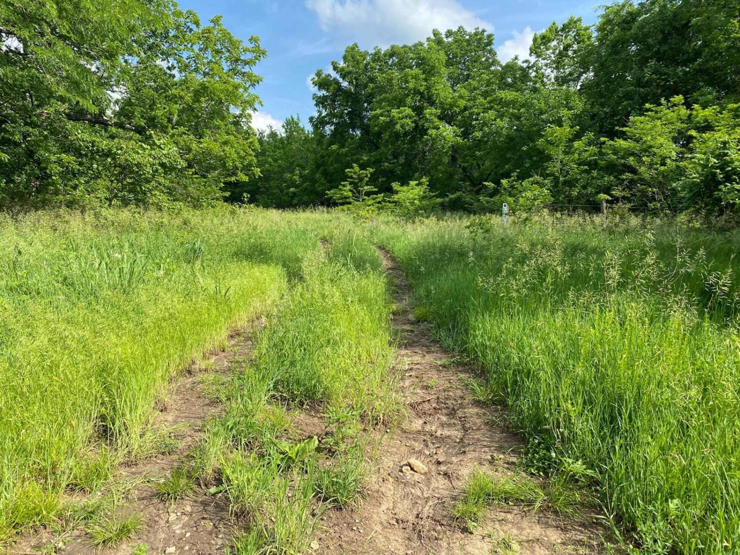
Brandy's Dandy is an easy loop trail over by the old barn. This is a non-directional trail. One section is very overgrown in the center and could cause fires. The other side is made of…
Learn more about Brandy's Dandy
Total Miles
0.1
Tech Rating
1 Easy
Best Time
Spring, Summer, Fall, Winter
Learn more about Bridge Trail
Bridge Trail

Bridge Trail

Bridge Trail is located within the Labyrinth Area of the park. The trail is mostly mud. There is a small bridge made of 4 logs, 2 per side, to cross over a creek. However, there…
Learn more about Bridge Trail
Total Miles
0.1
Tech Rating
6 Moderate
Best Time
Spring, Summer, Fall, Winter
Learn more about Bronco Buster
Bronco Buster

Bronco Buster

This is a very short trail that is part of the South Forty Area. There is a small section, almost right in the middle, that is muddy and may have standing water depending on recent…
Learn more about Bronco Buster
Total Miles
0.0
Tech Rating
8 Difficult
Best Time
Spring, Summer, Fall, Winter
Learn more about Brown State Fishing Lake Road
Brown State Fishing Lake Road

Brown State Fishing Lake Road

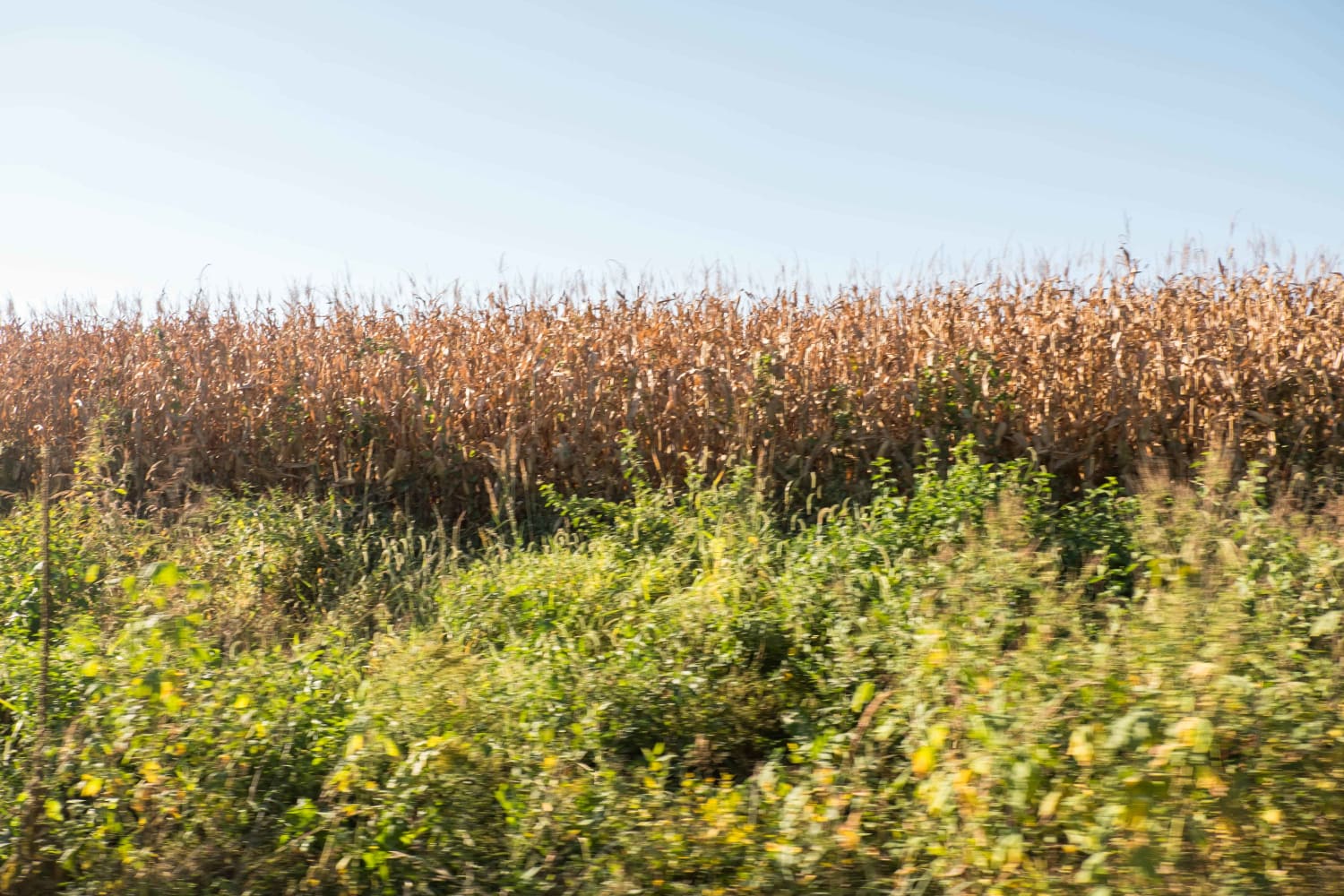
Easy gravel road around Brown State Fishing Lake with small spurs around the lake to camp and fish. Camping and fishing are free. A couple of pit toilets around the lake and campfire rings at…
Learn more about Brown State Fishing Lake Road
Total Miles
1.7
Tech Rating
1 Easy
Best Time
Spring, Summer, Fall
Learn more about Brush Dinger
Brush Dinger

Brush Dinger

Brush Dinger is a trail located in the South Forty Area. The trail is overgrown with tall grass in the middle that could potentially cause a fire. There is a spot between trees that is…
Learn more about Brush Dinger
Total Miles
0.2
Tech Rating
6 Moderate
Best Time
Spring, Summer, Fall, Winter
Learn more about Buck Hill
Buck Hill

Buck Hill

Buck Hill is situated between the Buck Hill and Timber Hill areas of the park. For most, it is most likely the easiest to run from the top where it meets with Gas Station down…
Learn more about Buck Hill
Total Miles
0.1
Tech Rating
5 Moderate
Best Time
Spring, Summer, Fall, Winter
Learn more about Buckeye Boonies
Buckeye Boonies

Buckeye Boonies

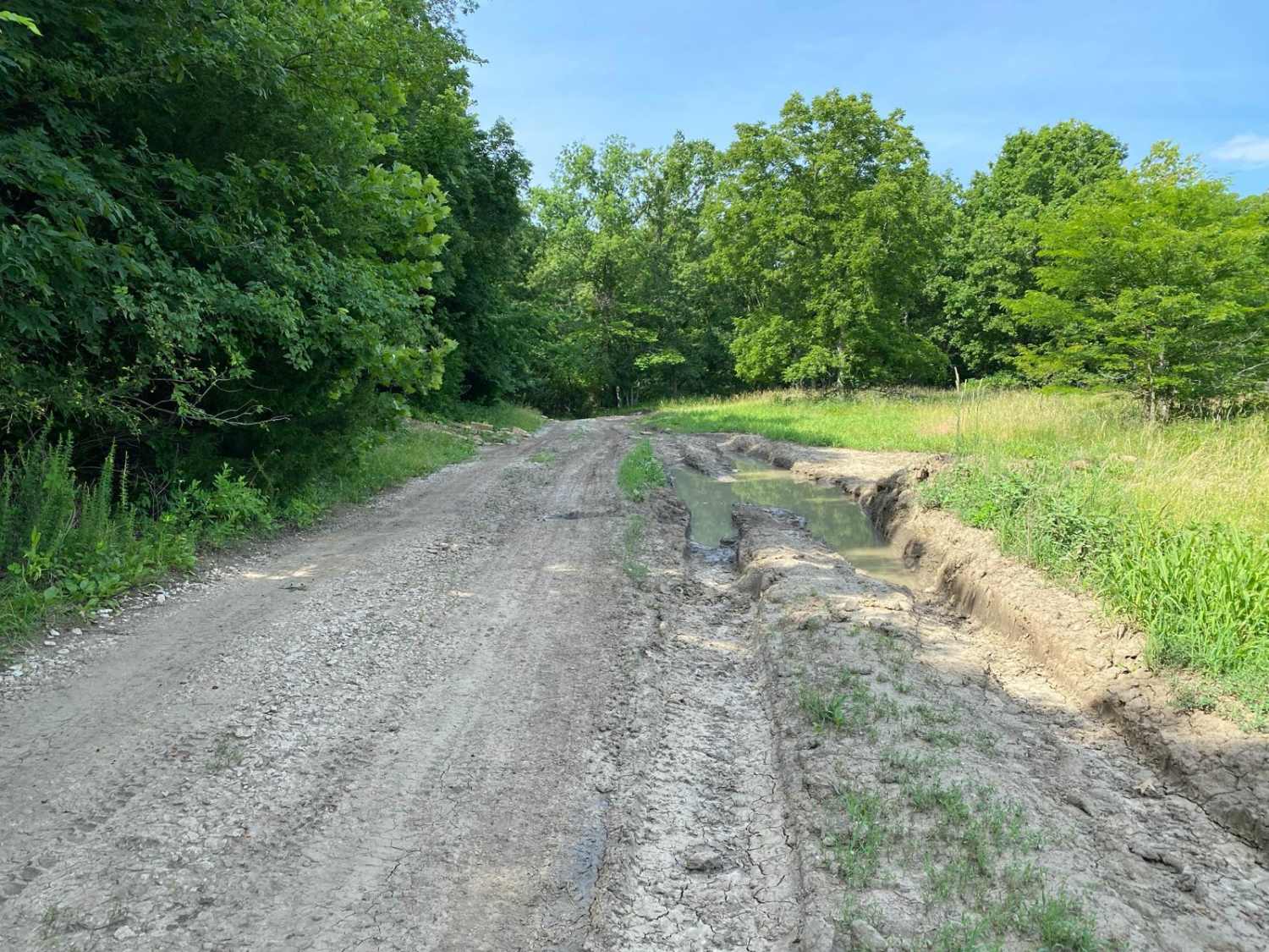
Buckeye Boonies is part of the main loop trail system within the park. Part of this trail is located in the Wildlife Viewing Area and the Buckeye Boonies Area. Buckeye Boonies is a non-directional trail…
Learn more about Buckeye Boonies
Total Miles
0.7
Tech Rating
2 Easy
Best Time
Spring, Summer, Fall, Winter
Learn more about Buckin Chute
Buckin Chute

Buckin Chute

Buckin Chute is a non directional trail located within the Buckeye Boonies Area of the park. At the bottom of this trail it connects to Buckeye Boonies trail while the top connects you to Ho…
Learn more about Buckin Chute
Total Miles
0.0
Tech Rating
6 Moderate
Best Time
Spring, Summer, Fall, Winter
Learn more about Burgoon's Black Snake
Burgoon's Black Snake

Burgoon's Black Snake

Burgoon's Black Snake is a non-directional trail that is located within the Gina's Giggle Gulch Area of the park. This can be a connector trail for the trail called Gina's Giggle Gulch and Randy's Relief.…
Learn more about Burgoon's Black Snake
Total Miles
0.0
Tech Rating
7 Difficult
Best Time
Spring, Summer, Fall, Winter
Learn more about C2
C2

C2

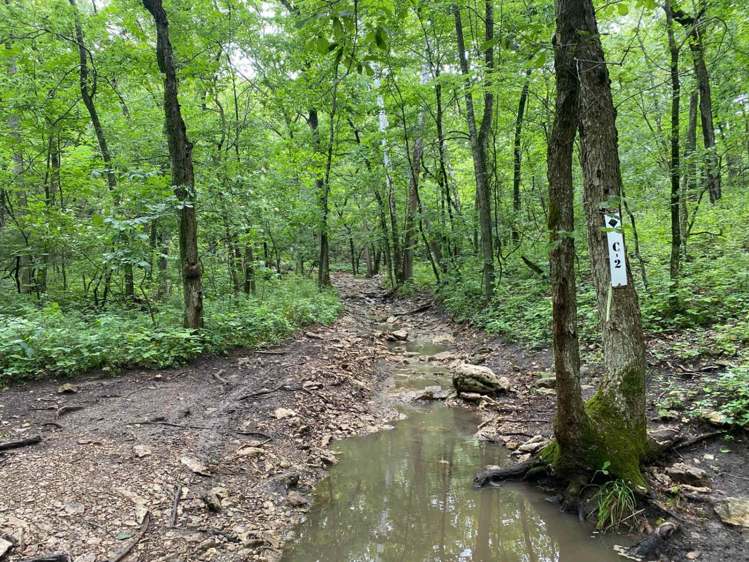
C2 is a Jeep Badge of Honor trail. This is a directional trail through a creekbed alongside the other Jeep Badge of Honor Trail, Rattlesnake Alley. Water is constantly running through this trail. Large loose…
Learn more about C2
Total Miles
0.2
Tech Rating
5 Moderate
Best Time
Spring, Summer, Fall, Winter
Learn more about Can Opener
Can Opener

Can Opener

Can Opener is an offshoot trail of Sprattsville. This is a very short trail. There is loose rock throughout. The obstacle is a fairly tall rock ledge at the top. Depending on recent rainfall, this…
Learn more about Can Opener
Total Miles
0.0
Tech Rating
7 Difficult
Best Time
Spring, Summer, Fall, Winter
Learn more about Can't Make It
Can't Make It

Can't Make It

Situated between Red and Yellow Tree and Wichita Point, Can't Make It is a trail located within the Carnage Canyon area of the park. This is a non-directional off-shoot trail of the Carnage Canyon trail.…
Learn more about Can't Make It
Total Miles
0.0
Tech Rating
6 Moderate
Best Time
Spring, Summer, Fall, Winter
Learn more about Canary
Canary

Canary

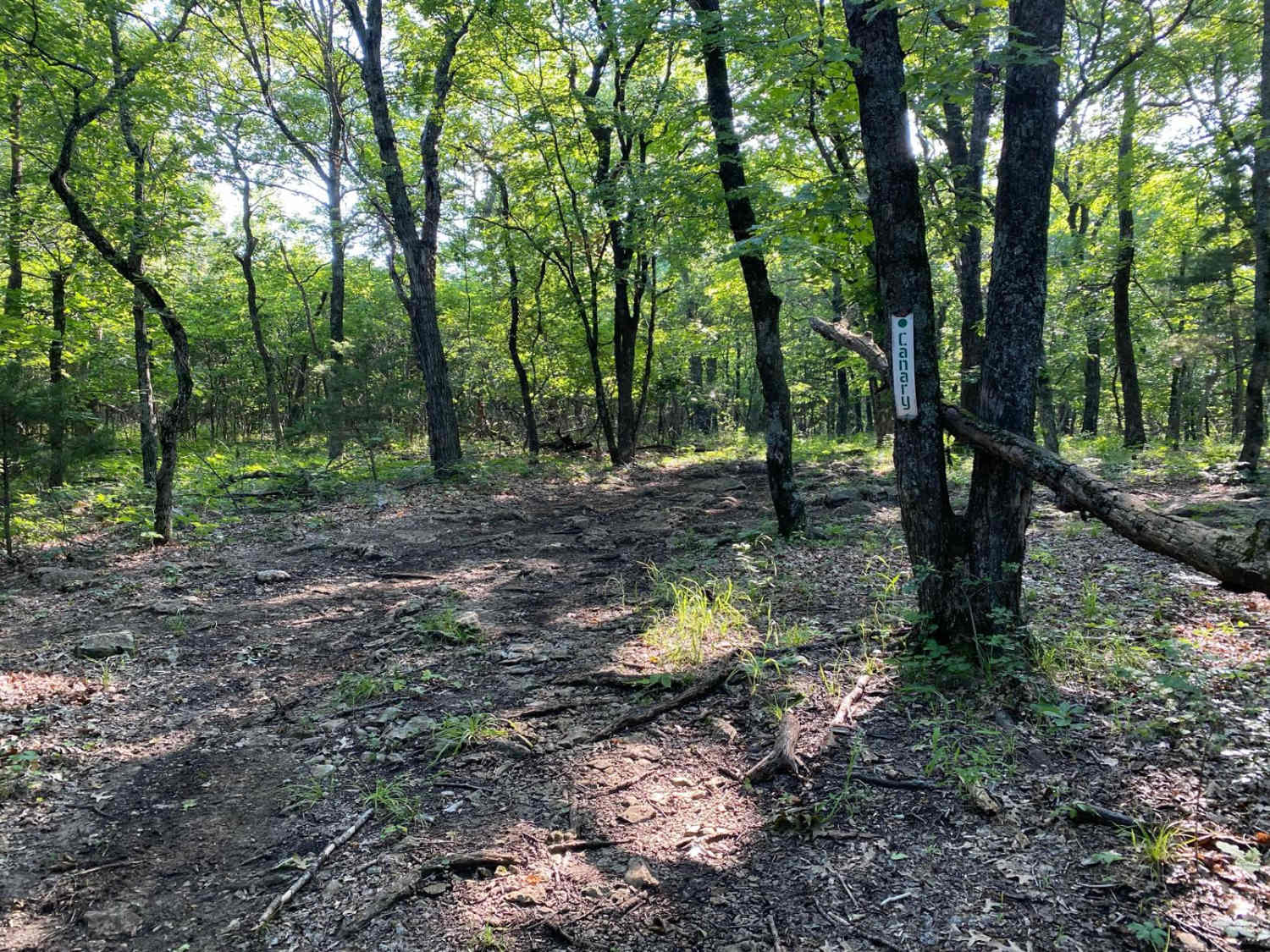
Canary is a non-directional trail within the Timber Hill area of the park. This could be considered an early connector trail for Wayne's World and Jeremy's Jaunt. You will come to a few spots where…
Learn more about Canary
Total Miles
0.1
Tech Rating
2 Easy
Best Time
Spring, Summer, Fall, Winter
Learn more about Carnage Canyon
Carnage Canyon

Carnage Canyon

Carnage Canyon starts off easy from Wagon Trail. You will quickly see the trail is rutted out on the right side. As you continue on the trail, it becomes a rock garden with large boulders…
Learn more about Carnage Canyon
Total Miles
0.1
Tech Rating
6 Moderate
Best Time
Spring, Summer, Fall, Winter
Learn more about Castle Rock Trail
Castle Rock Trail

Castle Rock Trail

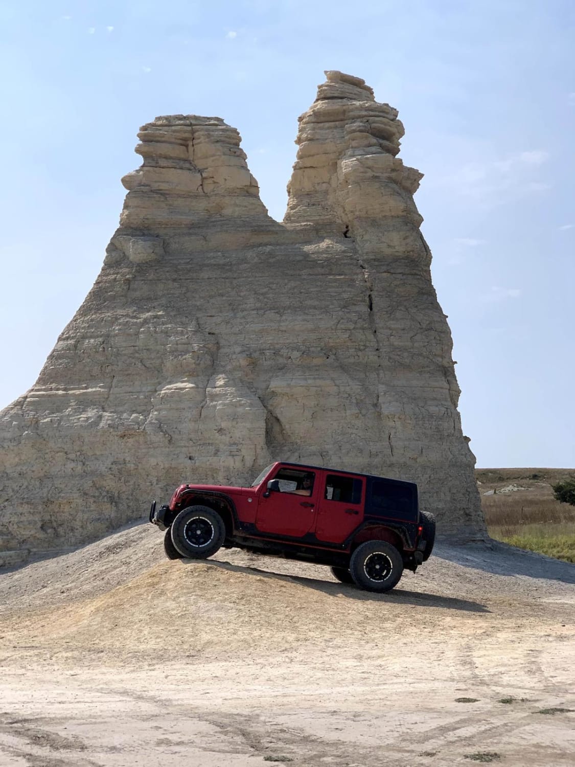
This 2.9-mile loop goes around the Castle Rock area. This is private land so please respect the area and remain on the trails. There are some side trails that are a little more difficult but…
Learn more about Castle Rock Trail
Total Miles
2.8
Tech Rating
2 Easy
Best Time
Spring, Summer, Fall
Learn more about Cedar Way
Cedar Way

Cedar Way

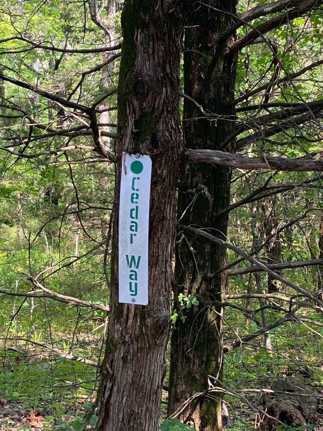
This trail is relatively mild to start. It is part of the South Forty Area. When you come to the T-intersection, the trail switches from a mild-rated trail to a moderate-rated trail; it is more…
Learn more about Cedar Way
Total Miles
0.3
Tech Rating
3 Easy
Best Time
Spring, Summer, Fall, Winter
Learn more about Chads Noggin Nocker
Chads Noggin Nocker

Chads Noggin Nocker

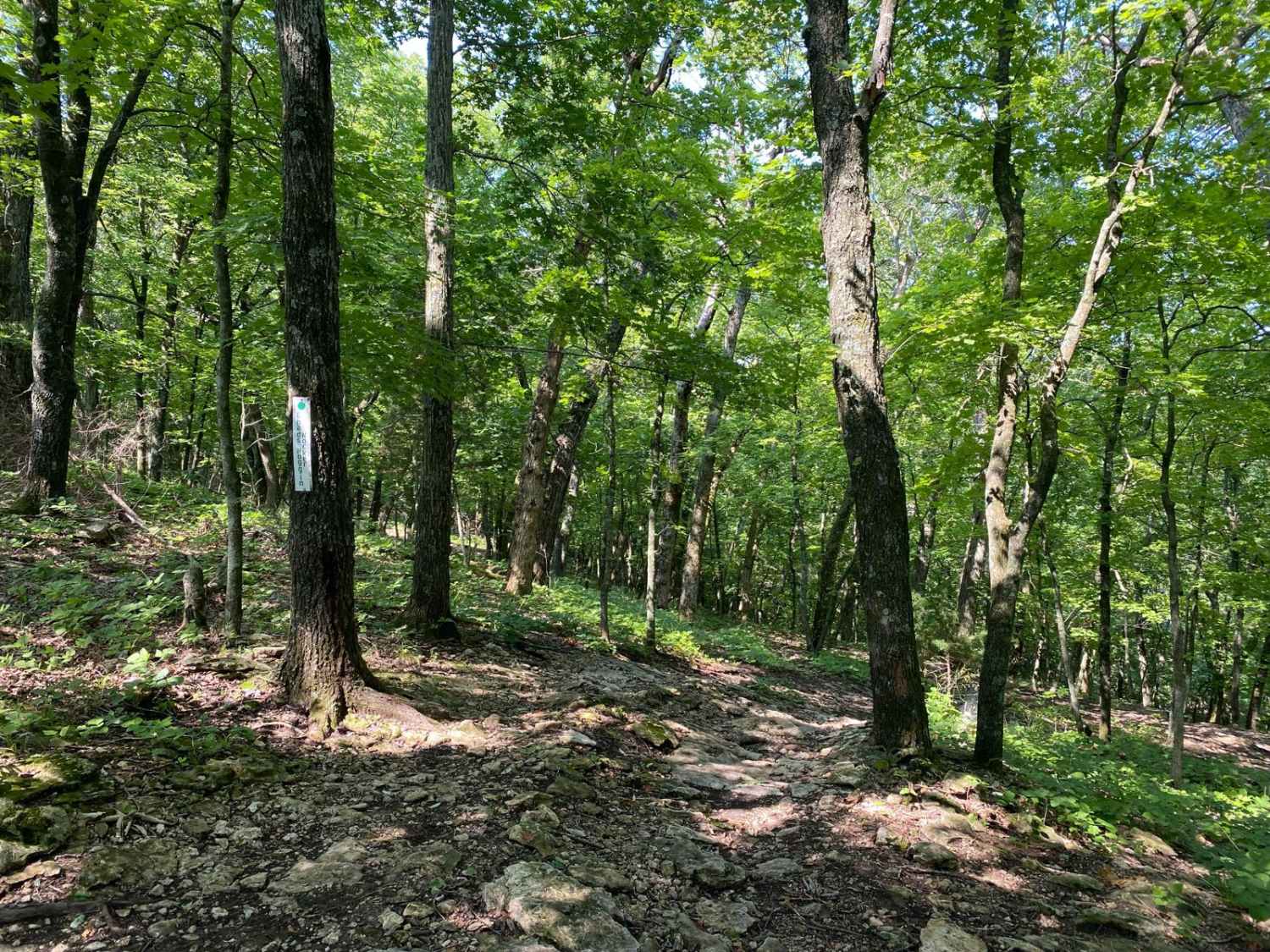
Chads Noggin Nocker is located within the Turkey Hill Area of the Park. It connects to West Bottoms at one end and Jeremys Jaunt at the other end. There are no spur trails, but at…
Learn more about Chads Noggin Nocker
Total Miles
0.1
Tech Rating
7 Difficult
Best Time
Spring, Summer, Fall, Winter
Learn more about Charlie's Channel
Charlie's Channel

Charlie's Channel

Charlie's Channel is a trail located within the Rocky Ridge Area of the park. It connects to Mike's Malice at one end and Creek Run at the other end. If heading back to the office…
Learn more about Charlie's Channel
Total Miles
0.0
Tech Rating
4 Moderate
Best Time
Spring, Summer, Fall, Winter

The onX Offroad Difference

onX Offroad combines trail photos, descriptions, difficulty ratings, width restrictions, seasonality, and more in a user-friendly interface. Available on all devices, with offline access and full compatibility with CarPlay and Android Auto. Discover what you’re missing today!