Off-Road Trails in Maine

Discover off-road trails in Maine

Learn more about B52 Memorial Site - Elephant Mountain
B52 Memorial Site - Elephant Mountain

B52 Memorial Site - Elephant Mountain

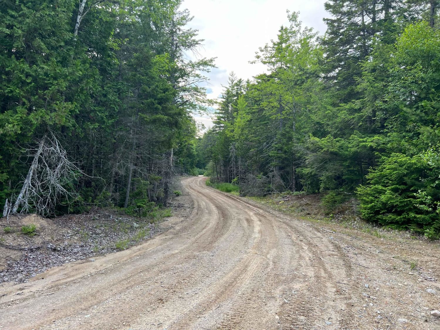
Gravel road with mixed use which does change from time to time. Currently logging in a small section that still lets full vehicles through but OHRVs get a reroute. They have done a great job…
Learn more about B52 Memorial Site - Elephant Mountain
Total Miles
8.2
Tech Rating
1 Easy
Best Time
Spring, Summer, Fall
Learn more about Baker Hill Summit
Baker Hill Summit

Baker Hill Summit

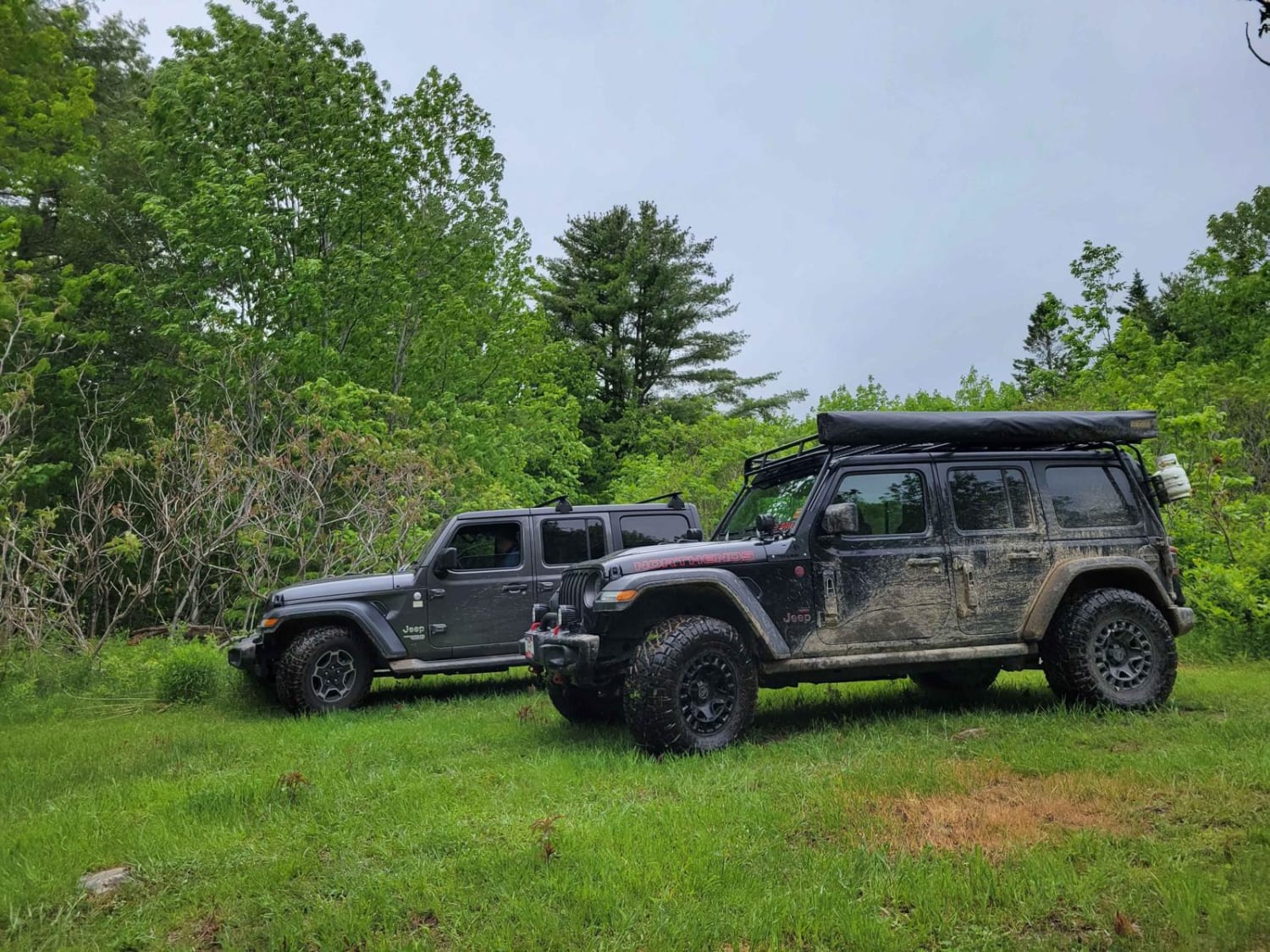
This trail takes you to the top of Baker Hill. The trail is dirt and grass and somewhat elevated. The trail is less developed than some of the other larger trails and is more accepting…
Learn more about Baker Hill Summit
Total Miles
0.6
Tech Rating
3 Easy
Best Time
Spring, Fall, Summer
Learn more about Bald Mountain
Bald Mountain

Bald Mountain

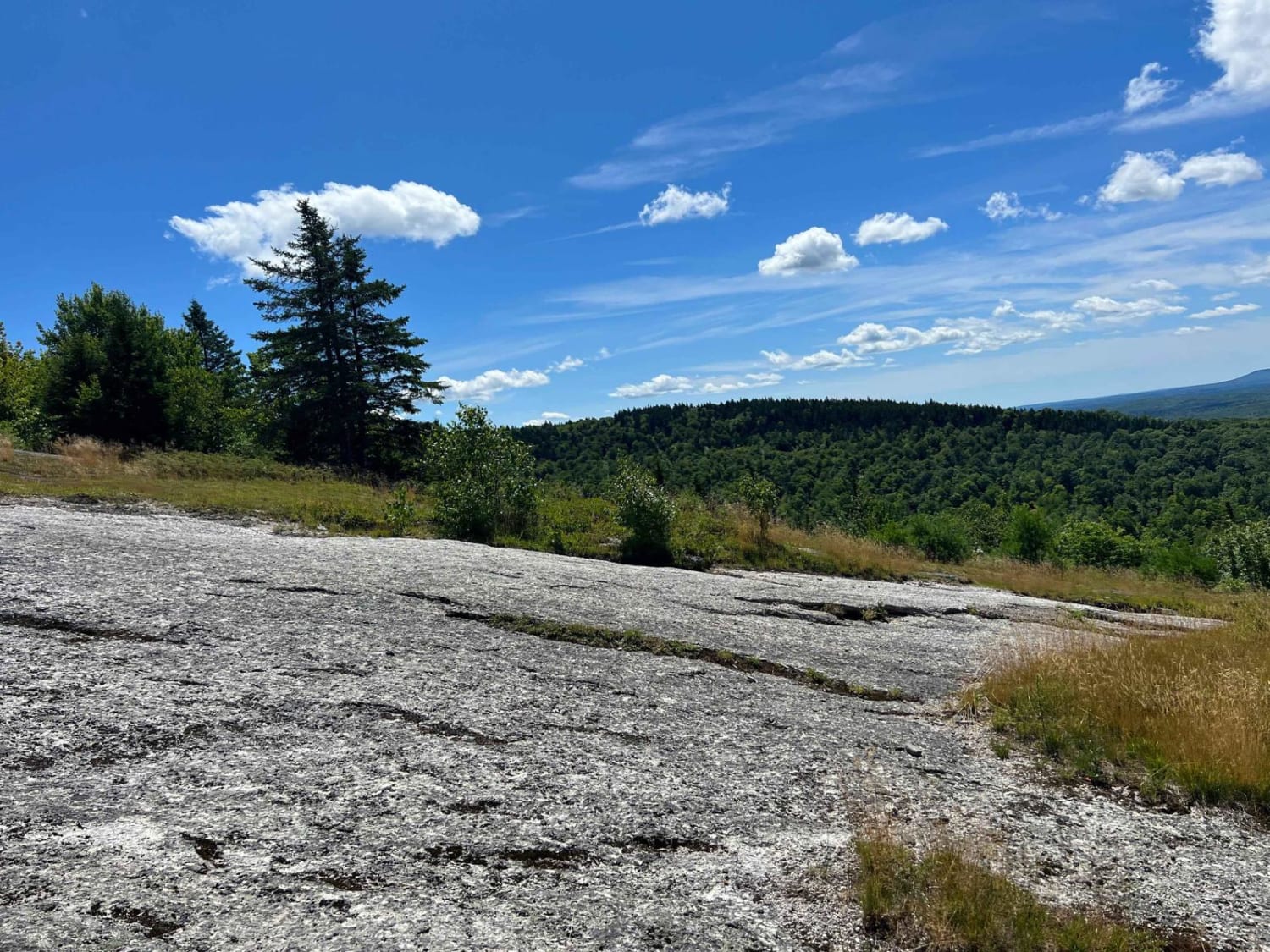
Granite rock face. Very steep up and down with a few off-camber angles with a few in excess of 27 degrees over some ledges. Amazing views on both sides of the trail going up and…
Learn more about Bald Mountain
Total Miles
1.2
Tech Rating
3 Easy
Best Time
Summer, Fall, Spring
Learn more about Bald Mountain Trail
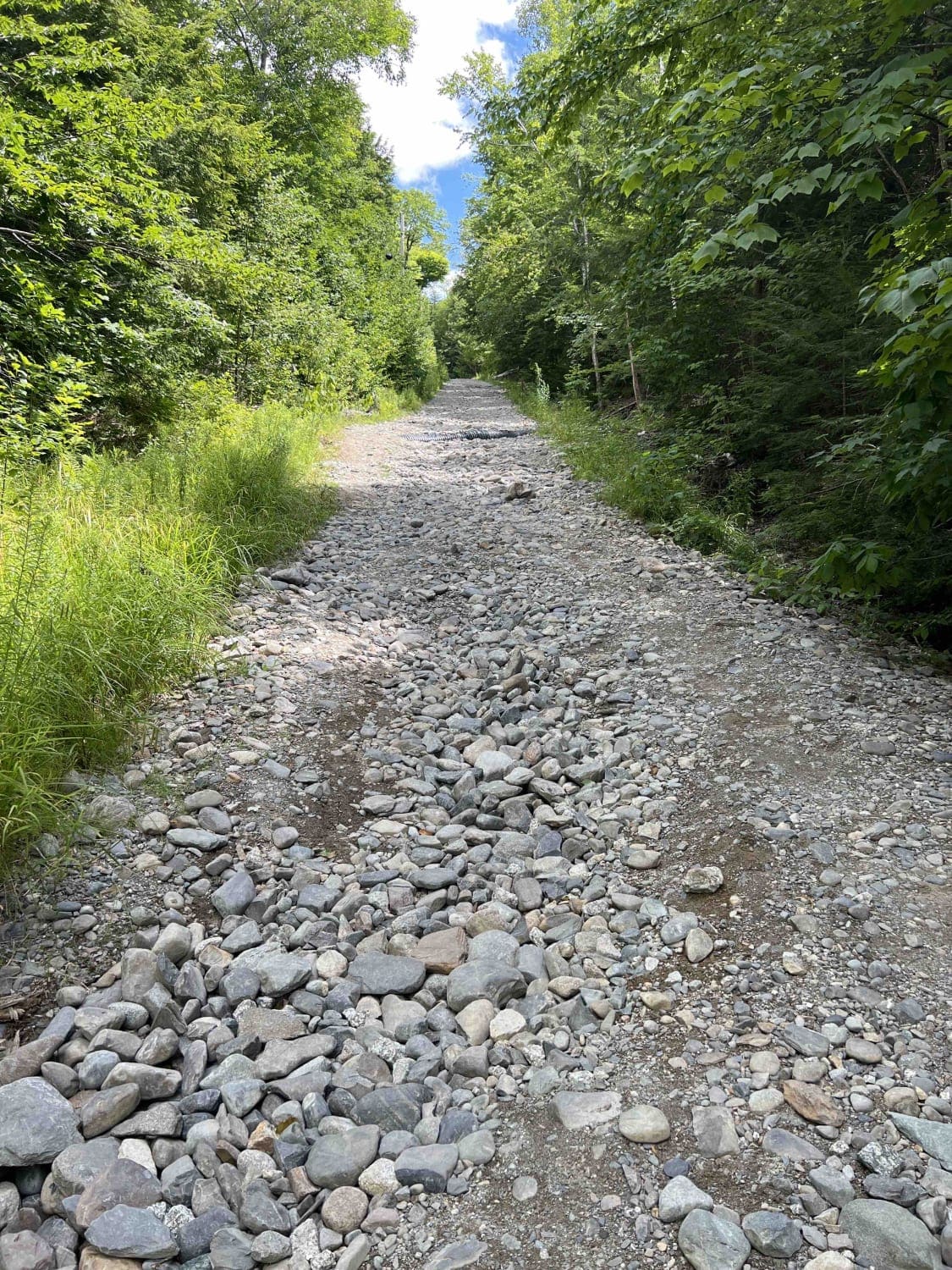
Bald Mountain Trail

Bald Mountain Trail

A mostly gravel road with a few washouts. A few snowmobile side trails that are not 4x4 friendly. Towards the top, there are a few ledges with some concrete filler and a granite bluff with…
Learn more about Bald Mountain Trail
Total Miles
1.4
Tech Rating
1 Easy
Best Time
Spring, Summer, Fall
Learn more about Big White Brook - Campsites
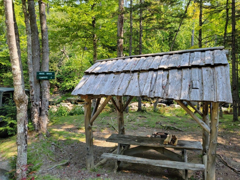
Big White Brook - Campsites

Big White Brook - Campsites

This Big White Brook trail is a short spur leading to a set of riverside campsites. The trail is typically wide enough for 2 vehicles to pass but narrows once you get closer to the…
Learn more about Big White Brook - Campsites
Total Miles
3.7
Tech Rating
2 Easy
Best Time
Spring, Summer, Fall
Learn more about Brandy Pond West
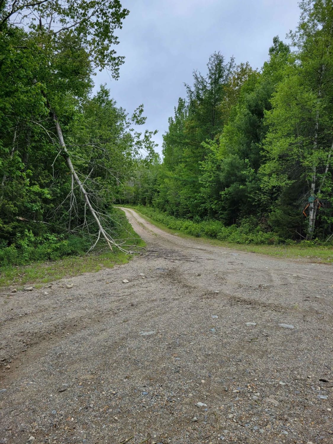
Brandy Pond West

Brandy Pond West

This trail provides access to the western side of Brandy Pond. The trail is primarily dirt road, with some sections that are more water-saturated and could be evaluated during the spring or other wet times…
Learn more about Brandy Pond West
Total Miles
3.1
Tech Rating
2 Easy
Best Time
Summer, Fall, Spring
Learn more about Buffalo Stream East
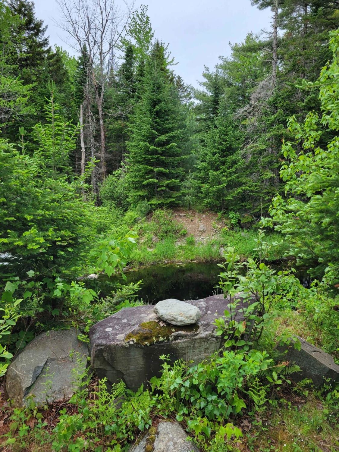
Buffalo Stream East

Buffalo Stream East

This trail provides access to the eastern side of Buffalo Stream. The trail is primarily dirt/grass and is very narrow due to the soft white pine needles. Use caution as the narrowness of this trail…
Learn more about Buffalo Stream East
Total Miles
0.4
Tech Rating
1 Easy
Best Time
Spring, Summer, Fall
Learn more about Burrill Woods Road
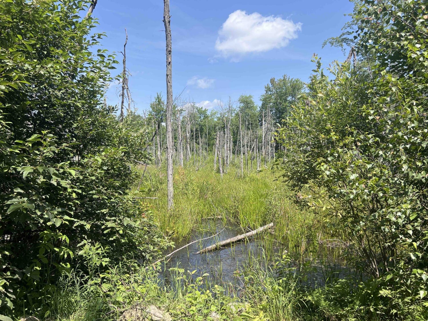
Burrill Woods Road

Burrill Woods Road

Originally part of the Plumb Creek Land Trust, this is a semi-active logging road where there has been logging recently. There are lots of side trails and roads to explore. This road is not actively…
Learn more about Burrill Woods Road
Total Miles
6.4
Tech Rating
2 Easy
Best Time
Summer, Fall
Learn more about Center Trail
Center Trail

Center Trail

This is a winding trail through mostly woods and fields. This trail is quite smooth with a few small rocks and rocky areas. A few rough exposed roots and a lot of ditches to keep…
Learn more about Center Trail
Total Miles
1.7
Tech Rating
2 Easy
Best Time
Summer, Fall
Learn more about Chase Fire Tower
Chase Fire Tower

Chase Fire Tower

A rutty trail up the back side of Chase hill to the fire tower that you can still climb to the top of a few harder obstacles to climb over but mostly capable with a…
Learn more about Chase Fire Tower
Total Miles
0.6
Tech Rating
3 Easy
Best Time
Summer, Fall
Learn more about Deadwater Loop Trail
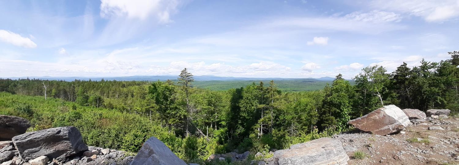
Deadwater Loop Trail

Deadwater Loop Trail

45 miles long, the Deadwater Loop trail will take you along the Kennebec river, through valleys, and over hills for the townships of Solon, Moscow, Deadwater, and Bingham Maine. The trailnsystem is well maintained by…
Learn more about Deadwater Loop Trail
Total Miles
38.2
Tech Rating
3 Easy
Best Time
Summer
Learn more about Donnell Pond
Donnell Pond

Donnell Pond

Donnell Pond is a gravel road that is mostly wide open, but some spur roads can become quite narrow. Sections of this road serves as snowmobile trails in the wintertime. Camping in this area is…
Learn more about Donnell Pond
Total Miles
5.5
Tech Rating
2 Easy
Best Time
Spring, Summer, Fall
Learn more about Edes Brook Trail
Edes Brook Trail

Edes Brook Trail

This trail is an easy access to some of our other trails and sights. Good trail for just cruising and enjoying the views. It will take you from Intervale Road to the Presidential Lookout or…
Learn more about Edes Brook Trail
Total Miles
3.7
Tech Rating
1 Easy
Best Time
Summer
Learn more about Frye Mountain - High Ridge to Getchell
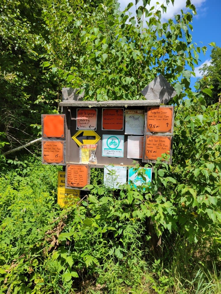
Frye Mountain - High Ridge to Getchell

Frye Mountain - High Ridge to Getchell

The Frye Mountain - High Ridge to Getchell trail is a West to East crossing through the Frye Mountain State Game Management Area. This trail is just over 8 miles passing by the Carter Cemetery…
Learn more about Frye Mountain - High Ridge to Getchell
Total Miles
6.3
Tech Rating
2 Easy
Best Time
Spring, Summer, Fall
Learn more about Gauntlet Falls West Trail
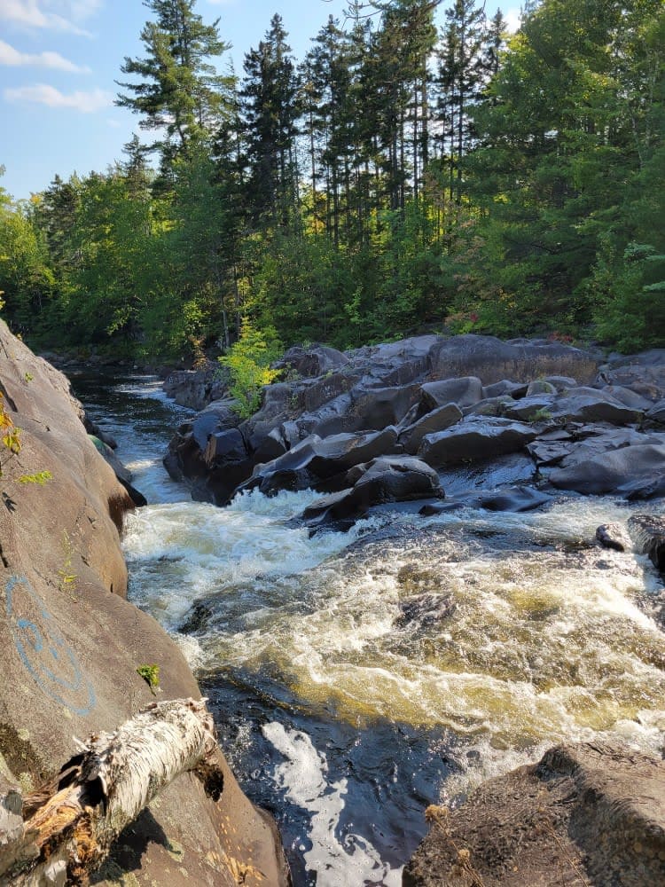
Gauntlet Falls West Trail

Gauntlet Falls West Trail

This Gauntlet Falls West Trail is a branch starting at the Katahdin Iron Works Historic site which is also the Ki-Jo Mary check-in point for the Northern Maine Woods. The trail is all dirt roads…
Learn more about Gauntlet Falls West Trail
Total Miles
16.3
Tech Rating
2 Easy
Best Time
Fall, Summer, Spring
Learn more about Greenwood Pond Trail
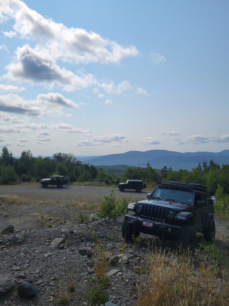
Greenwood Pond Trail

Greenwood Pond Trail

This trail to Greenwood Pond starts at the Katahdin Iron Works Historic Site which is also the Ki-Jo Mary check-in point for the Northern Maine Woods. The trail is all dirt roads typically wide enough…
Learn more about Greenwood Pond Trail
Total Miles
10.8
Tech Rating
3 Easy
Best Time
Summer, Spring, Fall
Learn more about Little Larry Road
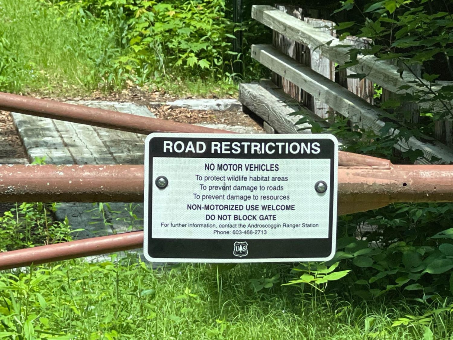
Little Larry Road

Little Larry Road

This is a well-maintained in-and-out gravel road in the White Mounts National Forest's Hastings Campground. It doubles as part of the Gilead snowmobile trail system in the winter months. Lots of campsites and a few…
Learn more about Little Larry Road
Total Miles
1.5
Tech Rating
1 Easy
Best Time
Spring, Summer, Fall, Winter
Learn more about Mahoney Hill Trail
Mahoney Hill Trail

Mahoney Hill Trail

This is easy riding on a mostly smooth trail. There are some rocky hills, and you also pass several logging areas. The majority of the trail is two vehicles wide on a packed gravel surface.…
Learn more about Mahoney Hill Trail
Total Miles
16.2
Tech Rating
3 Easy
Best Time
Spring, Summer, Fall
Learn more about Narraguagus Lake
Narraguagus Lake

Narraguagus Lake

Narraguagus Lake is the beginning of a larger trail system heading northward labeled as Trail 501. This is a mostly gravel road with some soft muddy areas after rain. This reaches some remote areas of…
Learn more about Narraguagus Lake
Total Miles
11.3
Tech Rating
2 Easy
Best Time
Spring, Summer, Fall
Learn more about New Hampshire Border into Maine
New Hampshire Border into Maine

New Hampshire Border into Maine

This a well-traveled paper company road. A lot of spur roads venture off the main road with a lot of beautiful views. There aren't a lot of signs with directions, so an updated app is…
Learn more about New Hampshire Border into Maine
Total Miles
49.7
Tech Rating
1 Easy
Best Time
Summer, Fall
1 2

The onX Offroad Difference

onX Offroad combines trail photos, descriptions, difficulty ratings, width restrictions, seasonality, and more in a user-friendly interface. Available on all devices, with offline access and full compatibility with CarPlay and Android Auto. Discover what you’re missing today!