Cadillac Pathway #2
Total Miles
2.5
Technical Rating
Best Time
Spring, Summer, Fall
Trail Type
Full-Width Road
Accessible By
Trail Overview
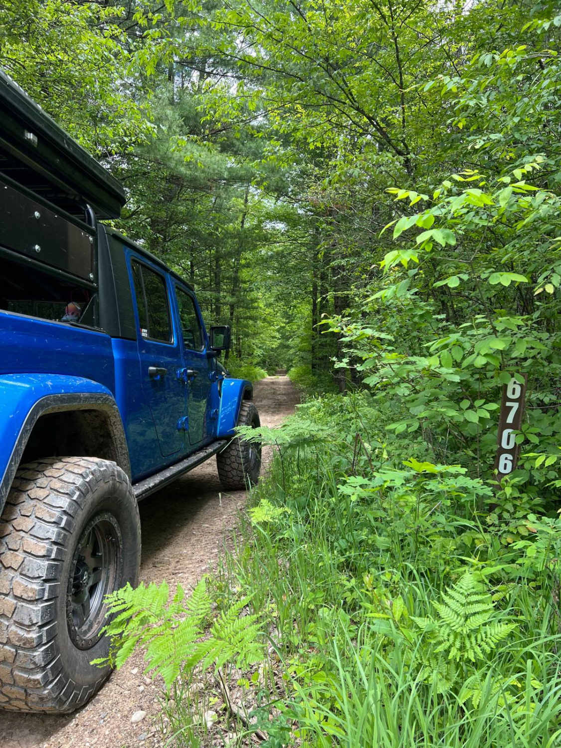
On the border of Wexford and Missaukee Counties lies a seasonal road that turns into a forest management road. It passes through the Cadillac Pathway hiking trail area, allowing access to the hiking trail, camping, and nature spotting opportunities. It can be accessed either by the north or south entrance.
Photos of Cadillac Pathway #2
Difficulty
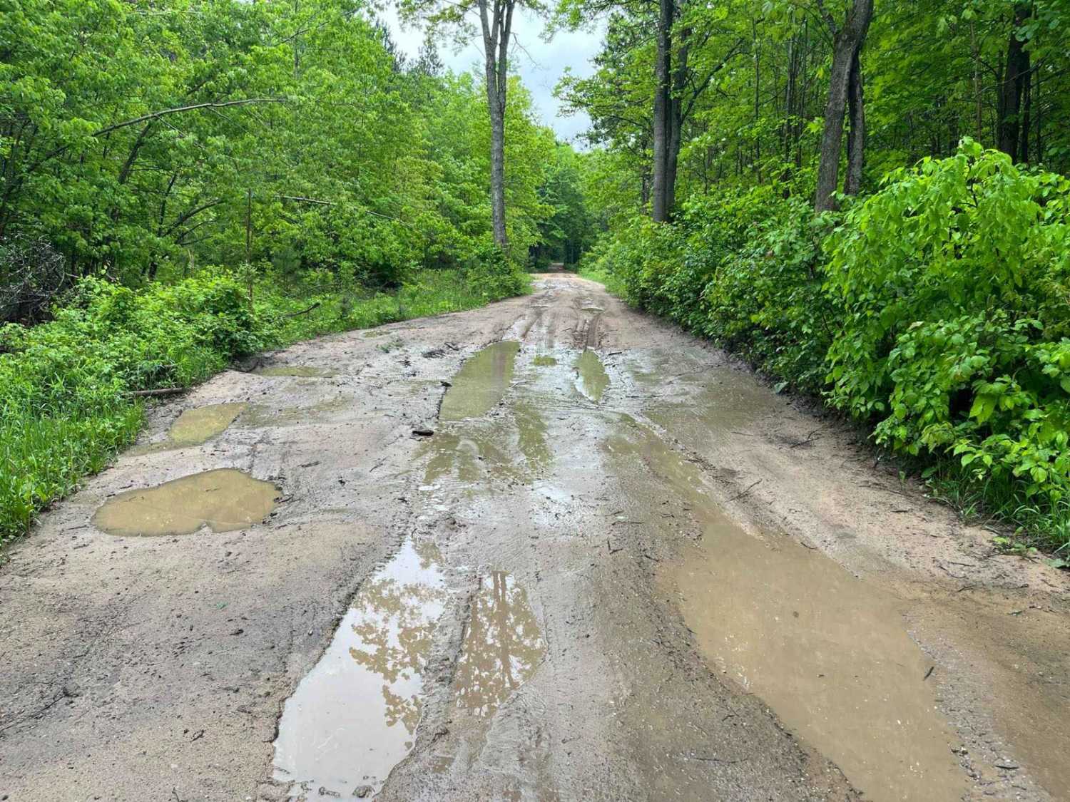
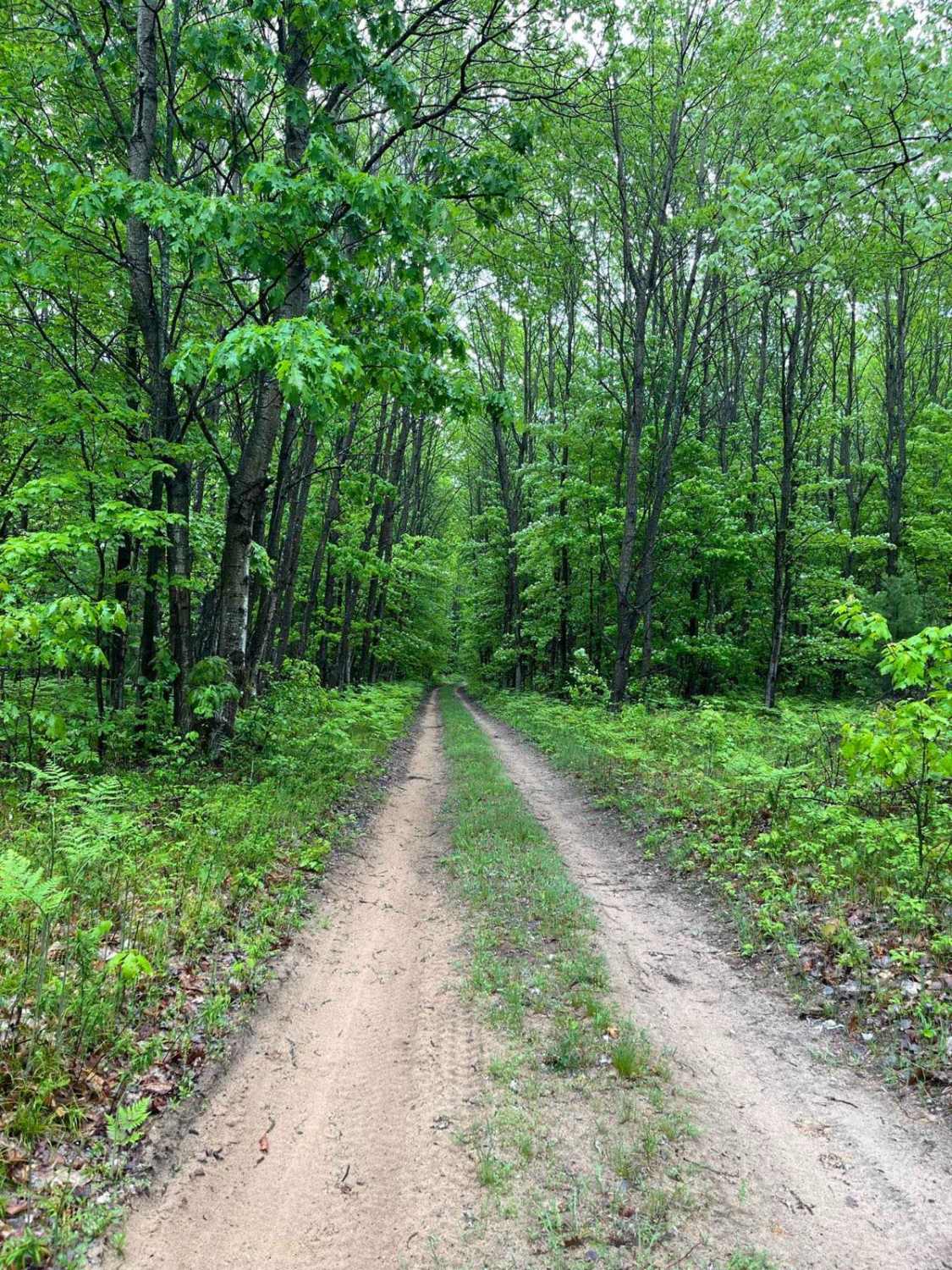
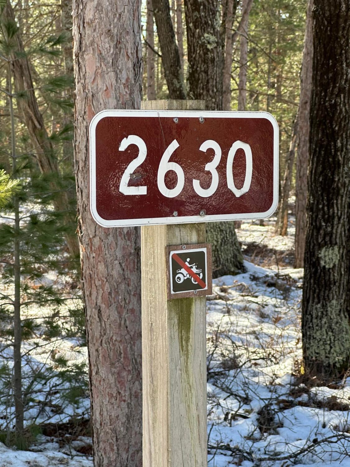
This is a typical Michigan seasonal/FS road. From the north entrance, expect uneven surfaces, mud, and ruts. The southern entrance starts as sand/dirt and transitions to mud and ruts as you travel north. If there are long periods of rain, sudden heavy rainfall, or snowmelt, this trail can become very muddy and rutted. The south entrance is posted No ORVs. This trail is accessible to FWD/2WD with the proper tires and clearance.
Status Reports
Cadillac Pathway #2 can be accessed by the following ride types:
- High-Clearance 4x4
- SUV
Cadillac Pathway #2 Map
Popular Trails

Sidewinder Trail

Cedar River Side Spur
The onX Offroad Difference
onX Offroad combines trail photos, descriptions, difficulty ratings, width restrictions, seasonality, and more in a user-friendly interface. Available on all devices, with offline access and full compatibility with CarPlay and Android Auto. Discover what you’re missing today!