M-20 Motorsport Trail
Total Miles
14.8
Elevation
306.92 ft
Duration
1.5 Hours
Technical Rating
Best Time
Fall, Summer, Spring
Trail Overview
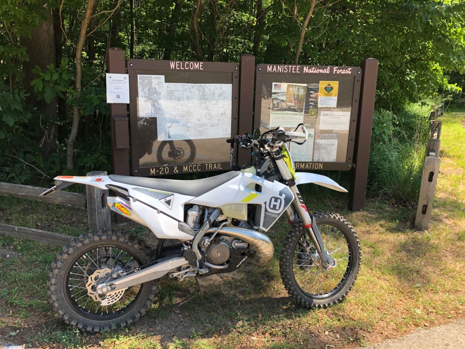
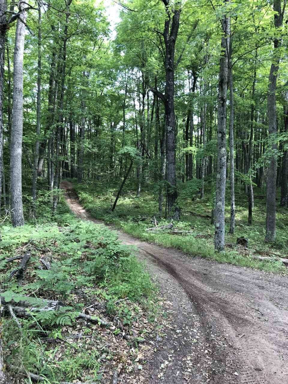
The M-20 Loop is a 50-inch sandy trail that is in the Manistee National Forest. This two-way loop is a well-used trail located on the north side of M-20 just east of White Cloud Michigan. This is a there-and-back type loop. There is a 9-mile ride to the actual loop that is between 4-5 miles. Then riders will travel the same exact 9 miles on the return trip back to the parking area for a total of approximately 23 miles. This is a fast flowy trail with some deep sandy areas. There are nice bridges across all water crossings and benches at various intervals that make for great resting areas. Riding the north part of the loop in both directions has been suggested to increase ride mileage.
Photos of M-20 Motorsport Trail
Difficulty
Deep sand, Roots, and potential wash outs are the most difficult obsticals on this trail
Popular Trails

High Rollway Trail (4-3/4)

FS 3177 Part 1

Ambrose Lake - Ogemaw Hills North
The onX Offroad Difference
onX Offroad combines trail photos, descriptions, difficulty ratings, width restrictions, seasonality, and more in a user-friendly interface. Available on all devices, with offline access and full compatibility with CarPlay and Android Auto. Discover what you’re missing today!


