Off-Road Trails in Michigan

Discover off-road trails in Michigan

Learn more about Soggy Bottom Loop
Soggy Bottom Loop

Soggy Bottom Loop

Soggy Bottom Loop is a moderate trail that runs through an area that can be very wet. There are tracks going through the water in some areas of the loop. The recorded track is a…
Learn more about Soggy Bottom Loop
Total Miles
0.3
Tech Rating
2 Easy
Best Time
Spring, Summer, Fall, Winter
Learn more about Soggy Bottoms
Soggy Bottoms

Soggy Bottoms

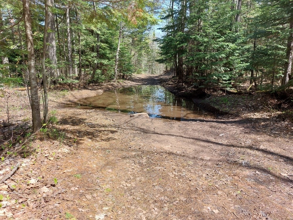
This is a short, wet, and fun trail that cuts from Horseshoe Harbor Trail over to Mandan Road. This is a mixed-use trail that Mountain Bikers use to access the Keweenaw Point Trail Phase 2…
Learn more about Soggy Bottoms
Total Miles
1.0
Tech Rating
5 Moderate
Best Time
Spring, Summer, Fall
Learn more about Soper Creek Trail
Soper Creek Trail

Soper Creek Trail

Soper Creek Trail is a beautiful off-road trail located within the Cadillac Forest Management Unit. This trail is an easygoing classic Michigan 2-Track that is home to a really nice dispersed campsite overlooking Soper Creek.…
Learn more about Soper Creek Trail
Total Miles
1.8
Tech Rating
2 Easy
Best Time
Spring, Summer, Fall, Winter
Learn more about Sorgenfrei
Sorgenfrei

Sorgenfrei

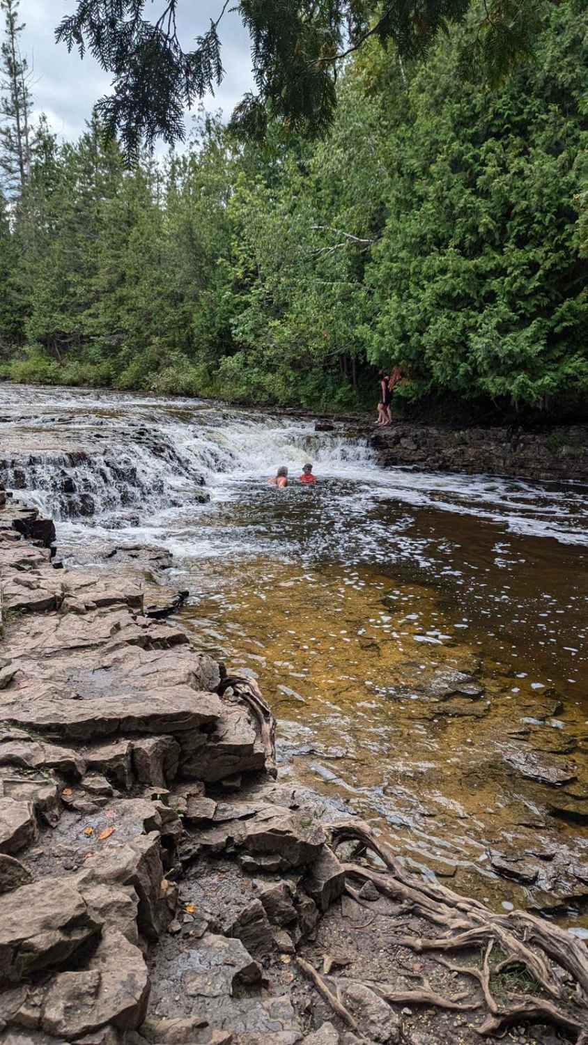
Sorgenfrei Highway is a windy, sandy/gravel dirt road wide enough for two vehicles. There are many intersecting trails to explore. The north end of the trail stops at M68, which will lead you to Ocqueoc…
Learn more about Sorgenfrei
Total Miles
3.3
Tech Rating
1 Easy
Best Time
Summer, Spring, Winter, Fall
Learn more about South 112th (Seasonal)
South 112th (Seasonal)

South 112th (Seasonal)

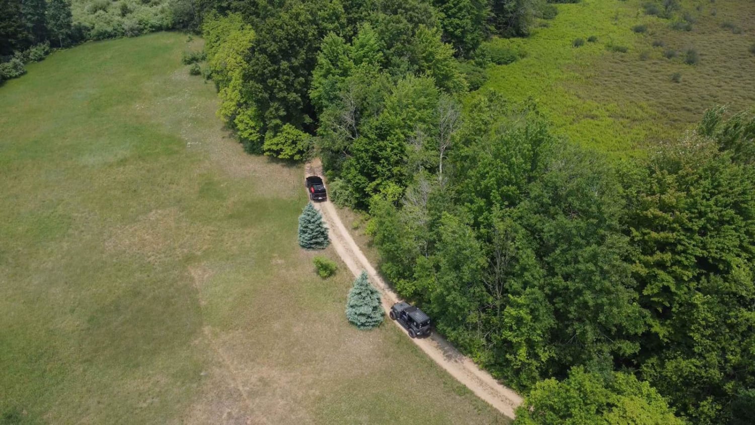
This is a fun little gateway to LP191 off West Garfield. It's a seasonally accessible road that can get muddy at times, but for the majority of the year, it does stay dry due to…
Learn more about South 112th (Seasonal)
Total Miles
1.0
Tech Rating
2 Easy
Best Time
Spring, Summer, Fall, Winter
Learn more about South Baker Road
South Baker Road

South Baker Road

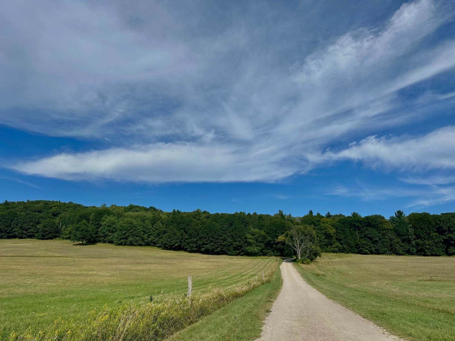
South Baker Road is located in the Port Oneida area of the National Lakeshore. The surrounding area has beautiful rolling hills through amazing farmland. Old barns and homesteads can be seen in the landscape. This…
Learn more about South Baker Road
Total Miles
1.5
Tech Rating
1 Easy
Best Time
Spring, Summer, Fall, Winter
Learn more about South Basch Road
South Basch Road

South Basch Road

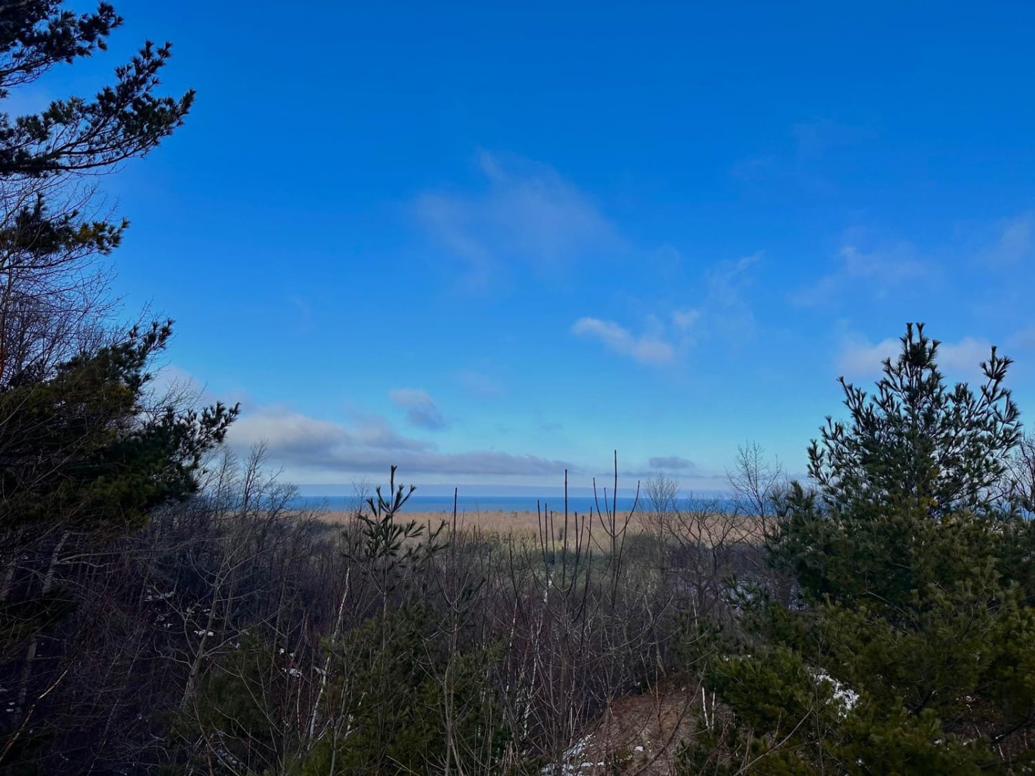
This trail travels through rolling hills and old historic farmland in the Port Oneida section of Sleeping Bear Dunes National Lakeshore. This route can be accessed from South Port Oneida Road on the west side…
Learn more about South Basch Road
Total Miles
2.5
Tech Rating
1 Easy
Best Time
Spring, Summer, Fall, Winter
Learn more about South Haze Road Part 1
South Haze Road Part 1

South Haze Road Part 1

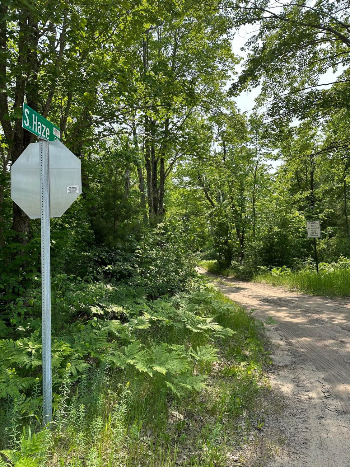
South Haze Road Part 1 starts out on a single-lane trail. The trail is mostly sand and dirt. The trail is somewhat flat. This trail is managed by the Traverse City Forest Management Unit. The…
Learn more about South Haze Road Part 1
Total Miles
1.0
Tech Rating
2 Easy
Best Time
Spring, Summer, Fall
Learn more about South Haze Road Part 2
South Haze Road Part 2

South Haze Road Part 2

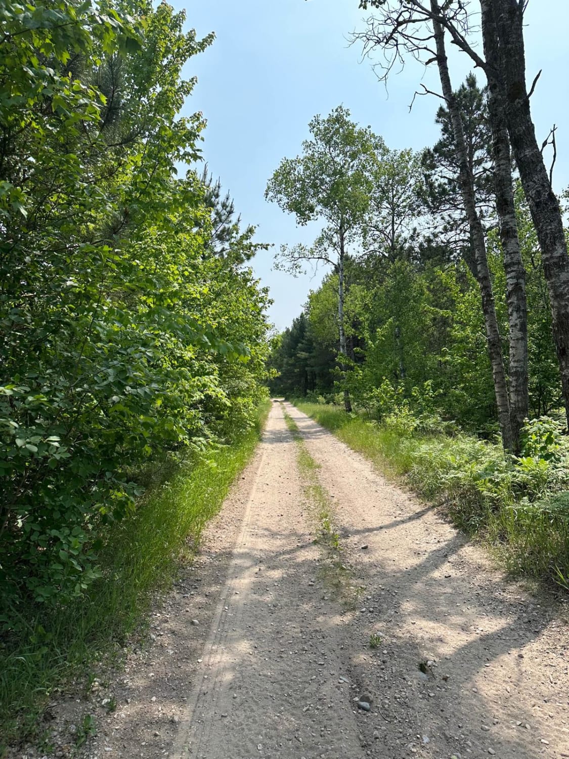
South Haze Road Part 2 starts out on a single-lane trail. The trail is mostly sand and dirt. You will travel through a swampy area that could change during rainy weather. The trail is somewhat…
Learn more about South Haze Road Part 2
Total Miles
2.0
Tech Rating
2 Easy
Best Time
Spring, Summer, Fall
Learn more about South Hyland Road
South Hyland Road

South Hyland Road

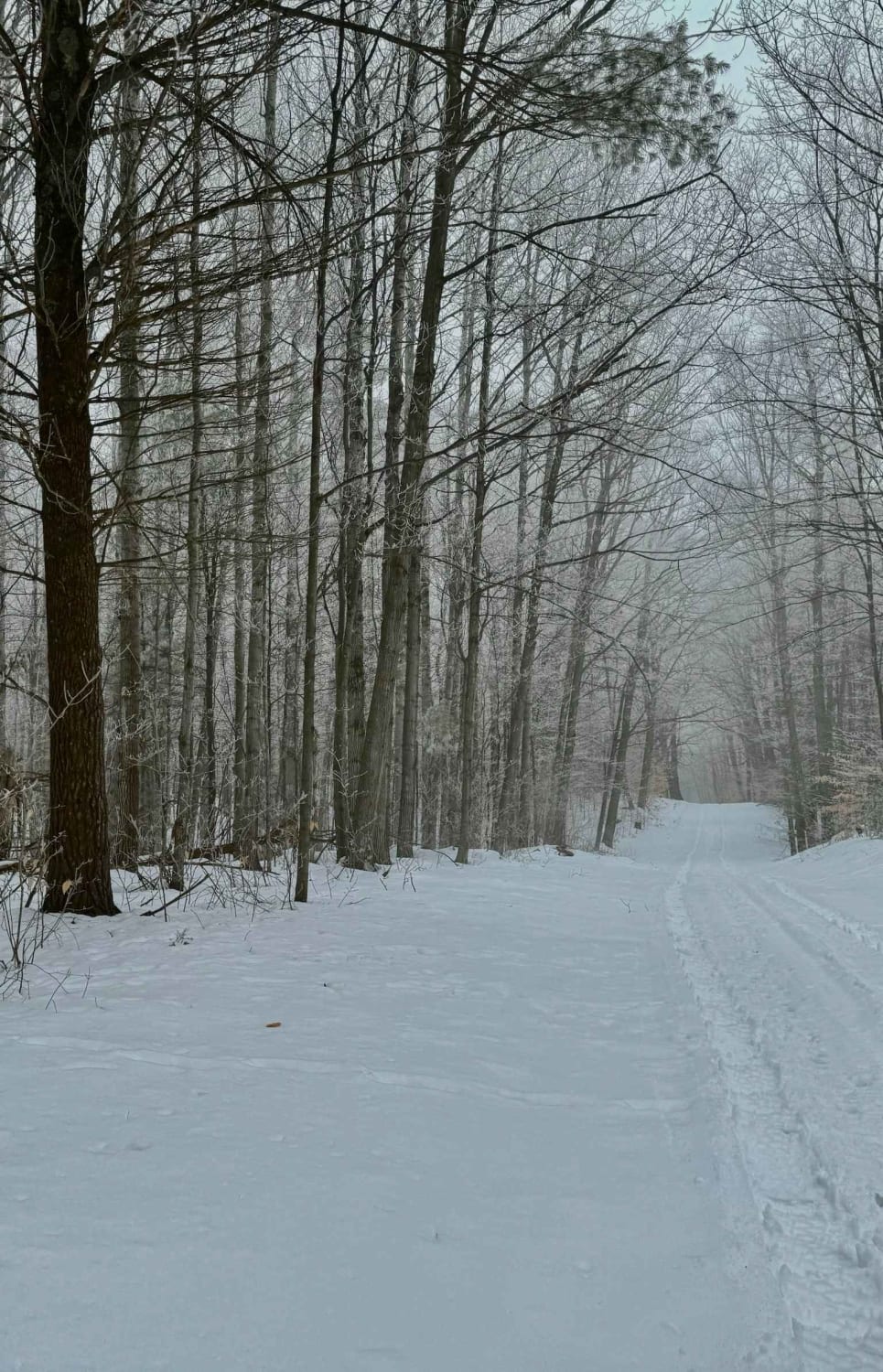
South Hyland Rd is a dirt/sand-based trail that runs east and west through Sleeping Bear Dunes National Lakeshore land. This route climbs 225 feet through dense beech/maple northern hardwood forest. Along the trail, there are…
Learn more about South Hyland Road
Total Miles
1.1
Tech Rating
2 Easy
Best Time
Spring, Summer, Fall, Winter
Learn more about South Little Trout Creek
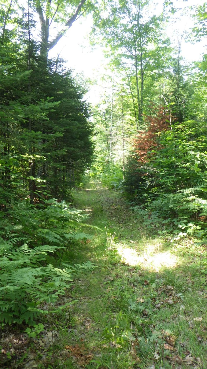
South Little Trout Creek

South Little Trout Creek

This route is a forgotten road that has little to no traffic. If you are looking for a nice drive through the woods down a road/trail that nature is trying to reclaim, this is the…
Learn more about South Little Trout Creek
Total Miles
2.1
Tech Rating
2 Easy
Best Time
Summer, Fall
Learn more about South Mandan Trail
South Mandan Trail

South Mandan Trail

This trail is a long stretch of what can easily be turned into a loop trail. The South Mandan trail is a hard surface trail of mixed rock that you can take many detours off…
Learn more about South Mandan Trail
Total Miles
11.1
Tech Rating
3 Easy
Best Time
Summer, Spring, Fall
Learn more about South Meridian
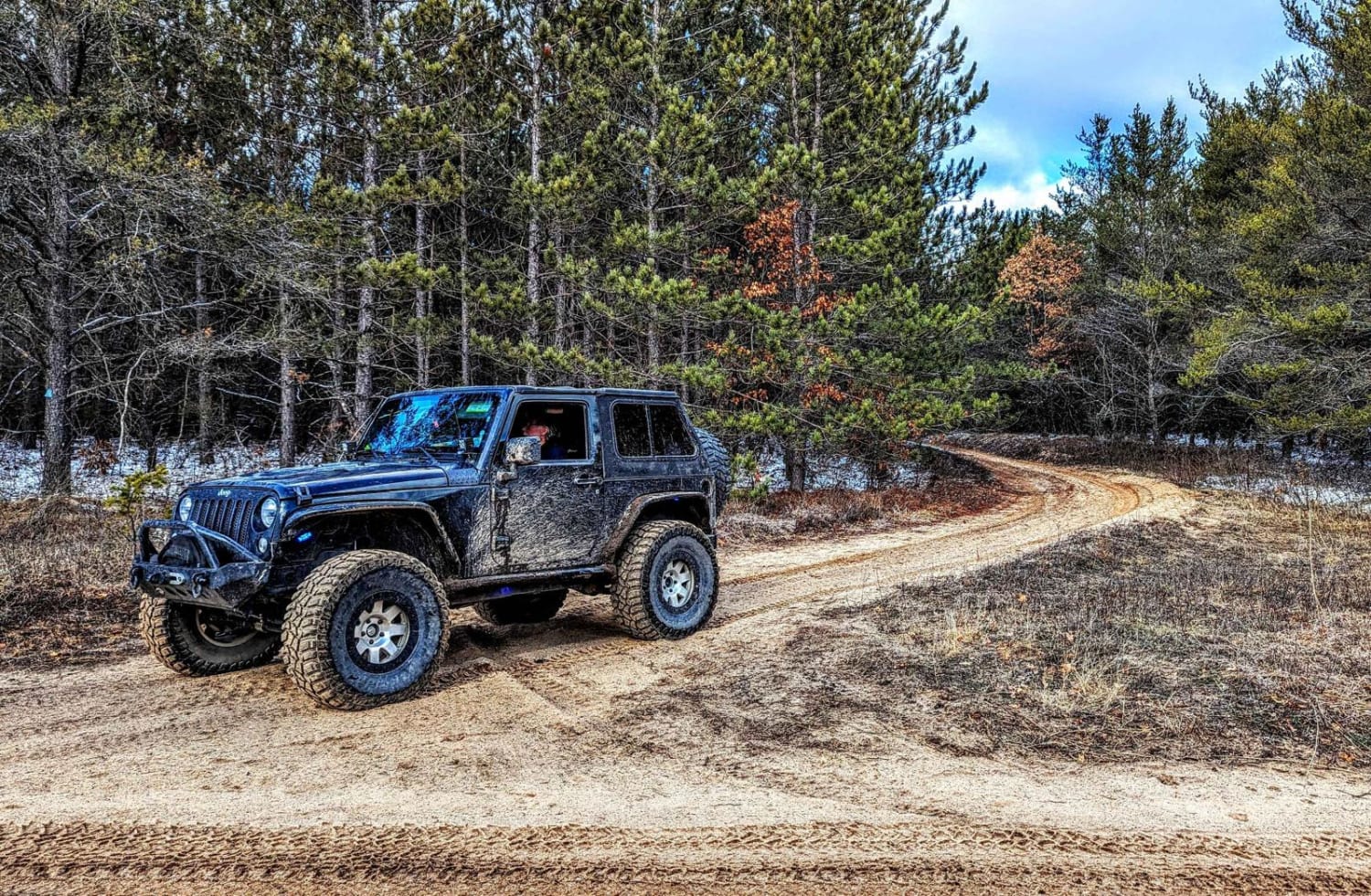
South Meridian

South Meridian

This trail runs south and north with the north side of this trail being 4 vehicles wide. This north section is mixed traffic, allowing SxS, motorcycles, quads, and full-sized vehicles. From December through March, only…
Learn more about South Meridian
Total Miles
6.9
Tech Rating
2 Easy
Best Time
Fall, Summer, Spring
Learn more about South Mott - FS 2793
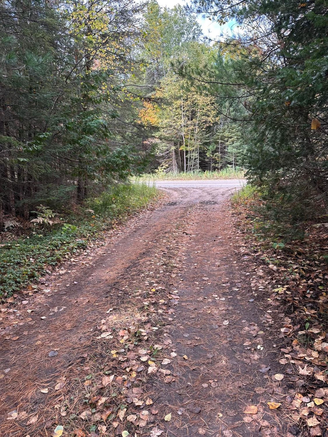
South Mott - FS 2793

South Mott - FS 2793

South Mott - FS 2793 is a narrow single-lane dirt two-track. Overgrown with ferns, brush, and tree limbs along the trail making it tight in some areas. The trail runs along the Indian river canoe…
Learn more about South Mott - FS 2793
Total Miles
2.1
Tech Rating
2 Easy
Best Time
Spring, Summer, Fall
Learn more about South Pioneer Loop
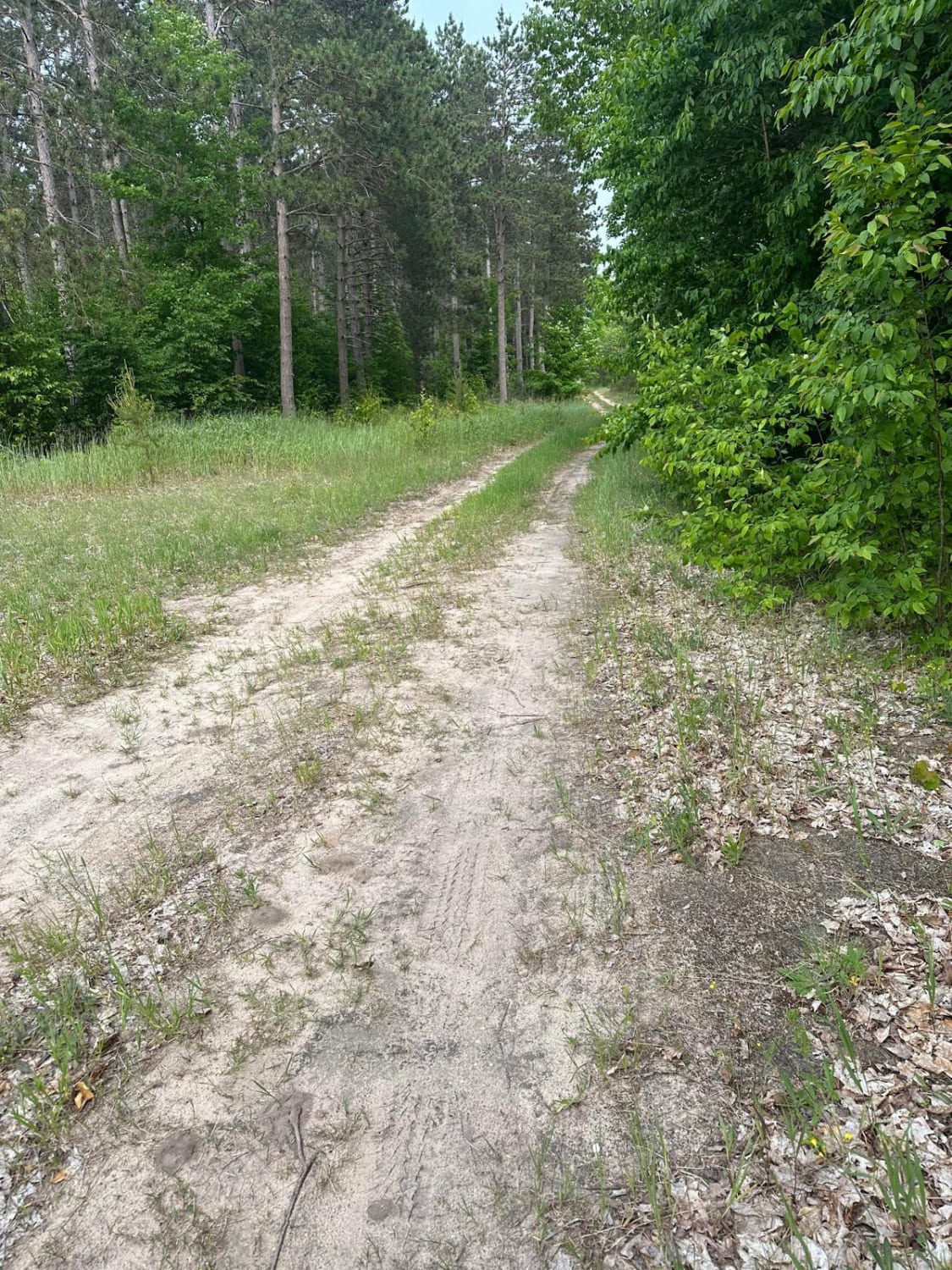
South Pioneer Loop

South Pioneer Loop

South Pioneer Loop starts out as a single-lane trail. The trail is mostly sand and dirt. The trails start out with bee hives on your left but these are not on state land. This trail…
Learn more about South Pioneer Loop
Total Miles
1.1
Tech Rating
2 Easy
Best Time
Spring, Summer, Fall
Learn more about South Reynolds Road Spur
South Reynolds Road Spur

South Reynolds Road Spur

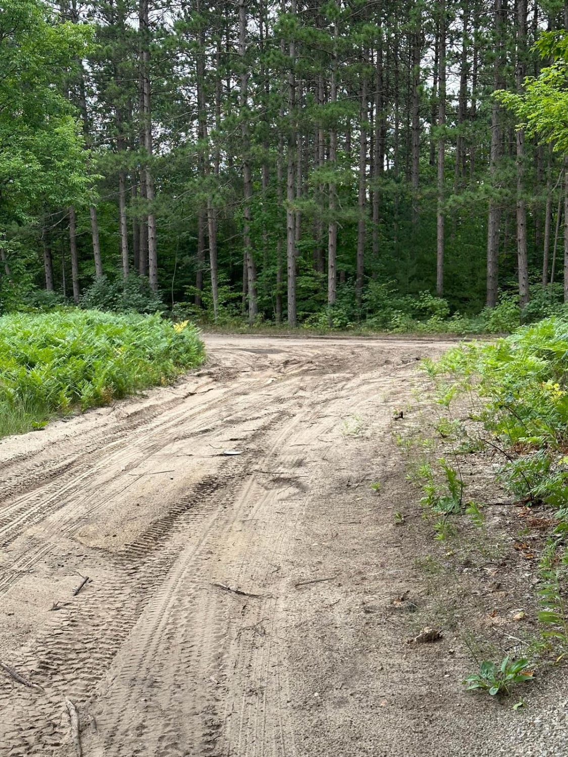
The trail is a single-lane two-track dirt road with soft sand and mud in areas. Pines and hardwoods make up most of the trail. Wild raspberries line both sides of the two-track. The trail is…
Learn more about South Reynolds Road Spur
Total Miles
1.6
Tech Rating
2 Easy
Best Time
Spring, Summer, Fall
Learn more about South Rim
South Rim

South Rim

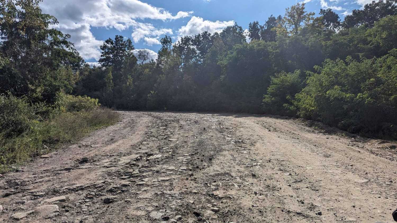
South Rim is the main hall road that runs from the middle of the park to the back area. Many trails branch off of this road. There are some areas that are rutted and muddy,…
Learn more about South Rim
Total Miles
0.6
Tech Rating
1 Easy
Best Time
Summer, Spring, Winter, Fall
Learn more about South Route to Marble Head
South Route to Marble Head

South Route to Marble Head

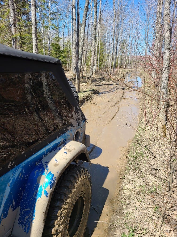
The trail has a mix of rock, water, stunning views, and mud. Winches are highly recommended. Stay out of the bay and stay on the trail. A Jeep badge can be earned by completing the…
Learn more about South Route to Marble Head
Total Miles
7.0
Tech Rating
7 Difficult
Best Time
Spring, Summer, Fall
Learn more about South Theils Road
South Theils Road

South Theils Road

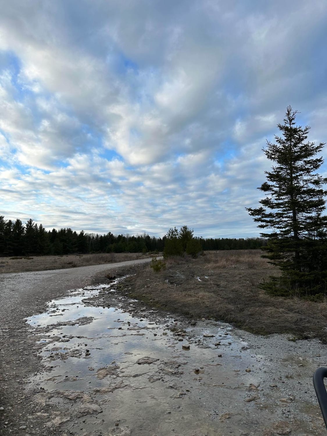
South Theils Road is another dirt road that's off Bruce Point Road. It's a dead-end road so you will need to turn around and take the same track out. Theils Rd. Is another opportunity to…
Learn more about South Theils Road
Total Miles
1.2
Tech Rating
1 Easy
Best Time
Fall, Summer, Spring
Learn more about South Thoreson Road
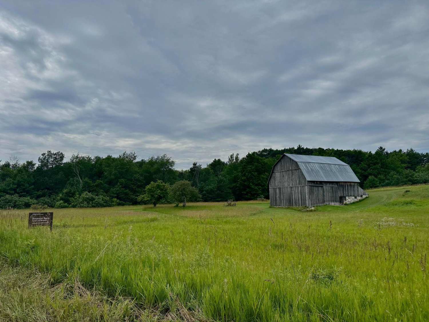
South Thoreson Road

South Thoreson Road

South Thoreson Road offers incredible views of what this national lakeshore has to offer. From Great Lakes views to wooded forests and rolling farmlands. This route is accessible for all vehicles. The road is well-graded…
Learn more about South Thoreson Road
Total Miles
2.2
Tech Rating
1 Easy
Best Time
Spring, Summer, Fall, Winter

The onX Offroad Difference

onX Offroad combines trail photos, descriptions, difficulty ratings, width restrictions, seasonality, and more in a user-friendly interface. Available on all devices, with offline access and full compatibility with CarPlay and Android Auto. Discover what you’re missing today!