Hill City Trail
Total Miles
14.4
Technical Rating
Best Time
Spring, Summer, Fall
Trail Type
60" Trail
Accessible By
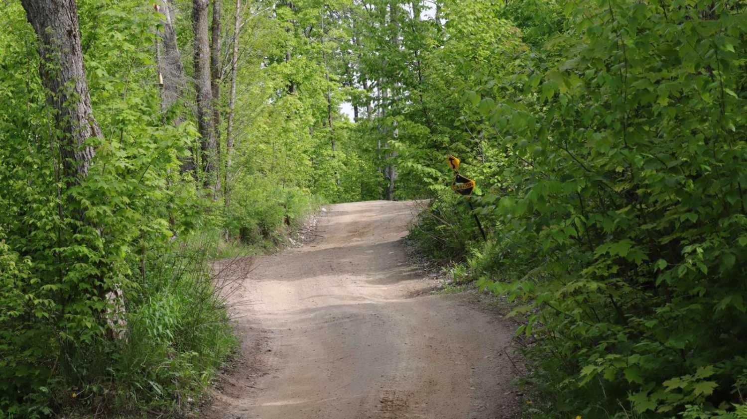
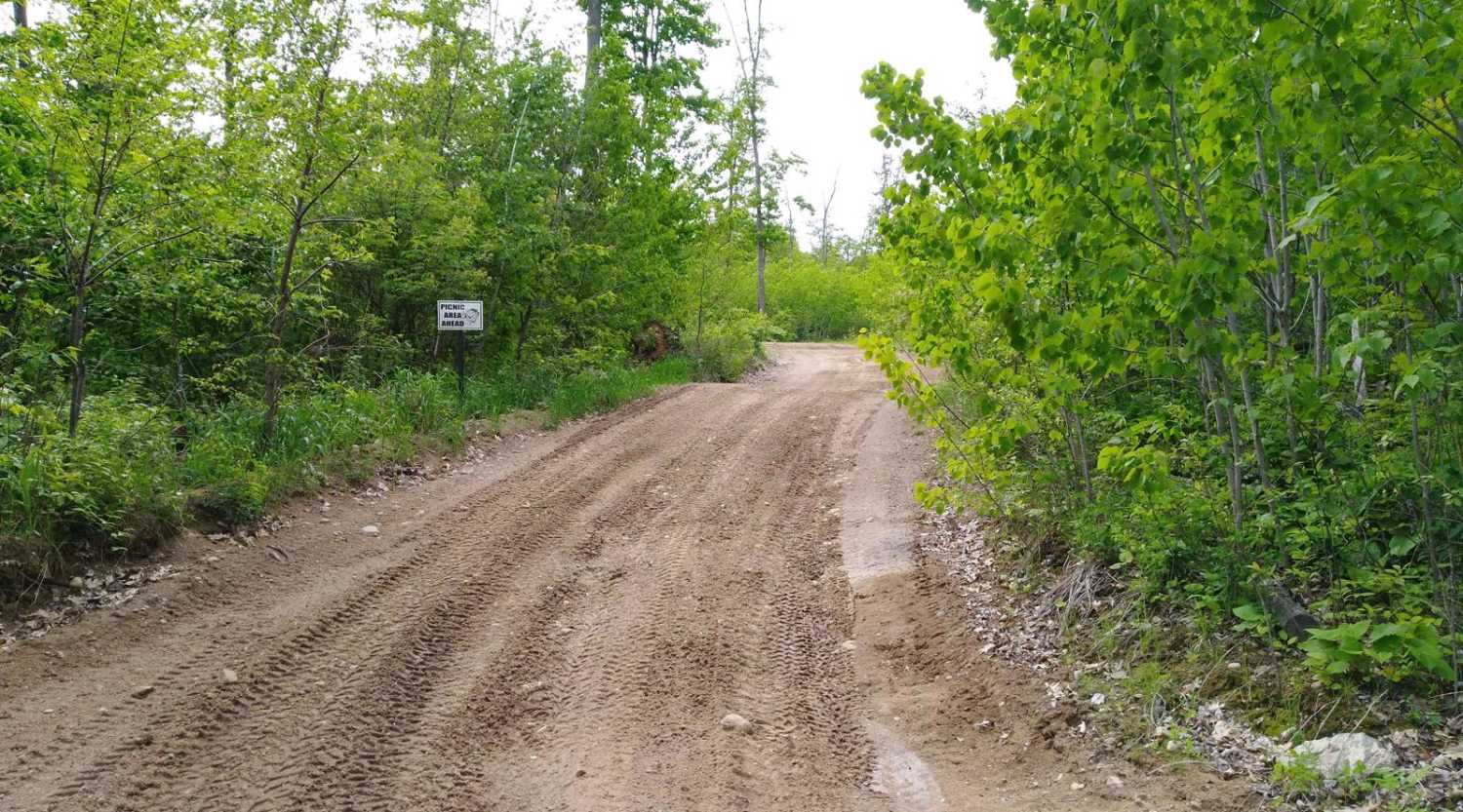
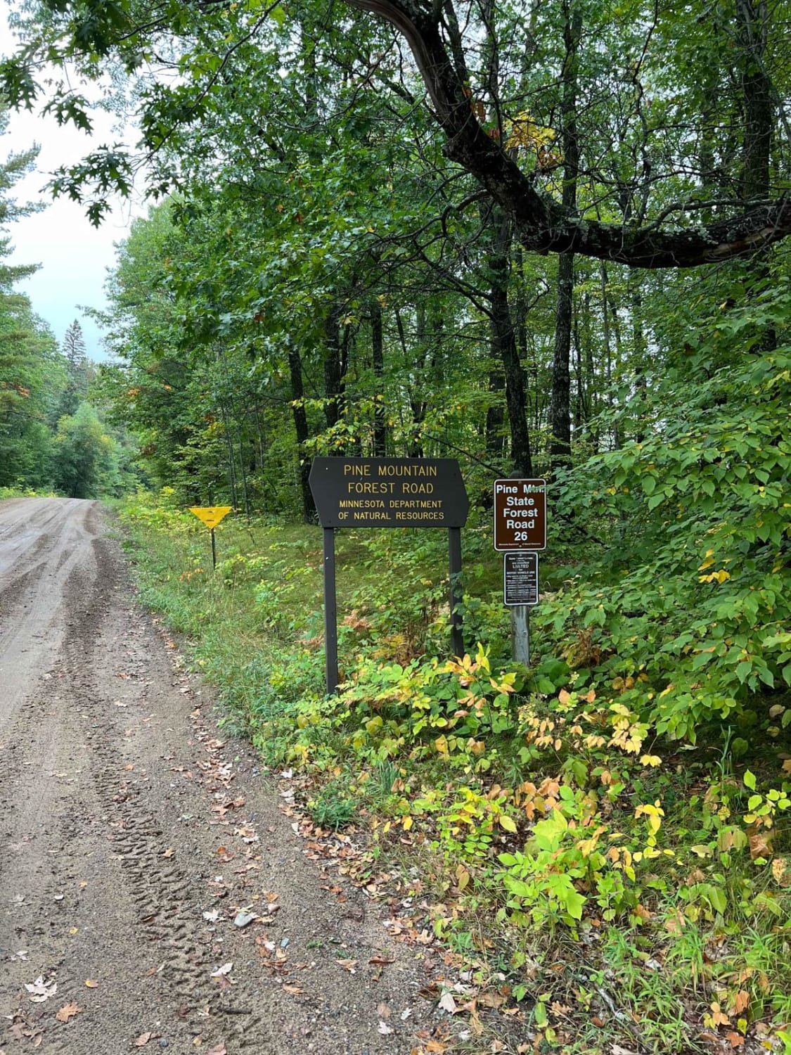
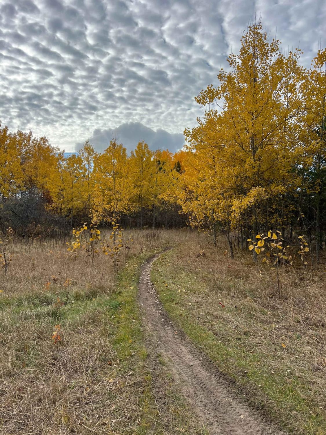
Trail Overview
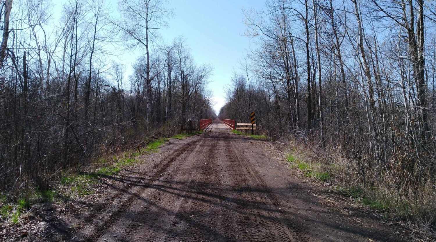
The Hill City Trail runs between the Rabey Line and Soo Line Trails, as the name suggests it takes you over, on the side of and around area hills. This trail is 14.2 miles long and takes just under an hour with average speeds of 16.3 MPH including time to take trail pictures. This trail is easy to follow with changes in scenery, hills, ridges, and from lightly wooded to open areas and wetlands. You will find "Floating Bridges" to cross some of the wetlands areas. The North Wood Quads Club has several picnic areas, including 2 covered picnic areas. (This trail overlaps a snowmobile trail named "Haypoint Trail" in areas so don't let the signage get you off trail.)
Photos of Hill City Trail
Difficulty
This hilly terrain is made easy on the trail system, be aware some of the side hills will become slippery in rainy weather. As with all hills keep right and reduce speed expecting to meet others. The 3 rating is due to narrow areas of "floating bridges" that are along the low land swamp areas and care will be needed when meeting other riders. (One vehicle width with places to pass)

Popular Trails
Spider Lake North State Forestry Rd
Scenic River Overlook Single Track
Kettle River to Lawler Loop Trails

Blind Lake Connector Trail - North 68
The onX Offroad Difference
onX Offroad combines trail photos, descriptions, difficulty ratings, width restrictions, seasonality, and more in a user-friendly interface. Available on all devices, with offline access and full compatibility with CarPlay and Android Auto. Discover what you’re missing today!