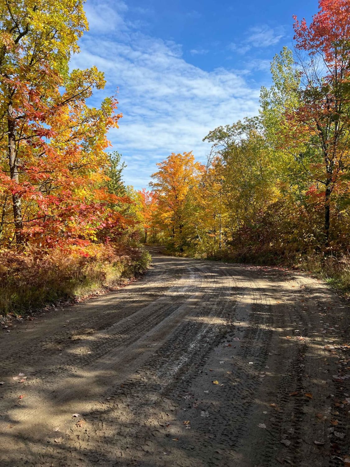
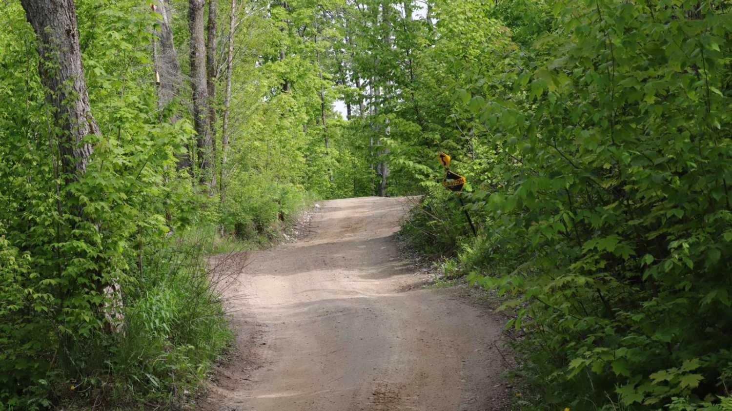
Moose River Connector Trail
Total Miles
5.4
Elevation
424.52 ft
Duration
0.33 Hours
Technical Rating
Best Time
Spring, Summer
Trail Overview
Moose River Connector Trail is mapped from the Soo Line North Trail to the Pikus Forest Road at the Aitkin / Cass County line. This section is 5.6 miles long and takes about 20 minutes with an average speed of 15.5 MPH including the time it took for trail pictures. About a mile SW of the Soo Line the trail splits north or south then rejoins so either route gets you to the same place. North is about 1.5 miles and south is slightly shorter at 1 mile.
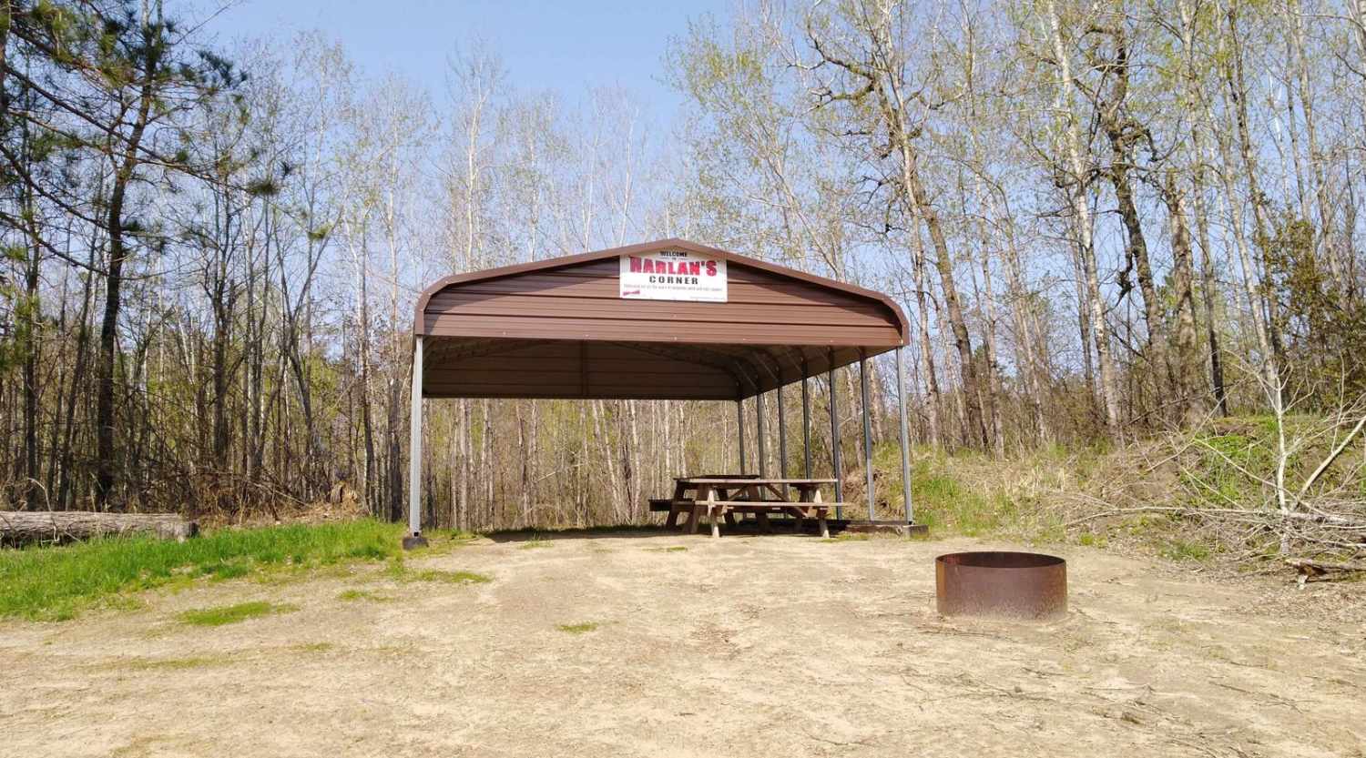
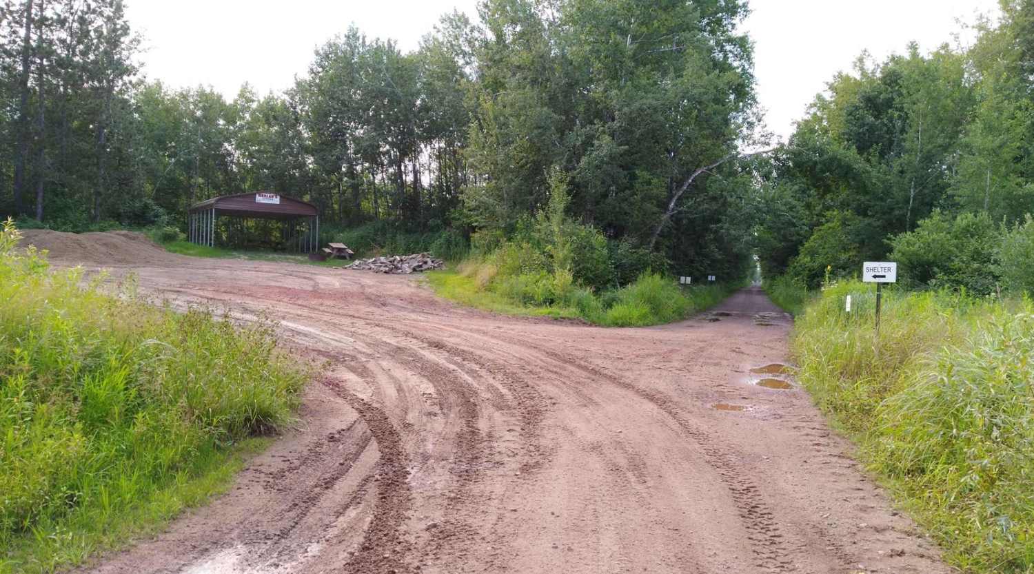
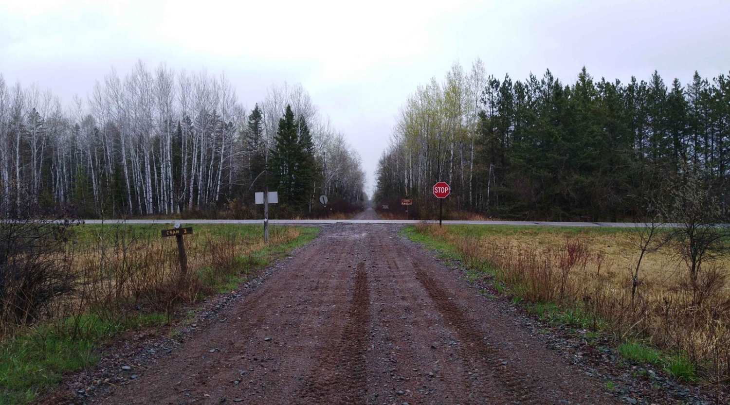
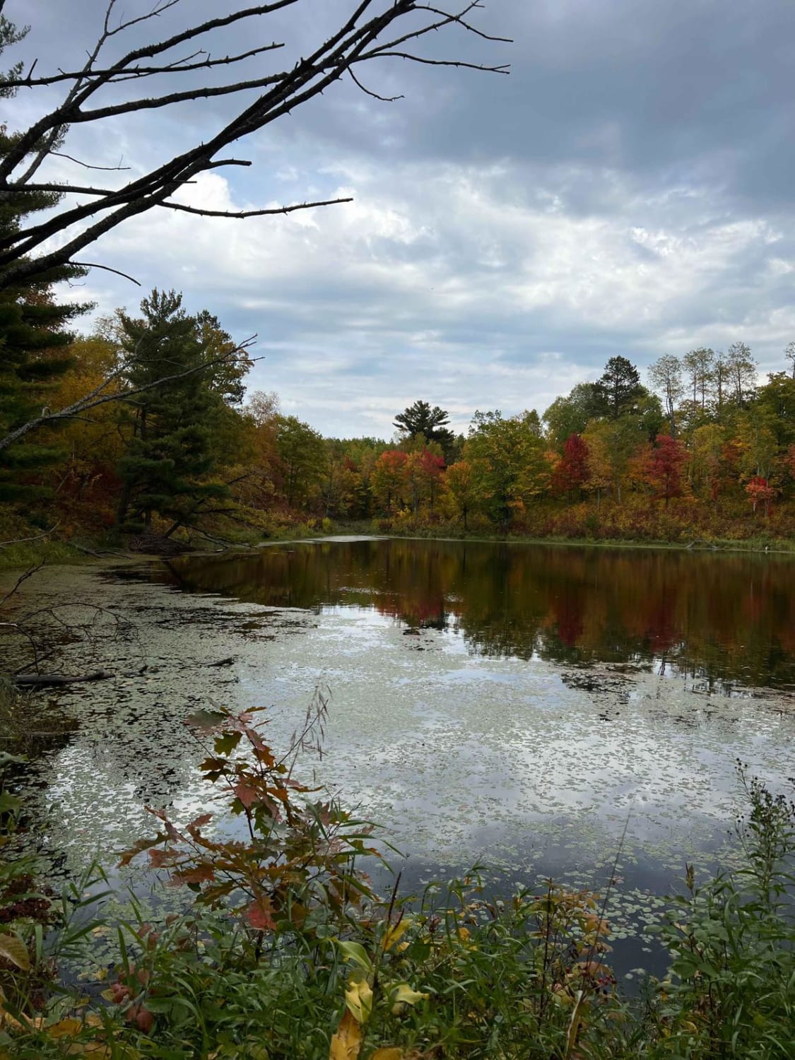
Photos of Moose River Connector Trail
Difficulty
Easy trail, some lowland areas have minor puddles but were no issue to cross when mapped. Trail width is the only reason for the difficulty rating of 2.
Status Reports
Popular Trails
County Road 3 to Wisconsin Border
Paul Bunyan Forest Road Parkway
Paul Bunyan Round River Dr. Forest Road
Hill City Trail
The onX Offroad Difference
onX Offroad combines trail photos, descriptions, difficulty ratings, width restrictions, seasonality, and more in a user-friendly interface. Available on all devices, with offline access and full compatibility with CarPlay and Android Auto. Discover what you’re missing today!