Rabey Line
Total Miles
11.9
Technical Rating
Best Time
Spring, Summer, Fall
Trail Type
60" Trail
Accessible By
Trail Overview
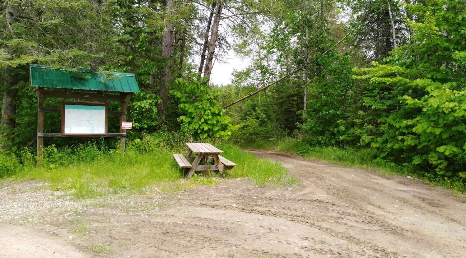
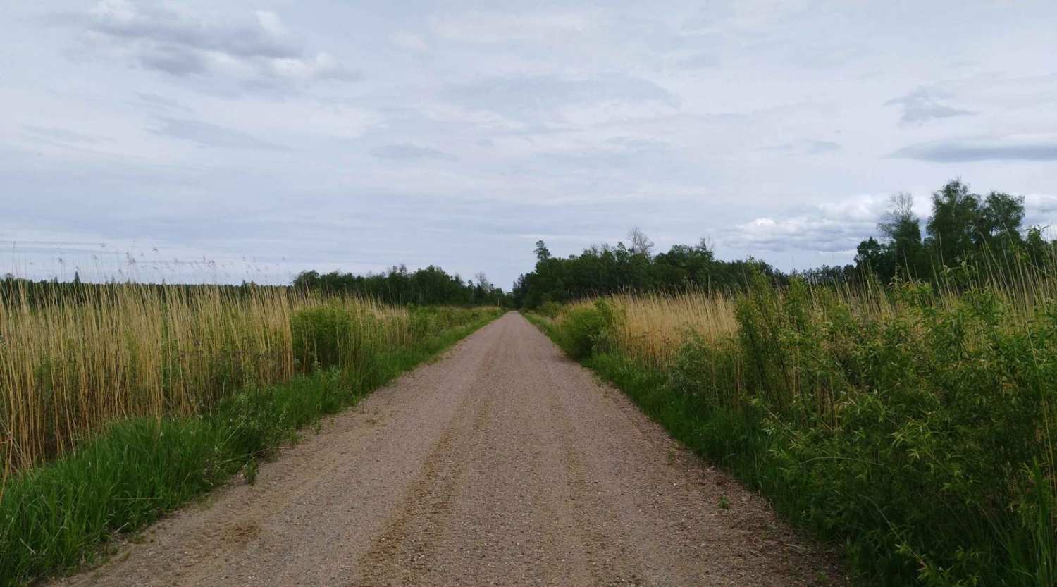
Rabey Line converted rail grade, this section is 12.1 miles long and takes about an hour and 15 minutes with an average speed of 10.1 MPH including time to take trail pictures. This is an easy section of trail starting from the Washburn Lake area where the old rail grade is no longer used at the intersection of UPM/Blandin Trail and Washburn Lake Forest Road (about 4 tenths of a mile is off the old rail grade). At this intersection, you can follow the Rabey Line rail grade to Jacobson. The remainder of this trail is easy to follow with changes in scenery from lightly wooded to open areas and wetlands.
Photos of Rabey Line
Difficulty
You will not encounter hills on this section, when mapped it did have a beaver dam that was causing trail flooding but not an issue to cross due to the old rail grade below providing a solid base. The 3 rating is due to narrow areas that are along the low land swap areas and care will be needed when meeting other riders (one vehicle width with places to pass).
History
Per trailside information markers the planning for the Rabey Line Railroad started in the spring of 1907 but finding a route and building the line took until June of 1909 with the last set of lightweight rails being set. The railroad line closed in 1935 after the wood supply was used up and the depression.
Status Reports
Rabey Line can be accessed by the following ride types:
- SxS (60")
- ATV (50")
- Dirt Bike
Rabey Line Map
Popular Trails

Penturan Road

Eager Beaver Loop
The onX Offroad Difference
onX Offroad combines trail photos, descriptions, difficulty ratings, width restrictions, seasonality, and more in a user-friendly interface. Available on all devices, with offline access and full compatibility with CarPlay and Android Auto. Discover what you’re missing today!


