Burns Mountain - FS 2136
Total Miles
1.7
Technical Rating
Best Time
Spring, Summer, Fall, Winter
Trail Type
Full-Width Road
Accessible By
Trail Overview
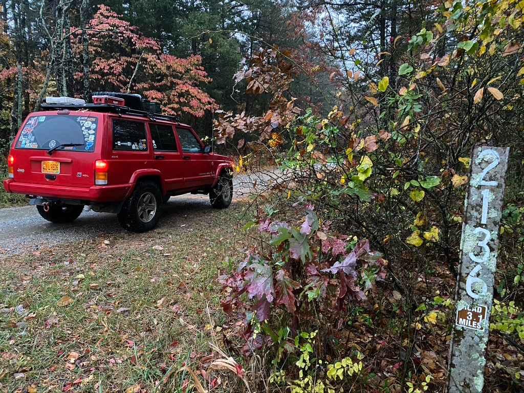
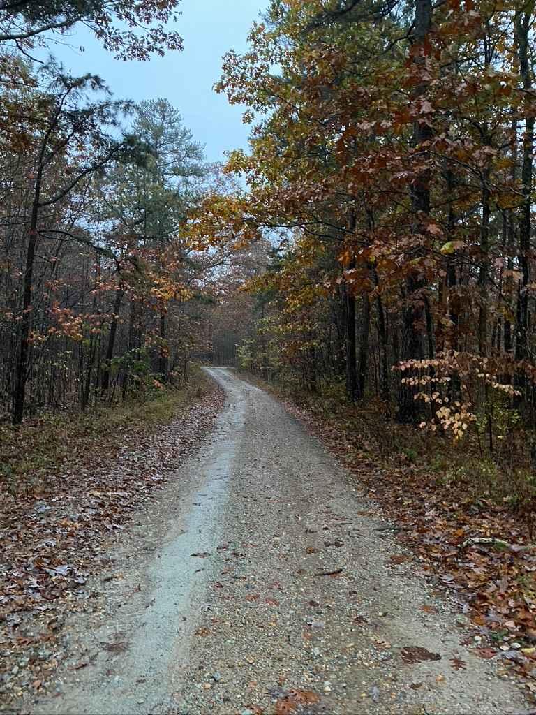
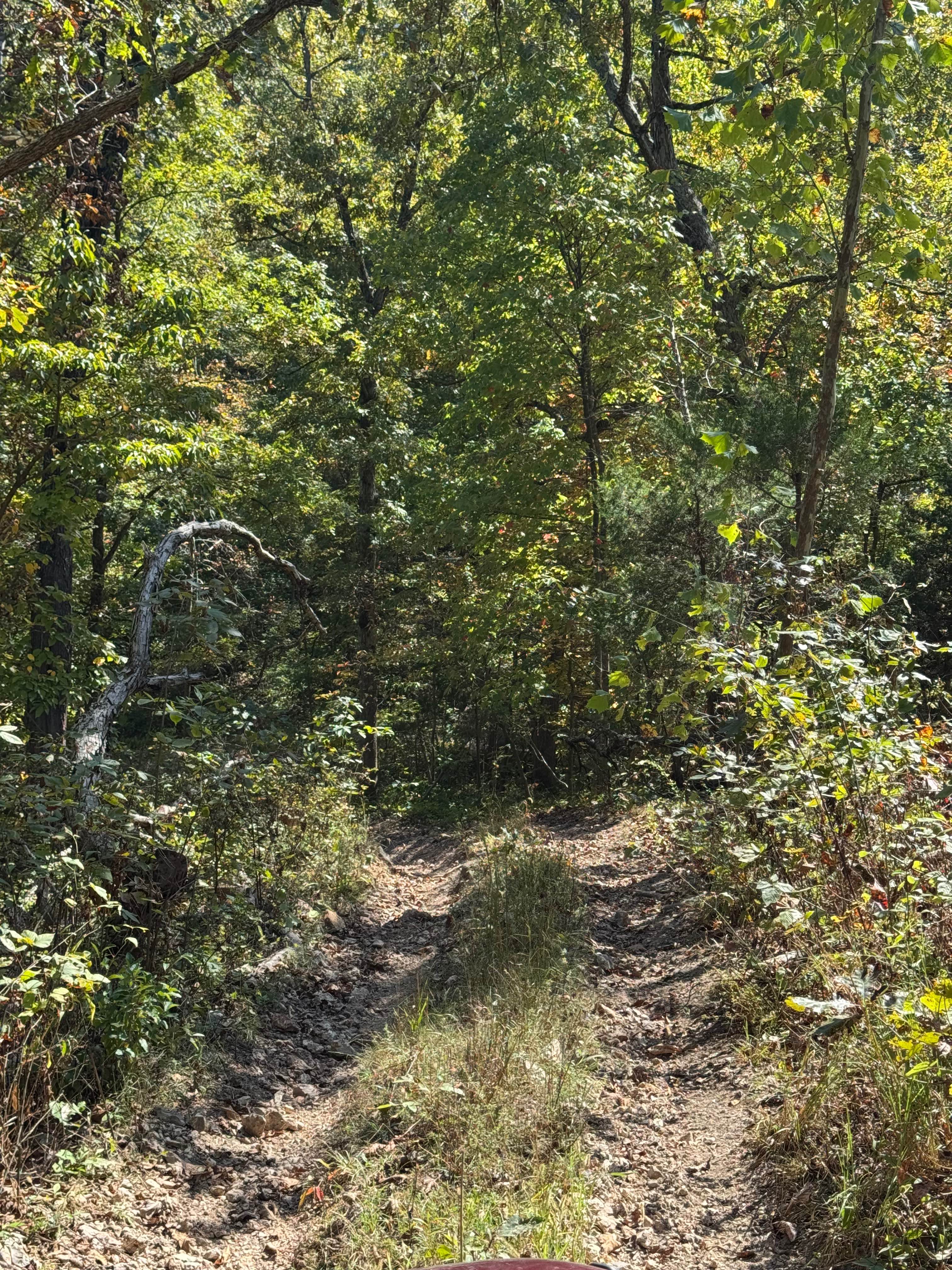
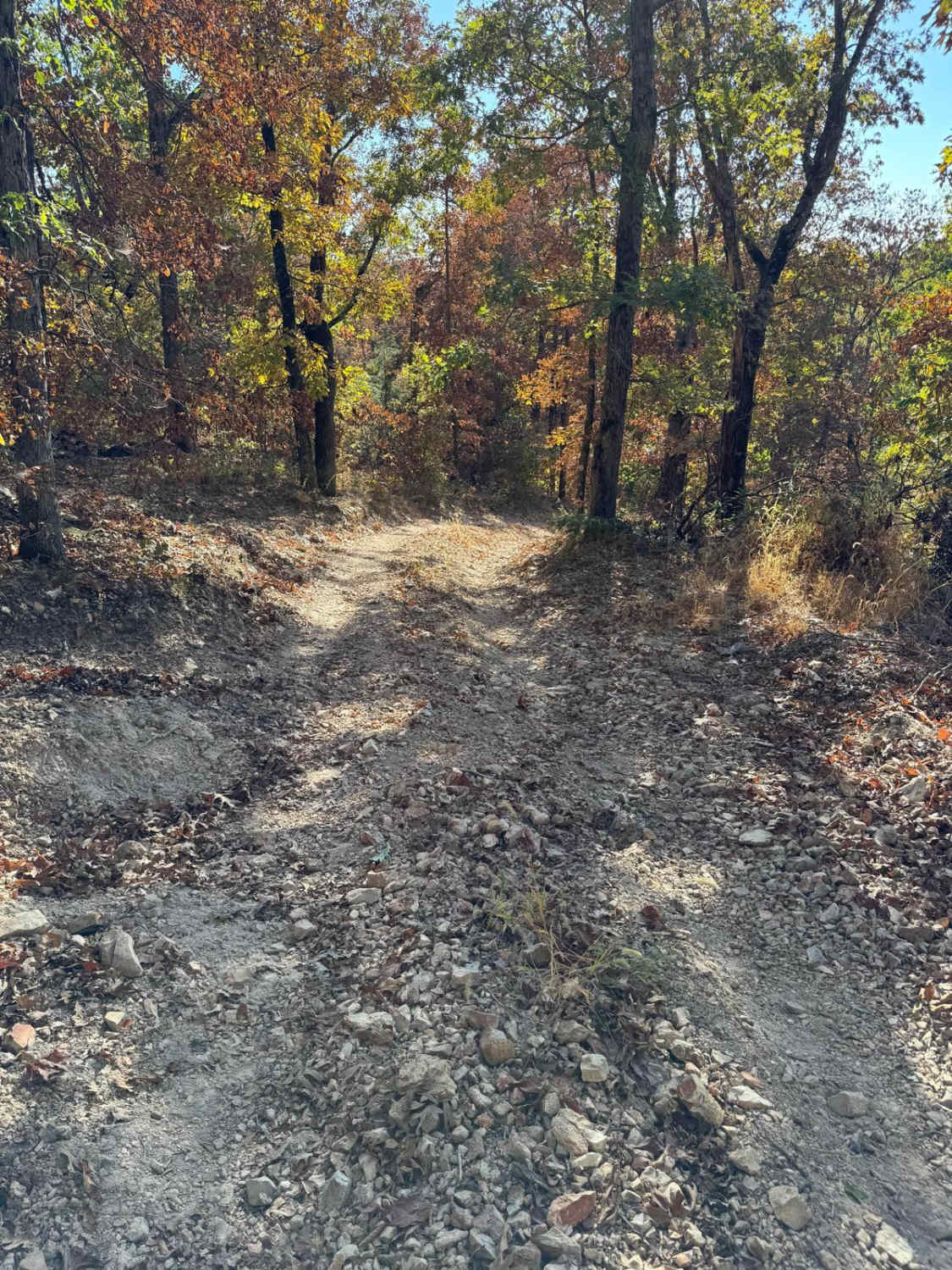
The Burns Mountain FS 2136 is a gravel forestry route within the Mark Twain National Forest Fredericktown Unit. The road is graceful and full of foliage, terrain-wise only featuring a few mild hills joined together by generally well-maintained gravel. The purpose of this trail is evident in the many small side trails and camp-size cutouts along the road, showing its heavy hunting utility. The road ultimately ends at the large turnaround/campsite at 37.46636, -90.27154. Note that the road keeps going past this camp onto private ground; please be respectful of the proximity to the private property and don't cross the no-trespass signs. If you're seeking a quiet discreet camping location (out of hunting season) in the Fredericktown Unit but want to remain 5-10 minutes from town, look no further.
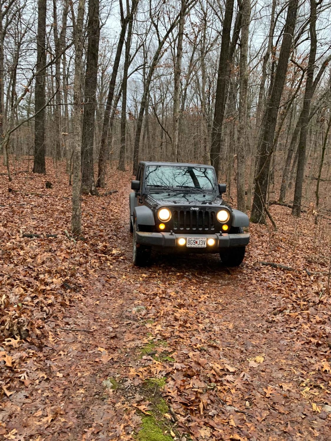
Photos of Burns Mountain - FS 2136
Difficulty
Burns Mountain FS 2136 is easy-going. The road may show user wear during the long stretch of its maintenance cycle or soft spots after extremely heavy rain, but it is typically well-graded and used often by hunters. The most you will encounter on a normal day is dust (if it is very dry, lots of dust) and the typical potholes, washboards, and mounding of gravel.
Status Reports
Burns Mountain - FS 2136 can be accessed by the following ride types:
- High-Clearance 4x4
- SUV
Burns Mountain - FS 2136 Map
Popular Trails
Power Wagon Trail 75
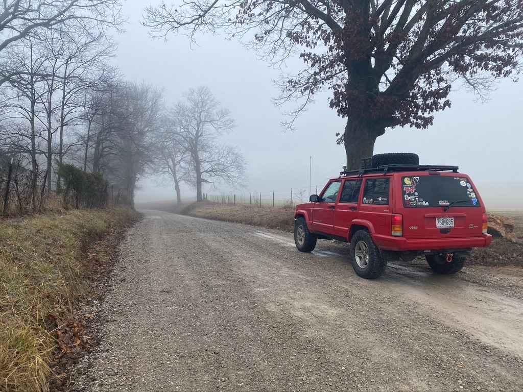
Old Plantation Access Road
The onX Offroad Difference
onX Offroad combines trail photos, descriptions, difficulty ratings, width restrictions, seasonality, and more in a user-friendly interface. Available on all devices, with offline access and full compatibility with CarPlay and Android Auto. Discover what you’re missing today!
