Nine Mile Depths
Total Miles
1.5
Elevation
307.37 ft
Duration
0.5 Hours
Technical Rating
Best Time
Spring, Fall, Summer, Winter
Trail Overview
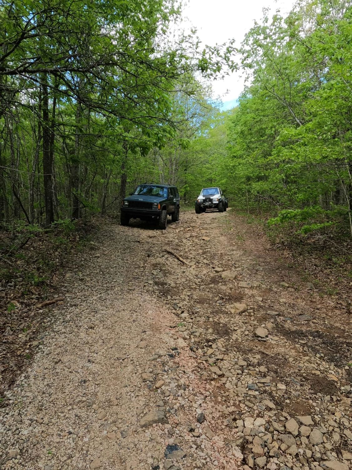
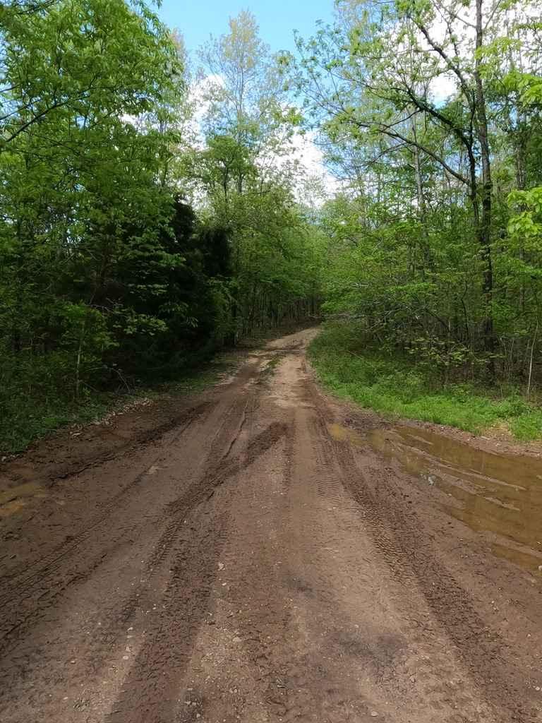
The Nine Mile Depths is a natural maintained road through the St Francois Mountains in the Fredericktown Sector of Mark Twain National Forest. The Nine Mile Depths is last 1.6 miles of the road where the difficulty ramps up from the first 7.8 miles of Nine Mile (Marsh Creek FSR 2120). It features larger natural rock sticking up at the surface, dirt sections, a few gravel sections, loose rock, water collection holes, ruts, slight off camber spots, and tightened width of the tree line at the edges, pin striping is likely.
Photos of Nine Mile Depths
Difficulty
The main difficulty is traversing the loose rock and natural rock, with less lift it will make you pick wise lines to get around them with out dragging while you dodge hitting the tightening trees, at a few spots may require multi-point turns to snake between the many trees. Add in water collection spots, mud, off-camber spots, and rain, and the difficulty is right in between a 3/10 and 4/10.
Popular Trails
Grassy Tower Loop
Huzzah Creek Train Tunnel
PeeWee Crossing
Skagway Road
The onX Offroad Difference
onX Offroad combines trail photos, descriptions, difficulty ratings, width restrictions, seasonality, and more in a user-friendly interface. Available on all devices, with offline access and full compatibility with CarPlay and Android Auto. Discover what you’re missing today!
