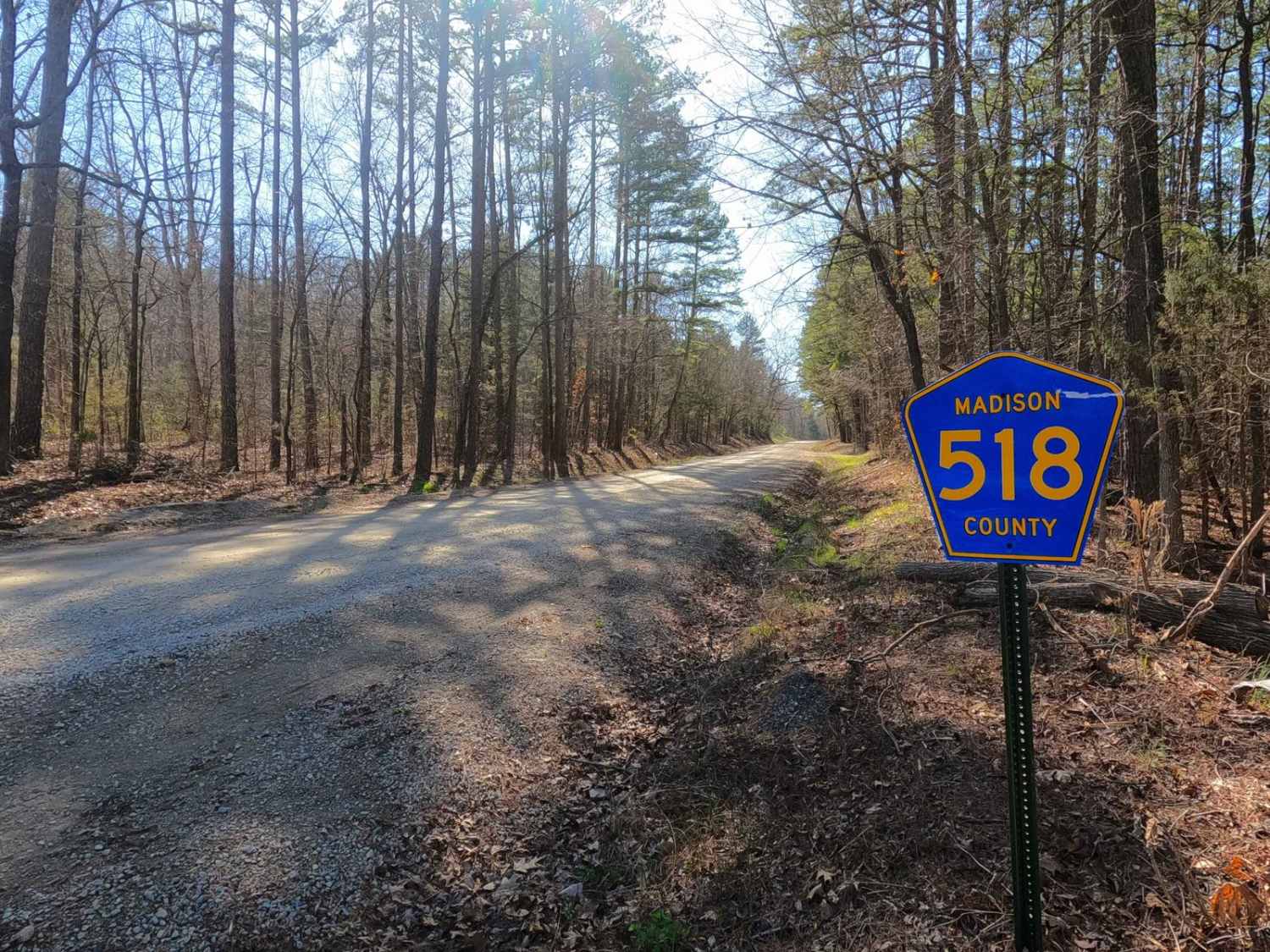
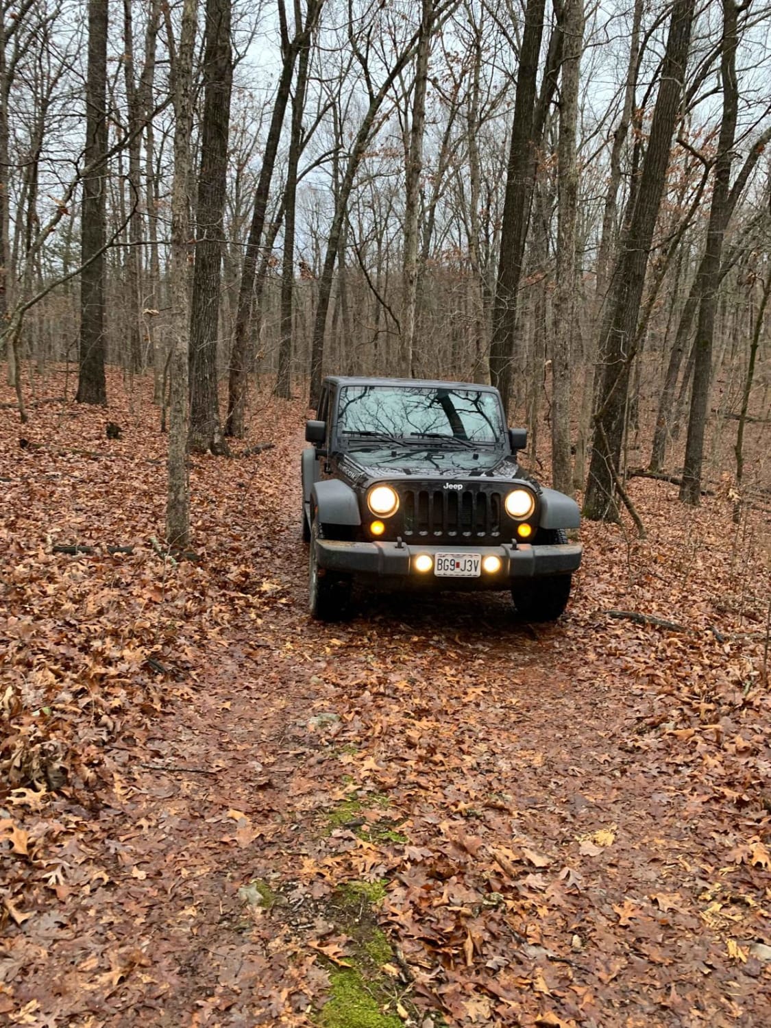
Rock Creek Road
Total Miles
3.5
Elevation
301.78 ft
Duration
0.25 Hours
Technical Rating
Best Time
Spring, Summer, Fall, Winter
Trail Overview
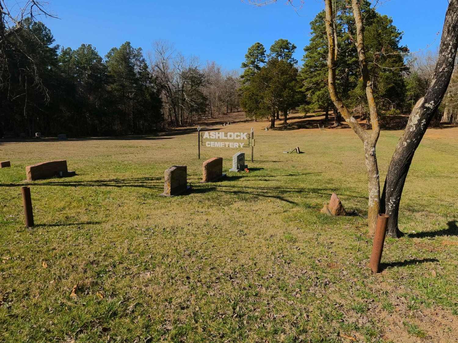
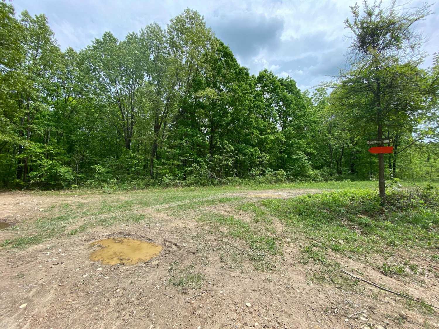
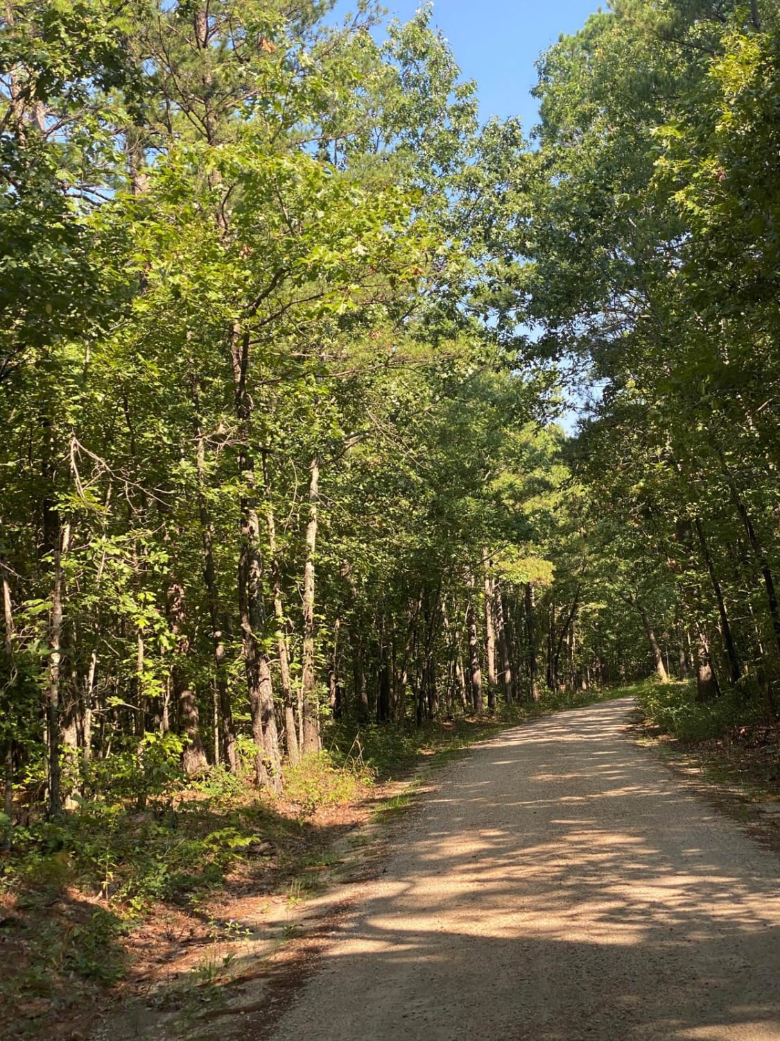
Rock Creek Road, or Madison County 518, is a gravel county road that traverses half private and half Mark Twain National Forest land through its track. The road is very scenic, showing off beautiful short-leaf pines growing adjacent to Rock Creek that parallels the edge of the road, giving views Missouri is known for. A roadside camp can be found at 37.54876, -90.50915, in between the road and creek to the north. It's a great road to know in the area to get a relaxing drive in, either as a therapeutic dose of nature or to escape westward from the Silver Mines Campground or Millstream Gardens Conservation Area. Both are worth pairing with a visit to this area, found to the east of Rock Creek Road--Silver Mines at 37.55466, -90.43800, and Millstream Gardens south lot at 37.55513, -90.46834. The northern Millstream Gardens area can be found at 37.57982, -90.46551 off Missouri-72. On the western portion of the trail, at 37.54878, -90.52945, an old Department of Natural Resources sign can be seen referring to the area as the Flatwoods - Rock Creek Area. Time is slowly erasing this history, and reference to this online is null.
Photos of Rock Creek Road
Difficulty
Rock Creek Road/Madison County 518 is a simple gravel road. Generally well maintained, it is given a base rating of 1/10, consisting of very mild grades up and down the rolling hills of the area. Expect washboards, potholes, mounding of the gravel, and potential mild signs of erosion on the hills. The road could experience difficulty increases in times of heavy use, wet conditions, and inclement weather.
History
Nearby history: "Silver Mines Recreation Area is named for the abandoned "Einstein Mine", which was mined for Silver, Tungsten, and Lead. The Einstein Silver Mining Company began mining in 1877, and mining ceased completely in 1946." Sourced from the Forest Service, https://www.fs.usda.gov/recarea/mtnf/recreation/camping-cabins/recarea/?recid=21840&actid=29.
Popular Trails
Bass River Scenic Route
The onX Offroad Difference
onX Offroad combines trail photos, descriptions, difficulty ratings, width restrictions, seasonality, and more in a user-friendly interface. Available on all devices, with offline access and full compatibility with CarPlay and Android Auto. Discover what you’re missing today!