Shepard Cutoff - 2228
Total Miles
1.8
Technical Rating
Best Time
Spring, Summer
Trail Type
Full-Width Road
Accessible By
Trail Overview
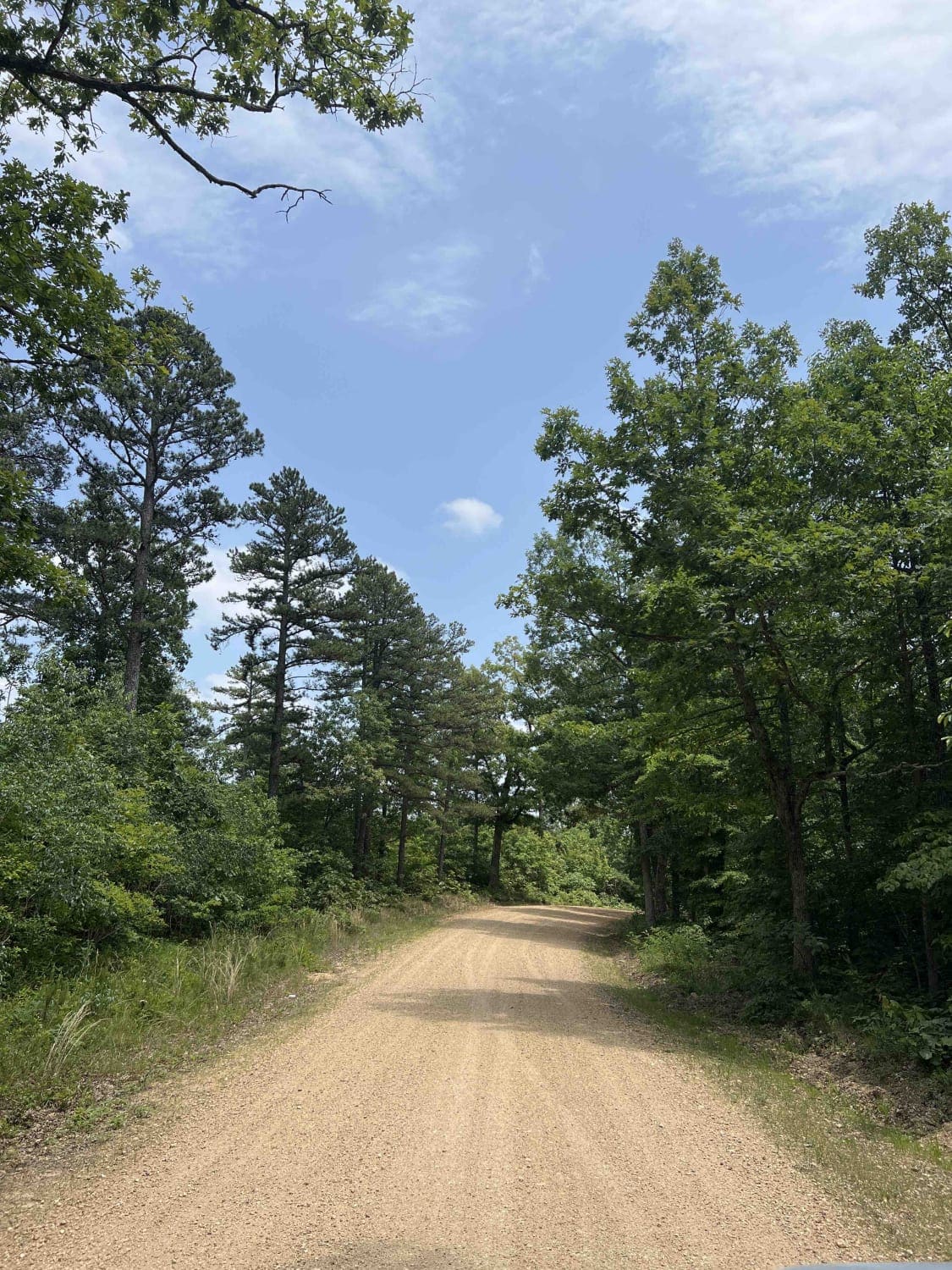
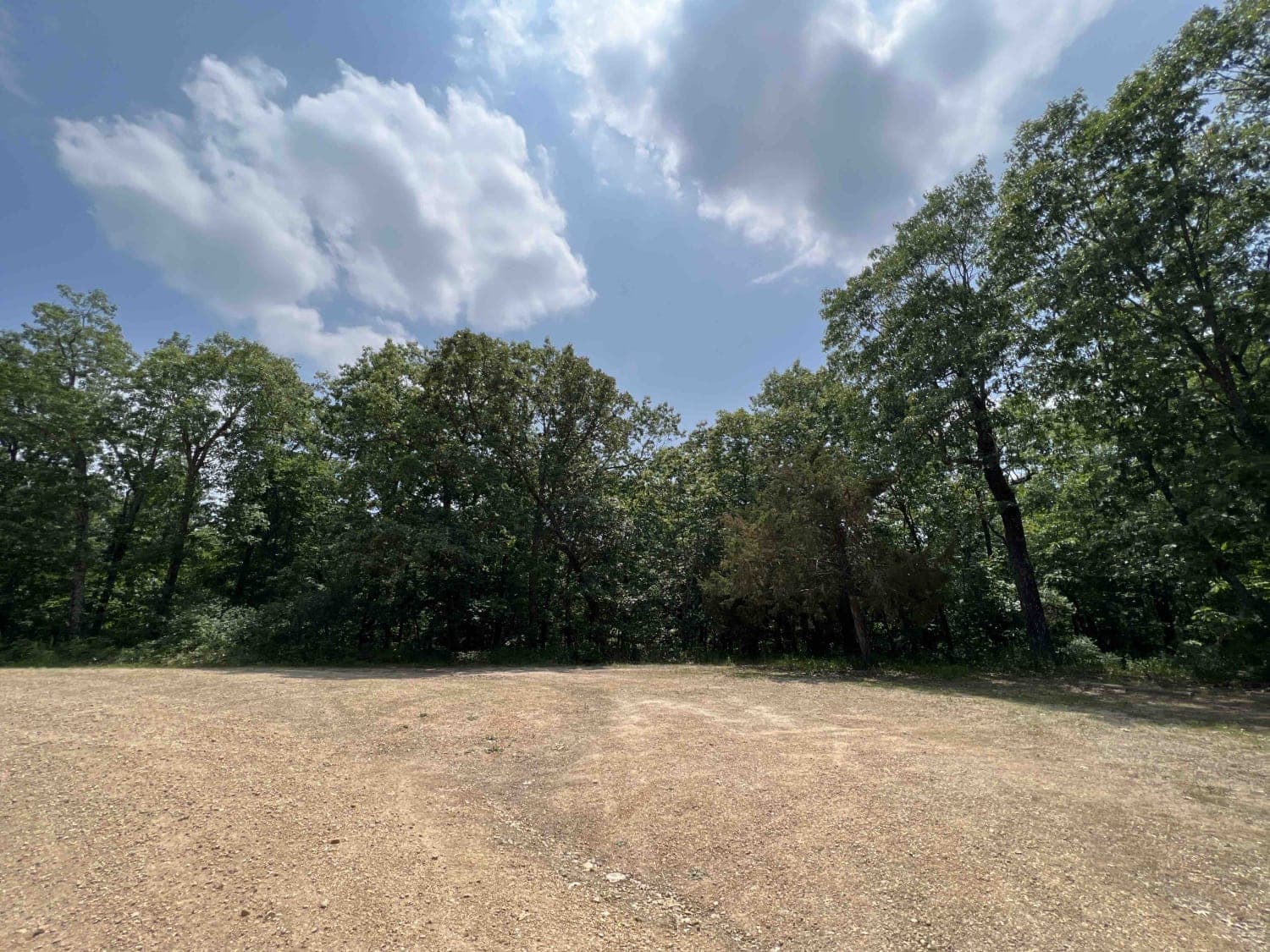
Shepard Cutoff 2228 is the gateway to Bell Mountain Wilderness which is a 9,143 acre wilderness located right outside of Caledonia, Missouri. This road is well-maintained with gravel and curves through the Mark Twain National Forest which encompasses 1.5 million acres. Along this route, you will come to the Shepard Cutoff -Trail Head that starts the 8.1-mile trek. From there you will continue down this road to the road to Legacy Mountain 2359. This route leads you to a 2.1-mile hike to Legacy Mountain and back. There you can find a registration box and TH sign. This trail provides little to no cell service so be prepared. Dispersed camping is available but is primitive with no running water or restrooms. Missouri is home to some serious thunderstorms along with tornados. Make sure to check the weather and all local information pertaining to the area. Flash flooding can occur and creeks can rise without notice. The Mark Twain National Forest is home to over 650 wildlife species. Bell Mountain Wilderness is lined with Oak and Hickory trees. The Box Turtle can be found in the middle of the road sunning themselves so be ready as they are everywhere. Some interestingly named species include the Hellbender also known as snot otter however you might also spot a black bear so take bear precautions while at camp. The Mark Twain National Forest will definitely not disappoint with its endless massive rainforest canopy that spans for miles.
Photos of Shepard Cutoff - 2228
Difficulty
This is an easy gravel road, however winter months this could be a very difficult and unpassable road due to ice and snow. Check local conditions before heading to this trail.
History
The Bell Mountain Wilderness was named after the family who once owned this land and farmed this area. Here is a website with more history of the area https://wilderness.net/visit-wilderness/?ID=35
Status Reports
Shepard Cutoff - 2228 can be accessed by the following ride types:
- High-Clearance 4x4
- SUV
- SxS (60")
- ATV (50")
- Dirt Bike
Shepard Cutoff - 2228 Map
Popular Trails
Skagway Road
Old Baptist Church Bo-Co Road 920

Stegall Tower - CCR 159
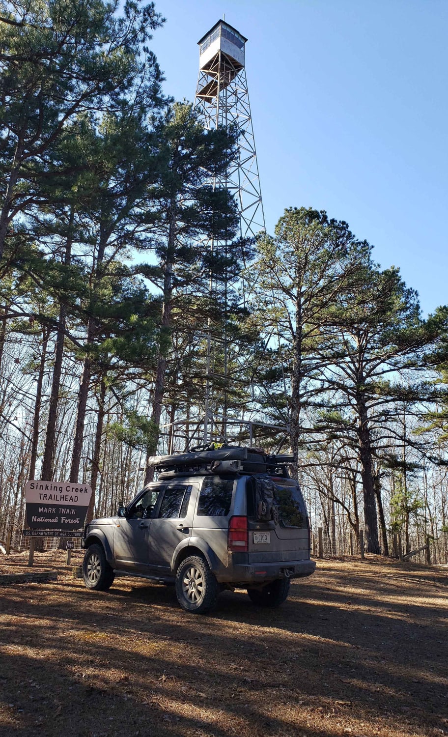
Mark Twain NF Trail
The onX Offroad Difference
onX Offroad combines trail photos, descriptions, difficulty ratings, width restrictions, seasonality, and more in a user-friendly interface. Available on all devices, with offline access and full compatibility with CarPlay and Android Auto. Discover what you’re missing today!
