High Road
Total Miles
3.3
Technical Rating
Best Time
Fall, Summer, Spring
Trail Type
Full-Width Road
Accessible By
Trail Overview
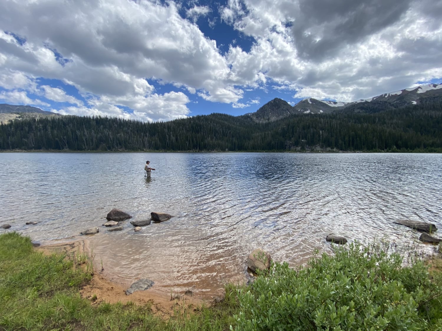
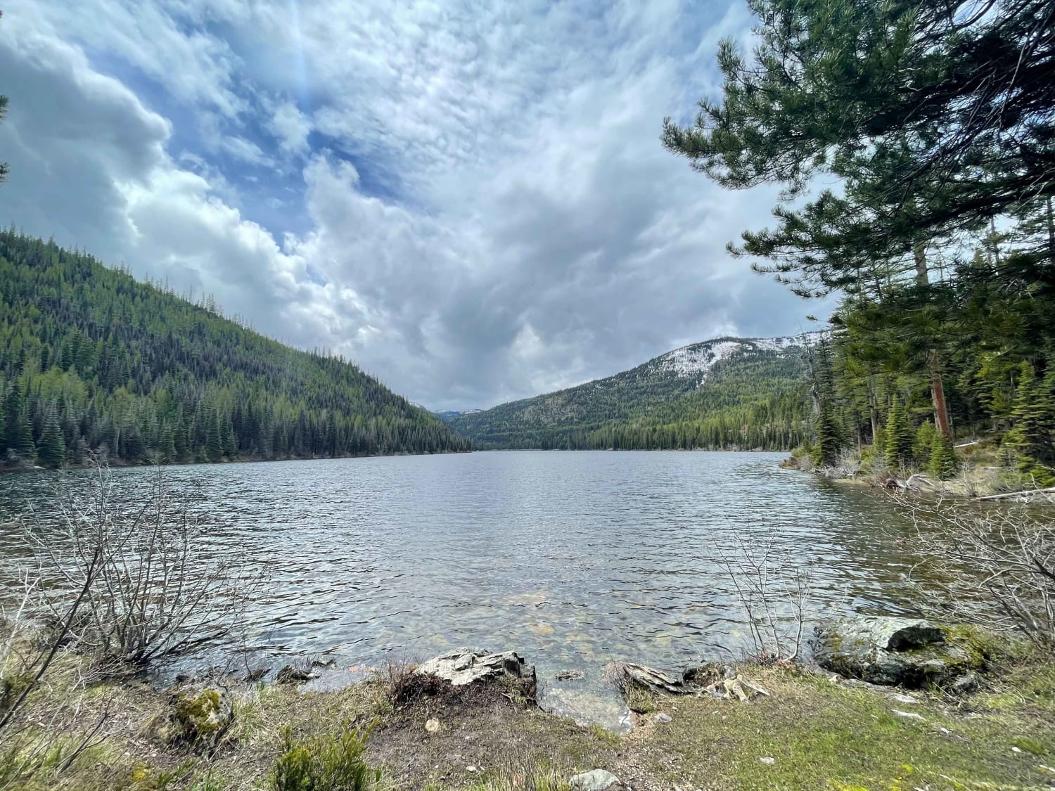
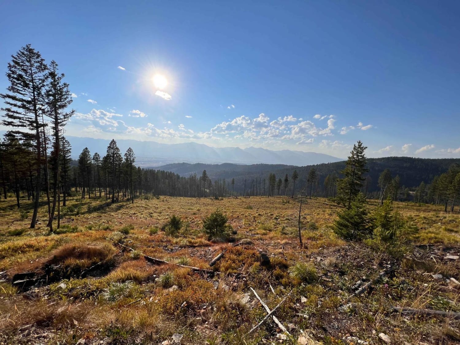
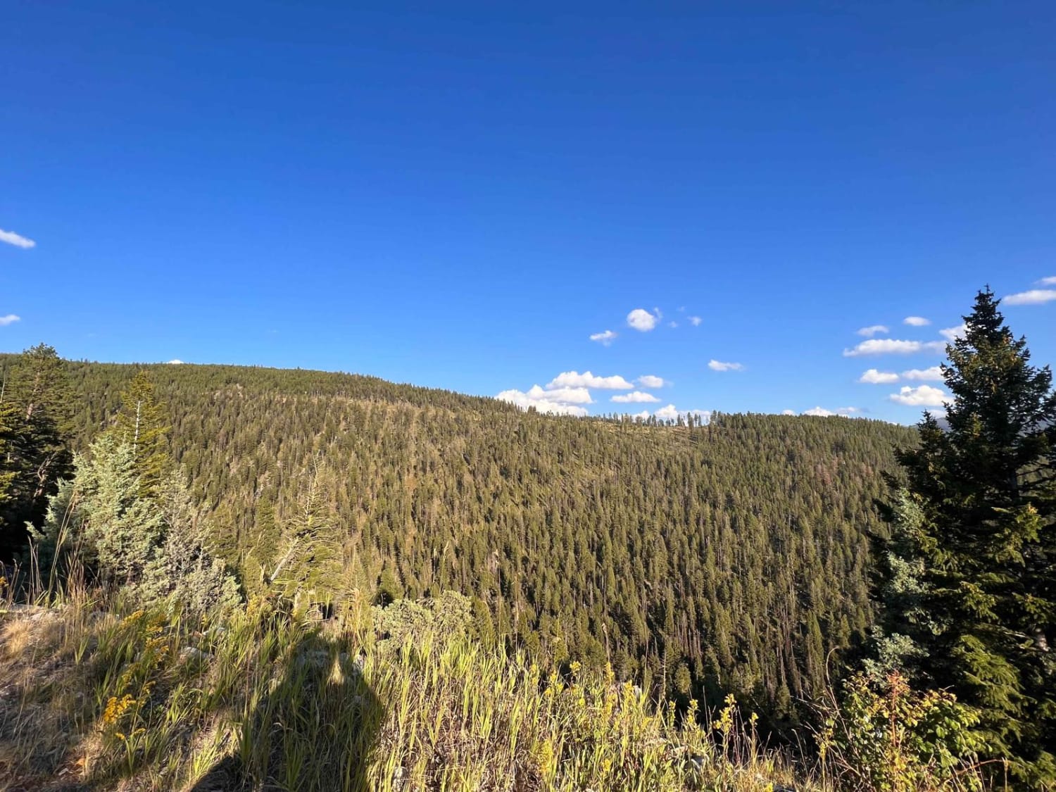
The name says it all this road runs up to one of the higher ones in the area. There are incredible vistas and decent dispersed camping spots--a few offshoot trails and a narrow section closer to the top. Once the trail begins to narrow, there are a few tighter turns, fewer spots for oncoming to pass, and a dense forest section. The trail ends at a line of trees where one could fit one to two rigs to camp, but the other spots earlier were much nicer. There are some rocky and rutted sections. Two bars of LTE service fade in and out.
Photos of High Road
Difficulty
Mostly easy, but some turns are quite tight, and some sections of the trail are very narrow and rocky with rutted sections.
Status Reports
Popular Trails

North Meadow - Twin Lakes

Oregon Lakes Rd-State Line Rd

Lake Marshall
The onX Offroad Difference
onX Offroad combines trail photos, descriptions, difficulty ratings, width restrictions, seasonality, and more in a user-friendly interface. Available on all devices, with offline access and full compatibility with CarPlay and Android Auto. Discover what you’re missing today!


