Miller Trail #2496
Total Miles
5.3
Technical Rating
Best Time
Spring, Summer, Fall
Trail Type
Full-Width Road
Accessible By
Trail Overview
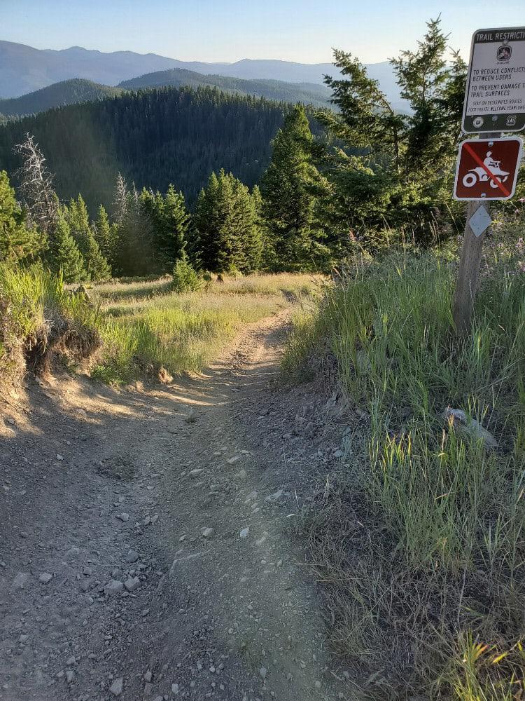
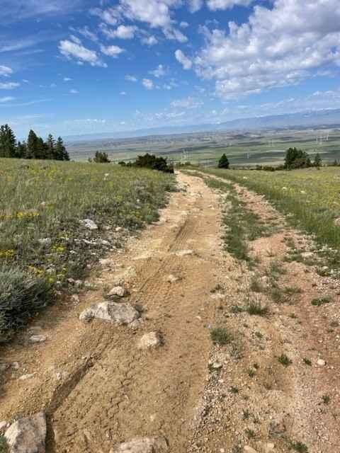
Miller Trail begins approximately 0.5 miles from the intersection of South Railbed Road and South Pryor Mountain Road. The trail is marked at the top only for some reason, but not at the bottom, so it is easy to miss. There is a nice staging area about 0.25 miles in to unload 4x4s. The trail itself is very loose and has several ledges to ascend. It is one of the least trafficked ways to get to Stockman Trail to traverse the Pryors. You will need 4WD to get up some of the ledges and loose rocks. The views at the top are incredible.
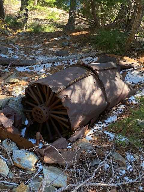
Photos of Miller Trail #2496
Difficulty
Expect very loose terrain with ledges to ascend.
Status Reports
Miller Trail #2496 can be accessed by the following ride types:
- High-Clearance 4x4
- SUV
- SxS (60")
- ATV (50")
- Dirt Bike
Miller Trail #2496 Map
Popular Trails

Gloria Mine Trail

Blue Mountain Look Out Trail

Miller Trail #2496
The onX Offroad Difference
onX Offroad combines trail photos, descriptions, difficulty ratings, width restrictions, seasonality, and more in a user-friendly interface. Available on all devices, with offline access and full compatibility with CarPlay and Android Auto. Discover what you’re missing today!

