Porcupine - FS 199
Total Miles
7.2
Technical Rating
Best Time
Summer
Trail Type
Single Track
Accessible By
Trail Overview
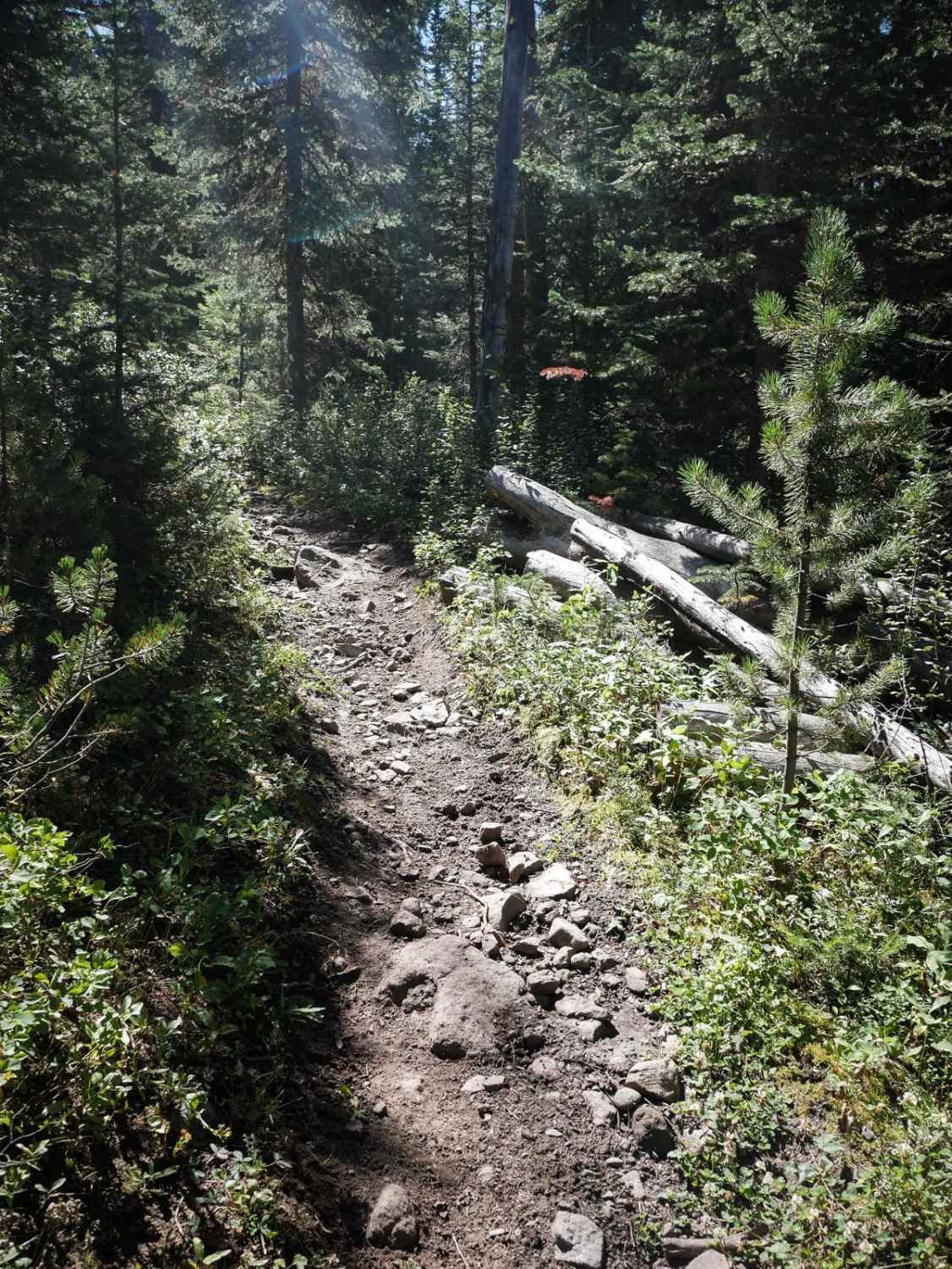
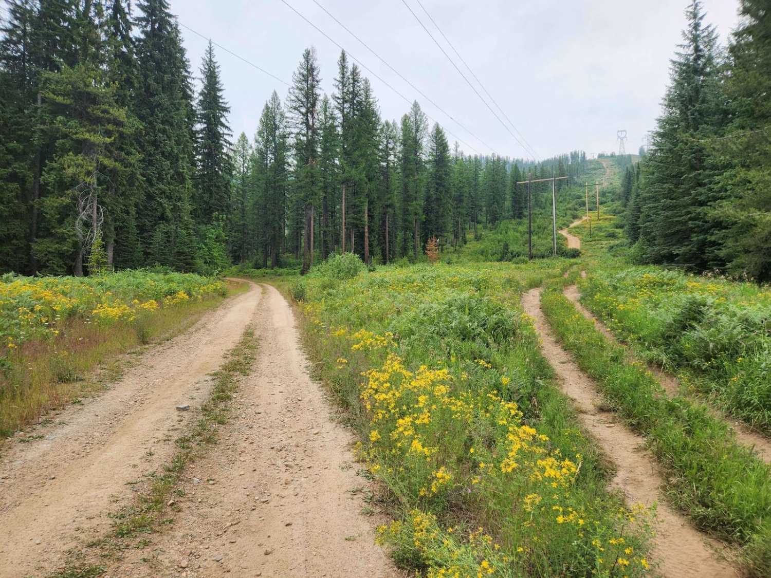
The Porcupine single track connects Buffalo Horn in the south to Porcupine Creek in the north. It goes for 7 miles through the Gallatin National Forest, through a mix of wide open grassy meadows, and denser forest. The trail through the meadows is really narrow and skinny, and sometimes rutted and muddy with split lines. The ruts will catch your pegs. The forest sections are very rocky, with lots of medium-embedded rocks and a couple of bigger boulders. The north end gets even rockier through the forest. They aren't big ledges or obstacles, just a very bumpy surface that is very jarring and tiring. The trail is open 7/16 - 9/4 to motorcycles.
Photos of Porcupine - FS 199
Difficulty
The majority of the trail is easy, but a lot of rocky sections make it intermediate difficulty. There are relentlessly rocky sections that will require some skill and endurance to ride.
Status Reports
Popular Trails
Flatiron Ridge
Cow Creek Road and Shiefman Hiking Trail
West Fork Fish Creek
The onX Offroad Difference
onX Offroad combines trail photos, descriptions, difficulty ratings, width restrictions, seasonality, and more in a user-friendly interface. Available on all devices, with offline access and full compatibility with CarPlay and Android Auto. Discover what you’re missing today!

